|
Smižany
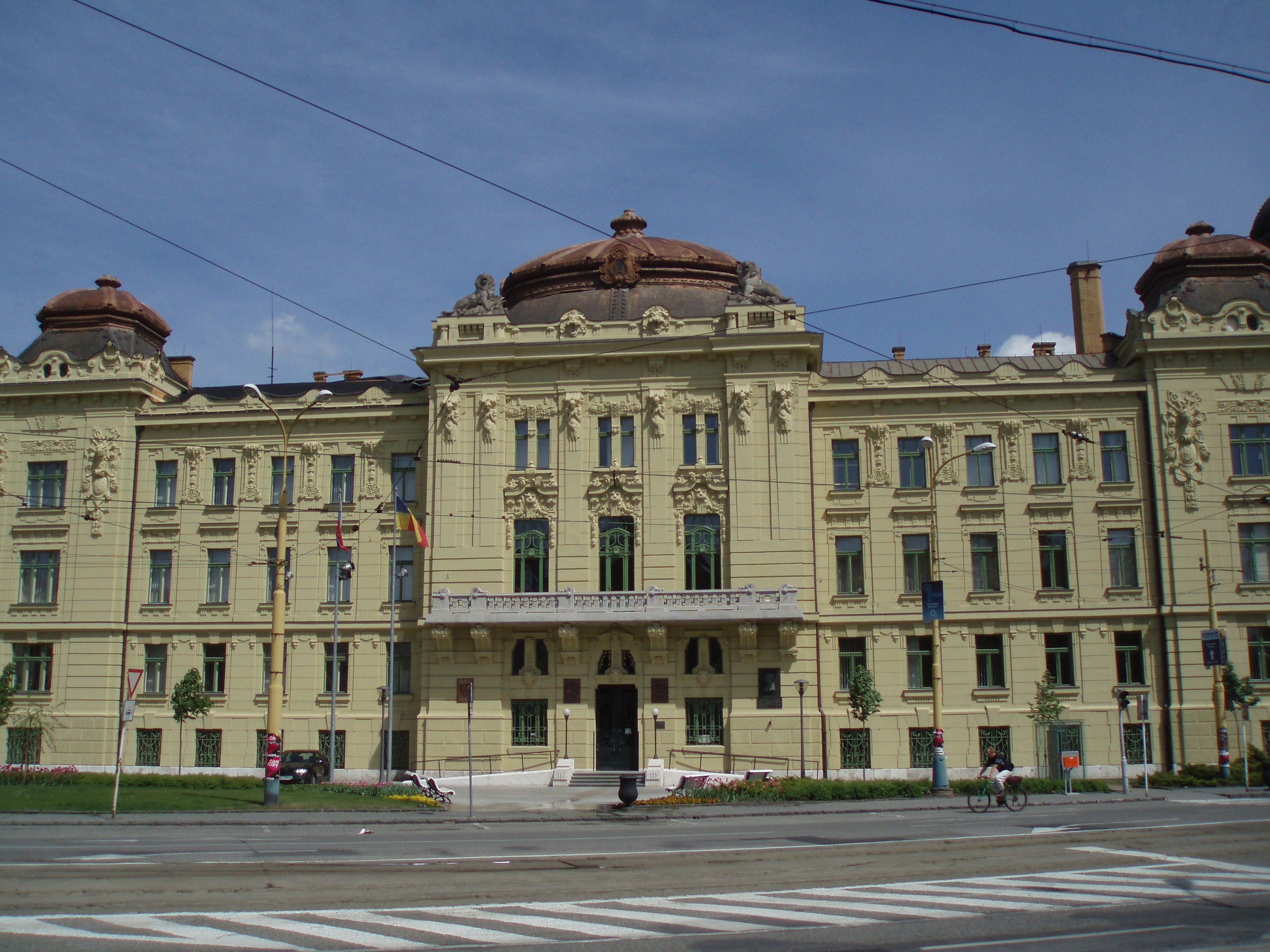
Smižany ( hu, Szepessümeg, german: Schmögen) is a large village and municipality in the Spišská Nová Ves District in the Košice Region of central-eastern Slovakia. History Excavations in Čingov, just south of the village, have found traces of Stone Age settlement. The village was settled by German settlers in 1242. There is a Romanesque church of the 13th century. Geography The village lies at an altitude of 485 metres and covers an area of 45.704 km². In 2011 had a population of 8698 inhabitants and is the largest municipality without a town status in Slovakia. Twin towns — sister cities Smižany is twinned with: * Borsodnádasd, Hungary * Kamienica, Poland * Komorniki Komorniki is a village in Poland, located in Greater Poland Voivodeship, Poznań County, Gmina Komorniki (Poznań metropolitan area), with approximately 5,500 inhabitants. The gmina (municipality) of Komorniki, including the village of Komornik ..., Poland References External links Mu ... [...More Info...] [...Related Items...] OR: [Wikipedia] [Google] [Baidu] |
Spišská Nová Ves District
Spišská Nová Ves District ( sk, okres Spišská Nová Ves) is a Districts of Slovakia, district in the Košice Region of eastern Slovakia. The district in its present borders was established in 1996. Administrative, economic and cultural center is its seat Spišská Nová Ves. The district borders Gelnica District and Rožňava District in the south and Poprad District, Prešov District and Levoča District in the north. Municipalities *Arnutovce *Betlanovce *Bystrany (Slovakia), Bystrany *Danišovce *Harichovce *Hincovce *Hnilčík *Hnilec (village), Hnilec *Hrabušice *Chrasť nad Hornádom *Iliašovce *Jamník, Spišská Nová Ves, Jamník *Kaľava *Kolinovce *Krompachy *Letanovce *Lieskovany *Markušovce *Matejovce *Mlynky *Odorín *Olcnava *Oľšavka, Spišská Nová Ves District, Oľšavka *Poráč *Rudňany *Slatvina *Slovinky *Smižany *Spišská Nová Ves, Spišsska Nová Ves (head) *Spišské Tomášovce *Spišské Vlachy *Spišský Hrušov *Teplička, Spišská Nová ... [...More Info...] [...Related Items...] OR: [Wikipedia] [Google] [Baidu] |
Košice Region
The Košice Region ( sk, Košický kraj, , hu, Kassai kerület; uk, Кошицький край) is one of the eight Slovak administrative regions. The region was first established in 1923 and its present borders were established in 1996. It consists of 11 districts ( okresy) and 440 municipalities, 17 of which have a town status. About one third of the region's population lives in the agglomeration of Košice, which is its main economic and cultural centre. Geography It is located in the southern part of eastern Slovakia and covers an area of 6,752 km2. The western part of the region is composed of the eastern part of the Slovak Ore Mountains, including its subdivisions: Slovak Karst, Slovak Paradise, Volovské vrchy, Čierna hora. The Hornád Basin is located in the northwest. The area between Slovak Ore Mountains and Slanské vrchy is covered by the Košice Basin, named after the city. The area east of Slanské vrchy is covered by the Eastern Slovak Lowland and th ... [...More Info...] [...Related Items...] OR: [Wikipedia] [Google] [Baidu] |
Slovak Car Registration Plates
Vehicles registered in Slovakia are generally assigned to one of the districts ('' okres'') and since 1997, the licence plate coding ( sk, EČV, evidenčné číslo vozidla) generally consists of seven characters and takes the form XX-NNNLL, where XX is a two letter code corresponding to the district, NNN is three digit number and LL are two letters (assigned alphabetically). Appearance There are three design varieties that are in valid use. * Between 1 April 1997 and 30 April 2004, the plates contained the Coat of Arms of Slovakia in the top left corner and the country code SK in the bottom left. The two district identifiers were separated from the serials by a dash. * On 1 May 2004, Slovakia joined the European Union. In order to harmonise the visual look of the plates with the rest of the EU, the Slovak Coat of Arms was replaced by the so-called euroband, a vertical blue bar with representing the Flag of the EU. The country code SK was inserted into the euroband. The number 0 ... [...More Info...] [...Related Items...] OR: [Wikipedia] [Google] [Baidu] |
Village
A village is a clustered human settlement or community, larger than a hamlet but smaller than a town (although the word is often used to describe both hamlets and smaller towns), with a population typically ranging from a few hundred to a few thousand. Though villages are often located in rural areas, the term urban village is also applied to certain urban neighborhoods. Villages are normally permanent, with fixed dwellings; however, transient villages can occur. Further, the dwellings of a village are fairly close to one another, not scattered broadly over the landscape, as a dispersed settlement. In the past, villages were a usual form of community for societies that practice subsistence agriculture, and also for some non-agricultural societies. In Great Britain, a hamlet earned the right to be called a village when it built a church. [...More Info...] [...Related Items...] OR: [Wikipedia] [Google] [Baidu] |
Municipality
A municipality is usually a single administrative division having corporate status and powers of self-government or jurisdiction as granted by national and regional laws to which it is subordinate. The term ''municipality'' may also mean the governing body of a given municipality. A municipality is a general-purpose administrative subdivision, as opposed to a special-purpose district. The term is derived from French and Latin . The English word ''municipality'' derives from the Latin social contract (derived from a word meaning "duty holders"), referring to the Latin communities that supplied Rome with troops in exchange for their own incorporation into the Roman state (granting Roman citizenship to the inhabitants) while permitting the communities to retain their own local governments (a limited autonomy). A municipality can be any political jurisdiction, from a sovereign state such as the Principality of Monaco, to a small village such as West Hampton Dunes, New York. Th ... [...More Info...] [...Related Items...] OR: [Wikipedia] [Google] [Baidu] |
Slovakia
Slovakia (; sk, Slovensko ), officially the Slovak Republic ( sk, Slovenská republika, links=no ), is a landlocked country in Central Europe. It is bordered by Poland to the north, Ukraine to the east, Hungary to the south, Austria to the southwest, and the Czech Republic to the northwest. Slovakia's mostly mountainous territory spans about , with a population of over 5.4 million. The capital and largest city is Bratislava, while the second largest city is Košice. The Slavs arrived in the territory of present-day Slovakia in the fifth and sixth centuries. In the seventh century, they played a significant role in the creation of Samo's Empire. In the ninth century, they established the Principality of Nitra, which was later conquered by the Principality of Moravia to establish Great Moravia. In the 10th century, after the dissolution of Great Moravia, the territory was integrated into the Principality of Hungary, which then became the Kingdom of Hungary in 1000. In 1241 a ... [...More Info...] [...Related Items...] OR: [Wikipedia] [Google] [Baidu] |
Stone Age
The Stone Age was a broad prehistoric period during which stone was widely used to make tools with an edge, a point, or a percussion surface. The period lasted for roughly 3.4 million years, and ended between 4,000 BC and 2,000 BC, with the advent of metalworking. Though some simple metalworking of malleable metals, particularly the use of gold and copper for purposes of ornamentation, was known in the Stone Age, it is the melting and smelting of copper that marks the end of the Stone Age. In Western Asia, this occurred by about 3,000 BC, when bronze became widespread. The term Bronze Age is used to describe the period that followed the Stone Age, as well as to describe cultures that had developed techniques and technologies for working copper alloys (bronze: originally copper and arsenic, later copper and tin) into tools, supplanting stone in many uses. Stone Age artifacts that have been discovered include tools used by modern humans, by their predecessor species in the ... [...More Info...] [...Related Items...] OR: [Wikipedia] [Google] [Baidu] |
German People
, native_name_lang = de , region1 = , pop1 = 72,650,269 , region2 = , pop2 = 534,000 , region3 = , pop3 = 157,000 3,322,405 , region4 = , pop4 = 21,000 3,000,000 , region5 = , pop5 = 125,000 982,226 , region6 = , pop6 = 900,000 , region7 = , pop7 = 142,000 840,000 , region8 = , pop8 = 9,000 500,000 , region9 = , pop9 = 357,000 , region10 = , pop10 = 310,000 , region11 = , pop11 = 36,000 250,000 , region12 = , pop12 = 25,000 200,000 , region13 = , pop13 = 233,000 , region14 = , pop14 = 211,000 , region15 = , pop15 = 203,000 , region16 = , pop16 = 201,000 , region17 = , pop17 = 101,000 148,00 ... [...More Info...] [...Related Items...] OR: [Wikipedia] [Google] [Baidu] |
Romanesque Architecture
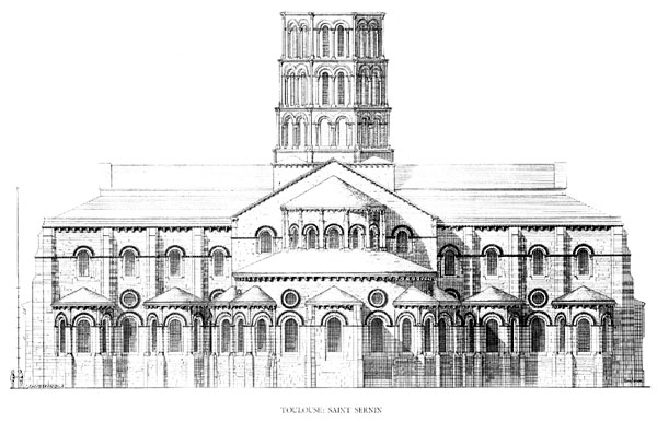
Romanesque architecture is an architectural style of medieval Europe characterized by semi-circular arches. There is no consensus for the beginning date of the Romanesque style, with proposals ranging from the 6th to the 11th century, this later date being the most commonly held. In the 12th century it developed into the Gothic style, marked by pointed arches. Examples of Romanesque architecture can be found across the continent, making it the first pan-European architectural style since Imperial Roman architecture. The Romanesque style in England and Sicily is traditionally referred to as Norman architecture. Combining features of ancient Roman and Byzantine buildings and other local traditions, Romanesque architecture is known by its massive quality, thick walls, round arches, sturdy pillars, barrel vaults, large towers and decorative arcading. Each building has clearly defined forms, frequently of very regular, symmetrical plan; the overall appearance is one of simplic ... [...More Info...] [...Related Items...] OR: [Wikipedia] [Google] [Baidu] |
Altitude
Altitude or height (also sometimes known as depth) is a distance measurement, usually in the vertical or "up" direction, between a reference datum and a point or object. The exact definition and reference datum varies according to the context (e.g., aviation, geometry, geographical survey, sport, or atmospheric pressure). Although the term ''altitude'' is commonly used to mean the height above sea level of a location, in geography the term elevation is often preferred for this usage. Vertical distance measurements in the "down" direction are commonly referred to as depth. In aviation In aviation, the term altitude can have several meanings, and is always qualified by explicitly adding a modifier (e.g. "true altitude"), or implicitly through the context of the communication. Parties exchanging altitude information must be clear which definition is being used. Aviation altitude is measured using either mean sea level (MSL) or local ground level (above ground level, or ... [...More Info...] [...Related Items...] OR: [Wikipedia] [Google] [Baidu] |
Area
Area is the quantity that expresses the extent of a region on the plane or on a curved surface. The area of a plane region or ''plane area'' refers to the area of a shape A shape or figure is a graphics, graphical representation of an object or its external boundary, outline, or external Surface (mathematics), surface, as opposed to other properties such as color, Surface texture, texture, or material type. A pl ... or planar lamina, while ''surface area'' refers to the area of an open surface or the boundary (mathematics), boundary of a solid geometry, three-dimensional object. Area can be understood as the amount of material with a given thickness that would be necessary to fashion a model of the shape, or the amount of paint necessary to cover the surface with a single coat. It is the two-dimensional analogue of the length of a plane curve, curve (a one-dimensional concept) or the volume of a solid (a three-dimensional concept). The area of a shape can be measured by com ... [...More Info...] [...Related Items...] OR: [Wikipedia] [Google] [Baidu] |
Population
Population typically refers to the number of people in a single area, whether it be a city or town, region, country, continent, or the world. Governments typically quantify the size of the resident population within their jurisdiction using a census, a process of collecting, analysing, compiling, and publishing data regarding a population. Perspectives of various disciplines Social sciences In sociology and population geography, population refers to a group of human beings with some predefined criterion in common, such as location, race, ethnicity, nationality, or religion. Demography is a social science which entails the statistical study of populations. Ecology In ecology, a population is a group of organisms of the same species who inhabit the same particular geographical area and are capable of interbreeding. The area of a sexual population is the area where inter-breeding is possible between any pair within the area and more probable than cross-breeding with in ... [...More Info...] [...Related Items...] OR: [Wikipedia] [Google] [Baidu] |


