|
Houari Boumedienne Airport
Houari Boumediene International Airport ( ar, مطار هواري بومدين الدولي, Maṭār Hawwārī Būmadyan al-Duwaliyy) , also known as Algiers Airport or Algiers International Airport, is the main international airport serving Algiers, the capital of Algeria. It is located east southeast of the city. The airport is named after Houari Boumediene (1932–1978), a former president of Algeria. Dar El Beïda, the area at which the airport is located, was known as ''Maison Blanche'' (White House), and the airport is called Maison Blanche Airport in much of the literature about the Algerian War of Independence. The ''Société de Gestion des Services et Infrastructures Aéroportuaires'' (SGSIA), more commonly known as "Airport of Algiers", is a Public Company established on 1 November 2006 to manage and operate the airport. The SGSIA has 2,100 employees. History The airport was created in 1924 and named Maison Blanche Airport. During World War II, Maison Blanche Air ... [...More Info...] [...Related Items...] OR: [Wikipedia] [Google] [Baidu] |
EGSA Alger
EGSA Alger or EGSA/Alger ( ar, مؤسسة تسيير مصالح مطارات الجزائر, french: Etablissement de Gestion de Services Aéroportuaires d’Alger, which translates into English as: Airport Management Services Establishment of Algeria) is a government agency which operates 18 airports in Algeria. EGSA Alger was created by presidential decree No. 173–87 on 11 August 1987. Under the supervision of the Algerian Ministry of Transportation, its mission is to manage, develop and operate Algerian airports open to public air traffic. It operates the following airports: # Algiers – Houari Boumediene Airport # Bejaia – Soummam Abane Ramdane Airport # Hassi-Messaoud – Oued Irara Airport # Ghardaïa – Noumerate Moufdi Zakaria Airport # Tamanrasset – Aguenar - Hadj Bey Akhamokh Airport # Ouargla – Ain Beida Airport # In-Amenas – Zarzaitine Airport # In Guezzam – In Guezzam Airport # In Salah – Tafsaout Airport # ... [...More Info...] [...Related Items...] OR: [Wikipedia] [Google] [Baidu] |
Hawker Hurricane
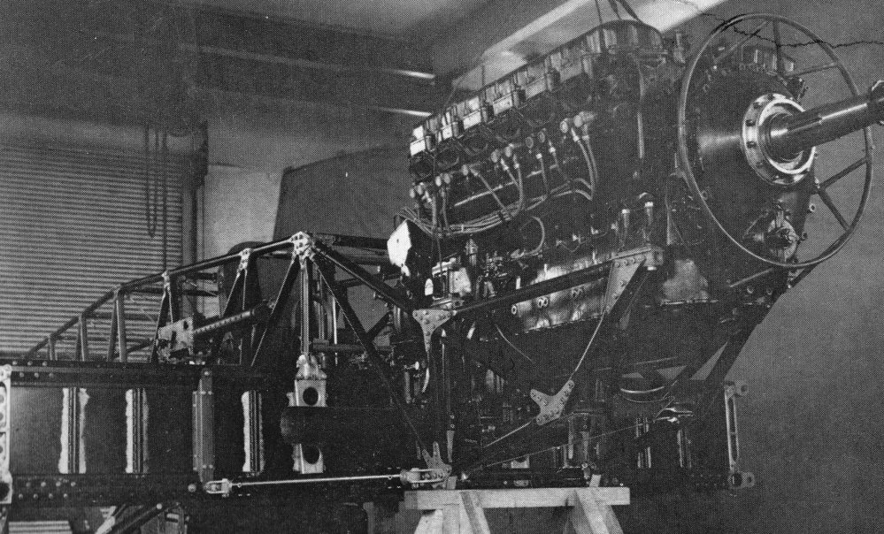
The Hawker Hurricane is a British single-seat fighter aircraft of the 1930s–40s which was designed and predominantly built by Hawker Aircraft Ltd. for service with the Royal Air Force (RAF). It was overshadowed in the public consciousness by the Supermarine Spitfire during the Battle of Britain in 1940, but the Hurricane inflicted 60 percent of the losses sustained by the Luftwaffe in the campaign, and fought in all the major theatres of the Second World War. The Hurricane originated from discussions between RAF officials and aircraft designer Sir Sydney Camm about a proposed monoplane derivative of the Hawker Fury biplane in the early 1930s. Despite an institutional preference for biplanes and lack of interest by the Air Ministry, Hawker refined their monoplane proposal, incorporating several innovations which became critical to wartime fighter aircraft, including retractable landing gear and the more powerful Rolls-Royce Merlin engine. The Air Ministry ordered Hawker's ''Int ... [...More Info...] [...Related Items...] OR: [Wikipedia] [Google] [Baidu] |
Palermo
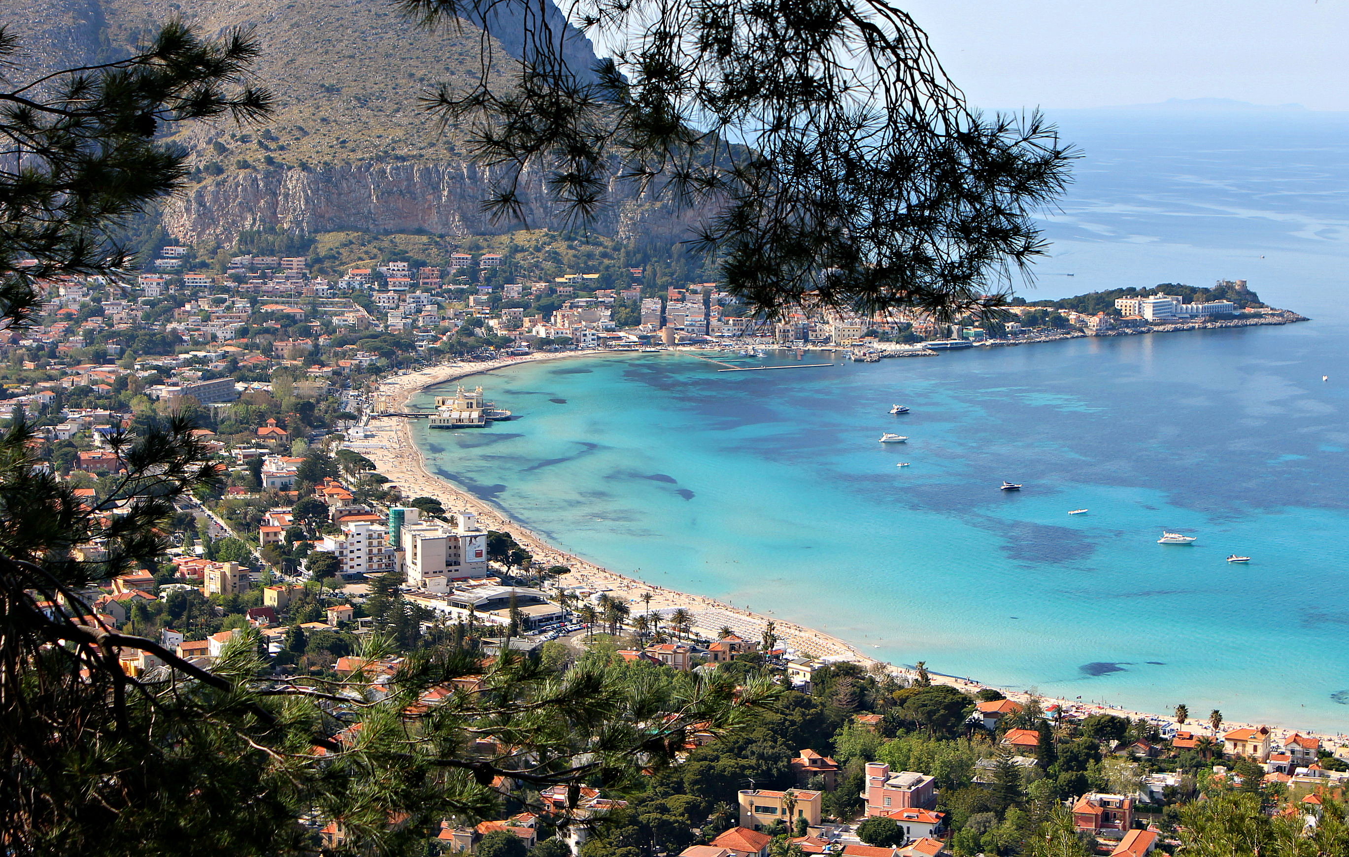
Palermo ( , ; scn, Palermu , locally also or ) is a city in southern Italy, the capital (political), capital of both the autonomous area, autonomous region of Sicily and the Metropolitan City of Palermo, the city's surrounding metropolitan province. The city is noted for its history, culture, architecture and gastronomy, playing an important role throughout much of its existence; it is over 2,700 years old. Palermo is in the northwest of the island of Sicily, by the Gulf of Palermo in the Tyrrhenian Sea. The city was founded in 734 BC by the Phoenicians as ("flower"). Palermo then became a possession of Carthage. Two ancient Greeks, Greek ancient Greek colonization, colonies were established, known collectively as ; the Carthaginians used this name on their coins after the 5th centuryBC. As , the town became part of the Roman Republic and Roman Empire, Empire for over a thousand years. From 831 to 1072 the city was under History of Islam in southern Italy, Arab ru ... [...More Info...] [...Related Items...] OR: [Wikipedia] [Google] [Baidu] |
Naples International Airport
Naples International Airport ( it, Aeroporto Internazionale di Napoli) is the intercontinental airport serving Naples and the Southern Italian region of Campania. According to 2019 data, the airport is the fifth-busiest airport in Italy and the busiest in Southern Italy. The airport serves as a base for easyJet, Ryanair, Volotea and Wizzair. Located north-northeast of the city in the San Pietro a Patierno quarter of Naples, the airport is officially named ''Aeroporto di Napoli-Capodichino Ugo Niutta'', after decorated WWI pilot Ugo Niutta. History The district of Capodichino – in the area known as "Campo di Marte" – hosted the first flight exhibitions in Naples in 1910. During the First World War, "Campo di Marte" became a military airport in order to defend the town against Austro-Hungarian and German air attacks. During World War II, it was used as a combat airfield by the United States Army Air Forces and the Royal Air Force extensively during the Italian Campai ... [...More Info...] [...Related Items...] OR: [Wikipedia] [Google] [Baidu] |
Marseille
Marseille ( , , ; also spelled in English as Marseilles; oc, Marselha ) is the prefecture of the French department of Bouches-du-Rhône and capital of the Provence-Alpes-Côte d'Azur region. Situated in the camargue region of southern France, it is located on the coast of the Gulf of Lion, part of the Mediterranean Sea, near the mouth of the Rhône river. Its inhabitants are called ''Marseillais''. Marseille is the second most populous city in France, with 870,731 inhabitants in 2019 (Jan. census) over a municipal territory of . Together with its suburbs and exurbs, the Marseille metropolitan area, which extends over , had a population of 1,873,270 at the Jan. 2019 census, the third most populated in France after those of Paris and Lyon. The cities of Marseille, Aix-en-Provence, and 90 suburban municipalities have formed since 2016 the Aix-Marseille-Provence Metropolis, an Indirect election, indirectly elected Métropole, metropolitan authority now in charge of wider metropo ... [...More Info...] [...Related Items...] OR: [Wikipedia] [Google] [Baidu] |
Dakar
Dakar ( ; ; wo, Ndakaaru) (from daqaar ''tamarind''), is the capital and largest city of Senegal. The city of Dakar proper has a population of 1,030,594, whereas the population of the Dakar metropolitan area is estimated at 3.94 million in 2021. The area around Dakar was settled in the 15th century. The Portuguese established a presence on the island of Gorée off the coast of Cap-Vert and used it as a base for the Atlantic slave trade. France took over the island in 1677. Following the abolition of the slave trade and French annexation of the mainland area in the 19th century, Dakar grew into a major regional port and a major city of the French colonial empire. In 1902, Dakar replaced Saint-Louis as the capital of French West Africa. From 1959 to 1960, Dakar was the capital of the short-lived Mali Federation. In 1960, it became the capital of the independent Republic of Senegal. History The Cap-Vert peninsula was settled no later than the 15th century, by the Lebu peop ... [...More Info...] [...Related Items...] OR: [Wikipedia] [Google] [Baidu] |
Cairo
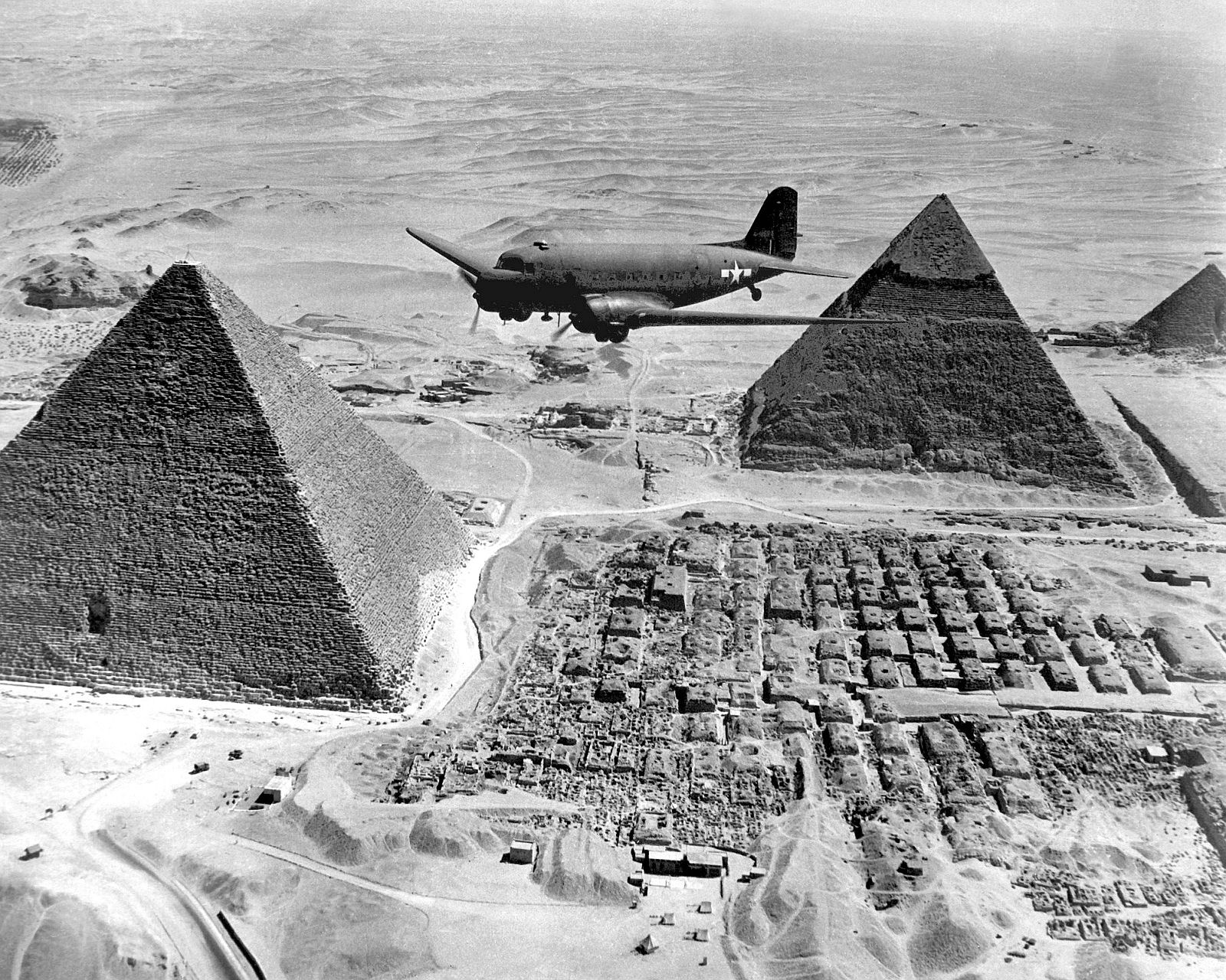
Cairo ( ; ar, القاهرة, al-Qāhirah, ) is the capital of Egypt and its largest city, home to 10 million people. It is also part of the largest urban agglomeration in Africa, the Arab world and the Middle East: The Greater Cairo metropolitan area, with a population of 21.9 million, is the 12th-largest in the world by population. Cairo is associated with ancient Egypt, as the Giza pyramid complex and the ancient cities of Memphis and Heliopolis are located in its geographical area. Located near the Nile Delta, the city first developed as Fustat, a settlement founded after the Muslim conquest of Egypt in 640 next to an existing ancient Roman fortress, Babylon. Under the Fatimid dynasty a new city, ''al-Qāhirah'', was founded nearby in 969. It later superseded Fustat as the main urban centre during the Ayyubid and Mamluk periods (12th–16th centuries). Cairo has long been a centre of the region's political and cultural life, and is titled "the city of a thousand m ... [...More Info...] [...Related Items...] OR: [Wikipedia] [Google] [Baidu] |
Tunisia
) , image_map = Tunisia location (orthographic projection).svg , map_caption = Location of Tunisia in northern Africa , image_map2 = , capital = Tunis , largest_city = capital , coordinates = , official_languages = Arabic Translation by the University of Bern: "Tunisia is a free State, independent and sovereign; its religion is the Islam, its language is Arabic, and its form is the Republic." , religion = , languages_type = Spoken languages , languages = Minority Dialects : Jerba Berber (Chelha) Matmata Berber Judeo-Tunisian Arabic (UNESCO CR) , languages2_type = Foreign languages , languages2 = , ethnic_groups = * 98% Arab * 2% Other , demonym = Tunisian , government_type = Unitary presidential republic , leader_title1 = President , leader_name1 = Kais Saied , leader_ti ... [...More Info...] [...Related Items...] OR: [Wikipedia] [Google] [Baidu] |
Tunis Airport
''Tounsi'' french: Tunisois , population_note = , population_urban = , population_metro = 2658816 , population_density_km2 = , timezone1 = CET , utc_offset1 = +01:00 , timezone1_DST = , utc_offset1_DST = , postal_code_type = Postal code , postal_code = 1xxx, 2xxx , area_code_type = Calling code , area_code = 71 , iso_code = TN-11, TN-12, TN-13 and TN-14 , blank_name_sec2 = geoTLD , blank_info_sec2 = .tn , website = , footnotes = Tunis ( ar, تونس ') is the capital and largest city of Tunisia. The greater metropolitan area of Tunis, often referred to as " Grand Tunis", has about 2,700,000 inhabitants. , it is the third-largest city in the Maghreb r ... [...More Info...] [...Related Items...] OR: [Wikipedia] [Google] [Baidu] |
Oran
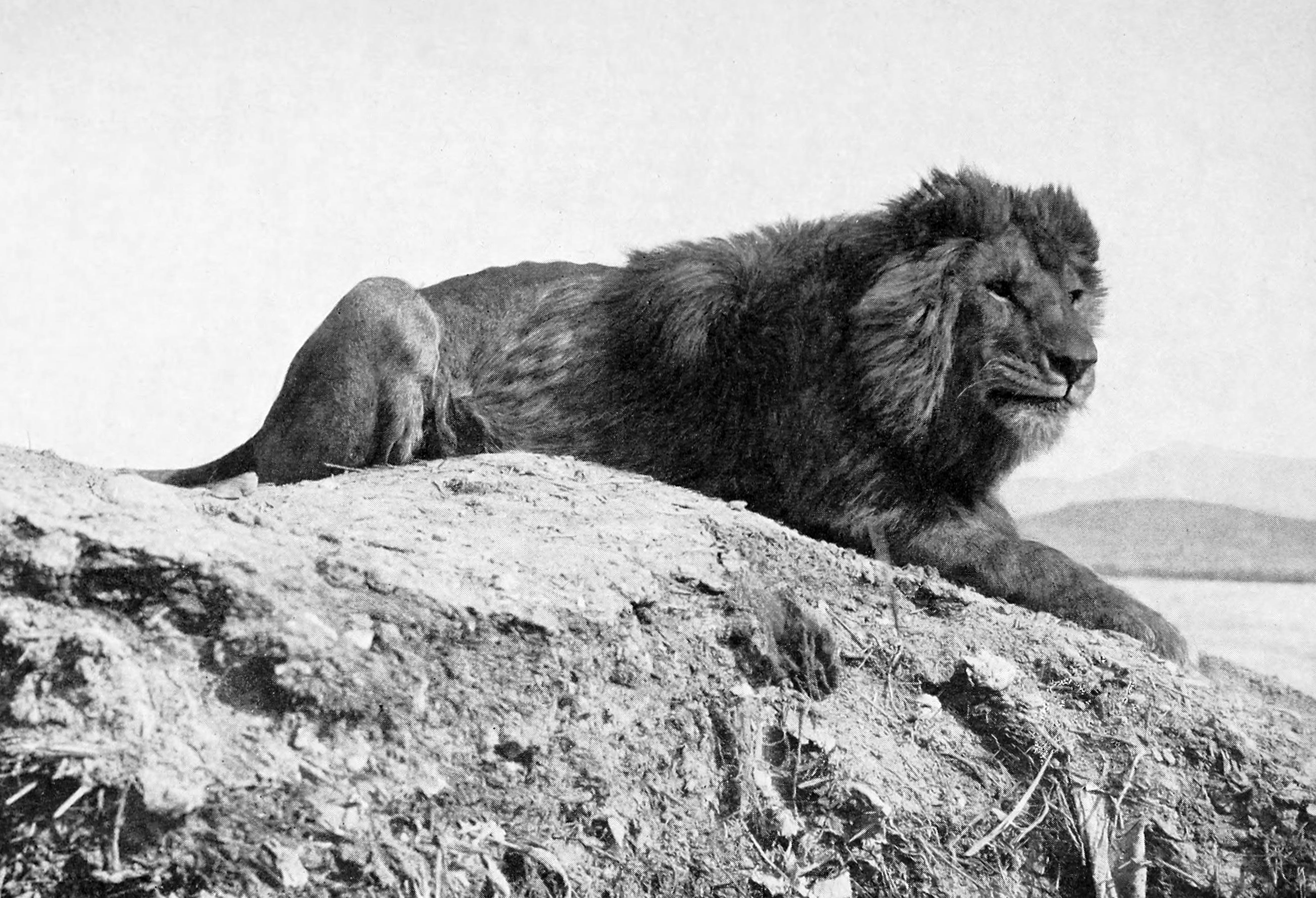
Oran ( ar, وَهران, Wahrān) is a major coastal city located in the north-west of Algeria. It is considered the second most important city of Algeria after the capital Algiers, due to its population and commercial, industrial, and cultural importance. It is west-south-west from Algiers. The total population of the city was 803,329 in 2008, while the metropolitan area has a population of approximately 1,500,000 making it the second-largest city in Algeria. Etymology The word ''Wahran'' comes from the Berber expression ''wa - iharan'' (place of lions). A locally popular legend tells that in the period around AD 900, there were sightings of Barbary lion, Barbary lions in the area. The last two lions were killed on a mountain near Oran, and it became known as ''la montagne des lions'' ("The Mountain of Lions"). Two giant lion statues stand in front of Oran's city hall, symbolizing the city. History Overview During the Roman Empire, a small settlement called ''Unica Colonia'' ... [...More Info...] [...Related Items...] OR: [Wikipedia] [Google] [Baidu] |
Tafarquay Airport
Ahmed Ben Bella Airport ( ar, مطار أحمد بن بلة), formally Es-Sénia Airport is an airport located 4.7 nm (8.7 km) south of Oran (near Es Sénia), in Algeria. History During World War II, La Sénia Airport was first used by the French Air Force as a military airfield, first by the Armée de l'Air, and after June 1940, by the Armistice Air Force (french: link=no, Armée de l'Air de Vichy) of the Vichy government. During the Operation Torch landings in 1942, La Sénia was one of the primary objectives of the assault on Oran on 9 November. A paratroop task force was to be directly seize La Sénia, with an armored task force to thrust inland to insure the capture of the field. Just after daylight, eight Albacore dive bombers from H.M.S. ''Furious'' and six Hurricane fighter escorts from each of the two auxiliary carriers swung back over La Sénia airfield in broad daylight to be greeted by strong antiaircraft fire and Vichy fighters. The airfield was attacked in r ... [...More Info...] [...Related Items...] OR: [Wikipedia] [Google] [Baidu] |
Air Transport Command (United States Air Force)
Air Transport Command (ATC) was a United States Air Force unit that was created during World War II as the strategic airlift component of the United States Army Air Forces. It had two main missions, the first being the delivery of supplies and equipment between the United States and the overseas combat theaters; the second was the ferrying of aircraft from the manufacturing plants in the United States to where they were needed for training or for operational use in combat. ATC also operated a worldwide air transportation system for military personnel. Inactivated on 1 June 1948, Air Transport Command was the precursor to what became the Military Air Transport Service in 1948 and was redesignated Military Airlift Command (MAC) in 1966. It was consolidated with MAC in 1982, providing a continuous history of long range airlift through 1992 when the mission was transferred to today's Air Mobility Command. History By no means least among the achievements of the Army Air Forces ... [...More Info...] [...Related Items...] OR: [Wikipedia] [Google] [Baidu] |


.jpg)


