|
Birket Foster
Myles Birket Foster (4 February 1825 – 27 March 1899) was a British illustrator, watercolourist and engraver in the Victorian period. His name is also to be found as Myles Birkett Foster. Life and work Foster was born in North Shields, England of a primarily Quaker family, but his family moved south to London in 1830, where his father founded M. B. Foster & sons — a successful beer-bottling company. He was schooled at Hitchin, HertfordshireThe Times Wednesday 29 March 1899 and on leaving initially went into his father's business. However, noticing his talent for art, his father secured an apprenticeship with the wood-engraver, Ebenezer Landells, where he worked on illustrations for ''Punch'' magazine and the ''Illustrated London News''. Foster's boss was one of the founders of Punch, and for him was tasked to make and draw woodcuts, which were crafted with great finesse. Rural scenes taken from travels with his brother and friend Edmund Evans, could be supplemente ... [...More Info...] [...Related Items...] OR: [Wikipedia] [Google] [Baidu] |
Myles Birket Foster By Elliott & Fry 1860s (cropped)
In Greek mythology, Myles (; Ancient Greek: Μύλης means 'mill-man') was an ancient king of Laconia. He was the son of the King Lelex and possibly the naiad Queen Cleocharia, and brother of Polycaon. Myles was the father of Eurotas who begotten Sparta Sparta ( Doric Greek: Σπάρτα, ''Spártā''; Attic Greek: Σπάρτη, ''Spártē'') was a prominent city-state in Laconia, in ancient Greece. In antiquity, the city-state was known as Lacedaemon (, ), while the name Sparta referre ... after whom the city of Sparta was named. Mythology After Lelex's death, Myles ruled over Laconia, and later on, following his own death, his son Eurotas succeeded him. Myles was said to be the first mortal to invent a mill and ground corn in Alesiae. References {{Greek-myth-stub Princes in Greek mythology Mythological kings of Laconia Kings in Greek mythology Laconian characters in Greek mythology Characters in Greek mythology Laconian mythology ... [...More Info...] [...Related Items...] OR: [Wikipedia] [Google] [Baidu] |
Watercolours
Watercolor (American English) or watercolour (British English; see spelling differences), also ''aquarelle'' (; from Italian diminutive of Latin ''aqua'' "water"), is a painting method”Watercolor may be as old as art itself, going back to the Stone Age when early ancestors combined earth and charcoal with water to create the first wet-on-dry picture on a cave wall." London, Vladimir. The Book on Watercolor (p. 19). in which the paints are made of pigments suspended in a water-based solution. ''Watercolor'' refers to both the medium and the resulting artwork. Aquarelles painted with water-soluble colored ink instead of modern water colors are called ''aquarellum atramento'' (Latin for "aquarelle made with ink") by experts. However, this term has now tended to pass out of use. The conventional and most common ''support''—material to which the paint is applied—for watercolor paintings is watercolor paper. Other supports or substrates include stone, ivory, silk, reed, papyr ... [...More Info...] [...Related Items...] OR: [Wikipedia] [Google] [Baidu] |
Surrey
Surrey () is a ceremonial and non-metropolitan county in South East England, bordering Greater London to the south west. Surrey has a large rural area, and several significant urban areas which form part of the Greater London Built-up Area. With a population of approximately 1.2 million people, Surrey is the 12th-most populous county in England. The most populated town in Surrey is Woking, followed by Guildford. The county is divided into eleven districts with borough status. Between 1893 and 2020, Surrey County Council was headquartered at County Hall, Kingston-upon-Thames (now part of Greater London) but is now based at Woodhatch Place, Reigate. In the 20th century several alterations were made to Surrey's borders, with territory ceded to Greater London upon its creation and some gained from the abolition of Middlesex. Surrey is bordered by Greater London to the north east, Kent to the east, Berkshire to the north west, West Sussex to the south, East Sussex to ... [...More Info...] [...Related Items...] OR: [Wikipedia] [Google] [Baidu] |
Godalming
Godalming is a market town and civil parish in southwest Surrey, England, around southwest of central London. It is in the Borough of Waverley, at the confluence of the Rivers Wey and Ock. The civil parish covers and includes the settlements of Farncombe, Binscombe and Holloway Hill. Much of the area lies on the strata of the Lower Greensand Group and Bargate stone was quarried locally until the Second World War. The earliest evidence of human activity is from the Paleolithic and the River Wey floodplain at Charterhouse was settled in the middle Iron Age and Roman period. The modern town is thought to have its origins in the 6th or early 7th centuries and its name is thought to derive from that of a Saxon landowner. Kersey, a woollen cloth, dyed blue, was produced at Godalming for much of the Middle Ages, but the industry declined in the early modern period. In the 17th century, the town began to specialise in the production of knitted textiles and in the manufactur ... [...More Info...] [...Related Items...] OR: [Wikipedia] [Google] [Baidu] |
Witley
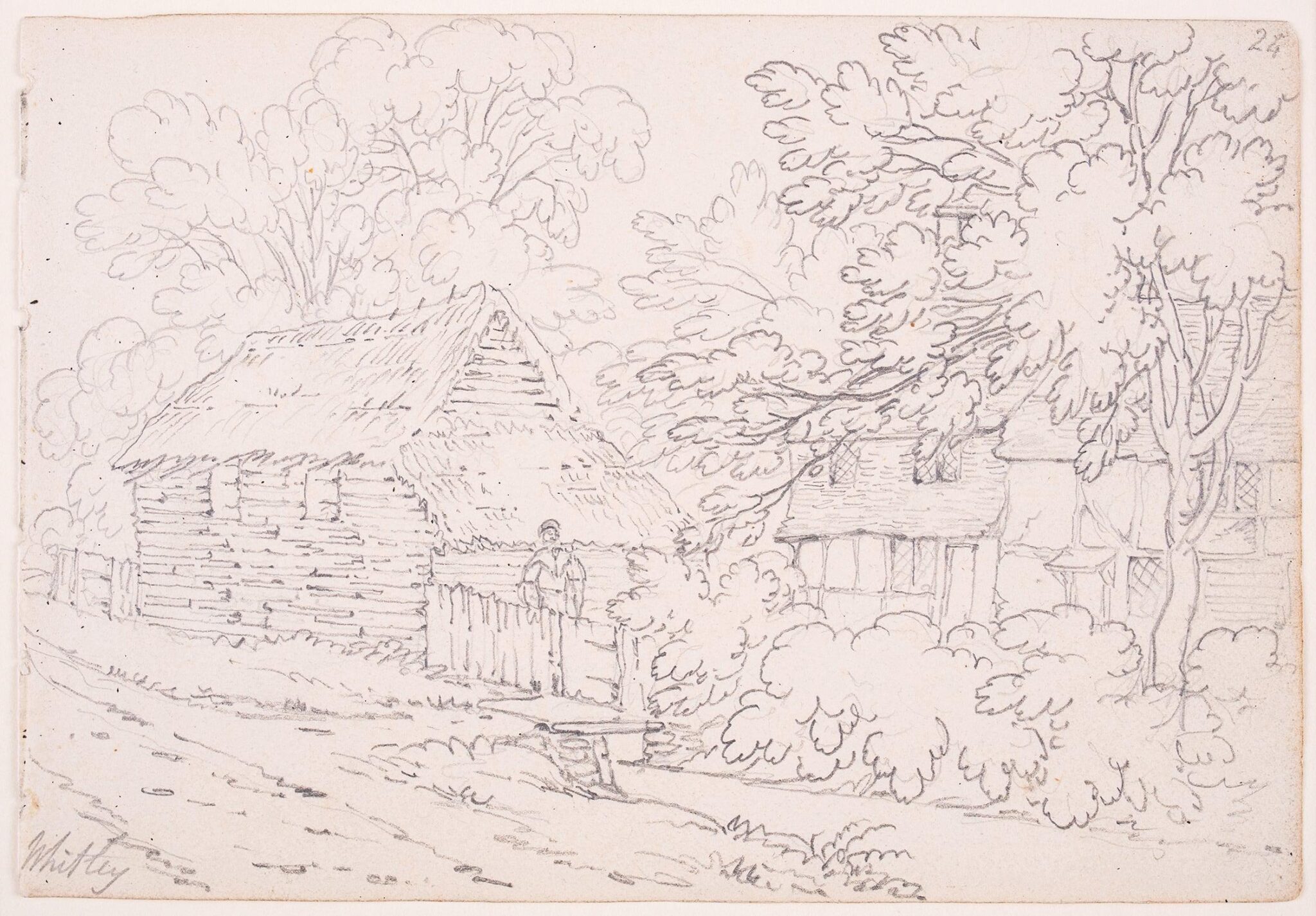
Witley is a village and civil parish in the Borough of Waverley in Surrey, England centred south west of the town of Godalming and southwest of Guildford. The land is a mixture of rural (ranging from woodland protected by the Surrey Hills AONB including a small part of the forested Greensand Ridge to cultivated fields) contrasting with elements more closely resembling a suburban satellite village. As a civil parish it is unusual in that it includes the small town of Milford in the north. Occupying its hills in the south-west are Sandhills and Brook. Witley Common is a wide expanse of land, owned by the National Trust, crossed by the A3 road. The village is served by two stations on the Portsmouth Direct Line: Witley station, to the south in nearby Wormley, and, to the north, Milford station, which is more or less equidistant between Milford and Witley. Its church dates to the pre-Norman Conquest period of the Kingdom of England. The village has the private sector, bu ... [...More Info...] [...Related Items...] OR: [Wikipedia] [Google] [Baidu] |
Venice
Venice ( ; it, Venezia ; vec, Venesia or ) is a city in northeastern Italy and the capital of the Veneto Regions of Italy, region. It is built on a group of 118 small islands that are separated by canals and linked by over 400 bridges. The islands are in the shallow Venetian Lagoon, an enclosed bay lying between the mouths of the Po River, Po and the Piave River, Piave rivers (more exactly between the Brenta (river), Brenta and the Sile (river), Sile). In 2020, around 258,685 people resided in greater Venice or the ''Comune di Venezia'', of whom around 55,000 live in the historical island city of Venice (''centro storico'') and the rest on the mainland (''terraferma''). Together with the cities of Padua, Italy, Padua and Treviso, Italy, Treviso, Venice is included in the Padua-Treviso-Venice Metropolitan Area (PATREVE), which is considered a statistical metropolitan area, with a total population of 2.6 million. The name is derived from the ancient Adri ... [...More Info...] [...Related Items...] OR: [Wikipedia] [Google] [Baidu] |
Italy
Italy ( it, Italia ), officially the Italian Republic, ) or the Republic of Italy, is a country in Southern Europe. It is located in the middle of the Mediterranean Sea, and its territory largely coincides with the homonymous geographical region. Italy is also considered part of Western Europe, and shares land borders with France, Switzerland, Austria, Slovenia and the enclaved microstates of Vatican City and San Marino. It has a territorial exclave in Switzerland, Campione. Italy covers an area of , with a population of over 60 million. It is the third-most populous member state of the European Union, the sixth-most populous country in Europe, and the tenth-largest country in the continent by land area. Italy's capital and largest city is Rome. Italy was the native place of many civilizations such as the Italic peoples and the Etruscans, while due to its central geographic location in Southern Europe and the Mediterranean, the country has also historically been home ... [...More Info...] [...Related Items...] OR: [Wikipedia] [Google] [Baidu] |
Switzerland
). Swiss law does not designate a ''capital'' as such, but the federal parliament and government are installed in Bern, while other federal institutions, such as the federal courts, are in other cities (Bellinzona, Lausanne, Luzern, Neuchâtel, St. Gallen a.o.). , coordinates = , largest_city = Zürich , official_languages = , englishmotto = "One for all, all for one" , religion_year = 2020 , religion_ref = , religion = , demonym = , german: Schweizer/Schweizerin, french: Suisse/Suissesse, it, svizzero/svizzera or , rm, Svizzer/Svizra , government_type = Federalism, Federal assembly-independent Directorial system, directorial republic with elements of a direct democracy , leader_title1 = Federal Council (Switzerland), Federal Council , leader_name1 = , leader_title2 = , leader_name2 = Walter Thurnherr , legislature = Fe ... [...More Info...] [...Related Items...] OR: [Wikipedia] [Google] [Baidu] |
Rhine
), Surselva, Graubünden, Switzerland , source1_coordinates= , source1_elevation = , source2 = Rein Posteriur/Hinterrhein , source2_location = Paradies Glacier, Graubünden, Switzerland , source2_coordinates= , source2_elevation = , source_confluence = Reichenau , source_confluence_location = Tamins, Graubünden, Switzerland , source_confluence_coordinates= , source_confluence_elevation = , mouth = North Sea , mouth_location = Netherlands , mouth_coordinates = , mouth_elevation = , progression = , river_system = , basin_size = , tributaries_left = , tributaries_right = , custom_label = , custom_data = , extra = The Rhine ; french: Rhin ; nl, Rijn ; wa, Rén ; li, Rien; rm, label= Sursilvan, Rein, rm, label= Sutsilvan and Surmiran, Ragn, rm, label=Rumantsch Grischun, Vallader and Puter, Rain; it, Reno ; gsw, Rhi(n), inclu ... [...More Info...] [...Related Items...] OR: [Wikipedia] [Google] [Baidu] |
Scotland
Scotland (, ) is a country that is part of the United Kingdom. Covering the northern third of the island of Great Britain, mainland Scotland has a border with England to the southeast and is otherwise surrounded by the Atlantic Ocean to the north and west, the North Sea to the northeast and east, and the Irish Sea to the south. It also contains more than 790 islands, principally in the archipelagos of the Hebrides and the Northern Isles. Most of the population, including the capital Edinburgh, is concentrated in the Central Belt—the plain between the Scottish Highlands and the Southern Uplands—in the Scottish Lowlands. Scotland is divided into 32 administrative subdivisions or local authorities, known as council areas. Glasgow City is the largest council area in terms of population, with Highland being the largest in terms of area. Limited self-governing power, covering matters such as education, social services and roads and transportation, is devolved from the Scott ... [...More Info...] [...Related Items...] OR: [Wikipedia] [Google] [Baidu] |
Royal Academy
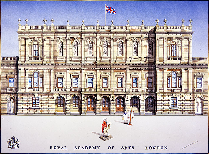
The Royal Academy of Arts (RA) is an art institution based in Burlington House on Piccadilly in London. Founded in 1768, it has a unique position as an independent, privately funded institution led by eminent artists and architects. Its purpose is to promote the creation, enjoyment and appreciation of the visual arts through exhibitions, education and debate. History The origin of the Royal Academy of Arts lies in an attempt in 1755 by members of the Society for the Encouragement of Arts, Manufactures and Commerce, principally the sculptor Henry Cheere, to found an autonomous academy of arts. Prior to this a number of artists were members of the Society for the Encouragement of Arts, Manufactures and Commerce, including Cheere and William Hogarth, or were involved in small-scale private art academies, such as the St Martin's Lane Academy. Although Cheere's attempt failed, the eventual charter, called an 'Instrument', used to establish the Royal Academy of Arts over a decad ... [...More Info...] [...Related Items...] OR: [Wikipedia] [Google] [Baidu] |
St Johns Wood
St John's Wood is a district in the City of Westminster, London, lying 2.5 miles (4 km) northwest of Charing Cross. Traditionally the northern part of the ancient parish and Metropolitan Borough of Marylebone, it extends east to west from Regent's Park and Primrose Hill to Edgware Road, with the Swiss Cottage area of Hampstead to the north and Lisson Grove to the south. The area is best known for Lord's Cricket Ground, home of Marylebone Cricket Club and Middlesex CCC, and is a regular international test cricket venue. It also includes Abbey Road Studios, well known through its association with the Beatles. Origin The area was once part of the Forest of Middlesex, an area with extensive woodland, though it was not the predominant land use. The area's name originates, in the Manor of Lileston, one of the two manors (the other the Manor of Tyburn) served by the Parish of Marylebone. The Manor was taken from the Knights Templar on their suppression in 1312 and pass ... [...More Info...] [...Related Items...] OR: [Wikipedia] [Google] [Baidu] |
.jpg)


.jpg)


