|
2016 China Floods
In mid-June 2016, severe weather such as heavy rainfall, thunderstorms and hail began across southern China, triggering deadly floods. Over the following month, additional rain events exacerbated flooding and affected more of the country. Areas along the Yangtze River and Huai River have been particularly hard-hit. An estimated 32 million people across 26 provinces were affected and more than 200 people were killed. of cropland was destroyed, with state damage estimates of around US$5.73 billion. According to Aon Benfield, the damage estimate has reached US$22 billion. Flooding of this magnitude was last seen in the country in 1998. The floods destroyed over 23,600 houses and left 3,600 refugees homeless. Background During the late spring and early summer, a semi-permanent frontal boundary—called the ''meiyu'' front—emerges across eastern China, Taiwan, and Japan. This feature leads to prolonged periods of heavy rain and thunderstorms which frequently cause damage. Rainfa ... [...More Info...] [...Related Items...] OR: [Wikipedia] [Google] [Baidu] |
Southern China
South China () is a geographical and cultural region that covers the southernmost part of China. Its precise meaning varies with context. A notable feature of South China in comparison to the rest of China is that most of its citizens are not native speakers of Standard Chinese. Cantonese is the most common language in the region while the Guangxi region contains the largest concentration of China's ethnic minorities, each with their own language. Administrative divisions Cities with urban area over one million in population Provincial capitals in bold. Namesake * South China tiger (southern China) * ''South China Morning Post'' (Hong Kong, South China) * Huanan Seafood Wholesale Market (Wuhan, Central China) See also * Lingnan * List of regions of China ** Southern China *** South Central China South Central China, South-Central China or Central-South China ( zh, c = 中南, p = Zhōngnán, l = Central-South), is a region of the People's Republic of China defi ... [...More Info...] [...Related Items...] OR: [Wikipedia] [Google] [Baidu] |
Enhanced Fujita Scale
The Enhanced Fujita scale (abbreviated as EF-Scale) rates tornado intensity based on the severity of the damage they cause. It is used in some countries, including the United States, Canada, China, and Mongolia. The Enhanced Fujita scale replaced the decommissioned Fujita scale that was introduced in 1971 by Ted Fujita. Operational use began in the United States on February 1, 2007, followed by Canada on April 1, 2013. It has also been proposed for use in France. The scale has the same basic design as the original Fujita scale—six intensity categories from zero to five, representing increasing degrees of damage. It was revised to reflect better examinations of tornado damage surveys, in order to align wind speeds more closely with associated storm damage. Better standardizing and elucidating what was previously subjective and ambiguous, it also adds more types of structures and vegetation, expands degrees of damage, and better accounts for variables such as differences in con ... [...More Info...] [...Related Items...] OR: [Wikipedia] [Google] [Baidu] |
Wuhan
Wuhan (, ; ; ) is the capital of Hubei, Hubei Province in the China, People's Republic of China. It is the largest city in Hubei and the most populous city in Central China, with a population of over eleven million, the List of cities in China by population, ninth-most populous Chinese city and one of the nine National Central City, National Central Cities of China. The name "Wuhan" came from the city's historical origin from the conglomeration of Wuchang District, Wuchang, Hankou District, Hankou, and Hanyang District, Hanyang, which are collectively known as the "Three Towns of Wuhan" (). Wuhan lies in the eastern Jianghan Plain, at the confluence of the Yangtze river and its largest tributary, the Han River (Hubei), Han River, and is known as "Nine Provinces' Thoroughfare" (). Wuhan has historically served as a busy city port for commerce and trading. Other historical events taking place in Wuhan include the Wuchang Uprising of 1911, which led to the end of 2,000 years of d ... [...More Info...] [...Related Items...] OR: [Wikipedia] [Google] [Baidu] |
Xinjiang
Xinjiang, SASM/GNC: ''Xinjang''; zh, c=, p=Xīnjiāng; formerly romanized as Sinkiang (, ), officially the Xinjiang Uygur Autonomous Region (XUAR), is an autonomous region of the People's Republic of China (PRC), located in the northwest of the country at the crossroads of Central Asia and East Asia. Being the largest province-level division of China by area and the 8th-largest country subdivision in the world, Xinjiang spans over and has about 25 million inhabitants. Xinjiang borders the countries of Mongolia, Russia, Kazakhstan, Kyrgyzstan, Tajikistan, Afghanistan, Pakistan and India. The rugged Karakoram, Kunlun and Tian Shan mountain ranges occupy much of Xinjiang's borders, as well as its western and southern regions. The Aksai Chin and Trans-Karakoram Tract regions, both administered by China, are claimed by India. Xinjiang also borders the Tibet Autonomous Region and the provinces of Gansu and Qinghai. The most well-known route of the historic Silk Ro ... [...More Info...] [...Related Items...] OR: [Wikipedia] [Google] [Baidu] |
Kunlun Mountains
The Kunlun Mountains ( zh, s=昆仑山, t=崑崙山, p=Kūnlún Shān, ; ug, كۇئېنلۇن تاغ تىزمىسى / قۇرۇم تاغ تىزمىسى ) constitute one of the longest mountain chains in Asia, extending for more than . In the broadest sense, the chain forms the northern edge of the Tibetan Plateau south of the Tarim Basin. The exact definition of Kunlun Mountains varies over time. Older sources used Kunlun to mean the mountain belt that runs across the center of China, that is, Altyn Tagh along with the Qilian and Qin Mountains. Recent sources have the Kunlun range forming most of the south side of the Tarim Basin and then continuing east, south of the Altyn Tagh. Sima Qian (''Records of the Grand Historian'', scroll 123) says that Emperor Wu of Han sent men to find the source of the Yellow River and gave the name Kunlun to the mountains at its source. The name seems to have originated as a semi-mythical location in the classical Chinese text ''Classic of Mounta ... [...More Info...] [...Related Items...] OR: [Wikipedia] [Google] [Baidu] |
Liu River
The Liu River (, pinyin: Liǔ Jiāng, literally: ''Willow River'') is a tributary within the Pearl River system in Guangxi, China. It is formed by the confluence of the Rong and Long rivers in Fengshan. It flows south through Liuzhou and then the Luoqing Jiang enters from the north. It meets the larger Hongshui He east of Laibin where it becomes known as the Qian Jiang. Non-native piranha A piranha or piraña (, , or ; or , ) is one of a number of freshwater fish in the family Serrasalmidae, or the subfamily Serrasalminae within the tetra family, Characidae in order Characiformes. These fish inhabit South American rivers, ... were reported to have been spotted in the river at Liuzhou. However, only one has ever been found. References {{China Rivers Rivers of Guangxi Tributaries of the Pearl River (China) ... [...More Info...] [...Related Items...] OR: [Wikipedia] [Google] [Baidu] |
Guangxi
Guangxi (; ; Chinese postal romanization, alternately romanized as Kwanghsi; ; za, Gvangjsih, italics=yes), officially the Guangxi Zhuang Autonomous Region (GZAR), is an Autonomous regions of China, autonomous region of the People's Republic of China, located in South China and bordering Vietnam (Hà Giang Province, Hà Giang, Cao Bằng Province, Cao Bằng, Lạng Sơn Province, Lạng Sơn, and Quảng Ninh Provinces) and the Gulf of Tonkin. Formerly a Provinces of China, province, Guangxi became an autonomous region in 1958. Its current capital is Nanning. Guangxi's location, in mountainous terrain in the far south of China, has placed it on the frontier of Chinese civilization throughout much of History of China, Chinese history. The current name "Guang" means "expanse" and has been associated with the region since the creation of Guang Prefecture in 226 AD. It was given Administrative divisions of the Yuan dynasty, provincial level status during the Yuan dynasty, but ev ... [...More Info...] [...Related Items...] OR: [Wikipedia] [Google] [Baidu] |
Liuzhou
Liuzhou (; , IPA Pronunciation:) is a prefecture-level city in north-central Guangxi Zhuang Autonomous Region, People's Republic of China. The prefecture's population was 3,758,700 in 2010, including 1,436,599 in the built-up area made of 4 urban districts. Its total area is and for the built up area. Geography Liuzhou is located on the banks of the winding Liu River, approximately from Nanning, the regional capital. By road, it is about to Guilin, to Hechi, to Nanning, to Fangchenggang, to Beihai. Swimming in the river is a tradition of the city. The river is normally green, but sometimes in summer, floods from the mountain areas upstream bring sediment which colors the water yellow. In early 2012, a cadmium spill upstream caused serious pollution worries.http://www.danwei.com/panic-buying-of-water-in-liuzhou-a-report-from-the-ground/ Panic buying of water in Liuzhou – a report from the ground The river can be deep. Normally, the depth is but can as deep as befo ... [...More Info...] [...Related Items...] OR: [Wikipedia] [Google] [Baidu] |
Anhui
Anhui , (; formerly romanized as Anhwei) is a landlocked province of the People's Republic of China, part of the East China region. Its provincial capital and largest city is Hefei. The province is located across the basins of the Yangtze River and the Huai River, bordering Jiangsu to the east, Zhejiang to the southeast, Jiangxi to the south, Hubei to the southwest, Henan to the northwest, and Shandong for a short section in the north. With a population of 63.65 million, Anhui is the 8th most populous province in China. It is the 22nd largest Chinese province based on area, and the 12th most densely-populated region of all 34 Chinese provincial regions. Anhui's population is mostly composed of Han Chinese. Languages spoken within the province include Jianghuai Mandarin, Wu, Hui, Gan and small portion of Zhongyuan Mandarin Chinese. The name "Anhui" derives from the names of two cities: Anqing and Huizhou (now Huangshan City). The abbreviation for Anhui is "" after the histori ... [...More Info...] [...Related Items...] OR: [Wikipedia] [Google] [Baidu] |
Lu'an
Lu'an (), is a prefecture-level city in western Anhui province, People's Republic of China, bordering Henan to the northwest and Hubei to the southwest. As of the 2020 census, it had a total population of 4,393,699 inhabitants whom 1,752,537 lived in the built-up (or metro) area made of Yu'an and Jin'an urban districts. Neighbouring prefecture-level cities are the provincial capital of Hefei to the east, Anqing to the south, Huanggang (Hubei) and Xinyang (Henan) to the west, and Huainan and Fuyang to the north. Although the character (literally: "six") is normally pronounced "Liù", in this case it changes to "Lù" on account of the historical Literary and colloquial readings of Chinese characters, literary reading. Geography and climate Lu'an is marked by the southern fringes of the North China Plain in its north and the northern part of the Dabie Mountains in its south. Its administrative area spans 31°01′−32°40′ N latitude and 115°20′−117°14′ E longitude, res ... [...More Info...] [...Related Items...] OR: [Wikipedia] [Google] [Baidu] |
Guizhou
Guizhou (; formerly Kweichow) is a landlocked province in the southwest region of the People's Republic of China. Its capital and largest city is Guiyang, in the center of the province. Guizhou borders the autonomous region of Guangxi to the south, Yunnan to the west, Sichuan to the northwest, the municipality of Chongqing to the north, and Hunan to the east. The population of Guizhou stands at 38.5 million, ranking 18th among the provinces in China. The Dian Kingdom, which inhabited the present-day area of Guizhou, was annexed by the Han dynasty in 106 BC. Guizhou was formally made a province in 1413 during the Ming dynasty. After the overthrow of the Qing in 1911 and following the Chinese Civil War, the Chinese Communist Party took refuge in Guizhou during the Long March between 1934 and 1935. After the establishment of the People's Republic of China, Mao Zedong promoted the relocation of heavy industry into inland provinces such as Guizhou, to better protect them fr ... [...More Info...] [...Related Items...] OR: [Wikipedia] [Google] [Baidu] |
Bijie
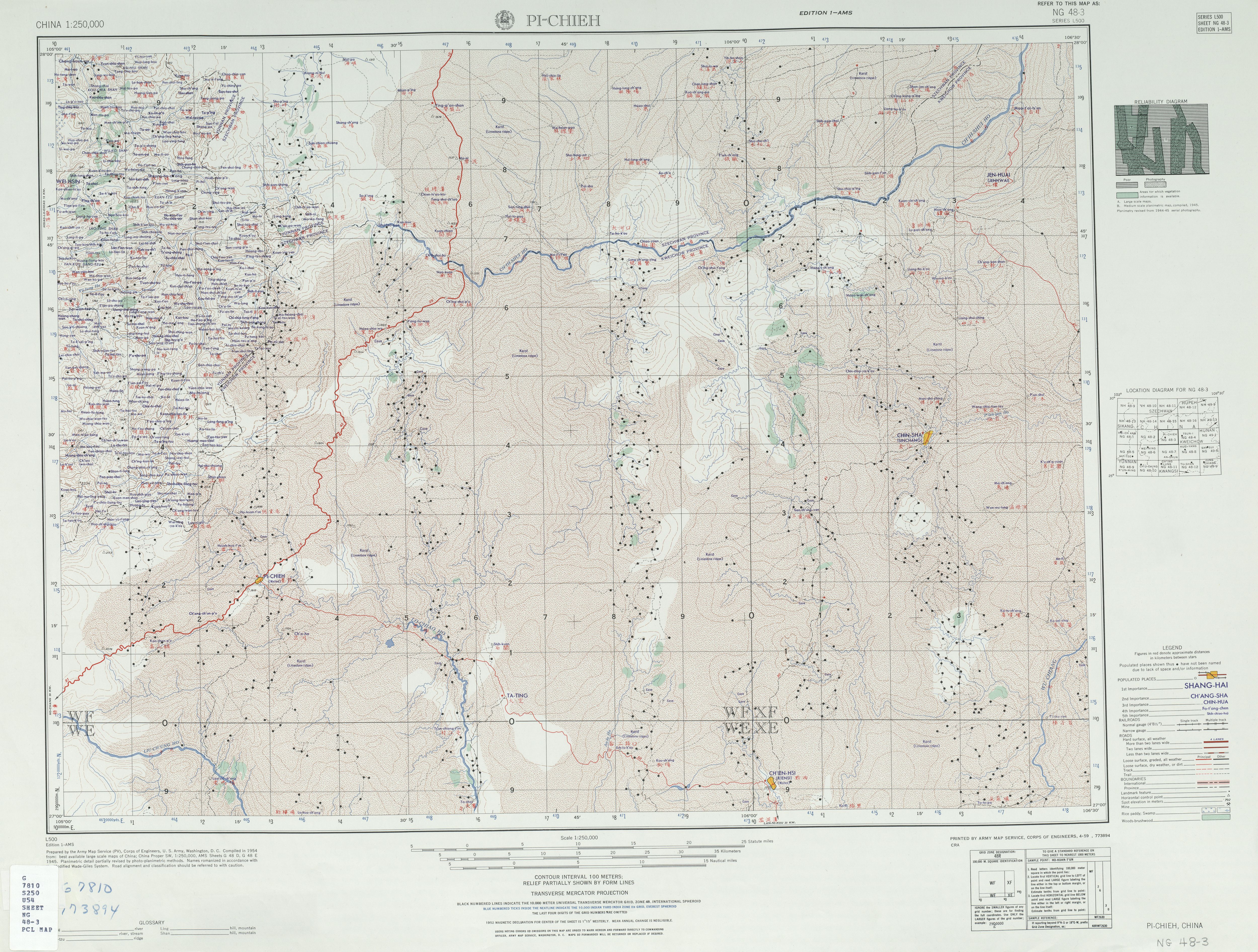
Bijie () is a prefecture-level city in northwestern Guizhou Province, China, bordering Sichuan to the north and Yunnan to the west. The Daotianhe Reservoir, located to the north of the town was commissioned in 1965 with a rated annual capacity of 6.5 million cubic meters. On 10 November 2011, the former Bijie Prefecture () was converted to a prefecture-level city, and the former county-level city of Bijie was rechristened Qixingguan District. Geography and climate Bijie borders Zunyi to the east, Anshun and Liupanshui to the south, Zhaotong and Qujing (Yunnan) to the west, and Luzhou (Sichuan) to the north. It spans latitude 26°21′−27°46′ N and longitude 105°36′−106°43′ E, and is marked heavily by the presence of the Wumeng Mountains () as well as karst topography. The Wu, Beipan, and Chishui Rivers are the most important rivers that originate here. The highest elevation is Jiucaiping (), at , on the border of Hezhang and Weining counties. Due to its lo ... [...More Info...] [...Related Items...] OR: [Wikipedia] [Google] [Baidu] |


.jpg)


