|
White River Railroad (Vermont)
The White River Railroad was an intrastate railroad in southeastern Vermont. It ran from Bethel, Vermont to Rochester, Vermont, a distance of approximately 19 miles. History Planning for the White River Valley Electric Railroad began in 1896, and the line was charted along the course of the White River. The name was changed to White River Valley Railroad and finally White River Railroad before construction began in 1899. Built on a shoestring budget, the first train arrived in Rochester in December 1900. Because the railroad followed the course of the White River closely, it was frequently damaged by floods and was often referred to as "The Peavine". Like most railroads in Vermont, it was heavily damaged by the great Flood of November, 1927. Though the railroad was fully rebuilt the following year, the Great Depression reduced traffic to fatal levels, and the railroad was abandoned in 1933. Stations The railroad stopped at the following locations from east to west: * Bet ... [...More Info...] [...Related Items...] OR: [Wikipedia] [Google] [Baidu] |
Vermont
Vermont () is a state in the northeast New England region of the United States. Vermont is bordered by the states of Massachusetts to the south, New Hampshire to the east, and New York to the west, and the Canadian province of Quebec to the north. Admitted to the union in 1791 as the 14th state, it is the only state in New England not bordered by the Atlantic Ocean. According to the 2020 U.S. census, the state has a population of 643,503, ranking it the second least-populated in the U.S. after Wyoming. It is also the nation's sixth-smallest state in area. The state's capital Montpelier is the least-populous state capital in the U.S., while its most-populous city, Burlington, is the least-populous to be a state's largest. For some 12,000 years, indigenous peoples have inhabited this area. The competitive tribes of the Algonquian-speaking Abenaki and Iroquoian-speaking Mohawk were active in the area at the time of European encounter. During the 17th century, Fr ... [...More Info...] [...Related Items...] OR: [Wikipedia] [Google] [Baidu] |
Bethel, Vermont
Bethel is a town in Windsor County, Vermont, United States. The population was 1,942 at the 2020 census. The town includes the locations of Bethel village, Bethel-Gilead, East Bethel, Lilliesville, Lympus (formerly Olympus), and West Bethel. Bethel is best known for being the source of Bethel White granite which was used to build Union Station (Washington, D.C.) and the National Museum of Natural History. Bethel was the first town created by the independent Republic of Vermont in 1779 and was named after the Biblical village of Bethel. Geography According to the United States Census Bureau, the town has a total area of , of which is land and , or 0.58%, is water. Bethel is crossed by Interstate 89 (Exit 3 serves the town), Vermont Route 12 and Vermont Route 107. Amtrak's ''Vermonter'' train, operating daily between St. Albans and Washington, DC also passes through, but does not stop in town as it traverses the New England Central Railroad. The closest stations are Randolp ... [...More Info...] [...Related Items...] OR: [Wikipedia] [Google] [Baidu] |
Rochester, Vermont
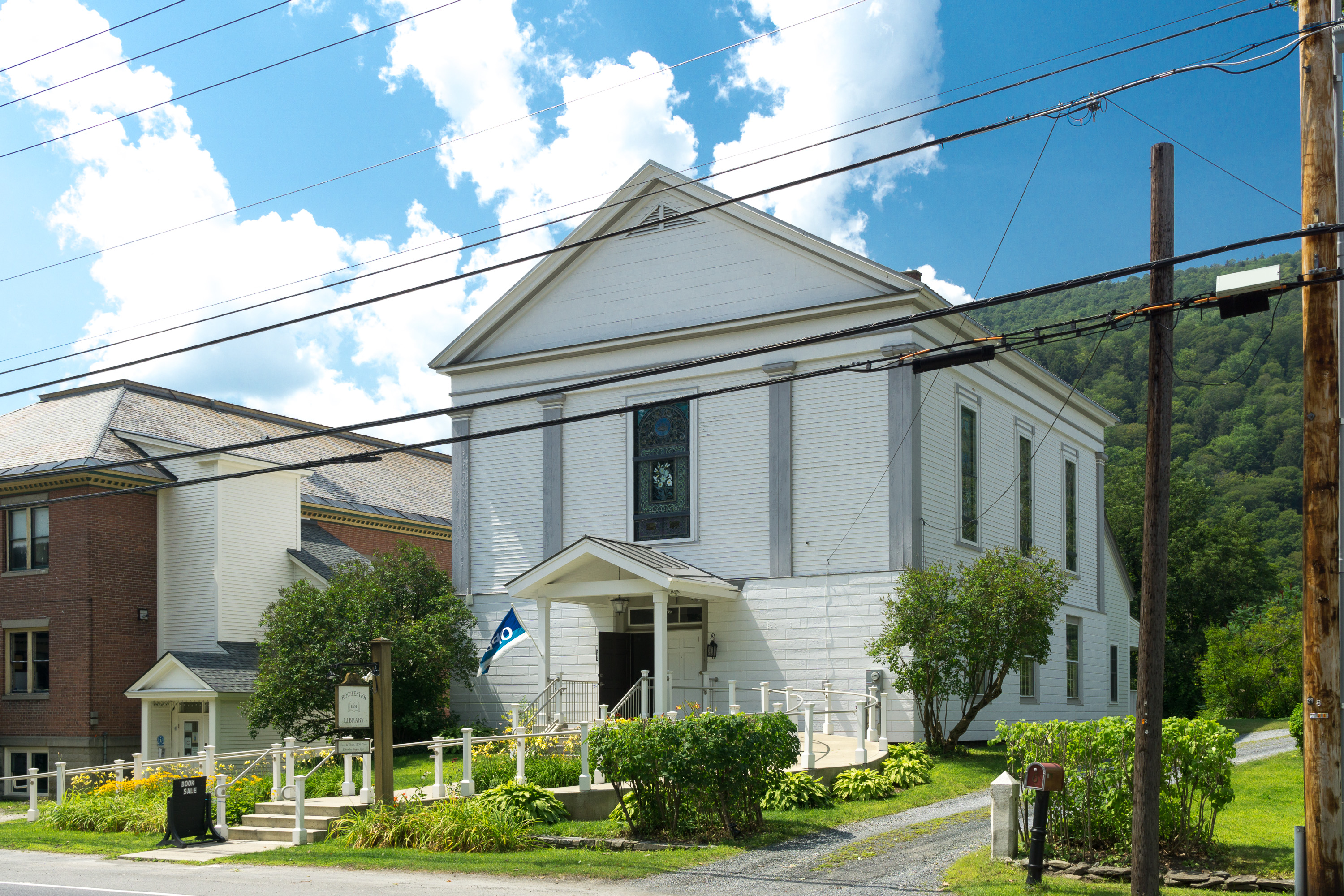
Rochester is a town in Windsor County, Vermont, United States. The population was 1,099 at the 2020 census. The central village is delineated as the Rochester census-designated place. Set on the edge of the Green Mountain National Forest, the town is a picturesque tourist destination. History Rochester was granted in 1780, chartered in 1781 to Dudley Chase, Asa Whitcomb and 63 others, then organized in 1788. It was first settled in the winter of 1781–1782 by David Currier and his family. Rochester's boundaries expanded through annexation of part of Pittsfield town in 1806, annexation of an additional area from Pittsfield town plus a part of Braintree town in 1824, a part of Hancock town in 1834, and finally an annexation of part of Goshen town in 1847. The surface of the town is mountainous and broken, but the intervales along the White River provided good farmland. There were sites supplying water power for mills. By 1859, when the population was 1,493, industries inc ... [...More Info...] [...Related Items...] OR: [Wikipedia] [Google] [Baidu] |
White River (Vermont)
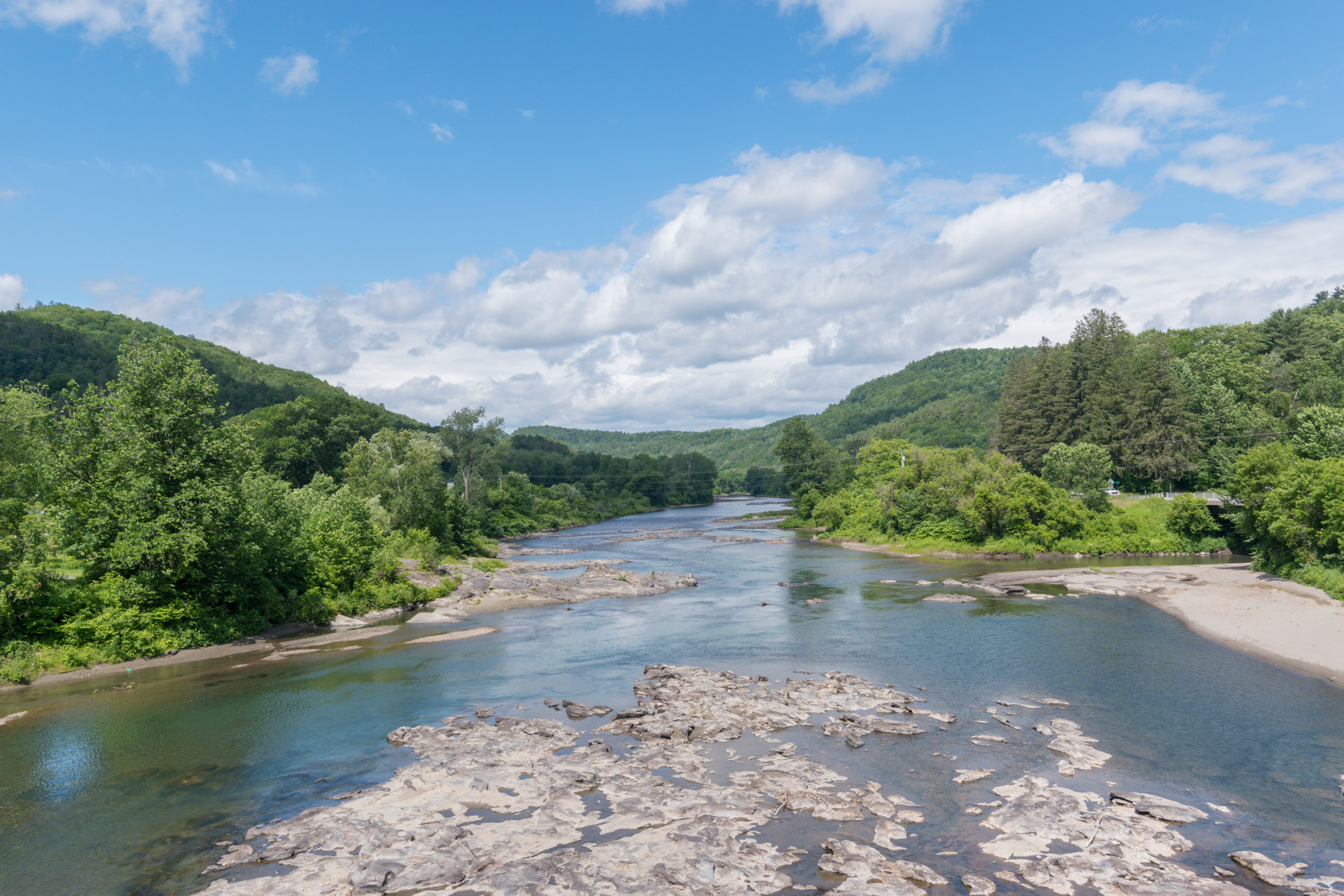
The White River is a U.S. Geological Survey. National Hydrography Dataset high-resolution flowline dataThe National Map accessed April 1, 2011 river in the U.S. state of Vermont. It is a tributary of the Connecticut River, and is the namesake of the White River Valley. The White River rises at Skylight Pond south of Bread Loaf Mountain near the crest of the Green Mountains. The river flows east to the town of Granville, where it receives the outflow from the southern portion of Granville Notch. The river turns south and, followed by Vermont Route 100, flows through the towns of Hancock and Rochester. Entering Stockbridge, the river turns northeast and, followed by Vermont Route 107, flows to the town of Bethel, where the Third Branch of the White River enters from the north. The Second Branch and the First Branch of the White River also enter from the north as the river flows through Royalton. From Royalton to the river's mouth, the valley is occupied by Interstate 89 and ... [...More Info...] [...Related Items...] OR: [Wikipedia] [Google] [Baidu] |
Floods In The United States
Lists of floods in the United States provide overviews of major floods in the United States. They are organized by time period: before 1901, from 1901 to 2000, and from 2001 to the present. Lists * Floods in the United States before 1901 Floods in the United States before 1900 is a list of flood events that were of significant impact to the country, before 1900. Floods are generally caused by excessive rainfall, excessive snowmelt, and dam failure. Prehistoric events Kankakee Tor ... * Floods in the United States: 1901–2000 * Floods in the United States: 2001–present {{DEFAULTSORT:Floods in the United States ... [...More Info...] [...Related Items...] OR: [Wikipedia] [Google] [Baidu] |
Great Depression
The Great Depression (19291939) was an economic shock that impacted most countries across the world. It was a period of economic depression that became evident after a major fall in stock prices in the United States. The economic contagion began around September and led to the Wall Street stock market crash of October 24 (Black Thursday). It was the longest, deepest, and most widespread depression of the 20th century. Between 1929 and 1932, worldwide gross domestic product (GDP) fell by an estimated 15%. By comparison, worldwide GDP fell by less than 1% from 2008 to 2009 during the Great Recession. Some economies started to recover by the mid-1930s. However, in many countries, the negative effects of the Great Depression lasted until the beginning of World War II. Devastating effects were seen in both rich and poor countries with falling personal income, prices, tax revenues, and profits. International trade fell by more than 50%, unemployment in the U.S. rose to 23% and ... [...More Info...] [...Related Items...] OR: [Wikipedia] [Google] [Baidu] |
Central Vermont Railway
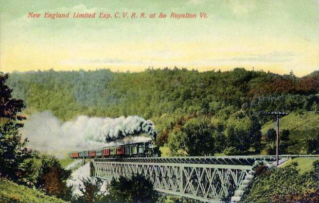
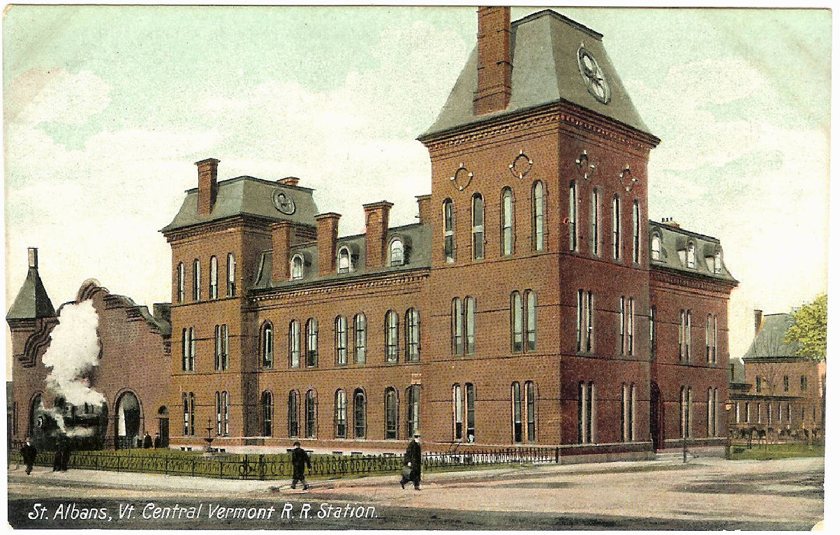
The Central Vermont Railway was a railroad that operated in the U.S. states of Connecticut, Massachusetts, New Hampshire, New York, and Vermont, as well as the Canadian province of Quebec. It connected Montreal, Quebec, with New London, Connecticut, using a route along the shores of Lake Champlain, through the Green Mountains and along the Connecticut River valley, as well as Montreal to Boston, Massachusetts, through a connection with the Boston and Maine Railroad at White River Junction, Vermont. History The Vermont Central Railroad was chartered October 31, 1843, to build a line across the center of Vermont, running from Burlington on Lake Champlain east to Montpelier, and then southeast and south to Windsor on the Connecticut River. Initial plans had the main line running through Montpelier. However, due to the difficulty of building through the Williamstown Gulf, a narrow valley south of Barre, Vermont, and to land interests of Charles Paine in Northfield, Vermont, a cou ... [...More Info...] [...Related Items...] OR: [Wikipedia] [Google] [Baidu] |
Bethel Granite Railway
The Central Vermont Railway was a railroad that operated in the U.S. states of Connecticut, Massachusetts, New Hampshire, New York, and Vermont, as well as the Canadian province of Quebec. It connected Montreal, Quebec, with New London, Connecticut, using a route along the shores of Lake Champlain, through the Green Mountains and along the Connecticut River valley, as well as Montreal to Boston, Massachusetts, through a connection with the Boston and Maine Railroad at White River Junction, Vermont. History The Vermont Central Railroad was chartered October 31, 1843, to build a line across the center of Vermont, running from Burlington on Lake Champlain east to Montpelier, and then southeast and south to Windsor on the Connecticut River. Initial plans had the main line running through Montpelier. However, due to the difficulty of building through the Williamstown Gulf, a narrow valley south of Barre, Vermont, and to land interests of Charles Paine in Northfield, Vermont, a ... [...More Info...] [...Related Items...] OR: [Wikipedia] [Google] [Baidu] |
Stockbridge, Vermont
Stockbridge is a town in Windsor County, Vermont, United States, which contains the village of Gaysville. The population was 718 at the 2020 census. Stockbridge was one of thirteen Vermont towns isolated by flooding caused by Hurricane Irene in 2011. Geography According to the United States Census Bureau, the town has a total area of , of which are land and , or 0.60%, is water. Demographics As of the census of 2000, there were 674 people, 281 households, and 193 families residing in the town. The population density was 14.6 people per square mile (5.6/km2). There were 528 housing units at an average density of 11.4 per square mile (4.4/km2). The racial makeup of the town was 98.37% White, 0.59% African American, 0.45% Native American, 0.45% Asian and 0.15% Pacific Islander. Hispanic or Latino of any race were 0.45% of the population. There were 281 households, out of which 29.9% had children under the age of 18 living with them, 58.0% were married couples living togeth ... [...More Info...] [...Related Items...] OR: [Wikipedia] [Google] [Baidu] |
.jpg)


