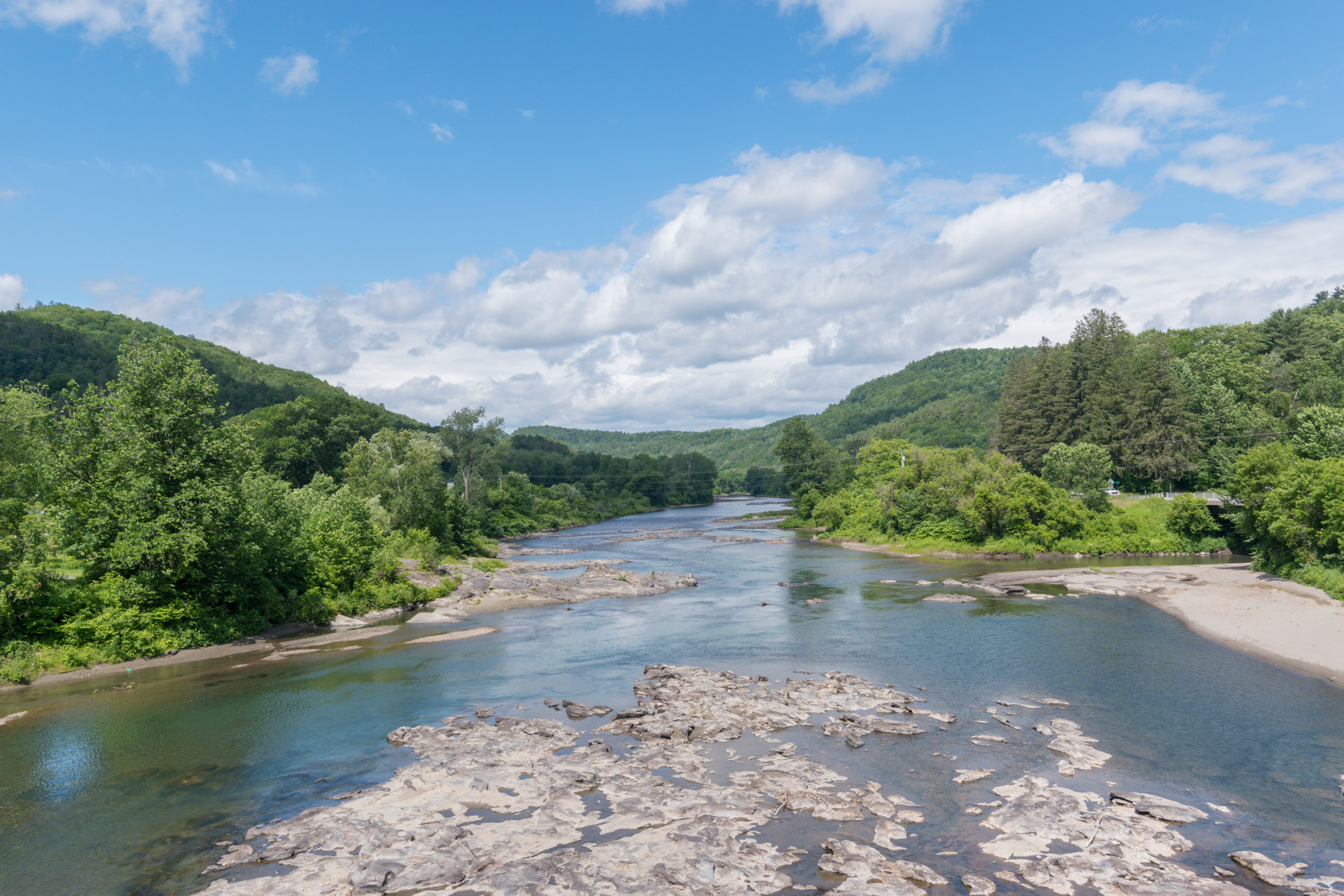
White River (Vermont) on:
[Wikipedia]
[Google]
[Amazon]
 The White River is a U.S. Geological Survey. National Hydrography Dataset high-resolution flowline data
The National Map
accessed April 1, 2011 river in the
 The White River is a U.S. Geological Survey. National Hydrography Dataset high-resolution flowline data
The National Map
accessed April 1, 2011 river in the
U.S. state
In the United States, a state is a constituent political entity, of which there are 50. Bound together in a political union, each state holds governmental jurisdiction over a separate and defined geographic territory where it shares its sove ...
of Vermont
Vermont () is a state in the northeast New England region of the United States. Vermont is bordered by the states of Massachusetts to the south, New Hampshire to the east, and New York to the west, and the Canadian province of Quebec to the ...
. It is a tributary
A tributary, or affluent, is a stream or river that flows into a larger stream or main stem (or parent) river or a lake. A tributary does not flow directly into a sea or ocean. Tributaries and the main stem river drain the surrounding drainag ...
of the Connecticut River, and is the namesake of the White River Valley The White River Valley is a region in central Vermont, United States. The area is a natural river valley of the White River.
As defined by the valley's chamber of commerce, it includes eleven towns: Bethel, Braintree, Brookfield, Chelsea, Han ...
.
The White River rises at Skylight Pond south of Bread Loaf Mountain near the crest of the Green Mountains
The Green Mountains are a mountain range in the U.S. state of Vermont. The range runs primarily south to north and extends approximately from the border with Massachusetts to the border with Quebec, Canada. The part of the same range that is i ...
. The river flows east to the town of Granville, where it receives the outflow from the southern portion of Granville Notch. The river turns south and, followed by Vermont Route 100
Vermont Route 100 (VT 100) is a north–south state highway in Vermont in the United States. Running through the center of the state, it travels nearly the entire length of Vermont and is long. VT 100 is the state's longest number ...
, flows through the towns of Hancock and Rochester
Rochester may refer to:
Places Australia
* Rochester, Victoria
Canada
* Rochester, Alberta
United Kingdom
*Rochester, Kent
** City of Rochester-upon-Medway (1982–1998), district council area
** History of Rochester, Kent
** HM Prison ...
. Entering Stockbridge, the river turns northeast and, followed by Vermont Route 107, flows to the town of Bethel
Bethel ( he, בֵּית אֵל, translit=Bēṯ 'Ēl, "House of El" or "House of God",Bleeker and Widegren, 1988, p. 257. also transliterated ''Beth El'', ''Beth-El'', ''Beit El''; el, Βαιθήλ; la, Bethel) was an ancient Israelite san ...
, where the Third Branch of the White River enters from the north. The Second Branch and the First Branch of the White River also enter from the north as the river flows through Royalton.
From Royalton to the river's mouth, the valley is occupied by Interstate 89
Interstate 89 (I-89) is an Interstate Highway in the New England region of the United States traveling from Bow, New Hampshire, to the Canadian border between Highgate Springs, Vermont, and Saint-Armand, Quebec. As with all odd-numb ...
and Vermont Route 14
Vermont Route 14 (VT 14) is a north–south state highway in northeastern Vermont, United States. It extends from U.S. Route 4 (US 4) and US 5 in White River Junction to VT 100 in Newport. Between White River Junction a ...
. Flowing southeast, the river passes through the town of Sharon and enters the town of Hartford
Hartford is the capital city of the U.S. state of Connecticut. It was the seat of Hartford County until Connecticut disbanded county government in 1960. It is the core city in the Greater Hartford metropolitan area. Census estimates since ...
, where it reaches the Connecticut River at the village of White River Junction.
See also
*List of rivers of Vermont
This is a list of rivers in the U.S. state of Vermont, sorted by drainage basin, and ordered from lower to higher, with the towns at their mouths:
Connecticut River
The Connecticut River flows south towards Long Island Sound in Connecticu ...
References
* U.S. Geological Survey topographic maps, 1:100,000-scale series, Rutland (VT) quadrangle * Rivers of Vermont Tributaries of the Connecticut River Rivers of Addison County, Vermont Rivers of Windsor County, Vermont {{Vermont-river-stub