|
Tiger Dance
Tiger dance is a traditional performing art in which persons wearing tiger costumes dance by themselves or with others. Asia Indonesia * Reog Ponorogo of Ponorogo, Java India * Puliyattam - Tamil nadu * Pilivesa , Huli Vesha - Tulu Nadu region spanning the Indian states of Karnataka and Kerala. * Puli Kali - Kerala * Baagh Naach - Subarnapur district, Ganjam district, Odisha * Manavi Vagh (Human Tiger) - Nagpur, Maharashtra Nepal * Baagh Naach of Newa People of Nepal China * Tiger dance of Hainan * Tiger dance of Henan * Tiger dance of Lo Wu, Northern District, Hong Kong * Tiger dance of Yongji, Shanxi Japan * Tiger dance of Kamaishi, Iwate * Tiger dance of Ōfunato, Iwate * Tiger dance of Shizuoka prefecture * Tiger dance of Yokosuka, Kanagawa (in Japanese)
|
Subarnapur District
Subarnapur District, also called Sonepur District or Sonapur District, is an administrative district in western Odisha state in eastern India. The town of Sonepur is the district headquarters. Sonepur has a rich cultural heritage and is known as the Mandiramalini town (city of temples) of Odisha with more than hundred temples. The people of the Sonepur region are referred to as Sonepuria. History In the 8th century CE, the region was known as Swarnapur and was rules by vassal lords of the Bhaumkaras of Tosali. The region was then ruled by the Somavamsis and eventually became one of two capitals of the Somavamsis. Around the 10th and 11th centuries, the region was called Pashima Lanka or Western Lanka. The evidence for these names comes from a Somavamsi prince of the region called Kumara Someswaradeva who issued a copper plate charter in the late 10th century which identified him as the ruler of Paschima Lanka. Historically, the presiding deity of the region was the goddess ... [...More Info...] [...Related Items...] OR: [Wikipedia] [Google] [Baidu] |
Shizuoka Prefecture
is a prefecture of Japan located in the Chūbu region of Honshu. Shizuoka Prefecture has a population of 3,637,998 and has a geographic area of . Shizuoka Prefecture borders Kanagawa Prefecture to the east, Yamanashi Prefecture to the northeast, Nagano Prefecture to the north, and Aichi Prefecture to the west. Shizuoka is the capital and Hamamatsu is the largest city in Shizuoka Prefecture, with other major cities including Fuji, Numazu, and Iwata. Shizuoka Prefecture is located on Japan's Pacific Ocean coast and features Suruga Bay formed by the Izu Peninsula, and Lake Hamana which is considered to be one of Japan's largest lakes. Mount Fuji, the tallest volcano in Japan and cultural icon of the country, is partially located in Shizuoka Prefecture on the border with Yamanashi Prefecture. Shizuoka Prefecture has a significant motoring heritage as the founding location of Honda, Suzuki, and Yamaha, and is home to the Fuji International Speedway. History Shizuoka ... [...More Info...] [...Related Items...] OR: [Wikipedia] [Google] [Baidu] |
Kamaishi, Iwate
is a city located on the Sanriku rias coast in Iwate Prefecture, Japan. , the city had an estimated population of 32,609, and a population density of 74 persons per km2, in 16,230 households. The total area of the city is Geography Kamaishi is located in the Kitakami Mountains of south-central Iwate Prefecture, with the Pacific Ocean to the east. The spectacular, rugged coast of Kamaishi is entirely within the Sanriku Fukkō National Park. There are four large bays, Ōtsuchi Bay in the north, Ryōishi Bay, Kamaishi Bay and Tōni Bay in the south. Each is separated by large, rocky, pine-covered peninsulas which jut out into the Pacific Ocean. Immediately the rocky cliffs develop into hills rising to along the coast and farther inland. The highest point in Kamaishi is Mount Goyōzan in the southwest at 1,341.3 meters in elevation. Most of the land is mountainous, allowing for little agriculture. The main rivers are the Kasshigawa River which empties into Kamaishi Bay and the ... [...More Info...] [...Related Items...] OR: [Wikipedia] [Google] [Baidu] |
Yongji, Shanxi
Yongji () is a county-level city in the prefecture-level city of Yuncheng, in the southwest of Shanxi province, China, bordering Shaanxi Shaanxi (alternatively Shensi, see § Name) is a landlocked province of China. Officially part of Northwest China, it borders the province-level divisions of Shanxi (NE, E), Henan (E), Hubei (SE), Chongqing (S), Sichuan (SW), Gansu (W), N ... province to the west. According to a census in 2011, the population in Yongji was 446,000. Climate References Cities in Shanxi County-level divisions of Shanxi {{Shanxi-geo-stub ... [...More Info...] [...Related Items...] OR: [Wikipedia] [Google] [Baidu] |
Northern District, Hong Kong
North District () is the northernmost district of the 18 districts of Hong Kong. It is located in the northeastern part of the New Territories. The new town of Fanling–Sheung Shui is within this district. It had a population of 298,657 in 2001. The district has the second lowest population density in Hong Kong. It borders with Shenzhen city with the Sham Chun River. Most major access points to Mainland China from Hong Kong lie in this district. The North District is about in area. Demographics According to statistics, 70% of the district population lives in the public estates in the Fanling–Sheung Shui New Town. 40,000 villagers living around the two town centres and the main rural towns (Sha Tau Kok and Ta Kwu Ling) account for most residents in the district. Islands of the district * A Chau () * Ap Chau Mei Pak Tun Pai () * Ap Chau Pak Tun Pai () * Ap Chau (, Robinson Island) * Ap Lo Chun () * Ap Tan Pai () * Ap Tau Pai () * Chap Mo Chau () * Cheung Shek Ts ... [...More Info...] [...Related Items...] OR: [Wikipedia] [Google] [Baidu] |
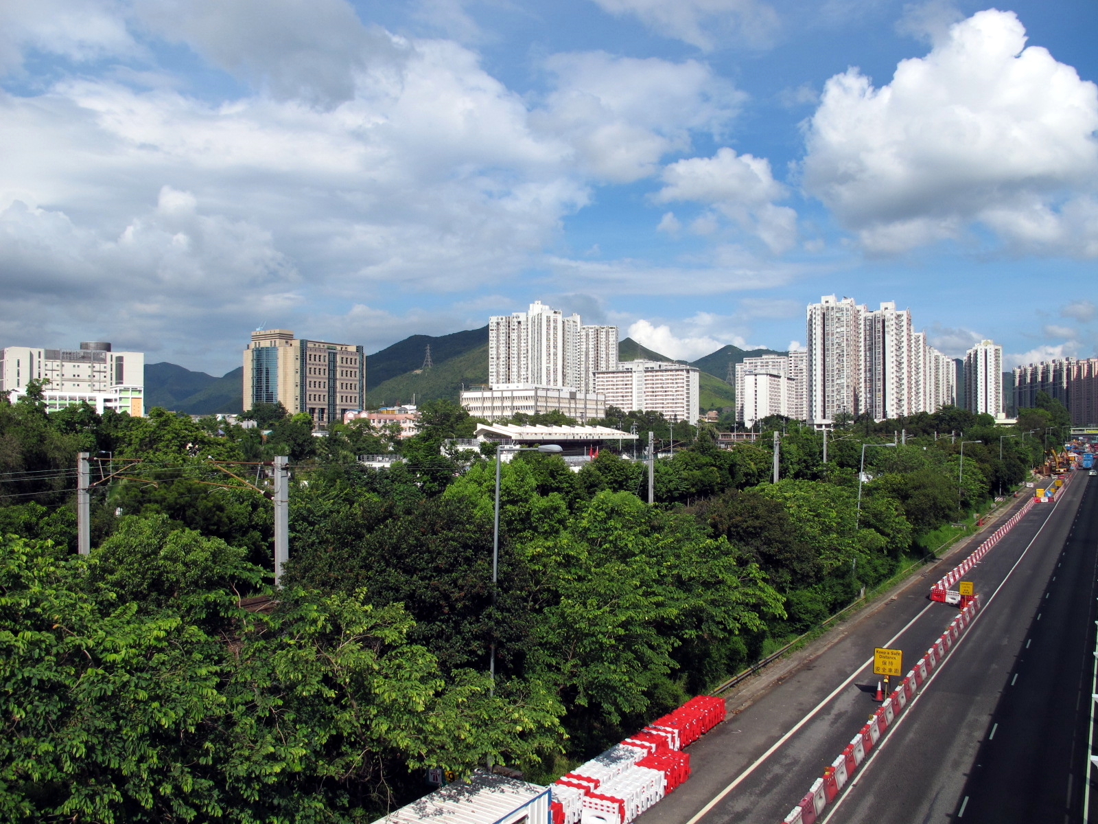
Lo Wu
Lo Wu or Lowu is an area in North District, New Territories, Hong Kong. It lies on the border between Hong Kong and mainland China, specifically the Luohu District of Shenzhen in mainland China. The area is most notable as the location of the most heavily used immigration control point for passengers travelling to and from mainland China. It is where the Lo Wu station is located. History Lo Wu () was known as 螺湖 (Lo Wu, lit. shell lake) in Cantonese language. 羅 (lo) and 螺 (lo) are two characters with same consonant and vowel but of different tones. Lo Wu was mentioned in the list of withdrawn villages during Qing era against remaining resistance of former Ming. At the time of the 1911 census, the population of Lo Wu was 8. Location Lo Wu is located at junction of Sheung Yue River and Sham Chun River. East of Lo Wu is a hill named Sandy Ridge, known as Sha Ling to locals, which is one of the major cemeteries located in Hong Kong. The entire Lo Wu area was divided ... [...More Info...] [...Related Items...] OR: [Wikipedia] [Google] [Baidu] |
Henan
Henan (; or ; ; alternatively Honan) is a landlocked province of China, in the central part of the country. Henan is often referred to as Zhongyuan or Zhongzhou (), which literally means "central plain" or "midland", although the name is also applied to the entirety of China proper. Henan is a birthplace of Han Chinese civilization, with over 3,200 years of recorded history and remained China's cultural, economic and political center until approximately 1,000 years ago. Henan Province is home to many heritage sites, including the ruins of Shang dynasty capital city Yin and the Shaolin Temple. Four of the Eight Great Ancient Capitals of China, Luoyang, Anyang, Kaifeng and Zhengzhou, are in Henan. The practice of tai chi also began here in Chen Jia Gou Village (Chen style), as did the later Yang and Wu styles. Although the name of the province () means "south of the ellowriver.", approximately a quarter of the province lies north of the Yellow River, also known as the H ... [...More Info...] [...Related Items...] OR: [Wikipedia] [Google] [Baidu] |
Hainan
Hainan (, ; ) is the smallest and southernmost province of the People's Republic of China (PRC), consisting of various islands in the South China Sea. , the largest and most populous island in China,The island of Taiwan, which is slightly larger, is claimed but not controlled by the PRC. It is instead controlled by the Republic of China, a ''de facto'' separate country. makes up the vast majority (97%) of the province. The name means "south of the sea", reflecting the island's position south of the Qiongzhou Strait, which separates it from Leizhou Peninsula. The province has a land area of , of which Hainan the island is and the rest is over 200 islands scattered across three archipelagos: Zhongsha, Xisha and Nansha. It was part of Guangdong from 1950–88, after which it resumed as a top-tier entity and almost immediately made the largest Special Economic Zone by Deng Xiaoping as part of the then-ongoing Chinese economic reform program. Indigenous peoples lik ... [...More Info...] [...Related Items...] OR: [Wikipedia] [Google] [Baidu] |
Maharashtra
Maharashtra (; , abbr. MH or Maha) is a state in the western peninsular region of India occupying a substantial portion of the Deccan Plateau. Maharashtra is the second-most populous state in India and the second-most populous country subdivision globally. It was formed on 1 May 1960 by splitting the bilingual Bombay State, which had existed since 1956, into majority Marathi-speaking Maharashtra and Gujarati-speaking Gujarat. Maharashtra is home to the Marathi people, the predominant ethno-linguistic group, who speak the Marathi language, the official language of the state. The state is divided into 6 divisions and 36 districts, with the state capital being Mumbai, the most populous urban area in India, and Nagpur serving as the winter capital, which also hosts the winter session of the state legislature. Godavari and Krishna are the two major rivers in the state. Forests cover 16.47 per cent of the state's geographical area. Out of the total cultivable land in the ... [...More Info...] [...Related Items...] OR: [Wikipedia] [Google] [Baidu] |
Nagpur
Nagpur (pronunciation: aːɡpuːɾ is the third largest city and the winter capital of the Indian state of Maharashtra. It is the 13th largest city in India by population and according to an Oxford's Economics report, Nagpur is projected to be the fifth fastest growing city in the world from 2019 to 2035 with an average growth of 8.41%. It has been proposed as one of the Smart Cities in Maharashtra and is one of the top ten cities in India in Smart City Project execution. In the latest rankings of 100 developing smart cities given by the Union Ministry of Urban Development, Nagpur stood first in Maharashtra state and second in India. Known as the "Orange City", Nagpur has officially become the greenest, safest and most technologically developed city in the Maharashtra state. Nagpur is the seat of the annual winter session of the Maharashtra state assembly. It is a major commercial and political center of the Vidarbha region of Maharashtra. In addition, the city derives un ... [...More Info...] [...Related Items...] OR: [Wikipedia] [Google] [Baidu] |


