|
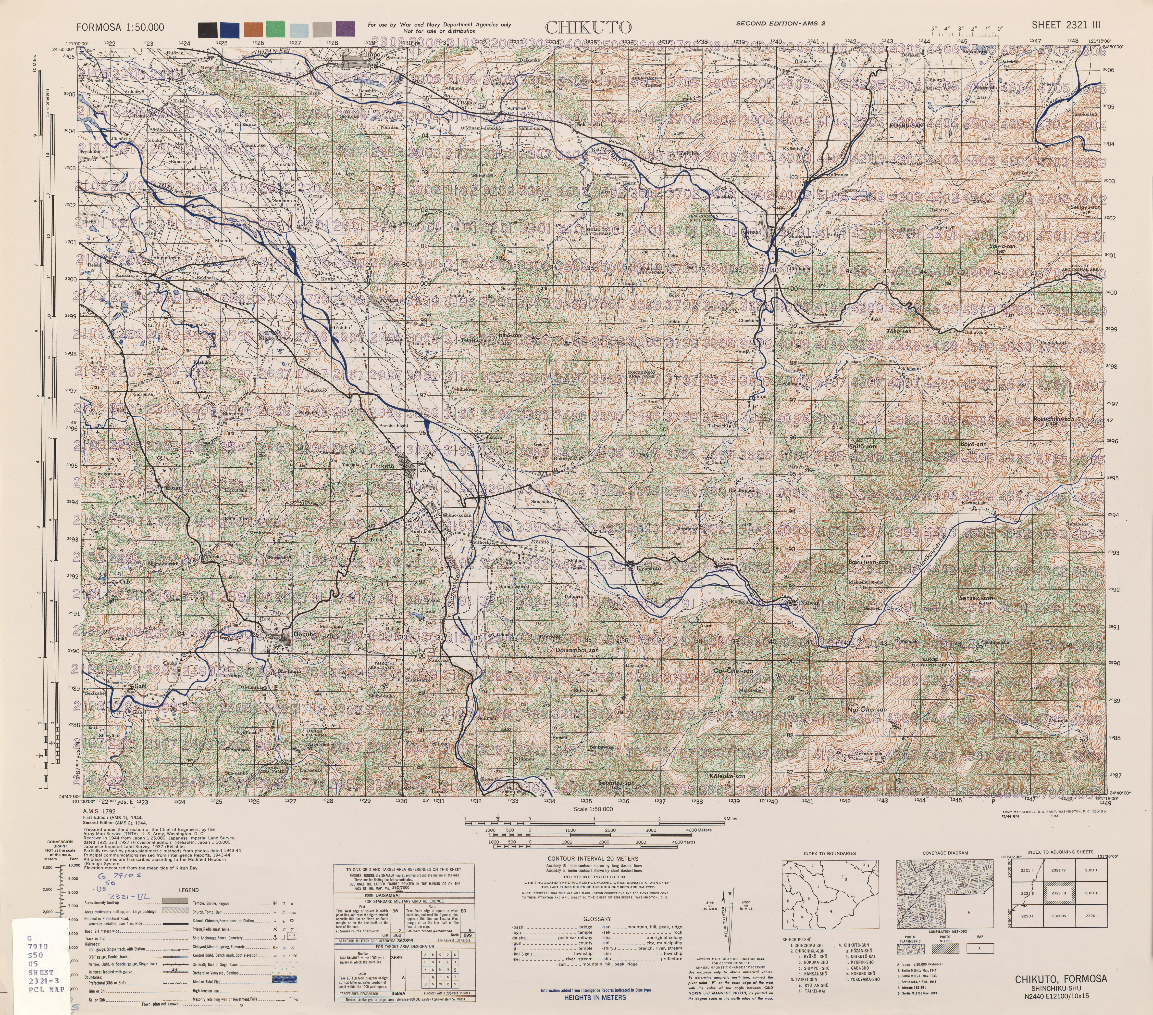
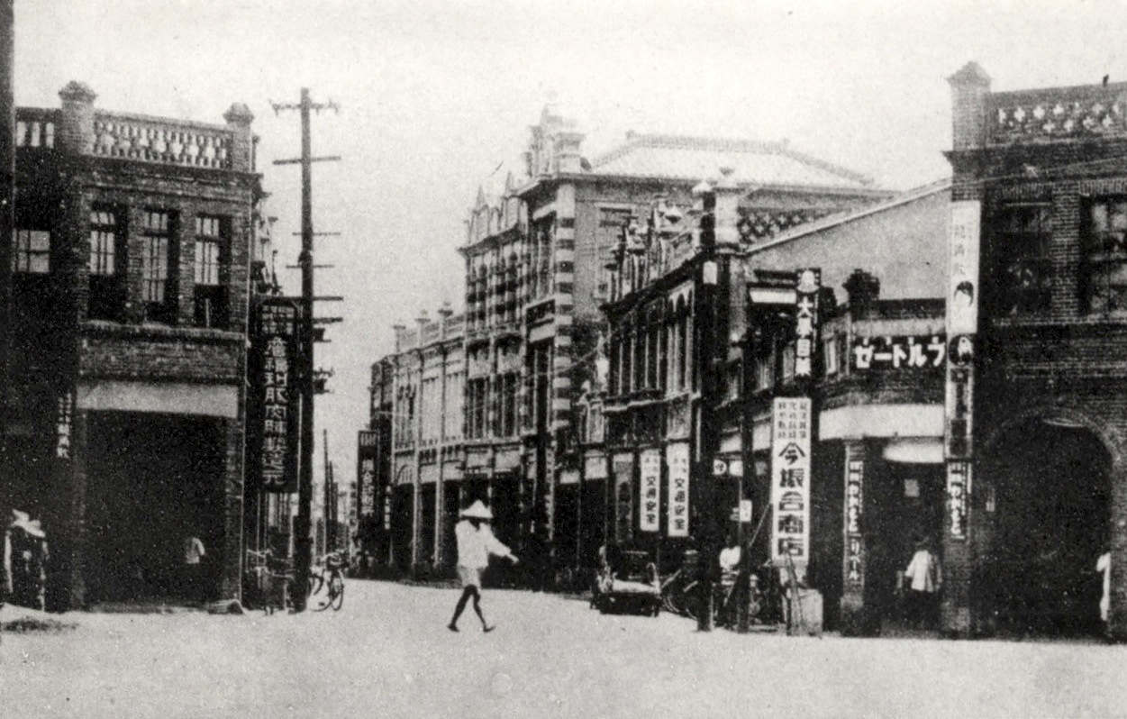
Shinchiku Prefecture
was one of the administrative divisions of Taiwan during the Japanese era. The prefecture consisted of modern-day Hsinchu City, Hsinchu County, Taoyuan City, and Miaoli County. Population 1941 ( Showa 16) census *Total population: 838,011 **Japanese 20,693 **Taiwanese 815,274 **Korean 150 **Other 1,894 Administrative divisions Cities and districts In 1945 ( Showa 20), there were 1 cities and 8 districts under Shinchiku Prefecture. Towns and villages The districts are divided into towns (街) and villages (庄) Shintō shrines * Shinchiku Shrine * Tsūshō Shrine * Tōen Shrine (now Taoyuan County Martyr's Shrine) * Byōritsu Shrine * Chūreki Shrine * Tōfun Shrine * Chikunan Shrine *Taigo Shrine * Chikutō Shrine National Parks * Tsugitaka Taroko National Park (established 12 December 1937) Famous people List of notable people born in Shinchiku Prefecture during Japanese rule: *Peter Huang 黄文雄 (independence activist, social commentator in Japan, chairman of Amnes ... [...More Info...] [...Related Items...] OR: [Wikipedia] [Google] [Baidu] |
Hsinchu City Government
The Hsinchu City Government (HCCG; ) is the municipal government of Hsinchu City, Taiwan. History After the handover of Taiwan from Japan to the Republic of China in October 1945, the Hsinchu Prefecture Caretaker Commission was established on 9 November the same year. On 17 November 1945, the commission was renamed Hsinchu Municipal Hall and subsequently was succeeded by Hsinchu City Government. The city government moved to the former prefectural administration offices. In 1955, the city government moved again from the former East District Office on Zhongzheng Road to the former high school on Linsen Road. Organization Government's Departments and Highest-Level Affiliated Institutions * Department of Civil Affairs * Department of Finance * Department of Economic Development * Department of Education * Department of Public Works * Department of Transportation * Department of Urban Development * Department of Social Affairs * Department of Labor Affairs * Department of Land admi ... [...More Info...] [...Related Items...] OR: [Wikipedia] [Google] [Baidu] |
Yangmei District
Yangmei District () is a District (Taiwan), district in southwestern Taoyuan City, Taiwan. The centre of the district is Yangmei town itself. The traditional residents are Hakka people. History Yangmei town was originally established as ''Yangmeili'' () during Taiwan under Qing rule, Qing dynasty rule. The name was shortened in 1920, during Taiwan under Japanese rule, Japanese rule. Under the Republic of China, the former Township (Taiwan), township was upgraded to a county-administered city after passing 150,000 in population. On 25 December 2014, it was upgraded again to a District (Taiwan), district. Geography Yangmei is the third largest district in Taoyuan City. The center is only 40 minutes from the west coast of Taiwan and the Taiwan Strait. To the north it borders Pingzhen District; to the south it borders Hsinchu County. To the east, Yangmei borders Longtan District, Taoyuan, Longtan District. The district owes its name from the abundance of ''Myrica rubra'' (yangmei t ... [...More Info...] [...Related Items...] OR: [Wikipedia] [Google] [Baidu] |
Qionglin, Hsinchu
Qionglin Township is a rural township in central Hsinchu County, Taiwan. Its population was estimated at 20,158 in January 2017. Administrative divisions The township comprises 12 villages: Hualong, Qionglin, Shangshan, Shitan, Shuikeng, Wenlin, Wulong, Xiashan, Xinfeng, Xiuhu, Yongxing and Zhongkeng. Education Ta Hwa University of Science and Technology is a private university located in Shuikeng Village. It is also the largest educational institution in Qionglin. It was founded in 1967, and was originally called Dahua Agricultural College focusing around farming. In 1969, it became an industrial college. In 1991, it was changed to a business school. In 1997, it became a technical college. Finally, in 2012 it took on its current name. The school has 3 schools of engineering, electricity, business and tourism management. It also has 13 departments and 1 research institute. Plus 5 schools of Hakka culture, glass creativity, innovation cultivation, green energy industry, disaster ... [...More Info...] [...Related Items...] OR: [Wikipedia] [Google] [Baidu] |
Zhudong, Hsinchu
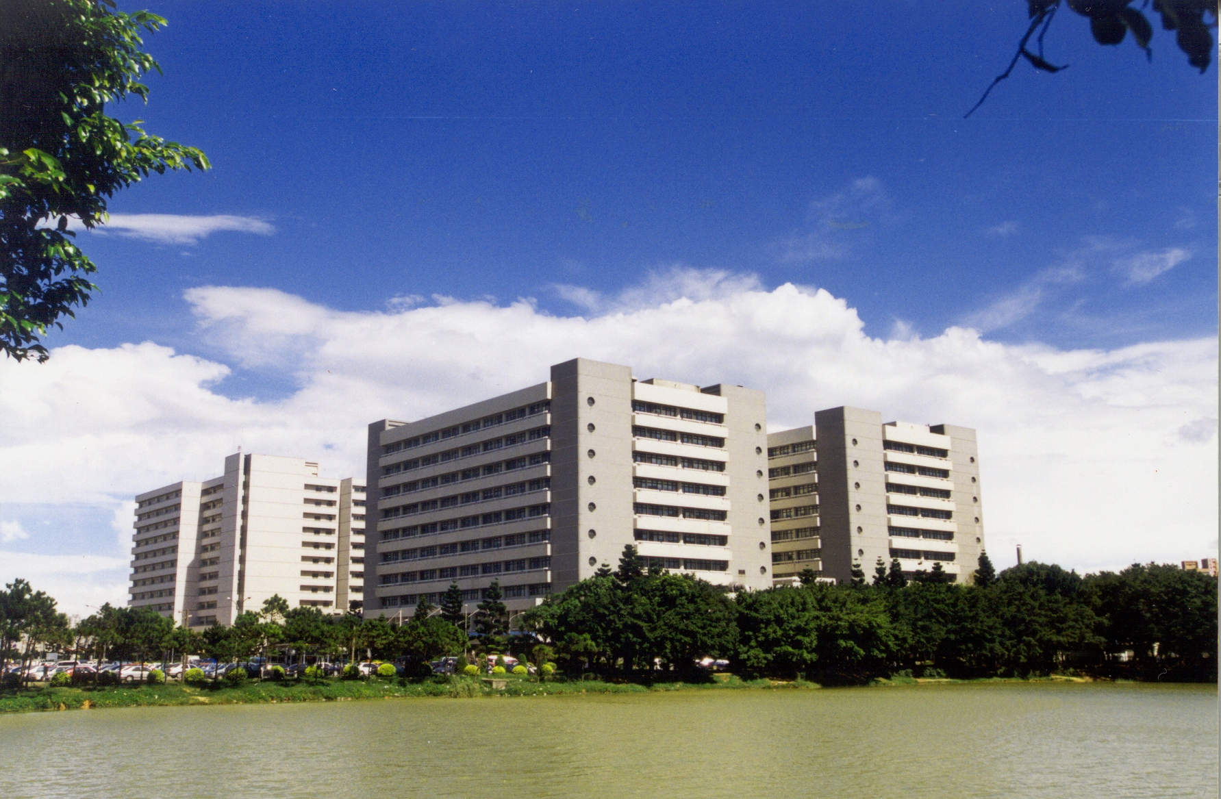
Zhudong Township is an urban township in central Hsinchu County, Taiwan. Part of Hsinchu Science Park is in Zhudong. Also located in Zhudong is the main campus of the Industrial Technology Research Institute (ITRI). Zhudong is approximately 20 minutes drive from Hsinchu town center on one of two freeways, route 3 North, which passes nearby and route 68 East which proceeds directly through Zhudong. Name Literally, ''Zhudong'' means "bamboo east" but in this context, ''zhu'' is short for "Hsinchu". Thus, Zhudong lies east of Hsinchu (''cf.'' Zhubei which lies north 'bei''of Hsinchu.) The former name of the area was ''Chhiū-kí-nâ'' (), literally "' forest" with the present name adopted under Japanese rule in 1920. Geography * Area: * Population: 96,831 (January 2017) Administrative divisions Shangping, Ruifeng, Ruanqiao, Yuandong, Shangguan, Dongning, Zhongzheng, Daxiang, Zhongshan, Nanhua, Donghua, Shanghua, Jilin, Renai, Zhudong, Zhongxiao, Rongle, Ronghua, Wufeng, ... [...More Info...] [...Related Items...] OR: [Wikipedia] [Google] [Baidu] |
Fuxing District, Taoyuan
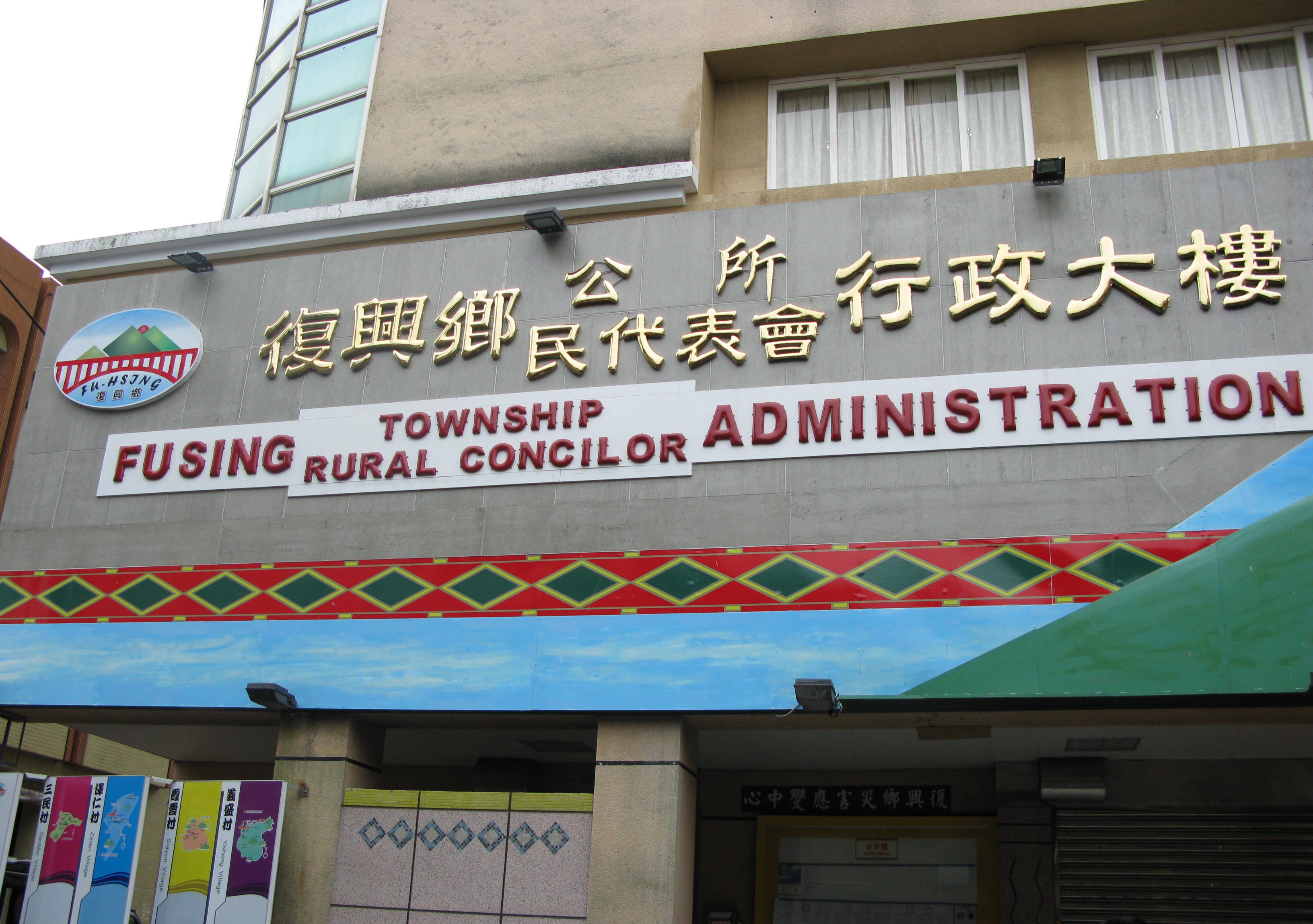
Fuxing District ( Atayal: Pyasan; ), formerly known as Fuxing Township or Fu-Hsing Township () is a mountain indigenous district in eastern Taoyuan City, Taiwan. The main population is the Atayal people of the Taiwanese aborigines. Lalashan (拉拉山) is a major feature of Fuxing, and the Shimen Reservoir, formed by Shimen Dam, is a popular nearby site. Fuxing District is, by area, the largest district in Taoyuan City. History Under Japanese rule, Fuxing District was classified as Aboriginal Land (蕃地). In August 2015, the Heliu community in the district were completely buried by landslide triggered by Typhoon Soudelor. Geography * Area: 350.78 km2 (135.4 sq mi) * Population: 10,932 people (January 2016) Administrative divisions Gaoyi, Hualing, Kuihui, Luofu, Sanguang, Sanmin, Xiayun, Yicheng, Zeren and Zhangxing Village. Mountains over 1500 metres * Najieshan 那結山, 1,520 m (4,987 ft) * Mawangzenglushan 馬望曾呂山, 1,577 m (5,174 ft ... [...More Info...] [...Related Items...] OR: [Wikipedia] [Google] [Baidu] |
Longtan District, Taoyuan
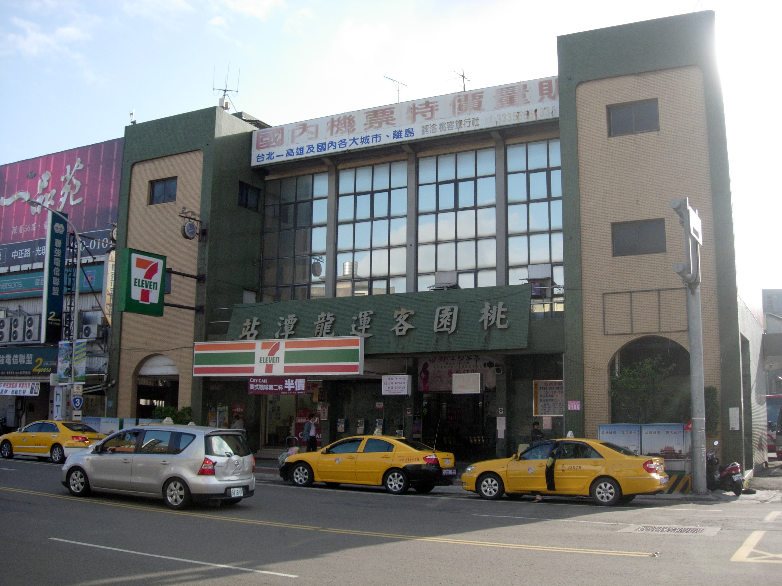
Longtan District () is a rural District (Taiwan), district in southern Taoyuan City, Taiwan. Longtan is home to the headquarters of the Republic of China Army. The township is known for the Buddhist temple in the center of Longtan Lake and the large Bainien community project. The area is surrounded by high-tech industries and mountains. Longtan is home to a number of military bases, and a few research installations. National Chung-Shan Institute of Science and Technology and Institute of Nuclear Energy Research . are two of the more well known ones. History Longtan used to be a Township (Taiwan), rural township of the former Taoyuan City, Taoyuan County. On 25 Decem ...[...More Info...] [...Related Items...] OR: [Wikipedia] [Google] [Baidu] |
Daxi District
Daxi District (), formerly known as Daxi Township (), is a district in eastern Taoyuan City, Taiwan. In March 2012, it was named one of the ''Top 10 Small Tourist Towns'' by the Tourism Bureau of Taiwan. History The Daxi area was occupied for several thousand years by the Atayal people. The Atayal called the local river (modern-day Dahan Creek) ''Takoham'' in their native Austronesian language. This gave rise to similar names such as ''Toa-kho-ham'' (; also ) in Hokkien and ''Taikokan'' in Japanese via transliteration. Eighteenth-century Han settlement in the Taipei Basin led many Atayal families to relocate upriver, though some Atayal stayed and mingled with the newcomers. The settlement later became an important trading post in the 19th century. In 1803, open fighting broke out between two rival factions of Han settlers in Taipei, and many refugees fled south for safety. Among the refugees was the Lin Ben Yuan Family, one of the wealthiest clans in Taiwan at the time. ... [...More Info...] [...Related Items...] OR: [Wikipedia] [Google] [Baidu] |
Bade District
Bade District () is a district in the central part of Taoyuan City, Taiwan (Republic of China.) It is the smallest district by area in Taoyuan City. History Bade City was originally established as Bakuaicuo (八塊厝) during Qing Dynasty rule. During the period of Japanese rule, it was called ''Hachitoku Village'' (八塊庄), and was governed under Tōen District (桃園郡) of Shinchiku Prefecture. After the handover of Taiwan from Japan to the Republic of China, the area was established as a rural township and named Bade Township in 1946. In 1995, it was upgraded as a county-administered city named Bade City (). On 25 December 2014, it became Bade District. Geography Area: Population: 209,148 (August 2022) Administrative divisions The district comprises 48 villages: Bailu, Daai, Daan, Dachang, Dacheng, Dafa, Dafu, Dahan, Dahe, Dahong, Dahua, Dajiang, Daming, Danan, Daqian, Daqing, Daren, Darong, Dashun, Datong, Daxin, Daxing, Dayi, Dayong, Dazheng, Dazhi, Dazhong, D ... [...More Info...] [...Related Items...] OR: [Wikipedia] [Google] [Baidu] |
Guishan District
Guishan District () is a district in northeastern Taoyuan City, Taiwan. History Guishan was formerly known as ''Kulunsia'' ( (Ku-lun-siā))). The name originated from a hill by the Mercy Buddha Temple of Shou Shan Rock, built in 7th year of the Qianlong Period of the Qing Dynasty. The plains aborigines and Ketagalan tribes were located here. From 1920 to 1945, was under Tōen District, Shinchiku Prefecture. In 1950, it was renamed to ''Kueishan''. On 25 December 2014, it was upgraded from Guishan Township to a district called Guishan District. Geography * Area: 75.50km2 * Population: 168,200 people (May 2022) Administrative divisions Ching-chung, Liou-kuang, Chung-hsing, Hsin-hsing, Hsin-lu, Kuei-shan, Ta-tung, Shan-ting, Shan-teh, Shan-fu, Hsing-fu, Lung-shou, Lung-hwa, Huei-lung, Ling-ting, Hsin-ling, Tu-keng, Fu-yuan, Chiou-lu, Ta-keng, Fung-shu, Leh-shan, Chang-keng, Kung-hsi, Ta-kang, Ta-hu, Ta-hwa, Wuen-hua, Nan-shang and Nan-mei Village. Government and infrastructur ... [...More Info...] [...Related Items...] OR: [Wikipedia] [Google] [Baidu] |
Dayuan District
Dayuan District (), formerly known as Dayuan Township () is a coastal district in northwestern Taoyuan City, Taiwan. History Dayuan District was originally named ''Toa-khu-hng'' (), literally means a vast (大) vegetable garden (坵園) as an old Chinese name). In the earlier days, cottage scattered around the district with very limited settlers that grows vegetable and sweet potatoes. Hoklo people migrated to the area during the rule of Kangxi. In avoidance of the invasion of Yue people, walled villages were built around the settlements of Hoklo people. It was renamed during Japanese rule, and was part of Tōen District, Shinchiku Prefecture. After the handover of Taiwan from Japan to the Republic of China, it was called Dayuan Township. It became Dayuan District in 2014, when Taoyuan County became a special municipality (and the former city of Taoyuan became a district of the special municipality). Geography Demographics The population in 1986 was 56,995. By the end o ... [...More Info...] [...Related Items...] OR: [Wikipedia] [Google] [Baidu] |
Luzhu District, Taoyuan
Luzhu District () is a district in Taoyuan City, Taiwan, home to 165,914 people. The downtown district, known as Nankan, is now a high density, high-rise suburb for many who work in Taipei and Taoyuan City. The first opened shopping center in Taiwan, Taimall, located in Nankan, is a weekend destination for many Taoyuan regional residents. Taimall is located around north-northwest of the Nankan interchange, , on National Freeway 1. History Luzhu was upgraded to a county-administered city from the former rural township of Taoyuan County on 3 June 2014. On 25 December 2014, it was upgraded again to a district named Luzhu District of Taoyuan City. Geography * Area: * Population: 155,626 (January 2016) Administrative divisions The district is administered as 37 villages: Dazhu, Fuchang, Fulu, Fuxing, Fuzhu, Haihu, Hongzhu, Jinxing, Jinzhong, Jixiang, Kengkou, Kengzi, Luxing, Luzhu, Nankan, Nanrong, Nanxing, Neicuo, Shanbi, Shangxing, Shangzhu, Shanjiao, Shunxing, ... [...More Info...] [...Related Items...] OR: [Wikipedia] [Google] [Baidu] |
Taoyuan District
Taoyuan District (), formerly known as Taoyuan City () prior to the establishment of the special municipality of Taoyuan in 2014, is a district of Taoyuan City in northwestern Taiwan. The municipal seat of Taoyuan City is situated within its borders. It is the most populous district among the 13 districts of Taoyuan City, and the second most populous among the districts of Taiwan, with the most populous being Banqiao District in New Taipei City. History Taoyuan is the native home of the plains tribes of Taiwanese aborigines. Taoyuan's old name was ''Toahong'' () since there used to be many peach blossoms in the area. Empire of Japan Under Japanese rule, the area was part of established in November 1901. In 1920, it was renamed , and incorporated into ''Tōen'' District, Shinchiku Prefecture. Republic of China After the handover of Taiwan from Japan to the Republic of China, it was reorganized as ''Taoyuan Town'' of Taoyuan County. On 21 April 1971, the town was upgraded ... [...More Info...] [...Related Items...] OR: [Wikipedia] [Google] [Baidu] |
.jpg)

