|
Sivalik
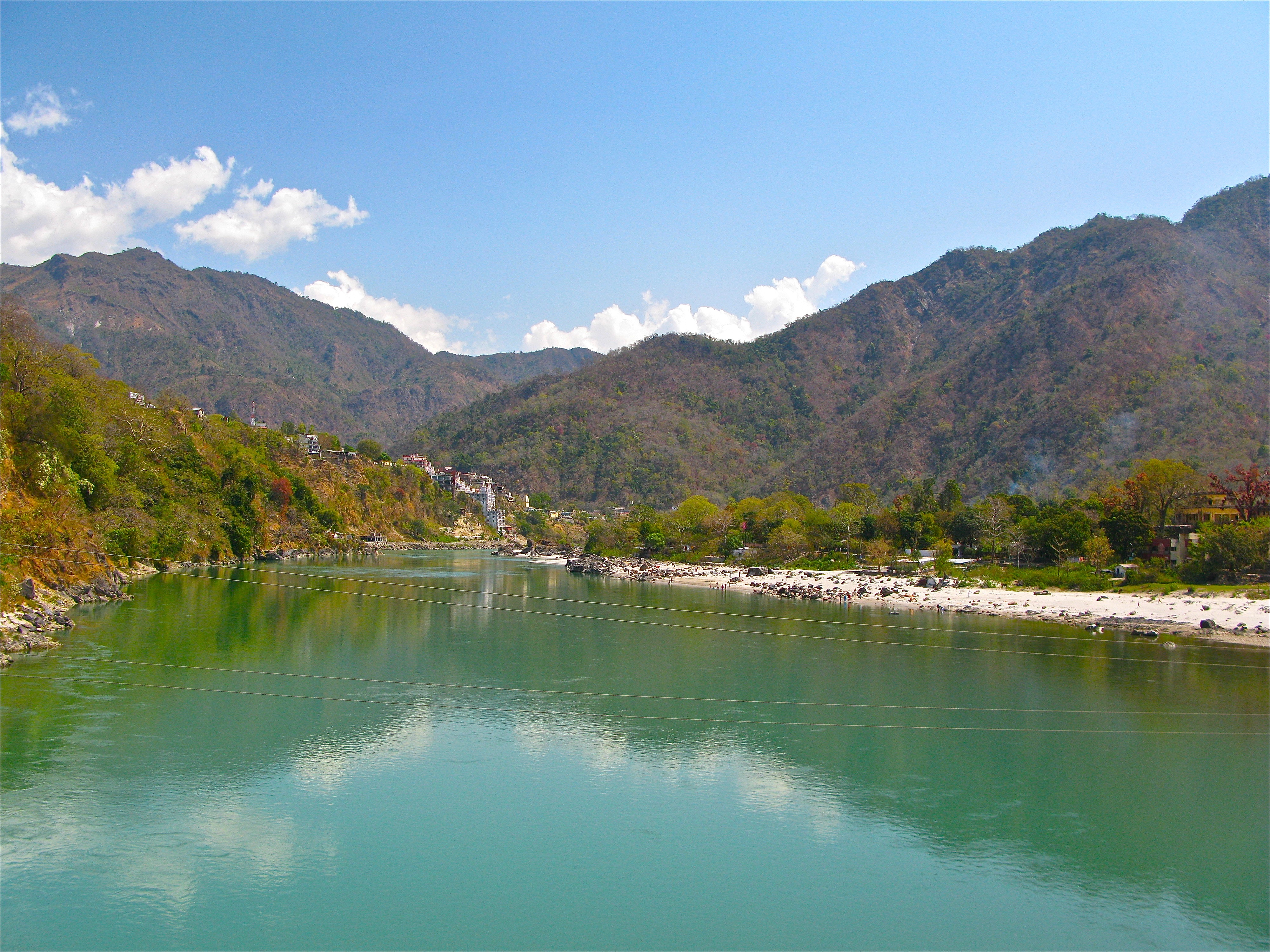
The Sivalik Hills, also known as the Shivalik Hills and Churia Hills, are a mountain range of the outer Himalayas that stretches over about from the Indus River eastwards close to the Brahmaputra River, spanning the northern parts of the Indian subcontinent. It is wide with an average elevation of . Between the Teesta River, Teesta and Raidāk Rivers in Assam is a gap of about . "Sivalik" literal translation, literally means 'tresses of Shiva'. Sivalik region is home to the Soanian archaeological culture. Geology Geologically, the Sivalik Hills belong to the Tertiary Deposition (geology), deposits of the outer Himalayas. They are chiefly composed of sandstone and Conglomerate (geology), conglomerate rock formations, which are the solidified Detritus (geology), detritus of the Himalayas to their north; they are poorly consolidated. The remnant magnetisation of siltstones and sandstones indicates that they were deposited 16–5.2 million years ago. In Nepal, the Ghaghara Riv ... [...More Info...] [...Related Items...] OR: [Wikipedia] [Google] [Baidu] |
Terai
The Terai or Tarai is a lowland region in northern India and southern Nepal that lies south of the outer foothills of the Himalayas, the Sivalik Hills, and north of the Indo-Gangetic Plain. This lowland belt is characterised by tall grasslands, scrub savannah, Shorea robusta, sal forests and clay rich swamps. In North India, the Terai spreads from the Yamuna River eastward across Haryana, Uttarakhand, Uttar Pradesh, Bihar and West Bengal. The Terai is part of the Terai-Duar savanna and grasslands ecoregion. The corresponding lowland region in West Bengal, Bangladesh, Bhutan and Assam in the Brahmaputra River basin is called 'Dooars'. In Nepal, the term is applied to the part of the country situated north of the Indo-Gangetic Plain. Nepal's Terai stretches over , about 23.1% of Nepal's land area, and lies at an elevation of between . The region comprises more than 50 wetlands. North of the Terai rises the Bhabar, a narrow but continuous belt of forest about wide. Etymology The Urdu ... [...More Info...] [...Related Items...] OR: [Wikipedia] [Google] [Baidu] |
Soanian
The Soanian culture is a prehistoric technological culture from the Siwalik Hills in the Indian subcontinent. Quote: “Soanian and Soanian‐like assemblages are known throughout the entire Siwalik or Sub‐ Himalayan region, from Pakistan to northeast India including Nepal...” It is named after the Soan Valley in Pakistan. Soanian sites are found along the Siwalik region in present-day India, Nepal and Pakistan.Chauhan, Parth R., ''An Overview of the Siwalik Acheulian & Reconsidering Its Chronological Relationship with the Soanian – A Theoretical Perspective''. The Soanian culture has been approximated to have taken place during the Middle Pleistocene period or the mid-Holocene epoch (Northgrippian). Debates still goes on today regarding the exact period occupied by the culture due to artefacts often being found in non-datable surface context. This culture was first discovered and named by the anthropology and archaeology team led by Helmut De Terra and Thomas Thomson Pate ... [...More Info...] [...Related Items...] OR: [Wikipedia] [Google] [Baidu] |
Bhabar
Bhabar or Bhabhar ( Kumaoni: bhābar) is a region south of the Lower Himalayas and the Sivalik Hills in Kumaon, India, containing some of the largest cities of Kumaon, Haldwani and Ramnagar, both in Nainital District. It is the alluvial apron of sediments washed down from the Sivaliks along the northern edge of the Indo-Gangetic Plain. Etymology The name ''Bhabar'' refers to a local tall-growing grass, ''Eulaliopsis binata'', used for the manufacture of paper and rope. Overview Bhabar plains are located in Kumaon. Bhabar is the gently-sloping coarse alluvial zone below the Sivalik Hills (outermost foothills of the Himalayas) where streams disappear into permeable sediments. The underground water level is deep in this region, then rises to the surface in the Terai below where coarse alluvium gives way to less permeable silt and clay. The Ganges River lies to the west and Sharda to the east. Being at the junction of Himalayas and the Indo-Gangetic Plain, Bhabar contains almost ... [...More Info...] [...Related Items...] OR: [Wikipedia] [Google] [Baidu] |
Ghaghara River
Ghaghara, also called Karnali, is a perennial trans-boundary river originating on the Tibetan Plateau near Lake Manasarovar. The Karnali cuts through the Himalayas in Nepal and joins the Sharda River at Brahmaghat in India. Together they form the Ghaghara River, a major left bank tributary of the Ganges. With a length of it is the longest river in Nepal. The total length of Ghaghara River up to its confluence with the Ganges at Revelganj in Bihar is . It is the largest tributary of the Ganges by volume and the second longest tributary of the Ganges by length after Yamuna. Course The Ghaghara river rises in the southern slopes of the Himalayas in Tibet, in the glaciers of Mapchachungo, at an elevation of about above sea level. The river flows south through one of the most remote and least explored areas of Nepal as the Karnali River. The Seti River drains the western part of the catchment and joins the Karnali River in Doti District north of Dundras hill. Another tributary ... [...More Info...] [...Related Items...] OR: [Wikipedia] [Google] [Baidu] |
Nepal
Nepal (; ne, नेपाल ), formerly the Federal Democratic Republic of Nepal ( ne, सङ्घीय लोकतान्त्रिक गणतन्त्र नेपाल ), is a landlocked country in South Asia. It is mainly situated in the Himalayas, but also includes parts of the Indo-Gangetic Plain, bordering the Tibet Autonomous Region of China to the north, and India in the south, east, and west, while it is narrowly separated from Bangladesh by the Siliguri Corridor, and from Bhutan by the Indian state of Sikkim. Nepal has a diverse geography, including fertile plains, subalpine forested hills, and eight of the world's ten tallest mountains, including Mount Everest, the highest point on Earth. Nepal is a multi-ethnic, multi-lingual, multi-religious and multi-cultural state, with Nepali as the official language. Kathmandu is the nation's capital and the largest city. The name "Nepal" is first recorded in texts from the Vedic period of the India ... [...More Info...] [...Related Items...] OR: [Wikipedia] [Google] [Baidu] |


