|
Rochdale Interchange
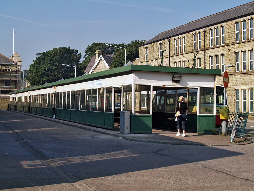
Rochdale Interchange is a transport hub located in the town of Rochdale in Greater Manchester, England, run by Transport for Greater Manchester. It was opened in November 2013, integrating a new bus station with Rochdale Town Centre tram stop It has the following facilities: Public Toilets, Disabled Toilets, Cycle ParkingCycle Hub McColl's (convenience store)Caffe Grande Abaco(coffee shop), Taxi Rank, Free Cash MachineTFGM Travelshop. Services The majority of bus service that serve Rochdale are run by Rosso, while the remainder of services are run by Diamond Bus North West, First West Yorkshire, Go North West, First Greater Manchester and Team Pennine. There are frequent buses from Rochdale to destinations that include Accrington, Ashton-under-Lyne, Bolton, Burnley, Bury, Halifax, Manchester, Oldham, Rawtenstall and Todmorden, as well as other parts of the Rochdale borough including Castleton, Heywood, Hollingworth Lake, Kirkholt, Littleborough, Middleton, Milnrow, Newh ... [...More Info...] [...Related Items...] OR: [Wikipedia] [Google] [Baidu] |
Rochdale
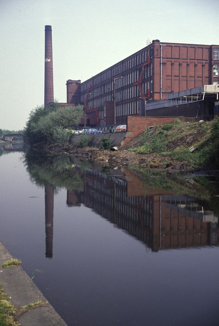
Rochdale ( ) is a large town in Greater Manchester, England, at the foothills of the South Pennines in the dale on the River Roch, northwest of Oldham and northeast of Manchester. It is the administrative centre of the Metropolitan Borough of Rochdale, which had a population of 211,699 in the 2011 census. Located within the historic boundaries of the county of Lancashire. Rochdale's recorded history begins with an entry in the Domesday Book of 1086 under "Recedham Manor". The ancient parish of Rochdale was a division of the hundred of Salford and one of the largest ecclesiastical parishes in England, comprising several townships. By 1251, Rochdale had become important enough to have been granted a Royal charter. Rochdale flourished into a centre of northern England's woollen trade, and by the early 18th century was described as being "remarkable for many wealthy merchants". Rochdale rose to prominence in the 19th century as a mill town and centre for textile manufacture ... [...More Info...] [...Related Items...] OR: [Wikipedia] [Google] [Baidu] |
Burnley
Burnley () is a town and the administrative centre of the wider Borough of Burnley in Lancashire, England, with a 2001 population of 73,021. It is north of Manchester and east of Preston, at the confluence of the River Calder and River Brun. The town is located near the countryside to the south and east, with the towns of Padiham and Brierfield to the west and north respectively. It has a reputation as a regional centre of excellence for the manufacturing and aerospace industries. The town began to develop in the early medieval period as a number of farming hamlets surrounded by manor houses and royal forests, and has held a market for more than 700 years. During the Industrial Revolution it became one of Lancashire's most prominent mill towns; at its peak, it was one of the world's largest producers of cotton cloth and a major centre of engineering. Burnley has retained a strong manufacturing sector, and has strong economic links with the cities of Manchester and Leed ... [...More Info...] [...Related Items...] OR: [Wikipedia] [Google] [Baidu] |
Norden, Greater Manchester
Norden is a suburban village in the Metropolitan Borough of Rochdale, in Greater Manchester, England. Historically part of Lancashire, the village is situated on the western outskirts of Rochdale. There is a Rochdale Ward with the same name. At the 2011 Census, this ward had a population of 9,766. As a result of changes to boundaries, Norden ward is divided between the Heywood and Middleton and Rochdale constituencies, represented in Parliament by Chris Clarkson (of the Conservative Party) and Tony Lloyd (of the Labour Party). The main road through the village is the A680 Edenfield Road, which runs from Rochdale town centre to the village of Edenfield within the Rossendale borough of Lancashire. Norden is the home of Norden Cricket Club, who play in the Central Lancashire League The Central Lancashire Cricket League (CLCL) was a fifteen team cricket league, traditionally based in Lancashire and the West Riding of Yorkshire. It was then based in Greater Manchester and West ... [...More Info...] [...Related Items...] OR: [Wikipedia] [Google] [Baidu] |
Newhey
Newhey (archaically New Hey) is a suburban village in the Milnrow area of the Metropolitan Borough of Rochdale,Rochdale Metropolitan Borough Council (N.D.), p. 32. in Greater Manchester, England. It lies at the foot of the South Pennines, by Junction 21 of the M62 motorway and on the River Beal, east-southeast of Rochdale, northeast of Manchester. Historically a part of Lancashire, Newhey was anciently a hamlet within the township of Butterworth. It was described in 1828 as "consisting of several ranges of cottages and two public houses".Butterworth (1828), p. 113. In the early 19th century a major road was built through Newhey from Werneth to Littleborough. Newhey was incorporated into the Milnrow Urban District in 1894. Newhey expanded as part of an unplanned process of urbanisation, brought on by the introduction of textile manufacture during the Industrial Revolution, and is now home to the Ellenroad Steam Museum - the engine house of the former Ellenroad R ... [...More Info...] [...Related Items...] OR: [Wikipedia] [Google] [Baidu] |
Milnrow
Milnrow is a suburban town within the Metropolitan Borough of Rochdale, in Greater Manchester, England. It lies on the River Beal at the foothills of the South Pennines, and forms a continuous urban area with Rochdale. It is east of Rochdale town centre, north-northeast of Manchester, and spans urban, suburban and rural locations—from Windy Hill in the east to the Rochdale Canal in the west. Milnrow is adjacent to junction 21 of the M62 motorway, and includes the village of Newhey, and hamlets at Tunshill and Ogden. Historically in Lancashire, Milnrow during the Middle Ages was one of several hamlets in the township of Butterworth and parish of Rochdale. The settlement was named by the Anglo-Saxons, but the Norman conquest of England resulted in its ownership by minor Norman families, such as the Schofields and Cleggs. In the 15th century, their descendants successfully agitated for a chapel of ease by the banks of the River Beal, triggering its development as the main s ... [...More Info...] [...Related Items...] OR: [Wikipedia] [Google] [Baidu] |
Middleton, Greater Manchester
Middleton is a town in the Metropolitan Borough of Rochdale, Greater Manchester, England, on the River Irk southwest of Rochdale and northeast of Manchester city centre. Middleton had a population of 42,972 at the 2011 Census. It lies on the northern edge of Manchester, with Blackley to the south and Moston to the south east. Historically part of Lancashire, Middleton's name comes from it being the centre of several circumjacent settlements. It was an ecclesiastical parish of the hundred of Salford, ruled by aristocratic families. The Church of St Leonard is a Grade I listed building. The Flodden Window in the church's sanctuary is thought to be the oldest war memorial in the United Kingdom, memorialising the archers of Middleton who fought at the Battle of Flodden in 1513. In 1770, Middleton was a village of twenty houses, but in the 18th and 19th centuries it grew into a thriving and populous seat of textile manufacture and it was granted borough status in 1886. Langley ... [...More Info...] [...Related Items...] OR: [Wikipedia] [Google] [Baidu] |
Littleborough, Greater Manchester
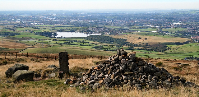
Littleborough ( ) is a town in the Metropolitan Borough of Rochdale, Greater Manchester, England, in the upper Roch Valley by the foothills of the South Pennines, northeast of Rochdale and northeast of Manchester; Milnrow and the M62 motorway are to the south, and the rural uplands of Blackstone Edge to the east. In 2001, Littleborough, and its suburbs of Calderbrook, Shore and Smithy Bridge,. had a population of 13,807. Within the boundaries of the historic county of Lancashire, Littleborough and its surroundings have provided evidence of Neolithic, Celtic, Roman and Anglo-Saxon activity in the area. During the Middle Ages, Littleborough was a hamlet in the manor of Hundersfield, parish of Rochdale and hundred of Salford.. It was focussed upon the junction of two ancient routes over the Pennines — one of which may have been a Roman road — that joined to cross the River Roch. By 1472, Littleborough consisted of a chapel, a cluster of cottages, and an inn, and its inha ... [...More Info...] [...Related Items...] OR: [Wikipedia] [Google] [Baidu] |
Hollingworth Lake
Hollingworth Lake is a reservoir at Smithy Bridge in Littleborough, Greater Manchester, England. It was originally built as the main water source for the Rochdale Canal, but developed as a tourist resort from the 1860s. Hotels were built around it, helped by the arrival of the railway in 1839, which brought day-trippers and weekend visitors from Manchester, Bradford and Leeds. The popularity of the lake as a resort declined in the early twentieth century and the area was used as an army camp in the First World War. The canal company sold the reservoir to Oldham and Rochdale Corporations for water supply in 1923. After the Second World War, boating rights were bought by Rochdale Council, who developed the area into the Hollingworth Lake Country Park in 1974. There has been a steady increase in facilities since, and it is now a thriving centre for water sports and other activities. Hollingworth Lake Rowing Club has been in continuous existence since 1872. History In 1794, an ... [...More Info...] [...Related Items...] OR: [Wikipedia] [Google] [Baidu] |
Heywood, Greater Manchester
Heywood is a town in the Metropolitan Borough of Rochdale, Greater Manchester, England, in the historic county of Lancashire. It had a population of 28,205 at the 2011 Census. The town lies on the south bank of the River Roch, east of Bury, southwest of Rochdale, and north of Manchester. Middleton lies to the south, whilst to the north is the Cheesden Valley, open moorland, and the Pennines. Heywood's nickname is Monkey Town. The Anglo-Saxons cleared the densely wooded area, dividing it into heys or fenced clearings. In the Middle Ages, Heywood formed a chapelry in the township, around Heywood Hall, a manor house owned by a family with that surname. Farming was the main industry of a sparsely populated rural area. The population supplemented their incomes by hand-loom woollen weaving in the domestic system. The factory system in the town can be traced to a spinning mill in the late 18th century. Following the introduction of textile manufacture during the Industrial R ... [...More Info...] [...Related Items...] OR: [Wikipedia] [Google] [Baidu] |
Todmorden
Todmorden ( ; ) is a market town and civil parishes in England, civil parish in the Upper Calder Valley in Calderdale, West Yorkshire, England. It is north-east of Manchester, south-east of Burnley and west of Halifax, West Yorkshire, Halifax. In 2011 it had a population of 15,481. Todmorden is at the confluence of three steep-sided Pennines, Pennine valleys and is surrounded by moorlands with outcrops of Aeolian processes, sandblasted gritstone. The Historic counties of England, historic boundary between Yorkshire and Lancashire is the River Calder, West Yorkshire, River Calder and its tributary, Walsden Water, which run through the town. The administrative border was altered by the Local Government Act 1888 placing the whole of the town within the West Riding of Yorkshire, West Riding. The town is served by and railway stations. History Toponymy The name Todmorden first appears in 1641. The town had earlier been called Tottemerden, Totmardene, Totmereden or Totmerd ... [...More Info...] [...Related Items...] OR: [Wikipedia] [Google] [Baidu] |
Rawtenstall
Rawtenstall () is a town in the borough of Rossendale, Lancashire, England. The town lies 15 miles/24 km north of Manchester, 22 miles/35 km east of Preston and 45 miles/70 km south east of the county town of Lancaster. The town is at the centre of the Rossendale Valley. It had a population of 23,000. Toponym The name Rawtenstall has been given two possible interpretations. The older is a combination of the Middle English ''routen'' ('to roar or bellow'), from the Old Norse ''rauta'' and the Old English stall 'pool in a river' (Ekwall 1922, 92). The second, more recent one, relates to Rawtenstall's identification as a cattle farm in 1324 and combines the Old English ''ruh'' 'rough' and ''tun-stall'' 'the site of a farm or cow-pasture', or possibly, 'buildings occupied when cattle were pastured on high ground' History The earliest settlement at Rawtenstall was probably in the early Middle Ages, during the time when it formed part of the Rossendale Valley in the Honour of Clit ... [...More Info...] [...Related Items...] OR: [Wikipedia] [Google] [Baidu] |
Oldham
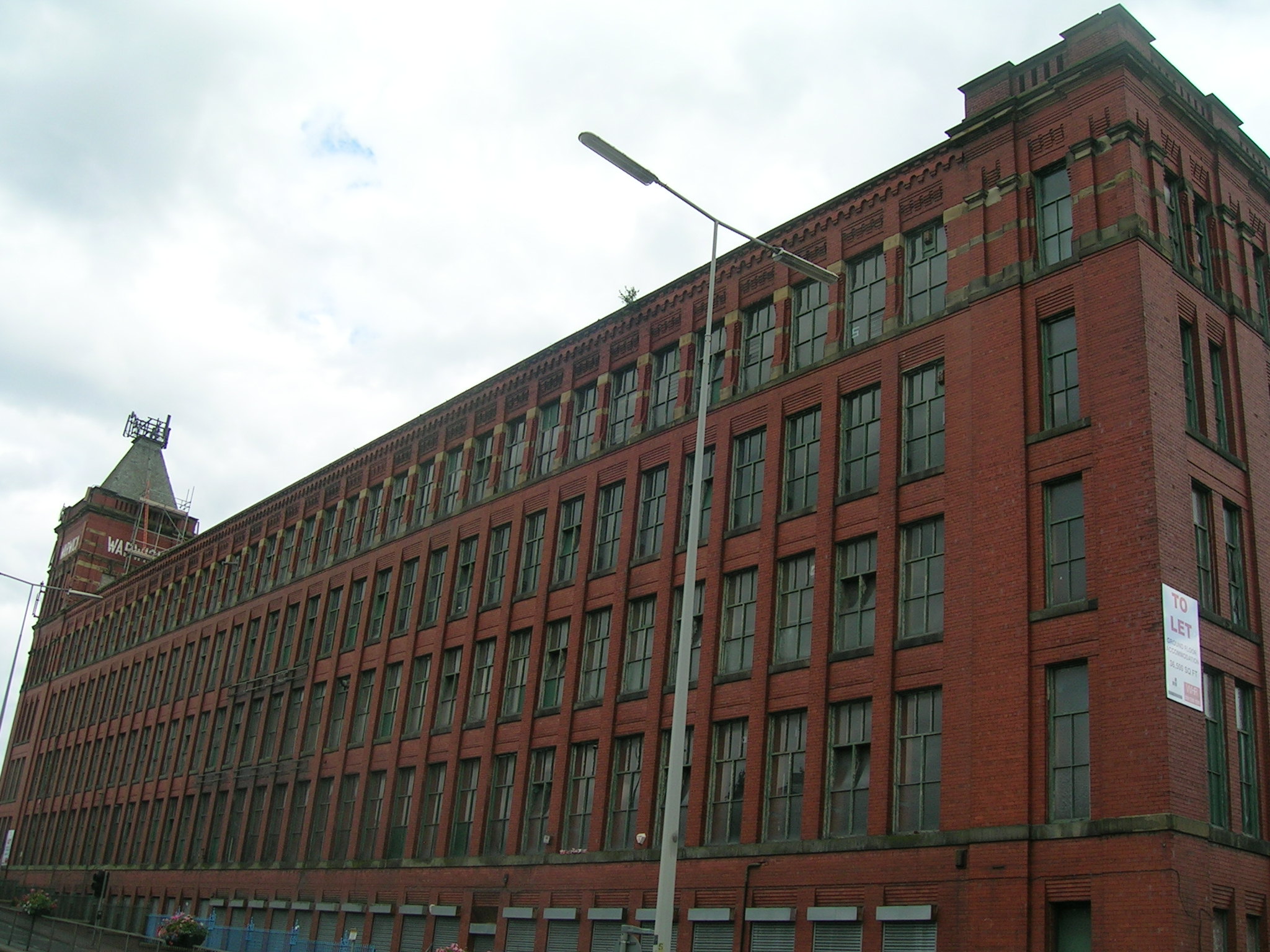
Oldham is a large town in Greater Manchester, England, amid the Pennines and between the rivers Irk and Medlock, southeast of Rochdale and northeast of Manchester. It is the administrative centre of the Metropolitan Borough of Oldham, which had a population of 237,110 in 2019. Within the boundaries of the historic county of Lancashire, and with little early history to speak of, Oldham rose to prominence in the 19th century as an international centre of textile manufacture. It was a boomtown of the Industrial Revolution, and among the first ever industrialised towns, rapidly becoming "one of the most important centres of cotton and textile industries in England." At its zenith, it was the most productive cotton spinning mill town in the world,. producing more cotton than France and Germany combined. Oldham's textile industry fell into decline in the mid-20th century; the town's last mill closed in 1998. The demise of textile processing in Oldham depressed and heavily ... [...More Info...] [...Related Items...] OR: [Wikipedia] [Google] [Baidu] |


.jpg)


