|
Podczerwone
Podczerwone is a village in the administrative district of Gmina Czarny Dunajec, within Nowy Targ County, Lesser Poland Voivodeship Lesser Poland Voivodeship or Lesser Poland Province (in pl, województwo małopolskie ), also known as Małopolska, is a voivodeship (province), in southern Poland. It has an area of , and a population of 3,404,863 (2019). It was created on 1 ..., in southern Poland, close to the border with Slovakia. It lies approximately southwest of Nowy Targ and south of the regional capital Kraków. The village of Podczerwone was founded by Szymon Czerwinski under the Royal Decree of Sigismund III Vasa in 1604 giving the property privileges in Western Tatra Mountains and Czarny Dunajec river valley. The privileges included the Dolina Lejowa, Polana Bialy Potok, Hawrylówka, Roztoki, Polynica, the forests of Furtaska, Kryta and Krzyskówka. During Poland's Partition Period (123 years) the region remained under Austrian jurisdiction and the town an ... [...More Info...] [...Related Items...] OR: [Wikipedia] [Google] [Baidu] |
Gmina Czarny Dunajec
__NOTOC__ Gmina Czarny Dunajec is a rural gmina (administrative district) in Nowy Targ County, Lesser Poland Voivodeship, in southern Poland, on the Slovak border. Its seat is the village of Czarny Dunajec, which lies approximately west of Nowy Targ and south of the regional capital Kraków. The gmina covers an area of , and as of 2020 its total population is 22,592. Villages Gmina Czarny Dunajec contains the villages and settlements of Chochołów, Ciche, Czarny Dunajec, Czerwienne, Dział, Koniówka, Odrowąż, Piekielnik, Pieniążkowice, Podczerwone, Podszkle, Ratułów, Stare Bystre, Wróblówka and Załuczne. Neighbouring gminas Gmina Czarny Dunajec is bordered by the gminas of Biały Dunajec, Jabłonka, Kościelisko, Nowy Targ, Poronin, Raba Wyżna and Szaflary. It also borders Slovakia. References {{Nowy Targ County Czarny Dunajec Czarny Dunajec , ( sk, Čierny Dunajec) is a town located in southern Poland near the Polish- Slovak border. Czarny Dunaj ... [...More Info...] [...Related Items...] OR: [Wikipedia] [Google] [Baidu] |
Polish Highlanders Alliance Of North America
The Polish Highlanders Alliance of America ( pl. ''Związek Podhalan w Ameryce Północnej'') was founded in 1929 in Chicago as an organization that unites all other Góral organizations in the United States. Most of Chicago's Góral community is concentrated on Chicago's Southwest Side along Archer Avenue where the headquarters, also known as the "Highlander Home" ("Dom Podhalan" in Polish) is located. The Highlander House is styled as a Carpathian chalet in the traditional Zakopane Style of Architecture. Located at 4808 S. Archer Avenue in Chicago, the structure underwent renovation under the eye of famed artist Jerzy Kenar in 2005. In 2012 the Highlander House was upgraded with state of the art audio and video equipment. The Polish Highlanders Alliance of North America is a nonprofit organization run by an executive board. The members of the current (2011-2014) board are: ::Andrzej Gedlek - president ::Karolina Walkosz-Strzelec - vice president ::Michal Ploskonka- vice pre ... [...More Info...] [...Related Items...] OR: [Wikipedia] [Google] [Baidu] |
Countries Of The World
The following is a list providing an overview of sovereign states around the world with information on their status and recognition of their sovereignty. The 206 listed states can be divided into three categories based on membership within the United Nations System: 193 member states of the United Nations, UN member states, 2 United Nations General Assembly observers#Present non-member observers, UN General Assembly non-member observer states, and 11 other states. The ''sovereignty dispute'' column indicates states having undisputed sovereignty (188 states, of which there are 187 UN member states and 1 UN General Assembly non-member observer state), states having disputed sovereignty (16 states, of which there are 6 UN member states, 1 UN General Assembly non-member observer state, and 9 de facto states), and states having a political status of the Cook Islands and Niue, special political status (2 states, both in associated state, free association with New Zealand). Compi ... [...More Info...] [...Related Items...] OR: [Wikipedia] [Google] [Baidu] |
Kraków
Kraków (), or Cracow, is the second-largest and one of the oldest cities in Poland. Situated on the Vistula River in Lesser Poland Voivodeship, the city dates back to the seventh century. Kraków was the official capital of Poland until 1596 and has traditionally been one of the leading centres of Polish academic, economic, cultural and artistic life. Cited as one of Europe's most beautiful cities, its Old Town with Wawel Royal Castle was declared a UNESCO World Heritage Site in 1978, one of the first 12 sites granted the status. The city has grown from a Stone Age settlement to Poland's second-most-important city. It began as a hamlet on Wawel Hill and was reported by Ibrahim Ibn Yakoub, a merchant from Cordoba, as a busy trading centre of Central Europe in 985. With the establishment of new universities and cultural venues at the emergence of the Second Polish Republic in 1918 and throughout the 20th century, Kraków reaffirmed its role as a major national academic and a ... [...More Info...] [...Related Items...] OR: [Wikipedia] [Google] [Baidu] |
Chicago
(''City in a Garden''); I Will , image_map = , map_caption = Interactive Map of Chicago , coordinates = , coordinates_footnotes = , subdivision_type = Country , subdivision_name = United States , subdivision_type1 = State , subdivision_type2 = Counties , subdivision_name1 = Illinois , subdivision_name2 = Cook and DuPage , established_title = Settled , established_date = , established_title2 = Incorporated (city) , established_date2 = , founder = Jean Baptiste Point du Sable , government_type = Mayor–council , governing_body = Chicago City Council , leader_title = Mayor , leader_name = Lori Lightfoot ( D) , leader_title1 = City Clerk , leader_name1 = Anna Valencia ( D) , unit_pref = Imperial , area_footnotes = , area_tot ... [...More Info...] [...Related Items...] OR: [Wikipedia] [Google] [Baidu] |
Witów, Tatra County
Witów is a village in the administrative district of Gmina Kościelisko, within Tatra County, Lesser Poland Voivodeship Lesser Poland Voivodeship or Lesser Poland Province (in pl, województwo małopolskie ), also known as Małopolska, is a voivodeship (province), in southern Poland. It has an area of , and a population of 3,404,863 (2019). It was created on 1 ..., in southern Poland, close to the border with Slovakia. Location It lies approximately north-west of Kościelisko, west of Zakopane, and south of the regional capital Kraków. References Villages in Tatra County {{Tatra-geo-stub ... [...More Info...] [...Related Items...] OR: [Wikipedia] [Google] [Baidu] |
Vienna
en, Viennese , iso_code = AT-9 , registration_plate = W , postal_code_type = Postal code , postal_code = , timezone = CET , utc_offset = +1 , timezone_DST = CEST , utc_offset_DST = +2 , blank_name = Vehicle registration , blank_info = W , blank1_name = GDP , blank1_info = € 96.5 billion (2020) , blank2_name = GDP per capita , blank2_info = € 50,400 (2020) , blank_name_sec1 = HDI (2019) , blank_info_sec1 = 0.947 · 1st of 9 , blank3_name = Seats in the Federal Council , blank3_info = , blank_name_sec2 = GeoTLD , blank_info_sec2 = .wien , website = , footnotes = , image_blank_emblem = Wien logo.svg , blank_emblem_size = Vienna ( ; german: Wien ; ba ... [...More Info...] [...Related Items...] OR: [Wikipedia] [Google] [Baidu] |
History Of Poland (1795–1918)
From 1795 to 1918, Poland was split between Prussia, the Habsburg monarchy, and Russia and had no independent existence. In 1795 the third and the last of the three 18th-century partitions of Poland ended the existence of the Polish–Lithuanian Commonwealth. Nevertheless, events both within and outside the Polish lands kept hopes for restoration of Polish independence alive throughout the 19th century. Poland's geopolitical location on the Northern European Lowlands became especially important in a period when its expansionist neighbors, the Kingdom of Prussia and Imperial Russia, involved themselves intensely in European rivalries and alliances as modern nation-states took form over the entire continent. The Napoleonic period At the turn of the 19th century, Europe had begun to feel the impact of momentous political and intellectual movements that, among their other effects, would keep the "Polish Question" on the agenda of international issues needing resolution. Most immed ... [...More Info...] [...Related Items...] OR: [Wikipedia] [Google] [Baidu] |
Dunajec
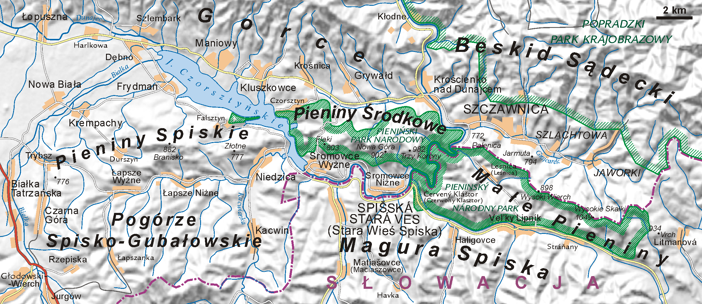
The Dunajec (); Goral dialects: ''Dónajec'') is a river running through northeastern Slovakia and southern Poland. It is also regarded as the main river of the Goral Lands. It is a right tributary of the Vistula River. It begins in Nowy Targ at the junction of two short mountain rivers, Czarny Dunajec and Biały Dunajec (Black and White Dunajec). Dunajec forms the border between Poland and Slovakia for in the Pieniny Środkowe (Slovak: Centrálne Pieniny) range, east of the Czorsztyn reservoir. Geography The Dunajec is long, including its source river Czarny Dunajec,Statistical Yearbook of the Republic of Poland 2017 |
Sigismund III Vasa
Sigismund III Vasa ( pl, Zygmunt III Waza, lt, Žygimantas Vaza; 20 June 1566 – 30 April 1632 N.S.) was King of Poland and Grand Duke of Lithuania from 1587 to 1632 and, as Sigismund, King of Sweden and Grand Duke of Finland from 1592 to 1599. He was the first Polish sovereign from the House of Vasa. Religiously zealous, he imposed Roman Catholicism across the vast realm, and his crusades against neighbouring states marked Poland's largest territorial expansion. As an enlightened despot, he presided over an era of prosperity and achievement, further distinguished by the transfer of the country's capital from Kraków to Warsaw. Sigismund was the son of King John III of Sweden and his first wife, Catherine Jagiellon, daughter of King Sigismund I of Poland. Elected monarch of the Polish–Lithuanian Commonwealth in 1587, he sought to unify Poland and Sweden under one Catholic kingdom, and when he succeeded his deceased father in 1592 the Polish–Swedish union was created. ... [...More Info...] [...Related Items...] OR: [Wikipedia] [Google] [Baidu] |
Nowy Targ
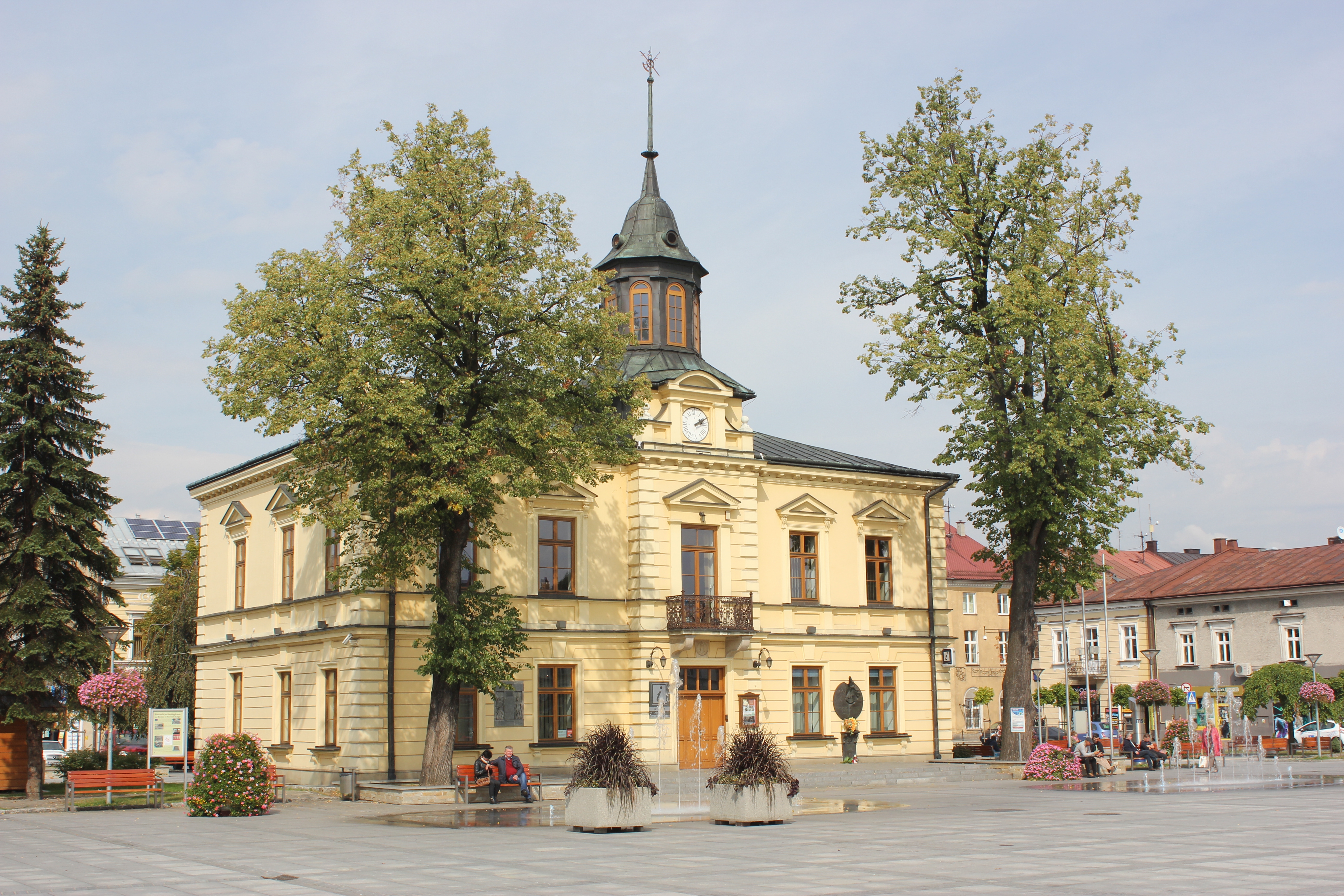
Nowy Targ (Officially: ''Royal Free city of Nowy Targ'', Yiddish: ''Naymark'', Goral Dialect: ''Miasto'') is a town in southern Poland, in the Lesser Poland Voivodeship. It is located in the Orava-Nowy Targ Basin at the foot of the Gorce Mountains, at the confluence of the Czarny Dunajec and the Biały Dunajec. It is the seat of the Nowy Targ County and the rural Gmina Nowy Targ, as well as the Tatra Euroregion. With 33,293 inhabitants, Nowy Targ is the largest town and the historic capital of Podhale, as well as its main commercial, communication and industrial center. The town has the Podhale State Vocational University and the highest located airport in Poland. Established before 1233, Nowy Targ received city rights on June 22, 1346 from King Casimir the Great. The historic architectural and urban complex of the town with a medieval market square has been preserved to this day. Toponymy In 1233, a settlement called in pl, Stare Cło, lit=Old Toll ( la, Antiquum T ... [...More Info...] [...Related Items...] OR: [Wikipedia] [Google] [Baidu] |
Voivodeships Of Poland
A voivodeship (; pl, województwo ; plural: ) is the highest-level administrative division of Poland, corresponding to a province in many other countries. The term has been in use since the 14th century and is commonly translated into English as "province". The Polish local government reforms adopted in 1998, which went into effect on 1 January 1999, created sixteen new voivodeships. These replaced the 49 former voivodeships that had existed from 1 July 1975, and bear a greater resemblance (in territory, but not in name) to the voivodeships that existed between 1950 and 1975. Today's voivodeships are mostly named after historical and geographical regions, while those prior to 1998 generally took their names from the cities on which they were centered. The new units range in area from under (Opole Voivodeship) to over (Masovian Voivodeship), and in population from nearly one million (Opole Voivodeship) to over five million (Masovian Voivodeship). Administrative authority at th ... [...More Info...] [...Related Items...] OR: [Wikipedia] [Google] [Baidu] |


