|
Patallaqta
Patallacta (possibly from Quechua ''pata'' elevated place / above, at the top / edge, bank (of a river), shore, ''llaqta'' place (village, town, city, country, nation), "settlement on a platform" pronounced "pahta-yakta"), Llactapata or Q'ente Marka (possibly from Quechua ''q'inti'' hummingbird, ''marka'' village, "hummingbird village") is an archaeological site in Peru located in the Cusco Region, Urubamba Province, Machupicchu District. It is situated southeast of the site Machu Picchu, at the confluence of the rivers Cusichaca and Vilcanota on a mountain named Patallacta. On his way to discover Machu Picchu (at: ) Hiram Bingham, discoverer of Machu Picchu and many other Incan sites, passed Patallacta, sometimes given the name of Llaqtapata as evidenced by the photograph of a sign from a check-point along the Inca trail. His associate Mr. Herman Tucker reported that the name of the town was ''Patallacta'' containing about one hundred houses. Above it were several important ... [...More Info...] [...Related Items...] OR: [Wikipedia] [Google] [Baidu] |
Inca Trail To Machu Picchu
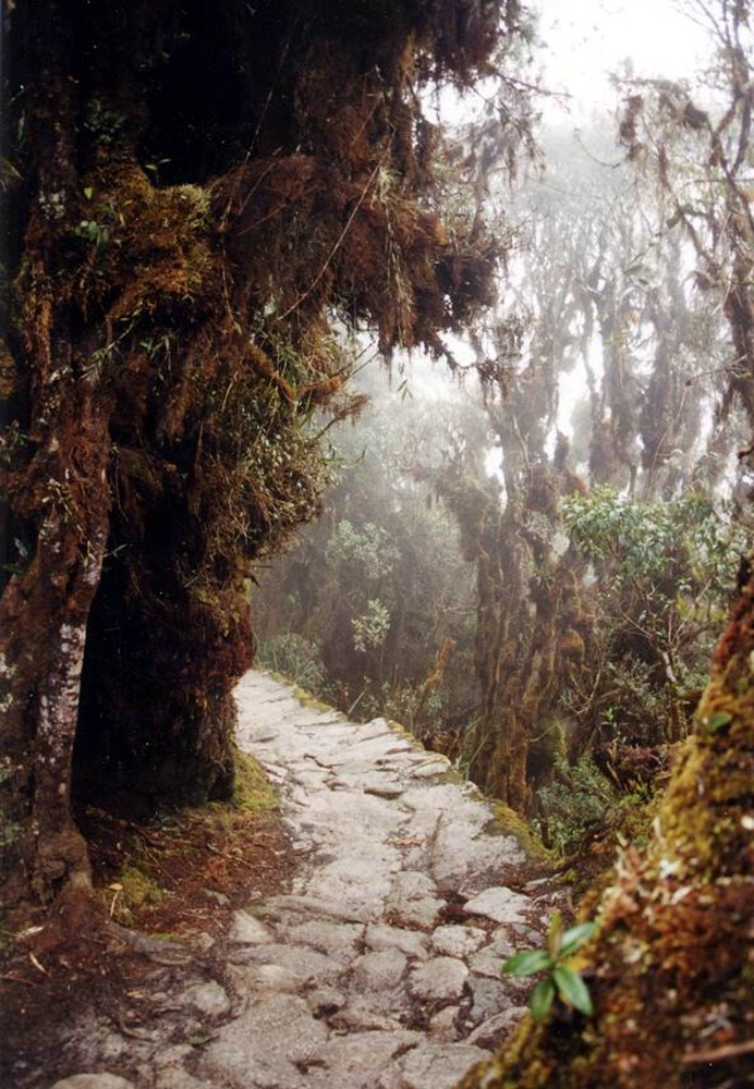
The Inca Trail to Machu Picchu (also known as ''Camino Inca'' or ''Camino Inka'') is a hiking trail in Peru that terminates at Machu Picchu. It consists of three overlapping trails: ''Mollepata'', ''Classic'', and ''One Day''. ''Mollepata'' is the longest of the three routes with the highest mountain pass and intersects with the Classic route before crossing Warmiwañusqa ("dead woman"). Located in the Andes mountain range, the trail passes through several types of Andean environments including cloud forest and alpine tundra. Settlements, tunnels, and many Incan ruins are located along the trail before ending the terminus at the Sun Gate on Machu Picchu mountain. The two longer routes require an ascent to beyond above sea level, which can result in altitude sickness. Concern about overuse leading to erosion has led the Peruvian government to place a limit on the number of people who may hike this trail per season, and to sharply limit the companies that can provide guides. As ... [...More Info...] [...Related Items...] OR: [Wikipedia] [Google] [Baidu] |
Machupicchu District
Machupicchu (from Quechua Machu Pikchu, "old peak") is one of seven districts of the Urubamba Province in Peru. Its seat is the village of Machupicchu. Geography The Urupampa and Willkapampa mountain ranges traverse the district. Some of the highest mountains of the district are listed below:escale.minedu.gob.pe - UGEL map of the La Convención Province 1 (Cusco Region) * K'urkur Urqu * Phutuq K'usi * P'allqay * Sallqantay * Tunki Urqu * Wayna Pikchu See also * Kusichaka River * Machu Pikchu * Machu Q'inti * Pakaymayu * Patallaqta Patallacta (possibly from Quechua ''pata'' elevated place / above, at the top / edge, bank (of a river), shore, ''llaqta'' place (village, town, city, country, nation), "settlement on a platform" pronounced "pahta-yakta"), Llactapata or Q'ente ... * Runkuraqay * Warmi Wañusqa * Wayna Q'inti References {{Cusco-geo-stub 1941 establishments in Peru ... [...More Info...] [...Related Items...] OR: [Wikipedia] [Google] [Baidu] |
Archaeological Sites In Peru
Archaeological sites in Peru are numerous and diverse, representing different aspects including temples and fortresses of the various cultures of ancient Peru, such as the Moche and Nazca. The sites vary in importance from small local sites to UNESCO World Heritage sites of global importance. Their nature and complexity of the sites vary from small single-featured sites such as pyramids to entire cities, such as Chan Chan and Machu Picchu. Preservation and investigation of these sites are controlled mainly by the Culture Ministry (MINCUL) ( es, Ministerio de Cultura (Perú)). The lack of funding to protect sites and enforce existing laws, results in large scale looting and illegal trading of artifacts. Sites The following is an alphabetical list of archaeological sites in Peru, it lists the main archaeological sites of touristic importance as published by the Ministry of Foreign Commerce and Tourism. Archaeology of PeruArchaeological sites Retrieved March 3, 2009. See also * Cu ... [...More Info...] [...Related Items...] OR: [Wikipedia] [Google] [Baidu] |
Wayna Q'inti
Wayna Q'inti (Quechua ''wayna'' young, ''q'inti'' hummingbird,Teofilo Laime Ajacopa, Diccionario Bilingüe Iskay simipi yuyayk'ancha, La Paz, 2007 (Quechua-Spanish dictionary) ''Q'inti'' a place nearby, "young Q'inti", hispanicized and mixed spellings ''Huaynaquente, Waynaquente'', also Wayna Q'ente) is an archaeological site in Peru. It is situated in the Cusco Region, Urubamba Province, Machupicchu District.mincetur.gob.pe "Grupo arqueológico de Wayna Q'ente", retrieved on February 24, 2014 Wayna Q'inti is situated above the left bank of the Willkanuta River, near the archaeological sites of Machu Q'inti (Quechua f ... [...More Info...] [...Related Items...] OR: [Wikipedia] [Google] [Baidu] |
Machu Q'inti
Machu Q'inti (Quechua ''machu'' old, old person, ''q'inti'' hummingbird,Teofilo Laime Ajacopa, Diccionario Bilingüe Iskay simipi yuyayk'ancha, La Paz, 2007 (Quechua-Spanish dictionary) ''Q'inti'' a place nearby, "old Q'inti", hispanicized spelling ''Machuquente'', also Machu Q'ente) is an archaeological site in Peru. It is situated in the Cusco Region, Urubamba Province, Machupicchu District.mincetur.gob.pe "Grupo arqueológico de Machuquente", retrieved on February 24, 2014 Machu Q'inti is situated above the left bank of the Willkanuta River, near the archaeological sites of Wayna Q'inti (Quechua for young Q'inti) ... [...More Info...] [...Related Items...] OR: [Wikipedia] [Google] [Baidu] |
Urubamba River
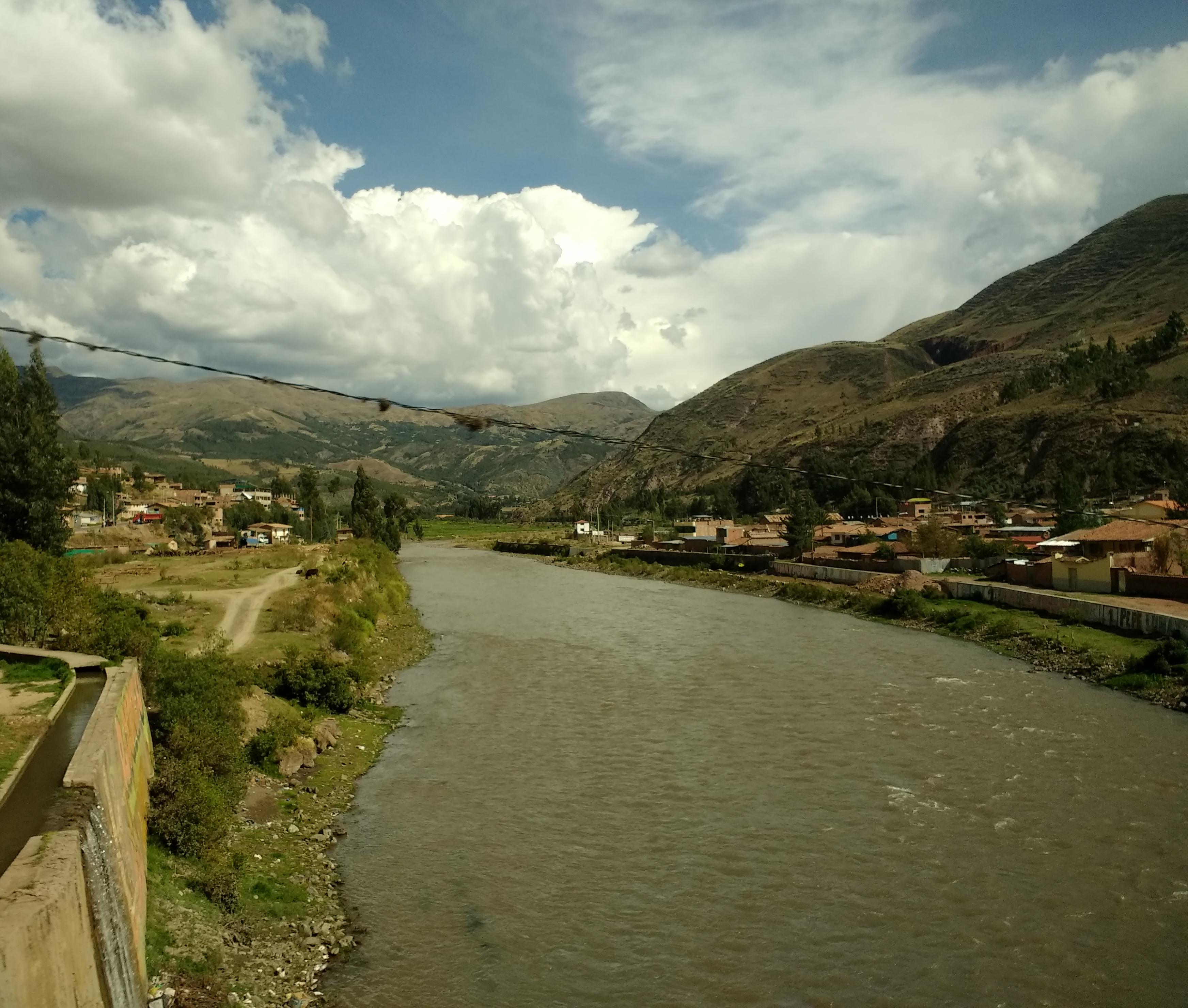
The Urubamba River or Vilcamayo River (possibly from Quechua ''Willkamayu'', for "sacred river") is a river in Peru. Upstream it is called Vilcanota River (possibly from Aymara ''Willkanuta'', for "house of the sun"). Within the La Convención Province the naming changes to Urubamba. A partially navigable headwater of the Amazon River, it rises in the Andes to the southeast of Cuzco. It originates on the slopes of Khunurana in the Puno Region, Melgar Province, near the La Raya pass. It flows north-north-west for 724 kilometers before coalescing with the Tambo River to form the Ucayali River. The Urubamba is divided into Upper Urubamba and Lower Urubamba, the dividing feature being the Pongo de Mainique, an infamous whitewater canyon. Upper Urubamba The Upper Urubamba (''Alto Urubamba'') valley features a high population and extensive irrigation works. A number of ruins of the Inca Empire lie in the Sacred Valley, including the Incan city of Machu Picchu, Patallaqta, Pikillaq ... [...More Info...] [...Related Items...] OR: [Wikipedia] [Google] [Baidu] |
Inti Punku
Inti Punku or Intipunku (Quechua ''inti'' sun, ''punku'' door, "sun gate", Hispanicized spellings ''Intipunco, Intipuncu, Inti Puncu'') is an archaeological site in the Cusco Region of Peru that was once a fortress of the sacred city, Machu Picchu. It is now also the name of the final section of the Incan Trail between the Sun Gate complex and the city of Machu Picchu. It was believed that the steps were a control gate for those who enter and exited the Sanctuary. It is one of the most important archeological constructions around the Machu Picchu site. Inti Punku was once the main entrance to Machu Picchu, in particular it was the primary approach from the then capitol city of Cusco to the southeast. The gate likely would have been protected by Incan military. Inti Punku is dedicated to the cult of the Inti, the Sun god. Because of its location on a ridge southeast of Machu Picchu, the rising sun would pass through the Sun Gate each year on the summer solstice. It is located 2745 ... [...More Info...] [...Related Items...] OR: [Wikipedia] [Google] [Baidu] |
Cusco
Cusco, often spelled Cuzco (; qu, Qusqu ()), is a city in Southeastern Peru near the Urubamba Valley of the Andes mountain range. It is the capital of the Cusco Region and of the Cusco Province. The city is the list of cities in Peru, seventh most populous in Peru; in 2017, it had a population of 428,450. Its elevation is around . The city was the capital of the Inca Empire from the 13th century until the 16th-century Spanish conquest of Peru, Spanish conquest. In 1983, Cusco was declared a World Heritage Site by UNESCO with the title "City of Cuzco". It has become a major tourist destination, hosting nearly 2 million visitors a year. The Constitution of Peru (1993) designates it as the Historical Capital of Peru. Spelling and etymology The indigenous name of this city is . Although the name was used in Southern Quechua, its origin is found in the Aymara language. The word is derived from the phrase ('rock of the owl'), related to the city's foundation myth of the Ayar ... [...More Info...] [...Related Items...] OR: [Wikipedia] [Google] [Baidu] |
Peru
, image_flag = Flag of Peru.svg , image_coat = Escudo nacional del Perú.svg , other_symbol = Great Seal of the State , other_symbol_type = Seal (emblem), National seal , national_motto = "Firm and Happy for the Union" , national_anthem = "National Anthem of Peru" , march = "March of Flags" , image_map = PER orthographic.svg , map_caption = , image_map2 = , capital = Lima , coordinates = , largest_city = capital , official_languages = Peruvian Spanish, Spanish , languages_type = Co-official languages , languages = , ethnic_groups = , ethnic_groups_year = 2017 , demonym = Peruvians, Peruvian , government_type = Unitary state, Unitary Semi-presidential system, semi-presidential republic , leader_title1 = President of Peru, President ... [...More Info...] [...Related Items...] OR: [Wikipedia] [Google] [Baidu] |
Inca Road System
The Inca road system (also spelled Inka road system and known as ''Qhapaq Ñan''Qhapaq=rich, powerful, opulent, wealthy, privileged; ñan=road, way, path, route. Source "Diccionario quechua - español - quechua" Gobierno Regional Cusco - Cusco – Second edition, 2005 meaning "royal road" in QuechuaMartínez Martínez, Guadalupe (2010). Qhapaq Ñan: el camino inca y las transformaciones territoriales en los Andes Peruanos - Arqueología y Sociedad, Nº 21, 2010 – www.revistasinvestigacion.unmsm.edu.pe/index.php/Arqueo/article/download/12277/10985) was the most extensive and advanced transportation system in pre-Columbian South America. It was at least long. The construction of the roads required a large expenditure of time and effort. The network was composed of formalKrzanowski Andrzej. Observaciones acerca de la construcción y el trazado de algunos tramos del camino inca en los Andes peruanos - Kraków, Poland - http://www.farkha.nazwa.pl/contributions/pcnwa/cnwa/CNWA2.4.p ... [...More Info...] [...Related Items...] OR: [Wikipedia] [Google] [Baidu] |
Archaeological Sites In Cusco Region
Archaeology or archeology is the scientific study of human activity through the recovery and analysis of material culture. The archaeological record consists of artifacts, architecture, biofacts or ecofacts, sites, and cultural landscapes. Archaeology can be considered both a social science and a branch of the humanities. It is usually considered an independent academic discipline, but may also be classified as part of anthropology (in North America – the four-field approach), history or geography. Archaeologists study human prehistory and history, from the development of the first stone tools at Lomekwi in East Africa 3.3 million years ago up until recent decades. Archaeology is distinct from palaeontology, which is the study of fossil remains. Archaeology is particularly important for learning about prehistoric societies, for which, by definition, there are no written records. Prehistory includes over 99% of the human past, from the Paleolithic until the adve ... [...More Info...] [...Related Items...] OR: [Wikipedia] [Google] [Baidu] |
Mountains Of Peru
A mountain is an elevated portion of the Earth's crust, generally with steep sides that show significant exposed bedrock. Although definitions vary, a mountain may differ from a plateau in having a limited summit area, and is usually higher than a hill, typically rising at least 300 metres (1,000 feet) above the surrounding land. A few mountains are isolated summits, but most occur in mountain ranges. Mountains are formed through tectonic forces, erosion, or volcanism, which act on time scales of up to tens of millions of years. Once mountain building ceases, mountains are slowly leveled through the action of weathering, through slumping and other forms of mass wasting, as well as through erosion by rivers and glaciers. High elevations on mountains produce colder climates than at sea level at similar latitude. These colder climates strongly affect the ecosystems of mountains: different elevations have different plants and animals. Because of the less hospitable terrain ... [...More Info...] [...Related Items...] OR: [Wikipedia] [Google] [Baidu] |


.jpg)
