|
Mubariz Khan
Mubariz Khan was the Mughal governor of Gujarat and Hyderabad state. He was the governor of Golconda from 1713 to 1724 until he was killed during the Battle of Shakar Kheda where he fought against Nizam-ul-Mulk, Asaf Jah I. His is known to have ruled Golconda with a free hand and brought it under stable rule from constant Maratha Raids to extract Chauth. He is generally described as a ''proto-dynastic'' figure by John F Richards. Early life Mubariz Khan was born as Khwaja Muhammad in Balkh. He arrived in India when he was a small boy with his mother. Of a relative obscure background, he entered the Mughal service as a clerk and got employment in various courts, but he soon got his big career break when he married the daughter of Inayat Khan Kashmiri, a noble in favour of Aurangzeb. He was appointed as the Bakshi of Prince Kam Baksh and later Faujdar of Sangamner. In the year 1703-1704 of Aurangzeb's reign, he was given the title Amanat Khan and was appointed as the faujdar of B ... [...More Info...] [...Related Items...] OR: [Wikipedia] [Google] [Baidu] |
Mughal Empire
The Mughal Empire was an early-modern empire that controlled much of South Asia between the 16th and 19th centuries. Quote: "Although the first two Timurid emperors and many of their noblemen were recent migrants to the subcontinent, the dynasty and the empire itself became indisputably Indian. The interests and futures of all concerned were in India, not in ancestral homelands in the Middle East or Central Asia. Furthermore, the Mughal empire emerged from the Indian historical experience. It was the end product of a millennium of Muslim conquest, colonization, and state-building in the Indian subcontinent." For some two hundred years, the empire stretched from the outer fringes of the Indus river basin in the west, northern Afghanistan in the northwest, and Kashmir in the north, to the highlands of present-day Assam and Bangladesh in the east, and the uplands of the Deccan Plateau in South India. Quote: "The realm so defined and governed was a vast territory of some , rang ... [...More Info...] [...Related Items...] OR: [Wikipedia] [Google] [Baidu] |
Elgandal Fort
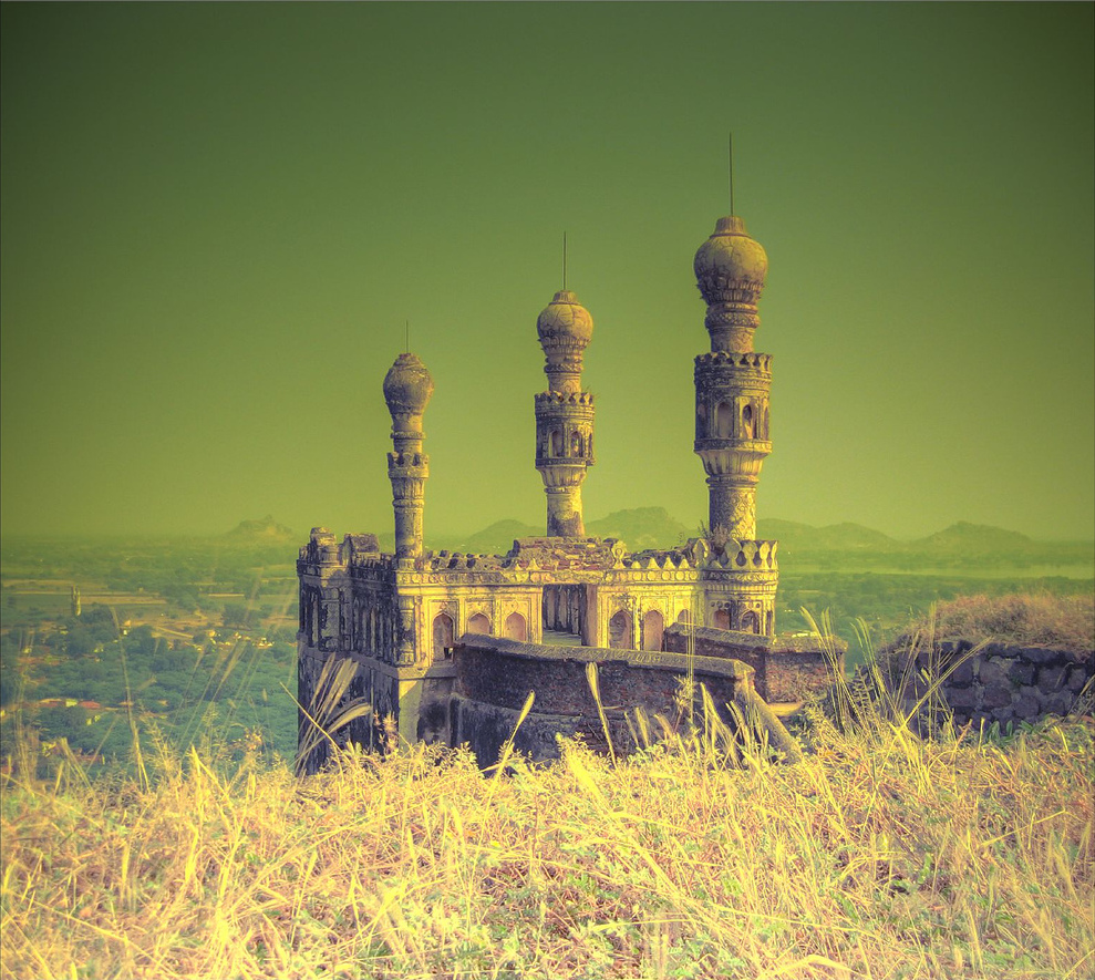
Elgandal Fort is situated amidst palm groves on the banks of the Manair River (a tributary of the Godavari River), approximately from Karimnagar on the Sircilla Road in the Indian state of Telangana. It was once under the control of the Qutub Shahi dynasty, the Mughal Empire, and the Nizams of Hyderabad. During the Nizam era it was the headquarters of Karimnagar. It is believed that a secret tunnel connects Elgandal Fort and Manakondur some from Karimnagar on the Karimnagar-Vemulawada highway. History Originally known as Veligundula, Elgandal is a hillfort built of during the Kakatiya dynasty (1083–1323) and served as a stronghold for the warrior Musunuri Nayaks. The Qutb Shahi dynasty occupied the fort in the 16th century and posted Quinamul Mulk as commander. Subsequently, it fell under the administrative control of the Mughal Empire. Amin Khan was appointed as Khiledar of Elagandal during the reign of Nizam of Hyderabad Asaf Jah I (r. 1724–1748) followed by Muqarrab K ... [...More Info...] [...Related Items...] OR: [Wikipedia] [Google] [Baidu] |
Velama
Velama is a caste found mainly in Andhra Pradesh and Telangana. The earliest occurrence of ''Velama'' as a term for a community dates from the 17th century. Origin and history The Velamas are described by that name from the 17th century and in the following century some held zamindari positions under the kings of Golconda, which gave them considerable powers over small regions in Telangana. The kings chose to distinguish between these various Velama groups by adopting a system of ranks. This caused a competitive emphasis to be placed on the status and trappings of Velama communities, resulting in rivalries based on recognition of wealth and honours that had been historically granted. Among those that came to dominate were the Velugotis of Venkatagiri, in the coastal Nellore district, and the Appa Raos of Nuzvid. Both of these laid claims to be recognised as royal clans, while other significant groups included the Pitapuram Raos and the Ranga Raos. The Velugotis traced their hist ... [...More Info...] [...Related Items...] OR: [Wikipedia] [Google] [Baidu] |
Rajahmundry
Rajahmundry, officially known as Rajamahendravaram, is a city in the Indian state of Andhra Pradesh and District headquarters of East Godavari district. It is the sixth most populated city in the state. During British rule, the District of Rajahmundry was created in the Madras Presidency in 1823. It was reorganised in 1859 and bifurcated into the Godavari and Krishna districts. Rajahmundry was the headquarters of Godavari district, which was further bifurcated into East Godavari and West Godavari districts in 1925. When the Godavari district was bifurcated, Kakinada became the headquarters of East Godavari and Eluru became the headquarters of West Godavari. It is administered under Rajahmundry revenue division of the East Godavari district. The city is known for its floriculture, history, culture, agriculture, economy, tourism, and its heritage. It is known as the "Cultural Capital of Andhra Pradesh". The city's name was derived from Rajaraja Narendra, the ruler of Chaluky ... [...More Info...] [...Related Items...] OR: [Wikipedia] [Google] [Baidu] |
Narasimharaopalem
Narasimharaopalem is one of the smallest villages in Chatrai mandal of Krishna district in the Indian state of Andhra Pradesh Andhra Pradesh (, abbr. AP) is a state in the south-eastern coastal region of India. It is the seventh-largest state by area covering an area of and tenth-most populous state with 49,386,799 inhabitants. It is bordered by Telangana to the .... References {{coord, 17, 02, N, 80, 50, E, display=title, region:IN_type:city_source:GNS-enwiki Villages in Krishna district ... [...More Info...] [...Related Items...] OR: [Wikipedia] [Google] [Baidu] |
Chennuru, Khammam District
Chennuru is a village in Kalluru Mandal in Khammam District of Telangana Telangana (; , ) is a state in India situated on the south-central stretch of the Indian peninsula on the high Deccan Plateau. It is the eleventh-largest state and the twelfth-most populated state in India with a geographical area of and 3 ... State. Chennuru is a large village located in Kallur Mandal of Khammam district, Telangana with total 1004 families residing. The Chennuru village has population of, 3416 of which 1693 are males while 1723 are females as per Population Census 2011. In Chennuru village, population of children with age 0-6 is 337 which makes up 9.87 % of total population of village. Average Sex Ratio of Chennuru village is 1018 which is higher than Andhra Pradesh state average of 993. Child Sex Ratio for the Chennuru as per census is 994, higher than Andhra Pradesh average of 939. In Chennuru village out of total population, 1942 were engaged in work activities. 47.43 % of w ... [...More Info...] [...Related Items...] OR: [Wikipedia] [Google] [Baidu] |
Bhadrachalam
Bhadrachalam is a census town in Bhadradri Kothagudem district in the Indian state of Telangana. It is an important Hindu pilgrimage town with the Bhadrachalam Temple of Lord Rama, situated on the banks of Godavari river. It is located east of state capital, Hyderabad, from Khammam, from Warangal, from the Andhra Pradesh state capital Amaravathi and from Visakhapatnam. History The town has a documented history of Lord Sri Rama temple constructed circa 17th century CE by Kancherla Gopanna. Gopanna (1620 - 1680), popularly known as Bhadradri Ramadasu or Bhadrachala Ramadasu, was a 17th-century Indian devotee of Rama and a composer of Carnatic music. His devotional lyrics to Rama are famous in South Indian classical music as Ramadaasu Keertanalu, and have made Bhadrachalam a place of religious importance for Hindus. Bhadrachalam area also has several Hindu temples connected with epic Ramayana. It is referred as "Dakshina Saketa Puri" in the movie "Sri Ramadasu". Geogra ... [...More Info...] [...Related Items...] OR: [Wikipedia] [Google] [Baidu] |
Godavari
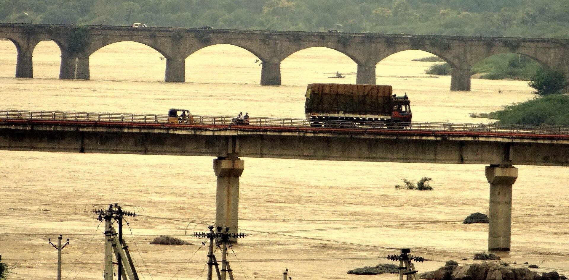
The Godavari (IAST: ''Godāvarī'' �od̪aːʋəɾiː is India's second longest river after the Ganga river and drains into the third largest basin in India, covering about 10% of India's total geographical area. Its source is in Trimbakeshwar, Nashik, Maharashtra. It flows east for , draining the states of Maharashtra (48.6%), Telangana (18.8%), Andhra Pradesh (4.5%), Chhattisgarh (10.9%) and Odisha (5.7%). The river ultimately empties into the Bay of Bengal through an extensive network of tributaries. Measuring up to , it forms one of the largest river basins in the Indian subcontinent, with only the Ganga and Indus rivers having a larger drainage basin. In terms of length, catchment area and discharge, the Godavari is the largest in peninsular India, and had been dubbed as the Dakshina Ganga (Ganges of the South). The river has been revered in Hindu scriptures for many millennia and continues to harbour and nourish a rich cultural heritage. In the past few decades, the rive ... [...More Info...] [...Related Items...] OR: [Wikipedia] [Google] [Baidu] |
Polavaram, West Godavari District
Polavaram or Prolavaram is a village in Eluru district of the Indian state of Andhra Pradesh. It is located in Polavaram mandal of Jangareddygudem revenue division at about 35 km away from the banks of Godavari River. The Papi Hills and Polavaram Project are the major landmarks near the village. History Historically the area is known as Prolavaram. This area was under the rule of Kamma kings of Musunuri Nayakas. Kamma king Musunuri Prolayya, in 1330 AD donated Prolavaram village to Brahmins. Prolavaram means, Prola is Prola and Varam is donation. Geography Polavaram is located at . It has an average elevation of 16 metres (55 ft). Demographics Census of India, Polavaram had a population of 13861. The total population constitute, 6830 males and 7031 females with a sex ratio of 1029 females per 1000 males. 1431 children are in the age group of 0–6 years, with sex ratio of 890 The average literacy rate stands at 76.40%. See also *Polavaram Project ... [...More Info...] [...Related Items...] OR: [Wikipedia] [Google] [Baidu] |
Kondapalli
Kondapalli is a industrial and residential hub located in western part of Vijayawada in the Indian state of Andhra Pradesh. It is a municipality in Ibrahimpatnam mandal in Vijayawada revenue division of NTR district. It is closest to Ibrahimpatnam at a distance of 5 km. Dr Narla Tata Rao Thermal Power Station, one of the major Thermal Power stations of the state is located in between Ibrahimpatnam and Kondapalli. It is home for many industries like Andhra Pradesh Heavy Machinery & Engineering Limited (APHMEL), BPCL, HPCL, IOC, Reliance Industries, Lanco Infratech are located here. Kondapalli Toys are very famous in the state. Kondapalli Fort also known as Kondapalli Kota is located towards west of kondapalli. There is a proposal to merge this place into Vijayawada Municipal Corporation (VMC) to form a Greater Vijayawada Municipal Corporation. Etymology In 18th century, Kondapalli was known with the name, ''Mustafanagar''. Culture The village is known for Kondapa ... [...More Info...] [...Related Items...] OR: [Wikipedia] [Google] [Baidu] |
Khammam
Khammam formally (Khammam Mettu) is the city in Khammam district of the Indian state of Telangana. It is the fourth largest city in the state. It is the headquarters of the Khammam district and Khammam mandal also. It is located about east of the state capital, Hyderabad, from Suryapet, from Warangal and also it is located about North of the Andhra Pradesh state capital, Amaravathi. The river Munneru flows on the western side of the city. census of India, Khammam urban agglomeration has a population of 313,504. However, on 19 October 2012, the civic body of Khammam was upgraded to Municipal corporation Post upgradation to corporation Khammam population is approximated to be 3,07,000. Etymology Historical records show that the city's name was once "Kammamettu.". The name was also anglicized as "Comment" and "Khammammet". History The name ''Khammam'', which means a pillar is named after lord Narasimha Swamy, the presiding deity of Narasimhaswamy Gutta, an important ... [...More Info...] [...Related Items...] OR: [Wikipedia] [Google] [Baidu] |


