|
List Of Administrative Divisions Of Taiwan
The following is a list of administrative divisions of the Republic of China (Taiwan), including 6 special municipalities and 2 nominal provinces as the ''de jure'' first-level administrative divisions. 11 counties and 3 cities were nominally under the jurisdiction of the Taiwan Province, and 2 additional counties being part of the ROC's Fujian Province. With provinces non-functional in practice, Taiwan is divided into 22 subnational divisions, among which counties and cities are the ''de facto'' principle constituent divisions, along with special municipalities, directly under the Central Government. Each with a local government led by an elected head and a local council. List Map See also * Administrative divisions of Taiwan * List of magistrates and mayors in Taiwan * List of townships/cities and districts in Taiwan Notes References External links Taiwanese national bureau of statistics {{Authority control Subdivisions of Taiwan Taiwan Administrative di ... [...More Info...] [...Related Items...] OR: [Wikipedia] [Google] [Baidu] |
Administrative Divisions Of Taiwan
The Republic of China (Taiwan) is divided into multi-layered statutory subdivisions. Due to the complex political status of Taiwan, there is a significant difference in the ''de jure'' system set out in the original constitution and the ''de facto'' system in use today. Constitutionally, the ROC is divided into two and six special municipalities, with each province subdivided into cities and counties. The provinces have been "streamlined" and are no longer functional. With provinces non-functional in practice, Taiwan is divided into 22 subnational divisions each with a local government led by an elected head and a local council. Matters for which local governments are responsible or partially responsible include social services, education, urban planning, public construction, water management, environmental protection, transport and public safety. There are three types of subnational divisions: special municipalities, cities and counties. Special municipalities and citie ... [...More Info...] [...Related Items...] OR: [Wikipedia] [Google] [Baidu] |
Taichung City Flag
Taichung (, Wade–Giles: ''Tʻai²-chung¹'', pinyin: ''Táizhōng''), officially Taichung City, is a special municipality located in central Taiwan. Taichung has approximately 2.8 million residents and is the second most populous city of Taiwan, as well as the most populous city in Central Taiwan. It serves as the core of the Taichung–Changhua metropolitan area, the second largest metropolitan area in Taiwan. Located in the Taichung Basin, the city was initially developed from several scattered hamlets helmed by the Taiwanese indigenous peoples. It was constructed to be the new capital of Taiwan Province and renamed as " Taiwan-fu" in the late Qing dynastic era between 1887 and 1894. During the Japanese era from 1895, the urban planning of present-day city of Taichung was performed and developed by the Japanese. From the start of ROC rule in 1945, the urban area of Taichung was organized as a provincial city up until 25 December 2010, when the original provincial city ... [...More Info...] [...Related Items...] OR: [Wikipedia] [Google] [Baidu] |
Hsinchu County Flag
Hsinchu (, Chinese: 新竹, Pinyin: ''Xīnzhú'', Wade–Giles: ''Hsin¹-chu²'') is a city located in northwestern Taiwan. It is the most populous city in Taiwan Province not among the special municipalities, with estimated 450,655 inhabitants. Hsinchu is a coastal city bordering the Taiwan Strait to the west, Hsinchu County to the north and east, and Miaoli County to the south. Nicknamed the ''Windy City'' for its strong northeastern monsoon during the autumn and winter seasons. The area was originally settled by the Austronesian Taiwanese indigenous peoples, with the settlement being named "Tek-kham" by the Hoklo immigrants. The city was founded by Han Chinese settlers in 1711, and renamed to its current form in 1878. During the Japanese Era, the city was the seat of Shinchiku Prefecture, named after the city. The prefecture encompassed present-day Hsinchu City and County, as well as entire Taoyuan and Miaoli. After the ROC rule in 1945, the urban area of Hsinchu was ... [...More Info...] [...Related Items...] OR: [Wikipedia] [Google] [Baidu] |
Yilan City
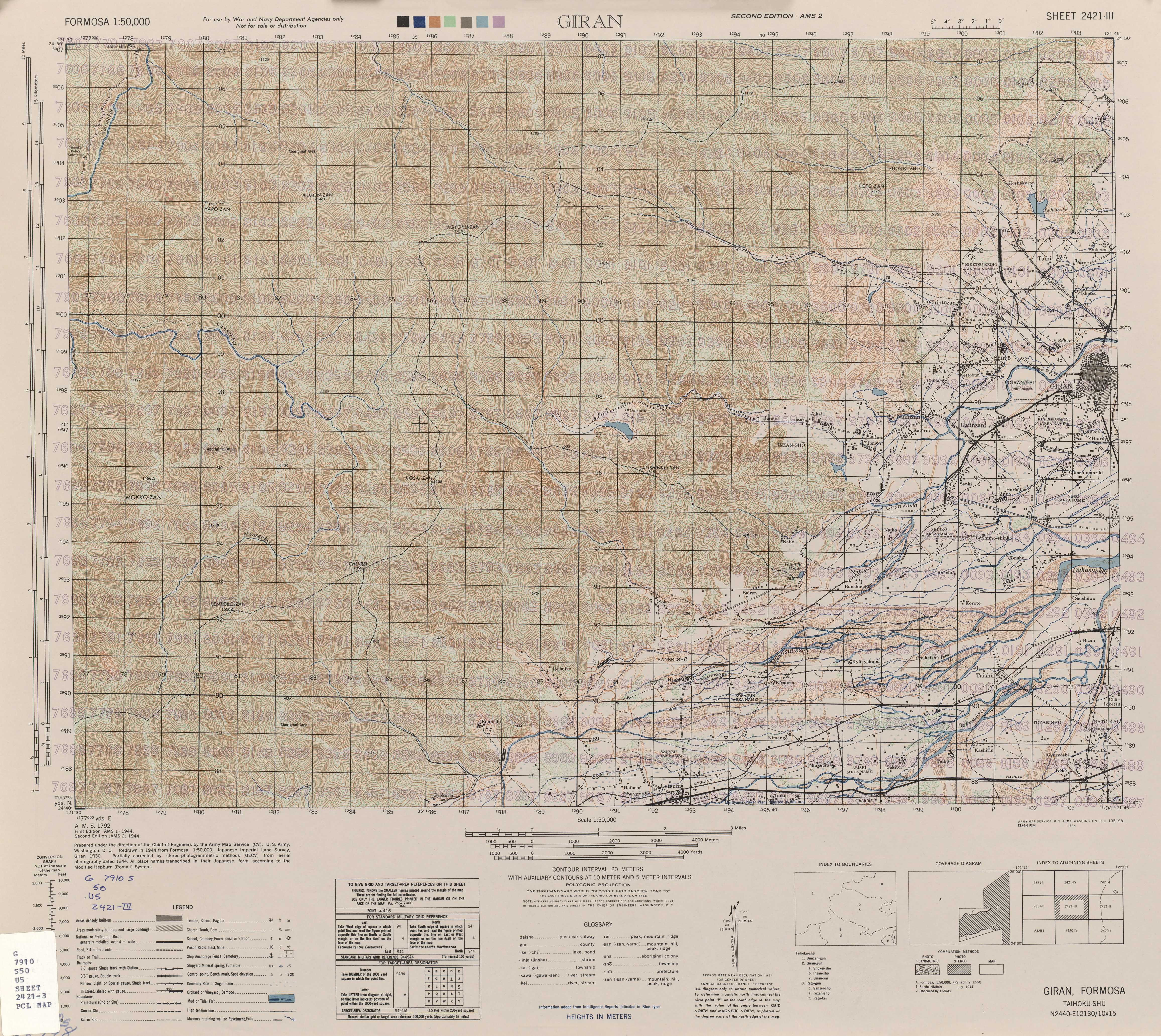
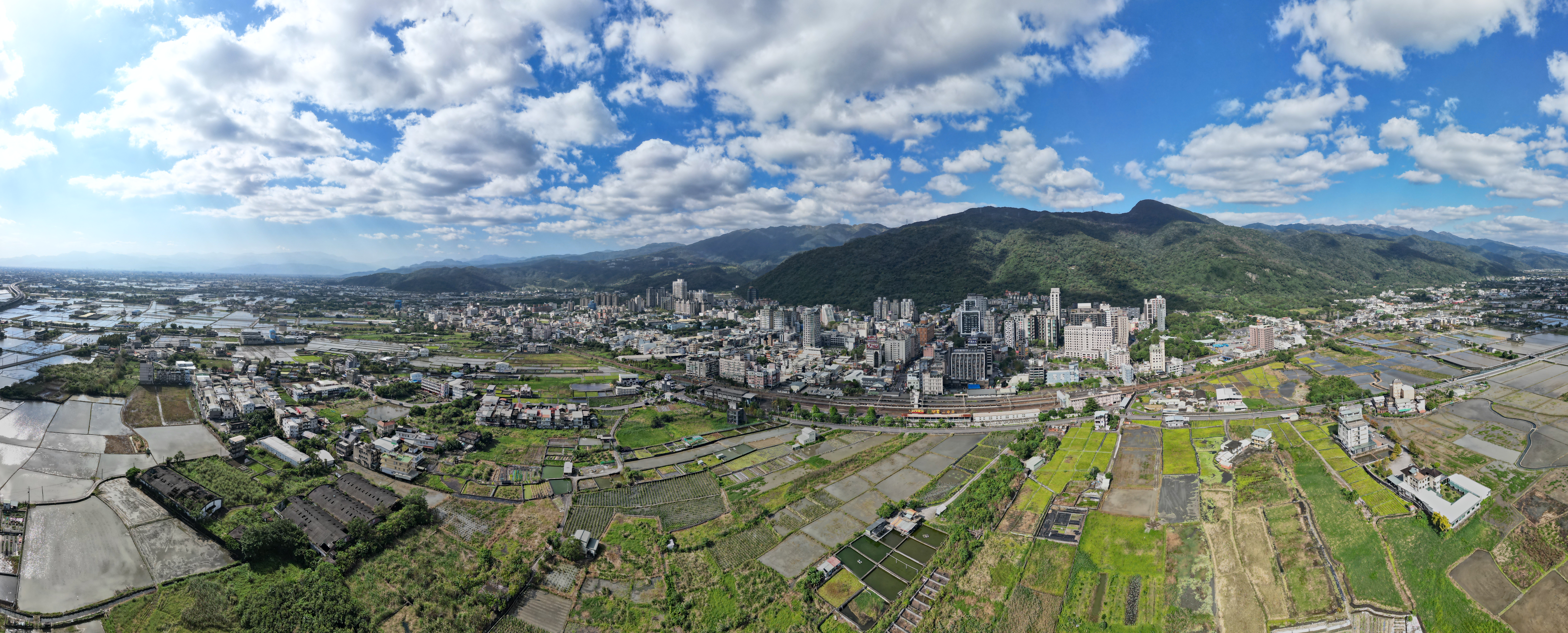
Yilan City ( Mandarin pinyin: ''Yílán Shì''; Hokkien POJ: ''Gî-lân-chhī'') is a county-administered city and the county seat of Yilan County, Taiwan Province, Republic of China. The city lies on the north side of the Lanyang River. History The Yilan Plain in which the city is located has historically been referred to as Kapalan (), Kapsulan (; also 甲子蘭), Komalan (), etc. These names, as well as that of Yilan itself, were given to the sites by the Kavalan tribe of Taiwanese aborigines. Later arrivals included Han Chinese settlers during the Qing Dynasty in China (1802) and settlers from Okinawa during Taiwan's Japanese era (1895-1945). Qing Dynasty In 1810 under Qing dynasty rule, a formal administration office was established at Wuwei (五圍) and "Komalan Subprefecture" () was at the present day location of Yilan City. Construction of the city wall was completed a year later. After a few years once the basic infrastructure was ready, the city assumed the ... [...More Info...] [...Related Items...] OR: [Wikipedia] [Google] [Baidu] |
Yilan County, Taiwan
Yilan County, alternately spelled I-lan, is a county in northeastern Taiwan, Republic of China. Name The name ''Yilan'' derives from the indigenous Kavalan people. Other former names in reference to this area in the Yilan Plain include ''Kabalan'', ''Kavalan'', ''Kavaland'', ''kap-a-lan'', ''Yiland'' and ''Gilan''. Before 2009, the county's official name was transliterated as Ilan. History Early history Since early ages, many people have traveled from far places to Yilan. Indigenous tribes that have settled in Yilan are Kavalan people and Atayal people. The Kavalan people came by the sea and lived by the river at Yilan Plain since around 1,000 years ago. They mostly speak the Austronesian languages. Their settlements consisted of small villages along rivers with around 40-50 communities scattered around the area with a total population of approximately 10,000 people. The Atayal people came by crossing the Xiyuan Pass and settled in the mountain areas. The Ataya ... [...More Info...] [...Related Items...] OR: [Wikipedia] [Google] [Baidu] |
Yilan County Flag
Yilan may refer to: China *Yilan County, Heilongjiang (依兰县), county of central Heilongjiang province, People's Republic of China *Yilan Town, Heilongjiang (依兰镇), seat of Yilan County * Yilan, Jilin (依兰镇), town in Yanji Taiwan *Yilan County, Taiwan (宜蘭縣), county in northeastern Taiwan **Yilan County Council *Yilan City (宜蘭市), seat of Yilan County *Yilan River (宜蘭河), river flowing through Yilan County Turkey *Yılankale, crusader castle *Yılan Island Yılan Island ( tr, Yılan Adası, literally Snake Island) is a Mediterranean island in Turkey. It is administratively a part of Kaş ilçe (district) of Antalya Province at . At the past it was one of the Xenagorou islands ( grc, Ξεναγό ..., Mediterranean island in Turkey {{disambiguation, geo ... [...More Info...] [...Related Items...] OR: [Wikipedia] [Google] [Baidu] |
Fongshan District
Fongshan District, United States National Geospatial-Intelligence Agency () is a district located in southern Kaohsiung, Taiwan. Fongshan is one of the administrative centers of Kaohsiung and is home to the Republic of China Military Academy. There are three military units currently located in Fongshan. Both the Republic of China Military Academy and R.O.C. Army Infantry School came to Taiwan from mainland China and were re-established here in 1950. Chung Cheng Armed Forces Preparatory School was established in 1976. These three units used to be the main economic driving force, but their importance diminished gradually as Fongshan has established itself as a conjunction between Pingtung City and Kaohsiung. Although there are several industrial zones at the outskirts of the city, the major lifestyle in Fongshan seems to be very residential. Many apartments were built near the Kaohsiung city center as a result of shifting economic weight. Like most of areas in Taiwan, it also ... [...More Info...] [...Related Items...] OR: [Wikipedia] [Google] [Baidu] |
Kaohsiung
Kaohsiung City ( Mandarin Chinese: ; Wade–Giles: ''Kao¹-hsiung²;'' Pinyin: ''Gāoxióng'') is a special municipality located in southern Taiwan. It ranges from the coastal urban center to the rural Yushan Range with an area of . Kaohsiung City has a population of approximately 2.72 million people as of May 2022 and is Taiwan's third most populous city and largest city in southern Taiwan. Since founding in the 17th century, Kaohsiung has grown from a small trading village into the political and economic centre of southern Taiwan, with key industries such as manufacturing, steel-making, oil refining, freight transport and shipbuilding. It is classified as a "Gamma −" level global city by the Globalization and World Cities Research Network, with some of the most prominent infrastructures in Taiwan. The Port of Kaohsiung is the largest and busiest harbor in Taiwan while Kaohsiung International Airport is the second busiest airport in number of passengers. The cit ... [...More Info...] [...Related Items...] OR: [Wikipedia] [Google] [Baidu] |
Kaohsiung Flag
Kaohsiung City ( Mandarin Chinese: ; Wade–Giles: ''Kao¹-hsiung²;'' Pinyin: ''Gāoxióng'') is a special municipality located in southern Taiwan. It ranges from the coastal urban center to the rural Yushan Range with an area of . Kaohsiung City has a population of approximately 2.72 million people as of May 2022 and is Taiwan's third most populous city and largest city in southern Taiwan. Since founding in the 17th century, Kaohsiung has grown from a small trading village into the political and economic centre of southern Taiwan, with key industries such as manufacturing, steel-making, oil refining, freight transport and shipbuilding. It is classified as a "Gamma −" level global city by the Globalization and World Cities Research Network, with some of the most prominent infrastructures in Taiwan. The Port of Kaohsiung is the largest and busiest harbor in Taiwan while Kaohsiung International Airport is the second busiest airport in number of passengers. The cit ... [...More Info...] [...Related Items...] OR: [Wikipedia] [Google] [Baidu] |
Xinying District
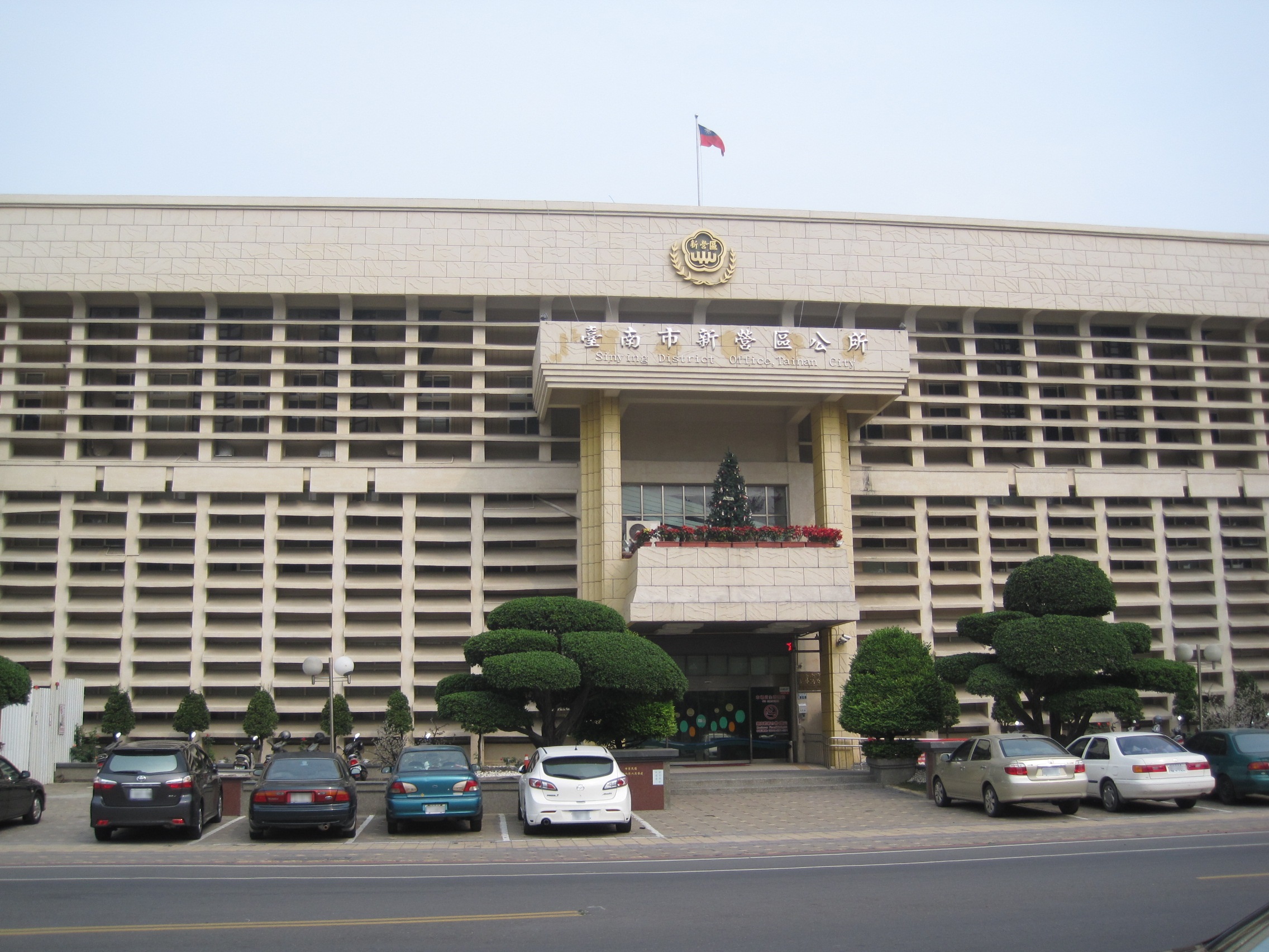
Xinying District () or Sinying District is a district and the location of the second administrative center of the Tainan City Government in Taiwan. Sugar production was the most important industry in Xinying. History On 7 January 1946, Tainan County was established and Xinying Township was made its county capital. On 25 December 1981, Xinying was upgraded from an urban township to a county-administered city. After 25 December 2010, Tainan City merged with Tainan County to form a single special municipality, subsequently Xinying City became Xinying District and became the capital of Tainan City along with Anping District. Geography Located in the northern portion of Tainan, Xinying has a tropical monsoon climate and is known for its many snacks and traditions. Administrative divisions Government institutions * Tainan City Government Education Senior high schools * National Xinying Senior High School (國立新營高級中學) * National Xinying Industrial Professional Sc ... [...More Info...] [...Related Items...] OR: [Wikipedia] [Google] [Baidu] |
Anping District
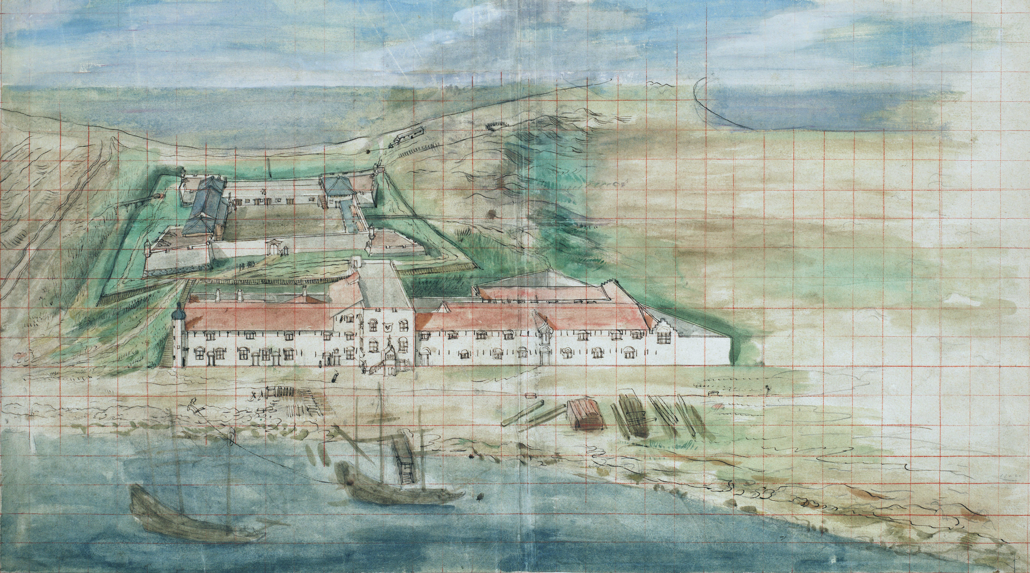
Anping District is a district of Tainan, Taiwan. In March 2012, it was named one of the ''Top 10 Small Tourist Towns'' by the Tourism Bureau of Taiwan. It is home to 67,263 people. Name The older place name of Tayouan derives from the ethnonym of a nearby Taiwanese aboriginal tribe, and was written by the Dutch and Portuguese variously as ''Taiouwang'', ''Tayowan'', etc. In his translations of Dutch records, missionary William Campbell used the variant ''Tayouan'' and wrote that ''Taoan'' and ''Taiwan'' also occur. As Dutch spelling varied greatly at the time (see History of Dutch orthography), other variants may be seen. The name was also transliterated into Chinese characters variously as , , , , and . After the Dutch were ousted by Koxinga, Han immigrants renamed the area "Anping" after the Anping Bridge in Quanzhou, Fujian. Soon after Qing rule was established in 1683, the name "Taiwan" () was officially used to refer to the whole island with the establishmen ... [...More Info...] [...Related Items...] OR: [Wikipedia] [Google] [Baidu] |
Tainan
Tainan (), officially Tainan City, is a special municipality in southern Taiwan facing the Taiwan Strait on its western coast. Tainan is the oldest city on the island and also commonly known as the "Capital City" for its over 200 years of history as the capital of Taiwan under Koxinga and later Qing rule. Tainan's complex history of comebacks, redefinitions and renewals inspired its popular nickname "the Phoenix City". Tainan is classified as a "Sufficiency" level global city by the Globalization and World Cities Research Network. As Taiwan's oldest urban area, Tainan was initially established by the Dutch East India Company (VOC) as a ruling and trading base called Fort Zeelandia during the period of Dutch rule on the island. After Dutch colonists were defeated by Koxinga in 1661, Tainan remained as the capital of the Tungning Kingdom until 1683 and afterwards the capital of Taiwan Prefecture under Qing Dynasty rule until 1887, when the new provincial capital was first ... [...More Info...] [...Related Items...] OR: [Wikipedia] [Google] [Baidu] |


