|
London Buses Route 607
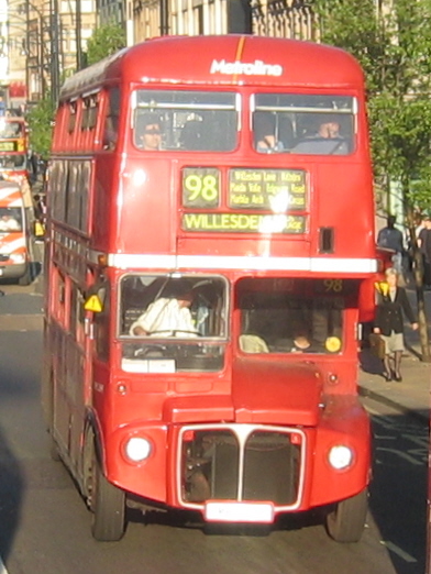
London Buses route 607 is a Transport for London contracted bus route in London, England. Running between Uxbridge station and White City bus station, it is operated by Metroline. History Route 607 is one of the few limited-stop routes in London. It was established on 21 July 1990 as an express service on the same route as route 207 between Uxbridge station and Shepherd's Bush Green via Uxbridge Road on Mondays to Saturdays. Its number was previously used by a trolleybus route over the same roads, which operated from 15 November 1936 until 8 November 1960 when it was abolished as part of the London Trolleybus Withdrawal Programme and replaced by bus route 207. It is the only regular route in the 6xx series that is otherwise reserved for school routes. (There had been 6xx limited-stop routes in the 1970s.) When the route was established, it was operated by MCW Metrobuses, out of Hanwell and Uxbridge garages by CentreWest. The route was included in the sale of CentreWest ... [...More Info...] [...Related Items...] OR: [Wikipedia] [Google] [Baidu] |
Metroline
Metroline is a bus company operating services in Greater London and south Hertfordshire. It is a subsidiary of ComfortDelGro Corporation and operates services under contract to Transport for London. As at March 2021, the fleet consisted of 1,532 buses, making it the third largest London Buses operator. Operations are split between two registered companies, Metroline Travel Limited and Metroline West Limited. Company history On 1 April 1989, London Buses was divided into 11 separate Privatisation of London bus services#Break-up of London Buses, business units, one of which was Metroline. As part of the privatisation of London bus services, Metroline was sold in October 1994 to a management buyout worth £20 million. In July 1998, it purchased MTL (transport company)#MTL London, MTL London and in March 2000 was sold to ComfortDelGro. In August 2004 ComfortDelGro purchased Thorpes and in November 2004 Armchair Passenger Transport with seven routes and 86 buses. The coach busines ... [...More Info...] [...Related Items...] OR: [Wikipedia] [Google] [Baidu] |
Uxbridge Road
Uxbridge Road is the name of the A4020 road in West London. The route starts at Shepherd's Bush Green and goes west towards Uxbridge. It passes through Acton, Ealing, Hanwell, Southall, Hayes, and Hillingdon. Uxbridge Road is a major road in west London passing through many retail and large residential districts. It provides several transport connections for commuters with many London Underground stations situated either on it or within walking distance. A number of London buses also operate along the road, for varying distances. Bus routes 207, 427 and 607 are specifically designed to operate along this road, staying on it for their entire route. The road has become notorious for traffic jams, especially during "rush hour" and many drivers will do their best to avoid it. The road does not become a motorway at any stage, nor does it meet any motorways along its route, but it does meet non-motorway trunk roads: namely the West Cross Route, North Circular Road, and The P ... [...More Info...] [...Related Items...] OR: [Wikipedia] [Google] [Baidu] |
Ealing Broadway
Ealing () is a district in West London, England, west of Charing Cross in the London Borough of Ealing. Ealing is the administrative centre of the borough and is identified as a major metropolitan centre in the London Plan. Ealing was historically in the county of Middlesex. Until the urban expansion of London in the late 19th century and early 20th centuries, it was a rural village. Improvement in communications with London, culminating with the opening of the railway station in 1838, shifted the local economy to market garden supply and eventually to suburban development. By 1902 Ealing had become known as the "Queen of the Suburbs" due to its greenery, and because it was halfway between city and country. As part of the growth of London in the 20th century, Ealing significantly expanded and increased in population. It became a municipal borough in 1901 and part of Greater London in 1965. It is now a significant commercial and retail centre with a developed night-time econom ... [...More Info...] [...Related Items...] OR: [Wikipedia] [Google] [Baidu] |
West Ealing Railway Station
West Ealing railway station is on the Great Western Main Line in Ealing, situated in west London. It is down the line from London Paddington and is situated between to the east and to the west. Its three-letter station code is WEA. Most trains serving the station are operated by the Elizabeth line running between Abbey Wood and . Services on the Greenford branch line to are operated by Great Western Railway. History The station was opened on 1 March 1871 as Castle Hill on the Great Western Railway, which was constructed from London Paddington through Ealing to Maidenhead in 1836–1838. The station was renamed Castle Hill Ealing Dean in 1875. From 1 March 1883, the station was served by District Railway services running between and Windsor. This service was discontinued as uneconomic after 30 September 1885. On 1 July 1899, the station was renamed West Ealing. Originally the station consisted of four platforms in a staggered layout: platform 1 (along with a siding) and ... [...More Info...] [...Related Items...] OR: [Wikipedia] [Google] [Baidu] |
West Ealing
West Ealing is a district in the London Borough of Ealing, in West London. The district is about west of Ealing Broadway. Although there is a long history of settlement in the area, West Ealing in its present form is less than one hundred years old. West Ealing falls under the postcode district W13 and neighbours Hanwell, Ealing, Perivale and Northfields History Early History A hamlet named West Ealing was recorded in 1234 AD, although it was later renamed ''Ealing Dean''; the West Ealing railway station was known as the ''Castle Hill & Ealing Dean Station'' when it was built in 1871. Ealing Dean may derive from ''denu'' (valley); its first reference was in 1456, and it appears on a 1777 Ealing parish map. Most of what is now West Ealing was open countryside, with houses at Ealing Dean, Drayton Green and Castle Bear Hill (now Castlebar Hill). In 1387 Drayton Green was known as Drayton and, later, as Drayton in Ealing. During the late 19th century, Drayton was a hamlet wi ... [...More Info...] [...Related Items...] OR: [Wikipedia] [Google] [Baidu] |
Southall
Southall () is a large suburban county of West London, England, part of the London Borough of Ealing and is one of its seven major towns. It is situated west of Charing Cross and had a population of 69,857 as of 2011. It is generally divided in three parts: the mostly residential area around Lady Margaret Road (Dormers Wells); the main commercial centre at High Street and Southall Broadway (part of the greater Uxbridge Road); and Old Southall/Southall Green to the south consisting of Southall railway station, industries and Norwood Green bounded by the M4. It was historically a municipal borough of Middlesex administered from Southall Town Hall until 1965. Southall is located on the Grand Union Canal (formerly the Grand Junction Canal) which first linked London with the rest of the growing canal system. It was one of the last canals to carry significant commercial traffic (through the 1950s) and is still open to traffic and is used by pleasure craft. The canal separates it f ... [...More Info...] [...Related Items...] OR: [Wikipedia] [Google] [Baidu] |
Hayes, Hillingdon
Hayes is a town in west London, historically situated within the county of Middlesex, and now part of the London Borough of Hillingdon. The town's population, including its localities Hayes End, Harlington and Yeading, was recorded as 83,564 in the 2011 census. It is situated west of Charing Cross, or east of Slough. The Grand Union Canal flows through the heart of Hayes, accompanied by the Great Western Main Line and significant industry, a town centre, residential areas and country parks. Hayes has a long history. The area appears in the ''Domesday Book'' (1086). Landmarks in the area include the Grade II* listed Parish Church, St Mary's – the central portion of the church survives from the twelfth century and it remains in use (the church dates back to 830 A.D.) – and Barra Hall, a Grade II listed manor house. The town's oldest public house – the Adam and Eve, on the Uxbridge Road – though not the original seventeenth-century structure, has remained on the same s ... [...More Info...] [...Related Items...] OR: [Wikipedia] [Google] [Baidu] |
Hillingdon
Hillingdon is an area of Uxbridge within the London Borough of Hillingdon, centred 14.2 miles (22.8 km) west of Charing Cross. It was an ancient parish in Middlesex that included the market town of Uxbridge. During the 1920s the civil parish bore a rapid, planned increase in population and housing, and was absorbed by Uxbridge Urban District in 1929. It has formed part of Greater London since 1965. Much of Hillingdon has lasting, albeit minor, administrative effect as the current Hillingdon East ward for electing councillors to Hillingdon London Borough Council. In November 2010, the ward had a recorded population of 12,403. History Toponymy The name ''Hillingdon'' appears in the ''Domesday Book'' (1086) as ''Hillendone'', possibly meaning "hill of a man named Hille". The name could also mean 'hill of a woman named Hilda'. Local government Hillingdon was an ancient parish, and had within it the chapelry of Uxbridge, which became a separate civil parish in 1866. When a ... [...More Info...] [...Related Items...] OR: [Wikipedia] [Google] [Baidu] |
Westfield London
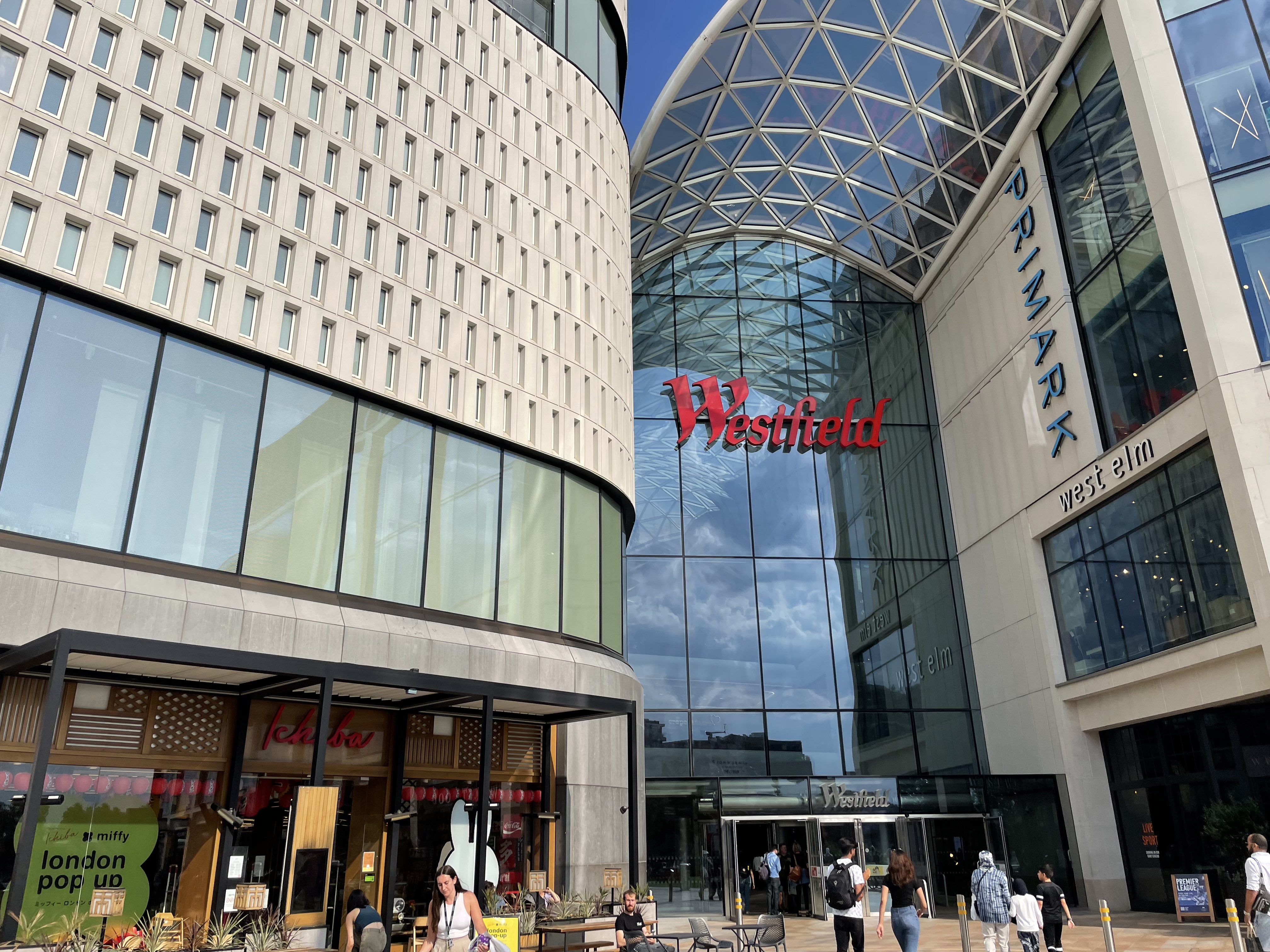
Westfield London is a large shopping centre in White City, west London, England, developed by the Westfield Group at a cost of £1.6bn, on a brownfield site formerly the home of the 1908 Franco-British Exhibition. The site is bounded by the West Cross Route ( A3220), the Westway ( A40) and Wood Lane ( A219). It opened on 30 October 2008 and became the largest covered shopping development in the capital; originally a retail floor area of , further investment and expansion led to it becoming the largest shopping centre in Europe by March 2018, an area of . The mall is anchored by department stores John Lewis, Marks & Spencer, and House of Fraser, as well as multi brand retailer Next and large fast fashion brand Primark. Former anchor Debenhams closed down in April 2020. History The development is on a large brownfield site, part of which was once the location of the 1908 Franco-British Exhibition. The initial site clearance demolished the set of halls still remaining from the ... [...More Info...] [...Related Items...] OR: [Wikipedia] [Google] [Baidu] |
West London Tram
The West London Tram (also known as West London Transit) was a proposed on-street light rail line that was to run along the Uxbridge Road ( A4020) corridor in West London, England. The scheme was promoted by Transport for London (TfL). It was postponed indefinitely on 2 August 2007, as it was opposed by the then councils of all three bisected London Boroughs.Controversial tram plan derailed '''' 3 August 2007 The tram route was planned to run between and |
Privatisation Of London Bus Services
The privatisation of London bus services was the process of the transfer of operation of buses in London from public bodies to private companies. For half a century, operation of London bus services for public transport was under the direct control of a number of entities known as London Transport. The London Regional Transport Act 1984 resulted in London Regional Transport taking control of London's bus routes, with the operation divested in stand alone companies that were privatised in 1994/95. Since then, direct provision of bus services in London has been run by private companies, although Transport for London did operate its own company, East Thames Buses between 1999 and 2009. Unlike those in the rest of the United Kingdom, the bus services in London, although still ultimately privatised, were not deregulated to the same extent. In London, details of routes, fares and services levels were still specified by public bodies, with the right to run the services contracted t ... [...More Info...] [...Related Items...] OR: [Wikipedia] [Google] [Baidu] |
First London
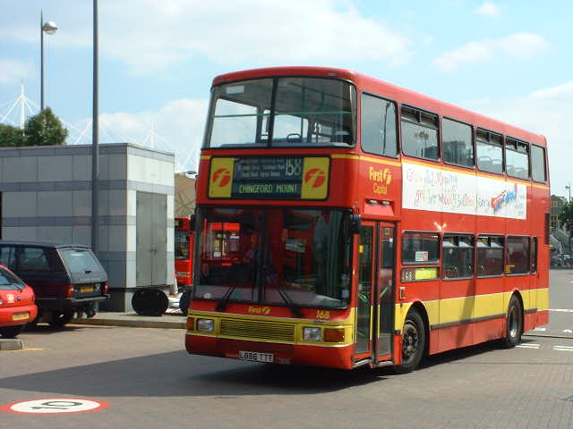
First London was a bus company operating services in east and west Greater London, England. It was a subsidiary of FirstGroup and operated buses under contract to Transport for London. It was formed in the late 1990s through the acquisition of three London bus operators. First London's garages were sold off between December 2007 and June 2013 with the last closing in September 2013. Company history FirstGroup was formed as FirstBus on 16 May 1995, through the merger of Badgerline and the GRT Group. Although what became First London was established in 1997, FirstBus could trace its involvement in London bus services back to 1990 when Badgerline acquired Eastern National, the Essex-based former National Bus Company subsidiary that had operated numerous routes in East London since tendering began in 1985. These operations were subsequently transferred to a new division, Thamesway Buses, before being recombined with Eastern National in the late 1990s as First Essex. In Marc ... [...More Info...] [...Related Items...] OR: [Wikipedia] [Google] [Baidu] |


.jpg)


_Portrait_of_Robert_Cheseman_(1485-1547)_Mauritshuis_276.jpg)


_and_RML2680_(SMK_680F)%2C_Routes_23_&_11%2C_Strand%2C_London.jpg)
