|
Limey Way
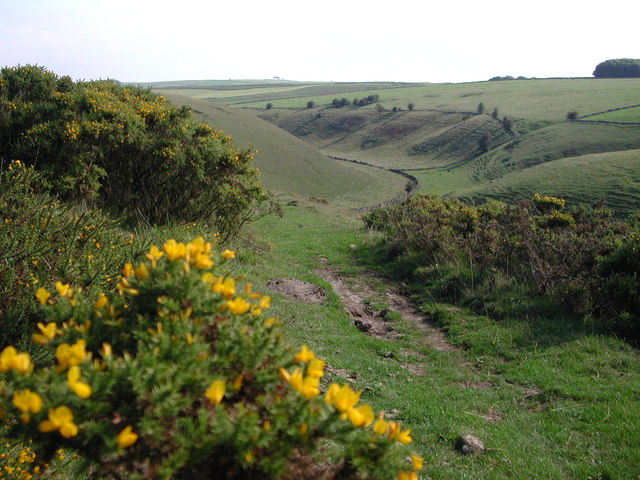
The Limey Way is a challenge walk through Derbyshire Derbyshire ( ) is a ceremonial county in the East Midlands, England. It includes much of the Peak District National Park, the southern end of the Pennine range of hills and part of the National Forest. It borders Greater Manchester to the nor ..., England. It starts at Castleton and progresses through 15 major and 5 minor limestone dales to reach the River Dove and Dovedale, the walk's end. The walk was first walked by John Merrill and was devised, created and inaugurated by him in May 1969. He wrote a copyright guide to the walk, which has been updated and enlarged over the years. More than 75,000 people have walked the route in either under 24 hours - Red Badge or under 48 hours - Green badge. References * The Limey Way published by The John Merrill Foundation 1989. The original guidebook in December 1969. See The Limey Way page on www.daychallengewalks.com {{coord, 53.1833, -1.7395, type:landmark_dim:35000_re ... [...More Info...] [...Related Items...] OR: [Wikipedia] [Google] [Baidu] |
Derbyshire
Derbyshire ( ) is a ceremonial county in the East Midlands, England. It includes much of the Peak District National Park, the southern end of the Pennine range of hills and part of the National Forest. It borders Greater Manchester to the north-west, West Yorkshire to the north, South Yorkshire to the north-east, Nottinghamshire to the east, Leicestershire to the south-east, Staffordshire to the west and south-west and Cheshire to the west. Kinder Scout, at , is the highest point and Trent Meadows, where the River Trent leaves Derbyshire, the lowest at . The north–south River Derwent is the longest river at . In 2003, the Ordnance Survey named Church Flatts Farm at Coton in the Elms, near Swadlincote, as Britain's furthest point from the sea. Derby is a unitary authority area, but remains part of the ceremonial county. The county was a lot larger than its present coverage, it once extended to the boundaries of the City of Sheffield district in South Yorkshire where it cov ... [...More Info...] [...Related Items...] OR: [Wikipedia] [Google] [Baidu] |
Monyash
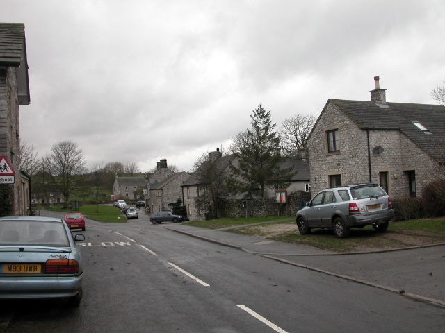
Monyash (/muhn-ee-ash/ munyash) is a village and civil parish in the Peak District, Derbyshire, England, west of the market town Bakewell. It is centred on a village green above sea level at the head of Lathkill Dale in the limestone area known as the White Peak. At the 2011 census, it had a population of 314. Tourism and farming (milk, beef and lamb) are the predominant activities of the village. The area was once an important meeting place, a watering point for drovers’ animals at the intersection of several trade routes, and industrial centre supporting the local lead mining industry.Johnston, Robert and Shirley Johnston, (2010), Monyash: The Making of a Derbyshire Village, The Horizon Press, Ashbourne, History People have been living in and around Monyash since Neolithic times (3750–1750 BC) and probably before then. The nearby impressive stone circle and henge, Arbor Low, was likely built around 2000 BC by people living in the village who also farmed the relativ ... [...More Info...] [...Related Items...] OR: [Wikipedia] [Google] [Baidu] |
Long-distance Footpaths In England
Long distance or Long-distance may refer to: *Long-distance calling *Long-distance operator *Long-distance relationship * Long-distance train *Long-distance anchor pylon, see dead-end tower Footpaths *Long-distance trail *European long-distance paths *Long Distance Routes, official term for footpaths in Scotland *List of long-distance footpaths *Long-distance footpaths in the United Kingdom *Long-distance trails in the United States *Long-distance trails in the Republic of Ireland Arts and media * ''Long Distance'' (Ivy album), 2001 * ''Long Distance'' (Runrig album), 1996 * "Long Distance" (song), a 2008 song by Brandy Norwood * "Long Distance" (Melanie Amaro song), 2012 *"Long Distance", by 8stops7 from the album ''Birth of a Cynic'' *Long Distance (film), a 1961 Australian television film *''Long Distance'', a 2015 IDW Publishing comics series Sports *Long-distance riding *Long-distance running *Long-distance swimming See also *"Long Distance Call", an episode of ' ... [...More Info...] [...Related Items...] OR: [Wikipedia] [Google] [Baidu] |
Footpaths In Staffordshire
A footpath (also pedestrian way, walking trail, nature trail) is a type of thoroughfare that is intended for use only by pedestrians and not other forms of traffic such as Motor vehicle, motorized vehicles, bicycles and horseback, horses. They can be found in a wide variety of places, from the centre of cities, to farmland, to mountain ridges. Urban footpaths are usually paved, may have steps, and can be called alleys, lanes, steps, etc. National parks, nature preserves, conservation areas and other protected wilderness areas may have footpaths (trails) that are restricted to pedestrians. The term footpath can also describe a pavement/sidewalk in some English-speaking countries (such as Australia, New Zealand, and Ireland). A footpath can also take the form of a footbridge, linking two places across a river. Origins and history Public footpaths are rights of way originally created by people walking across the land to work, market, the next village, church, and school. This in ... [...More Info...] [...Related Items...] OR: [Wikipedia] [Google] [Baidu] |
Footpaths In Derbyshire
A footpath (also pedestrian way, walking trail, nature trail) is a type of thoroughfare that is intended for use only by pedestrians and not other forms of traffic such as motorized vehicles, bicycles and horses. They can be found in a wide variety of places, from the centre of cities, to farmland, to mountain ridges. Urban footpaths are usually paved, may have steps, and can be called alleys, lanes, steps, etc. National parks, nature preserves, conservation areas and other protected wilderness areas may have footpaths (trails) that are restricted to pedestrians. The term footpath can also describe a pavement/sidewalk in some English-speaking countries (such as Australia, New Zealand, and Ireland). A footpath can also take the form of a footbridge, linking two places across a river. Origins and history Public footpaths are rights of way originally created by people walking across the land to work, market, the next village, church, and school. This includes Mass paths and C ... [...More Info...] [...Related Items...] OR: [Wikipedia] [Google] [Baidu] |
Thorpe Cloud
Thorpe Cloud is an isolated limestone hill (a reef knoll) lying between the villages of Thorpe and Ilam on the Derbyshire/Staffordshire border at the southern end of Dovedale. It is a popular hill amongst the many day-trippers who visit the area, and provides a fine viewpoint north up the dale and south across the Midland plain. Like much of the dale, including Bunster Hill on the opposite bank, it is in the ownership of the National Trust, and is part of their South Peak Estate. These Dovedale properties were acquired by the Trust in 1934. A double sunset can sometimes be seen against Thorpe Cloud from the top of nearby Lin Dale, as captured on film by the photographer Chris Doherty. The occurrence is visible in good weather on and around the summer solstice and perhaps beyond, when the sun sets on the summit of the hill, partially reappears from its steep northern slope and sets for a second and final time shortly afterwards. Thorpe Cloud and Dovedale were used as locations ... [...More Info...] [...Related Items...] OR: [Wikipedia] [Google] [Baidu] |
Milldale (Peak District)
Dovedale is a valley in the Peak District of England. The land is owned by the National Trust and attracts a million visitors annually. The valley was cut by the River Dove and runs for just over between Milldale in the north and a wooded ravine, near Thorpe Cloud and Bunster Hill, in the south. In the wooded ravine, a set of stepping stones cross the river and there are two caves known as the ''Dove Holes''. Dovedale's other attractions include rock pillars such as ''Ilam Rock'', ''Viator's Bridge'' and the limestone features ''Lovers' Leap'' and ''Reynard's Cave''. Geology The limestone rock that forms the geology of Dovedale is the fossilised remains of sea creatures that lived in a shallow sea over the area during the Carboniferous period, about 350 million years ago. During the two ice ages, the limestone rock (known as reef limestone) was cut into craggy shapes by glacial meltwater, and dry caves such as Dove Holes and Reynard's Kitchen Cave were eventually formed ... [...More Info...] [...Related Items...] OR: [Wikipedia] [Google] [Baidu] |
Long Dale
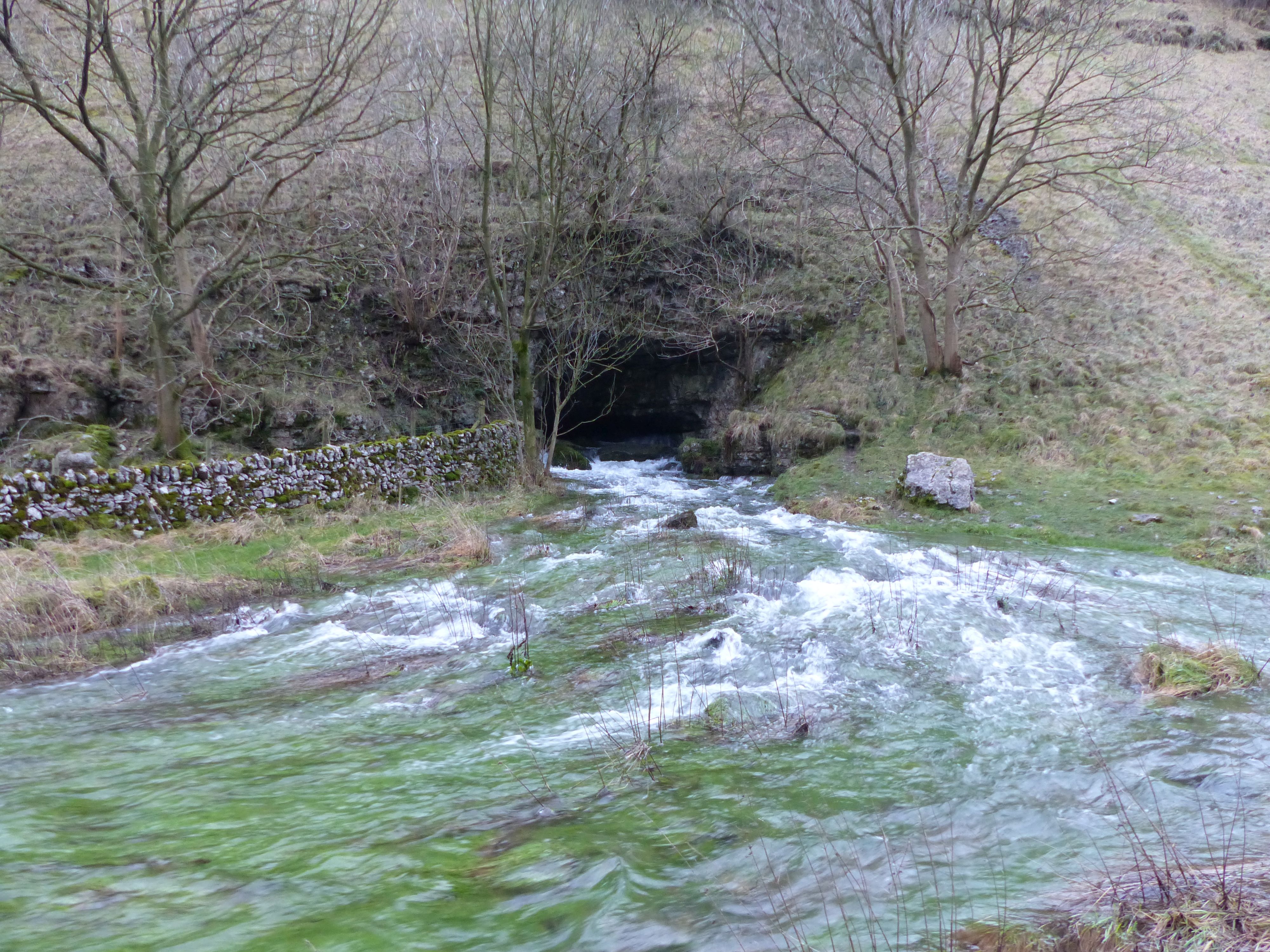
Long Dale is a carboniferous limestone valley near the village of Elton, Derbyshire, in the Peak District of England. The dale is cut into the plateau of Gratton Moor and Smerrill Moor and lies to the north of the hamlet of Pikehall, which is the venue of the annual Y Not Festival. Midway down the valley it turns sharply left and is known as Gratton Dale. Most of the valley is dry but Rowlow Brook flows down the lower part of Gratton Dale towards Dale End and onwards to become the River Bradford at Youlgreave. Long Dale is part of the Derbyshire Dales National Nature Reserve. Natural England manages the reserve which covers five separate dales of the White Peak (Lathkill Dale, Cressbrook Dale, Hay Dale, Long Dale and Monk's Dale). The reserve contains ash and elm woodland and shrubs including hawthorn and elder. Abundant flowers include mountain pansy. On the spoil heaps of the old lead mines there are rare flowers such as spring sandwort (''Minuartia verna'') and alpine pennycre ... [...More Info...] [...Related Items...] OR: [Wikipedia] [Google] [Baidu] |
Gratton Dale
{{disambiguation, geo ...
Gratton may refer to: *Gratton (surname) * Gratton, Derbyshire, England * Gratton, former settlement in Devon, England See also * Graton (other) Graton may refer to: *Graton, California, an unincorporated town in Sonoma County *Graton Rancheria, a former federal land holding *Graton Resort & Casino, Sonoma County *Françoise Graton (1930–2014), Québécoise actress *Jean Graton (1923–20 ... [...More Info...] [...Related Items...] OR: [Wikipedia] [Google] [Baidu] |
Lathkill Dale
Lathkill Dale is the valley of the River Lathkill near Bakewell, Derbyshire in the Peak District of England. The river emerges into the dale from springs below Lathkill Head Cave (or, in wet conditions, from the cave itself). Towards the head of the dale is the side valley Cales Dale. Nature reserve The river valley is part of the Derbyshire Dales National Nature Reserve and is popular with tourists who visit for its natural environment and wildlife. Natural England manages the reserve which covers five separate dales of the White Peak (Lathkill Dale, Cressbrook Dale, Hay Dale, Long Dale and Monk’s Dale). The dale includes two Sites of Special Scientific Interest (SSSIs) and areas designated as Open Access Land in the Countryside and Rights of Way Act 2000. Lathkill Dale is known for its range of wildflower species (including orchids and the rare Jacob's ladder), butterflies, ancient woodland and the presence of birds of prey, dippers, woodpeckers and water voles. T ... [...More Info...] [...Related Items...] OR: [Wikipedia] [Google] [Baidu] |
Deep Dale
Deep Dale is a short steep-sided gorge near Buxton, Derbyshire, in the Peak District of England. It is distinct from another Deep Dale, near Sheldon, to the east. The dale is cut into a plateau of farmland and lies just south west of the hamlet of King Sterndale. The head of the valley is called Back Dale and there is a side valley called Horseshoe Dale. Wye Dale is at the foot of the valley to the north. The valley is dry over the summer but has a winterbourne stream, fed by the Deepdale Side Resurgence spring and another spring by Thirst House Cave further up the valley. The stream runs into the River Wye. Thirst House Cave's name is derived from Th'Hurst House as it was earlier called Hob Hurst House, named after a goblin believed to live in the cave (not to be confused with Hob Hurst's House prehistoric burial mound on Beeley Moor). The cave is long. Local men Micah Salt and Robert Milletts excavated the cave in the 1880s and 1890s, after boys found a bear's skull in the ... [...More Info...] [...Related Items...] OR: [Wikipedia] [Google] [Baidu] |
England
England is a country that is part of the United Kingdom. It shares land borders with Wales to its west and Scotland to its north. The Irish Sea lies northwest and the Celtic Sea to the southwest. It is separated from continental Europe by the North Sea to the east and the English Channel to the south. The country covers five-eighths of the island of Great Britain, which lies in the North Atlantic, and includes over 100 smaller islands, such as the Isles of Scilly and the Isle of Wight. The area now called England was first inhabited by modern humans during the Upper Paleolithic period, but takes its name from the Angles, a Germanic tribe deriving its name from the Anglia peninsula, who settled during the 5th and 6th centuries. England became a unified state in the 10th century and has had a significant cultural and legal impact on the wider world since the Age of Discovery, which began during the 15th century. The English language, the Anglican Church, and Engli ... [...More Info...] [...Related Items...] OR: [Wikipedia] [Google] [Baidu] |


