|
Leipzig–Großkorbetha Railway
The Leipzig–Großkorbetha railway is a double track electrified in the German states of Saxony-Anhalt and Saxony, which connects the city of Leipzig and the Thuringian Railway. It runs from Leipzig via Markranstädt and Bad Dürrenberg to Großkorbetha. History The line was opened on 22 March 1856 by the Thuringian Railway Company (german: Thüringische Eisenbahn-Gesellschaft) and is one of the List of the first German railways to 1870, oldest railways in Germany. At that time it started in the Thüringer Bahnhof (Thuringian station) in Leipzig, which was on the eastern edge of the site of the Leipzig Hauptbahnhof (central station), which opened in 1913. The line quickly developed into one of the busiest lines in Central Germany (cultural area), central Germany. The line was electrified on 2 November 1942, but four years later in 1946 the electrical equipment was taken down and moved to the Soviet Union as war reparations, reparations for World War II. In 1964 it was re-electr ... [...More Info...] [...Related Items...] OR: [Wikipedia] [Google] [Baidu] |
Saxony-Anhalt
Saxony-Anhalt (german: Sachsen-Anhalt ; nds, Sassen-Anholt) is a state of Germany, bordering the states of Brandenburg, Saxony, Thuringia and Lower Saxony. It covers an area of and has a population of 2.18 million inhabitants, making it the 8th-largest state in Germany by area and the 11th-largest by population. Its capital is Magdeburg and its largest city is Halle (Saale). The state of Saxony-Anhalt was formed in July 1945 after World War II, when the Soviet army administration in Allied-occupied Germany formed it from the former Prussian Province of Saxony and the Free State of Anhalt. Saxony-Anhalt became part of the German Democratic Republic in 1949, but was dissolved in 1952 during administrative reforms and its territory divided into the districts of Halle and Magdeburg. Following German reunification the state of Saxony-Anhalt was re-established in 1990 and became one of the new states of the Federal Republic of Germany. Saxony-Anhalt is renowned for its ri ... [...More Info...] [...Related Items...] OR: [Wikipedia] [Google] [Baidu] |
Erfurt
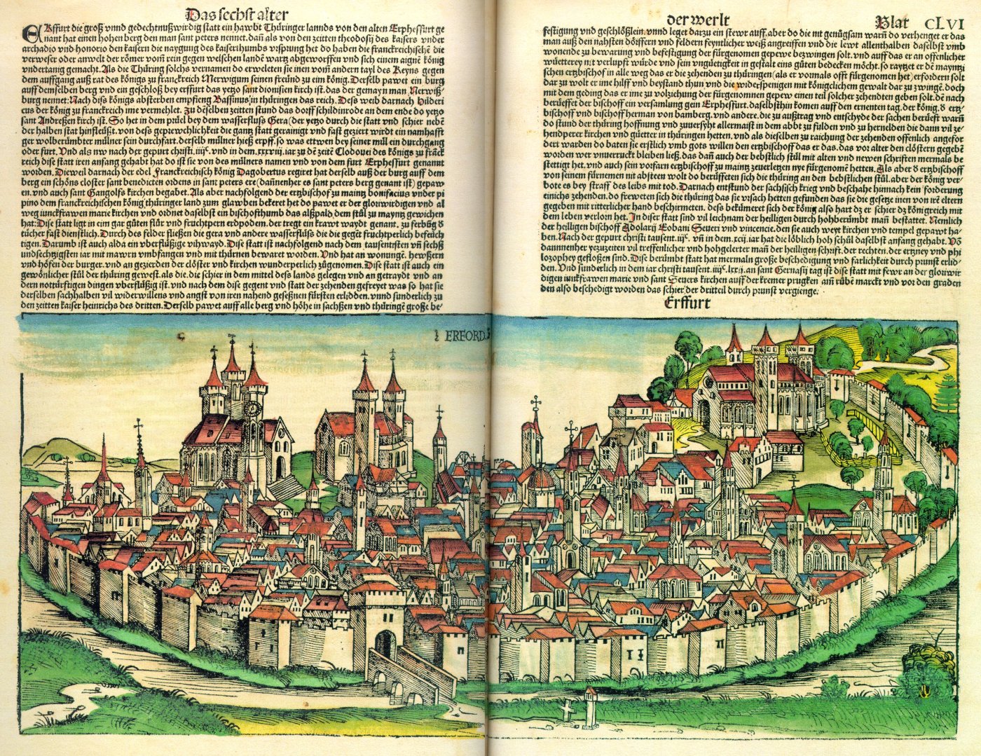
Erfurt () is the capital and largest city in the Central German state of Thuringia. It is located in the wide valley of the Gera river (progression: ), in the southern part of the Thuringian Basin, north of the Thuringian Forest. It sits in the middle of an almost straight line of cities consisting of the six largest Thuringian cities forming the central metropolitan corridor of the state, the "Thuringian City Chain" ('' Thüringer Städtekette'') with more than 500,000 inhabitants, stretching from Eisenach in the west, via Gotha, Erfurt, Weimar and Jena, to Gera in the east. Erfurt and the city of Göttingen in southern Lower Saxony are the two cities with more than 100,000 inhabitants closest to the geographic center of Germany. Erfurt is located south-west of Leipzig, north-east of Frankfurt, south-west of Berlin and north of Munich. Erfurt's old town is one of the best preserved medieval city centres in Germany. Tourist attractions include the Merchants' Bridge (''K ... [...More Info...] [...Related Items...] OR: [Wikipedia] [Google] [Baidu] |
Großkorbetha Station
Großkorbetha station is a railway station in the municipality of Großkorbetha, located in the Burgenlandkreis district in Saxony-Anhalt, Germany Germany,, officially the Federal Republic of Germany, is a country in Central Europe. It is the second most populous country in Europe after Russia, and the most populous member state of the European Union. Germany is situated betwe .... References {{reflist, 30em Railway stations in Saxony-Anhalt Buildings and structures in Burgenlandkreis ... [...More Info...] [...Related Items...] OR: [Wikipedia] [Google] [Baidu] |
Halle (Saale)
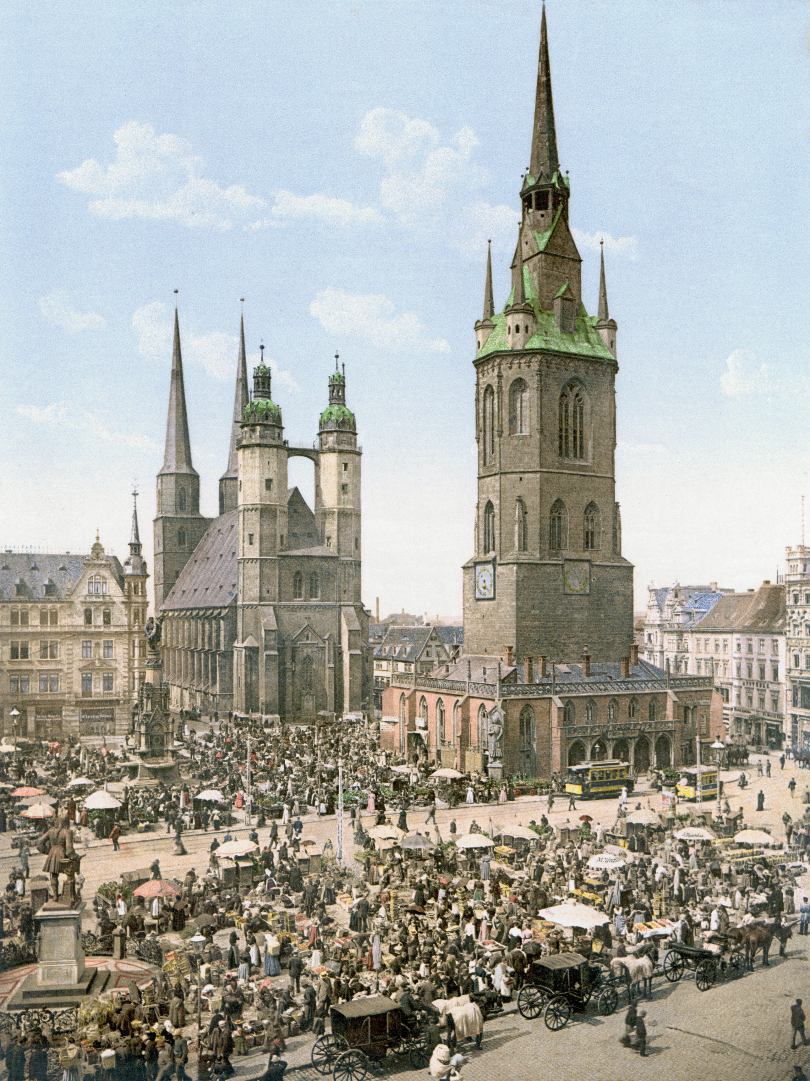
Halle (Saale), or simply Halle (; from the 15th to the 17th century: ''Hall in Sachsen''; until the beginning of the 20th century: ''Halle an der Saale'' ; from 1965 to 1995: ''Halle/Saale'') is the largest city of the Germany, German States of Germany, state of Saxony-Anhalt, the fifth most populous city in the area of former East Germany after (East Berlin, East) Berlin, Leipzig, Dresden and Chemnitz, as well as the List of cities in Germany by population, 31st largest city of Germany, and with around 239,000 inhabitants, it is slightly more populous than the state capital of Magdeburg. Together with Leipzig, the largest city of Saxony, Halle forms the polycentric Leipzig-Halle conurbation. Between the two cities, in Schkeuditz, lies Leipzig/Halle Airport, Leipzig/Halle International Airport. The Leipzig-Halle conurbation is at the heart of the larger Central German Metropolitan Region. Halle lies in the south of Saxony-Anhalt, in the Leipzig Bay, the southernmost part of the N ... [...More Info...] [...Related Items...] OR: [Wikipedia] [Google] [Baidu] |
Thuringian Railway
Thuringian is an East Central German dialect group spoken in much of the modern German Free State of Thuringia north of the Rennsteig ridge, southwestern Saxony-Anhalt and adjacent territories of Hesse and Bavaria. It is close to Upper Saxon spoken mainly in the state of Saxony, therefore both are also regarded as one Thuringian-Upper Saxon dialect group. Thuringian dialects are among the Central German dialects with the highest number of speakers. History Thuringian emerged during the medieval German '' Ostsiedlung'' migration from about 1100, when settlers from Franconia (Main Franconia), Bavaria, Saxony, and Flanders settled in the areas east of the Saale River previously inhabited by Polabian Slavs. Characteristics The Thuringian dialect is characterized by a rounding of the vowels, the weakening of consonants of Standard German (the lenition of the consonants "p," "t," and "k"), a marked difference in the pronunciation of the "g" sound (which is most common in the areas of ... [...More Info...] [...Related Items...] OR: [Wikipedia] [Google] [Baidu] |
Saale
The Saale (), also known as the Saxon Saale (german: Sächsische Saale) and Thuringian Saale (german: Thüringische Saale), is a river in Germany and a left-bank tributary of the Elbe. It is not to be confused with the smaller Fränkische Saale, Franconian Saale, a right-bank tributary of the Main (river), Main, or the Saale (Leine), Saale in Lower Saxony, a tributary of the Leine. Etymology The name ''Saale'' comes from the Proto-Indo-European language, Proto-Indo-European root wikt:Reconstruction:Proto-Indo-European/sélos, *''séles'' 'marsh', akin to Welsh language, Welsh ''hêl, heledd'' 'river meadow', Cornish language, Cornish ''heyl'' 'estuary', Ancient Greek, Greek ''hélos'' 'marsh, meadow', Sanskrit ''sáras'' 'lake, pond', Sarasvati River, ''Sárasvati'' 'sacred river', Old Persian ''Harauvati'' 'Harut River, Hārūt River; Arachosia', Avestan ''Haraxvatī'', idem. It may also be related to the Indo-European root *''sal'', "salt". The Slavic name of the Saale, ''Sola ... [...More Info...] [...Related Items...] OR: [Wikipedia] [Google] [Baidu] |
Bad Dürrenberg Station
Bad Dürrenberg station (german: Haltepunkt Bad Dürrenberg) is a railway station in the municipality of Bad Dürrenberg, located in the Saalekreis district in Saxony-Anhalt, Germany Germany,, officially the Federal Republic of Germany, is a country in Central Europe. It is the second most populous country in Europe after Russia, and the most populous member state of the European Union. Germany is situated betwe .... References {{Authority control Railway stations in Saxony-Anhalt Buildings and structures in Saalekreis ... [...More Info...] [...Related Items...] OR: [Wikipedia] [Google] [Baidu] |
Kötzschau
Kötzschau is a village and a former municipality in the district Saalekreis, in Saxony-Anhalt, Germany. Today, it is a part of Leuna. Kötzschau is situated approximately 11 km southeast of Merseburg and has a population close to 2,000. Geography Location Kötzschau is located to the extreme southeast of the municipality of Leuna, and to the east of Saalekreis district and of Saxony-Anhalt. It borders directly on Markranstädt, Saxony. The Saale passes to the west. The brook flows from the southeast to the northwest through Kötzschau. At Schladebach, it is dammed to form the ''Speicher Schladebach''. Subdivisions Kötzschau consists of the ''Ortsteile'' Kötzschau, , , and . History Kötzschau had its first documentary mention in 1205 (Schladebach 1012, Thalschütz 1225, Witzschersdorf 1285, Rampitz 1479). For several centuries, Kötzschau was notable mainly for the presence of a local brine spring and the use of a ''Saline'' (which in German refers to a structure emp ... [...More Info...] [...Related Items...] OR: [Wikipedia] [Google] [Baidu] |
Bundesautobahn 9
is an autobahn in Germany, connecting Berlin and Munich via Leipzig and Nuremberg. It is the fifth longest autobahn spanning . Route The northern terminus of the A 9 is at the Potsdam interchange, where it merges into the A 10, also known as the "''Berliner Ring''", about away from the Berlin city limits. The shortest route from there into Berlin would be the A 10 (east) and the A 115 (AVUS). The southern end is in the Munich borough of Schwabing. On its way, the A 9 passes through the German states of Brandenburg, Saxony-Anhalt, Thuringia, and Bavaria. West of Leipzig, the border between Saxony-Anhalt and Saxony crisscrosses along the autobahn. In Bavaria, long sections of the Nuremberg–Munich high-speed railway run parallel to the autobahn. History Plans for a European motorway connection from Berlin to Rome were already developed from 1927 by a private ''MüLeiBerl'' (Munich-Leipzig-Berlin) company. However, construction of the A 9 wa ... [...More Info...] [...Related Items...] OR: [Wikipedia] [Google] [Baidu] |
Markranstädt
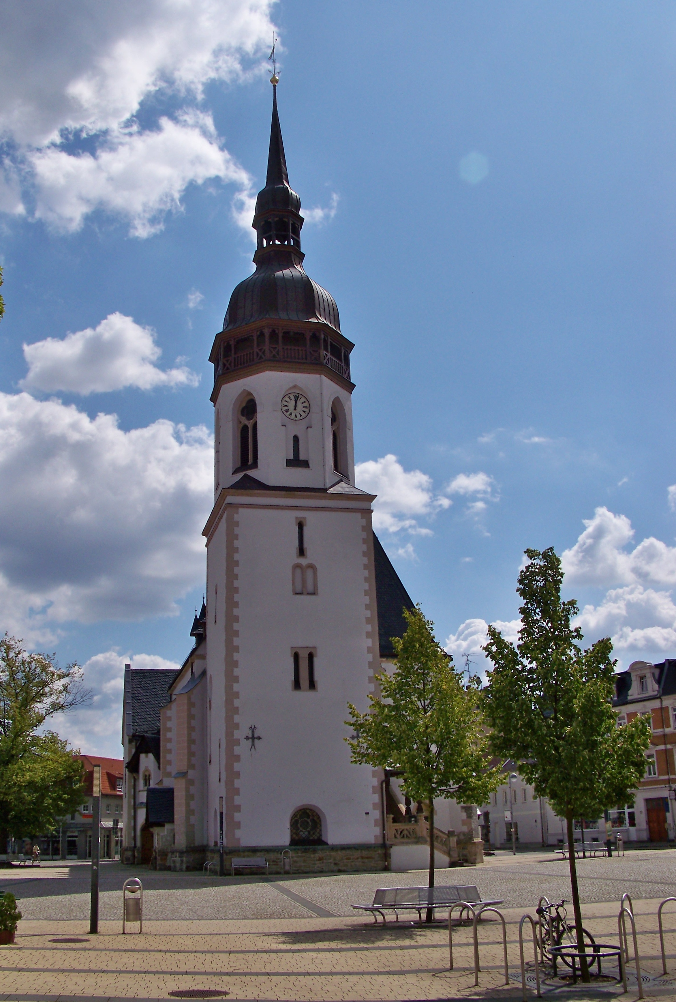
Markranstädt () is a town in the Leipzig district, in Saxony, Germany. It is situated 11 km southwest of the city of Leipzig and has close to 15,000 inhabitants. Geography Location Markranstädt is located about south-west of Leipzig city centre, between Saxony-Anhalt and the Leipzig housing estate , to the west of the ''Kulkwitzer See''. It is the only municipality in the ''Landkreis Leipzig'' that lies west of the city. Divisions Markranstädt is a municipality consisting of the town itself and the following six ''Ortschaften'' (localities), each containing several ''Ortsteile'' or divisions:Hauptsatzung der Stadt Markranstädt September 2016. *Frankenheim (incl. Lindennaundorf and Priesteblich) *Großlehna (incl. |


.jpg)

