|
Killhope Cross
Killhope Cross (elevation ) is a mountain pass in the English Pennines. The pass divides Weardale to the east and Cumbria to the west. The road over the pass, the (A689) from Hartlepool to Carlisle, Cumbria, connects the hamlet of Cornriggs in County Durham with the town of Alston, Cumbria. It is the equal highest paved pass in England with the Harthope Moss approximately to the south, on the other side of Burnhope Seat (). The pass is named for a Grade-II-listed boundary cross at the highest point of the pass, described as "of uncertain date but possibly medieval". See also * List of highest paved roads in Europe * List of mountain passes This is a list of mountain passes. Africa Egypt * Halfaya Pass (near Libya) Lesotho * Moteng Pass * Mahlasela pass * Sani Pass Morocco * Tizi n'Tichka South Africa * Eastern Cape Passes * Western Cape Passes * Northern Cape Passes * Kwa ... References External linksProfile on climbbybike.com Killhope Cross Stanhope, Count ... [...More Info...] [...Related Items...] OR: [Wikipedia] [Google] [Baidu] |
A689
The A689 is a road in northern England that runs east from the A595, to the west of Carlisle in Cumbria, to Hartlepool in County Durham. The road begins west of Carlisle, just outside the city at the A595. The initial stretch was recently constructed as part of the Carlisle Northern Development Route, a road bypassing Carlisle from west to north. Crossing the River Eden and the West Coast Main Line, the road intersects with Junction 44 of the M6 at Greymoorhill. From Junction 44 of the M6, the A689 runs roughly south-east to a roundabout, with the B6264. From here, the A689 heads east, and crosses the River Irthing at Ruleholme, then it meets the A69 at a roundabout junction. The A689 joins the route of the A69 around part of the Brampton bypass. Near the village of Milton, the A689 turns right, and continues through Milton and Hallbankgate before crossing the border into the county of Northumberland. The route continues roughly south-east, and re-enters the county of ... [...More Info...] [...Related Items...] OR: [Wikipedia] [Google] [Baidu] |
Cornriggs
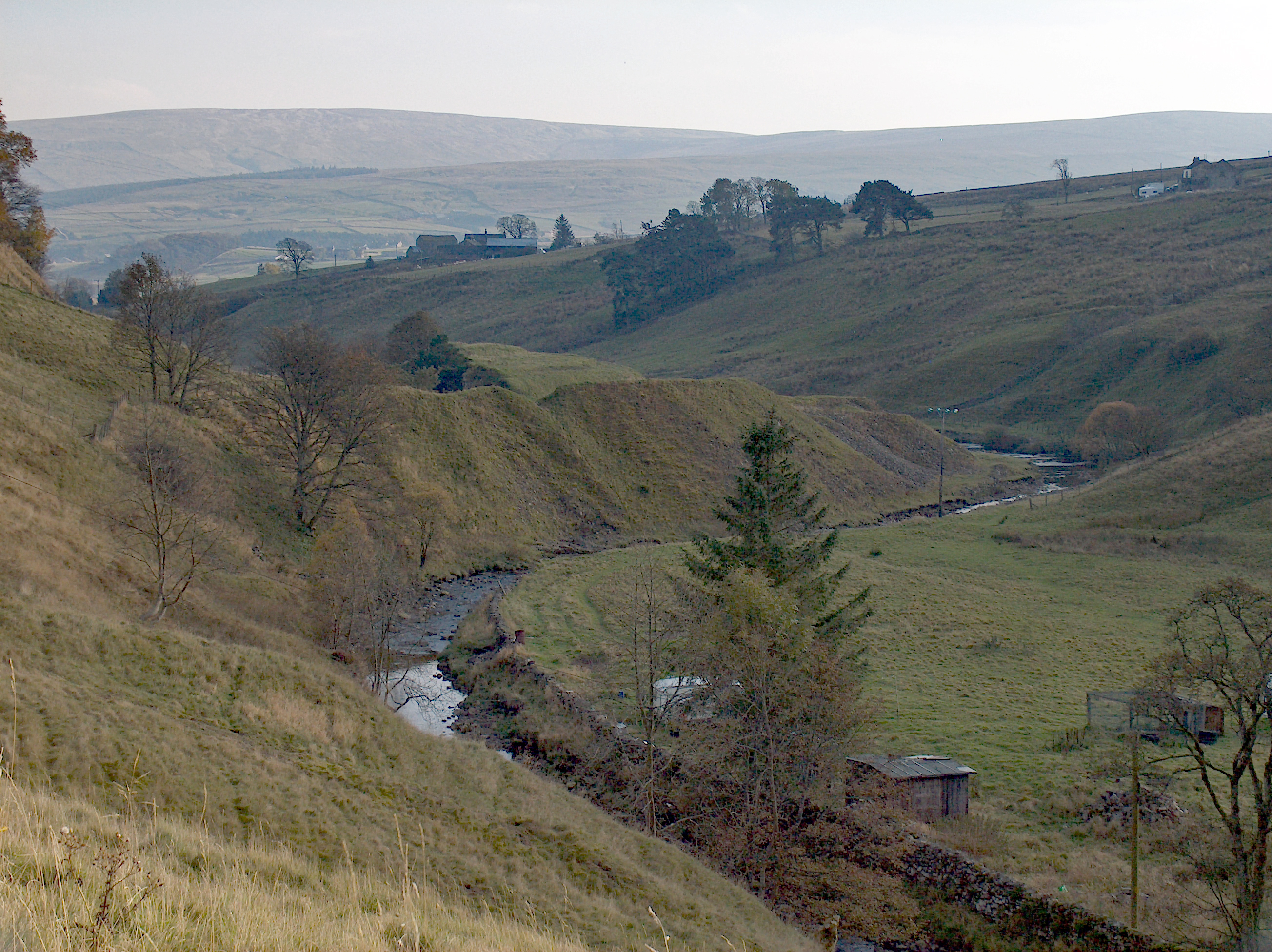
Cornriggs is a hamlet in County Durham, England. It is situated on the north side of Weardale in the North Pennines, which is designated as both an Area of Outstanding Natural Beauty and a UNESCO Global Geopark. The hamlet lies around the A689 road between the villages of Lanehead and Cowshill and is located near Killhope Burn, a tributary of the River Wear. It primarily consists of Low Cornriggs Farm and there is also a small number of other buildings around the area. Low Cornriggs Farm had fallen out of use by the early 1970s and the farmhouse remained empty and derelict for twenty years until purchased in the early 1990s. The new owner embarked on a series of renovations, including restoring footpaths and walls on the property, breeding animals native to the local area, and converting the farmhouse into a bed and breakfast Bed and breakfast (typically shortened to B&B or BnB) is a small lodging establishment that offers overnight accommodation and breakfast. Bed and b ... [...More Info...] [...Related Items...] OR: [Wikipedia] [Google] [Baidu] |
Weardale
Weardale is a dale, or valley, on the east side of the Pennines in County Durham, England. Large parts of Weardale fall within the North Pennines Area of Outstanding Natural Beauty (AONB) – the second-largest AONB in England and Wales. The upper dale is surrounded by high fells (up to O.D. at Burnhope Seat) and heather grouse moors. The River Wear flows through Weardale before reaching Bishop Auckland and then Durham, meeting the sea at Sunderland. The Wear Valley local government district covered the upper part of the dale, including Weardale, between 1974 and 2009, when it was abolished on County Durham's becoming a unitary authority. (From 1894 to 1974 there was a Weardale Rural District.) Upper Weardale is in the parliamentary constituency of North West Durham. The dale's principal settlements include St John's Chapel and the towns of Crook, Stanhope and Wolsingham. Local climate Weardale's winters are typically harsh and prolonged with regular snow, nowadays ta ... [...More Info...] [...Related Items...] OR: [Wikipedia] [Google] [Baidu] |
Nenthead
Nenthead ( ) in the county of Cumbria is one of England's highest villages, at around . It was not built until the middle of the 18th century and was one of the earliest purpose-built industrial villages in Britain. History Nenthead was a major centre for lead and silver mining in the North Pennines of Britain. The first smelt mill was built at Nenthead in 1737 by George Liddle, and this was subsequently expanded by the London Lead Company. By 1882 the smelt mill was capable of smelting 8,000 bings, i.e., , of ore per annum. Nenthead village in 1861 had 2,000 people, mostly Methodist and employed by the Quaker-owned London Lead Company in the Nenthead Mines - some of the most productive in the country. The Quakers built housing, a school, a reading room, public baths and a wash-house for the miners and their families. Nenthead has accessible mines remaining, horse whims and a engine shaft in Rampghill. The mines closed in 1961 and there is a heritage centre displaying the ... [...More Info...] [...Related Items...] OR: [Wikipedia] [Google] [Baidu] |
Alston, Cumbria
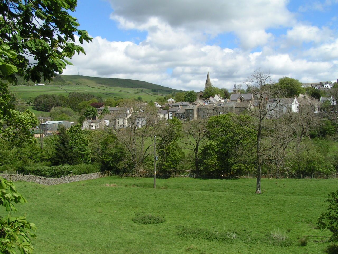
Alston is a town in Cumbria, England, within the civil parish of Alston Moor on the River South Tyne. It shares the title of the 'highest market town in England', at about above sea level, with Buxton, Derbyshire. Despite its altitude, the town is easily accessible via the many roads which link the town to Weardale, Teesdale, and towns in Cumbria such as Penrith via Hartside Pass, as well as Tynedale. Historically part of Cumberland, Alston lies within the North Pennines, a designated Area of Outstanding Natural Beauty. Much of the town centre is a designated Conservation Area which includes several listed buildings. Geography Alston lies within the North Pennines Area of Outstanding Natural Beauty, more than by road from the nearest town, Haltwhistle, and is surrounded by moorland. Nearby villages include Garrigill and Nenthead. It is around west of Newcastle upon Tyne, south east of Carlisle, north east of Penrith, and south west of Hexham. Situated at the crossroads/j ... [...More Info...] [...Related Items...] OR: [Wikipedia] [Google] [Baidu] |
England
England is a country that is part of the United Kingdom. It shares land borders with Wales to its west and Scotland to its north. The Irish Sea lies northwest and the Celtic Sea to the southwest. It is separated from continental Europe by the North Sea to the east and the English Channel to the south. The country covers five-eighths of the island of Great Britain, which lies in the North Atlantic, and includes over 100 smaller islands, such as the Isles of Scilly and the Isle of Wight. The area now called England was first inhabited by modern humans during the Upper Paleolithic period, but takes its name from the Angles, a Germanic tribe deriving its name from the Anglia peninsula, who settled during the 5th and 6th centuries. England became a unified state in the 10th century and has had a significant cultural and legal impact on the wider world since the Age of Discovery, which began during the 15th century. The English language, the Anglican Church, and Engli ... [...More Info...] [...Related Items...] OR: [Wikipedia] [Google] [Baidu] |
Mountain Pass
A mountain pass is a navigable route through a mountain range or over a ridge. Since many of the world's mountain ranges have presented formidable barriers to travel, passes have played a key role in trade, war, and both Human migration, human and animal migration throughout history. At lower elevations it may be called a hill pass. A mountain pass is typically formed between two volcanic peaks or created by erosion from water or wind. Overview Mountain passes make use of a gap (landform), gap, saddle (landform), saddle, col or notch (landform), notch. A topographic saddle is analogous to the mathematical concept of a saddle surface, with a saddle point marking the highest point between two valleys and the lowest point along a ridge. On a topographic map, passes are characterized by contour lines with an hourglass shape, which indicates a low spot between two higher points. In the high mountains, a difference of between the summit and the mountain is defined as a mountain pas ... [...More Info...] [...Related Items...] OR: [Wikipedia] [Google] [Baidu] |
Pennines
The Pennines (), also known as the Pennine Chain or Pennine Hills, are a range of uplands running between three regions of Northern England: North West England on the west, North East England and Yorkshire and the Humber on the east. Commonly described as the "backbone of England", the range stretches northwards from the Peak District at the southern end, through the South Pennines, Yorkshire Dales and North Pennines to the Tyne Gap, which separates the range from the Border Moors and Cheviot Hills across the Anglo-Scottish border, although some definitions include them. South of the Aire Gap is a western spur into east Lancashire, comprising the Rossendale Fells, West Pennine Moors and the Bowland Fells in North Lancashire. The Howgill Fells and Orton Fells in Cumbria are sometimes considered to be Pennine spurs to the west of the range. The Pennines are an important water catchment area with numerous reservoirs in the head streams of the river valleys. The North Pennin ... [...More Info...] [...Related Items...] OR: [Wikipedia] [Google] [Baidu] |
Cumbria
Cumbria ( ) is a ceremonial and non-metropolitan county in North West England, bordering Scotland. The county and Cumbria County Council, its local government, came into existence in 1974 after the passage of the Local Government Act 1972. Cumbria's county town is Carlisle, in the north of the county. Other major settlements include Barrow-in-Furness, Kendal, Whitehaven and Workington. The administrative county of Cumbria consists of six districts ( Allerdale, Barrow-in-Furness, Carlisle, Copeland, Eden and South Lakeland) and, in 2019, had a population of 500,012. Cumbria is one of the most sparsely populated counties in England, with 73.4 people per km2 (190/sq mi). On 1 April 2023, the administrative county of Cumbria will be abolished and replaced with two new unitary authorities: Westmorland and Furness (Barrow-in-Furness, Eden, South Lakeland) and Cumberland ( Allerdale, Carlisle, Copeland). Cumbria is the third largest ceremonial county in England by area. It i ... [...More Info...] [...Related Items...] OR: [Wikipedia] [Google] [Baidu] |
Hartlepool
Hartlepool () is a seaside and port town in County Durham, England. It is the largest settlement and administrative centre of the Borough of Hartlepool. With an estimated population of 90,123, it is the second-largest settlement in County Durham. Hartlepool is locally administrated by Hartlepool Borough Council, a unitary authority which also administrates outlying villages of Seaton Carew, Greatham, Hart Village, Dalton Piercy and Elwick. Hartlepool was founded in the 7th century, around the monastery of Hartlepool Abbey. The village grew in the Middle Ages and its harbour served as the official port of the County Palatine of Durham. After a railway link from the north was established from the South Durham coal fields, an additional link from the south, in 1835, together with a new port, resulted in further expansion, with the new town of West Hartlepool. Industrialisation in northern England and the start of a shipbuilding industry in the later part of the 19t ... [...More Info...] [...Related Items...] OR: [Wikipedia] [Google] [Baidu] |
Carlisle, Cumbria
Carlisle ( , ; from xcb, Caer Luel) is a city that lies within the Northern English county of Cumbria, south of the Scottish border at the confluence of the rivers Eden, Caldew and Petteril. It is the administrative centre of the City of Carlisle district which, (along with Cumbria County Council) will be replaced by Cumberland Council in April 2023. The city became an established settlement during the Roman Empire to serve forts on Hadrian's Wall. During the Middle Ages, the city was an important military stronghold due to its proximity to the Kingdom of Scotland. Carlisle Castle, still relatively intact, was built in 1092 by William Rufus, served as a prison for Mary, Queen of Scots in 1568 and now houses the Duke of Lancaster's Regiment and the Border Regiment Museum. In the early 12th century, Henry I allowed a priory to be built. The priory gained cathedral status with a diocese in 1133, the city status rules at the time meant the settlement became a city. Fro ... [...More Info...] [...Related Items...] OR: [Wikipedia] [Google] [Baidu] |
List Of Highest Paved Roads In Europe
This is a list of the highest paved roads in Europe. It includes roads that are over long and whose culminating point is at least above sea level. This height approximately corresponds to that of the highest settlements in Europe and to the tree line in several mountain ranges such as the Alps and the Pyrenees, where most of the highest roads are located. Some of the listed roads are closed to motorized vehicles, although they are normally all accessible to pedestrians and cyclists. These mountain roads are visited by drivers, motorcyclists, bicyclists and hikers for their scenery and often feature in the routes of European bicycle races such as the Giro d'Italia, the Tour de Suisse, the Tour of Austria, the Tour de France and the Vuelta a España. Due to snow conditions, most of the high roads are closed between (late) autumn and late spring/early summer. Note on the elevations: Near the highest point of the road there is often a shield that indicates the name (in local lan ... [...More Info...] [...Related Items...] OR: [Wikipedia] [Google] [Baidu] |


