|
Kamyslybas
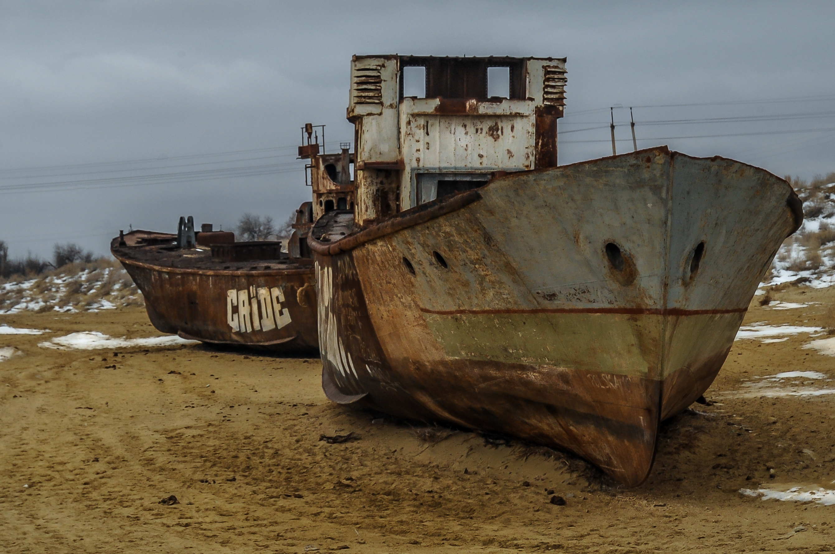
Kamyslybas ( kz, Қамыстыбас, ''Qamystybas'') is a large saltwater lake in the Kyzylorda Region, Kazakhstan. It has an area of 176 km2, although the water level in the lake often fluctuates. The health of lake Kamyslybas is directly affected by the Aral Sea, which experienced increasing salinization and desiccation as the result of excessive and unsustainable expansion of irrigation that have drained both the Syr Darya and the Amu Darya, the other major tributary river, and seriously damaged their deltas. Similarly to attempts to rehabilitate and preserve the lower Amu Darya delta, efforts are also underway to improve lakes such as Kamyslybas and Tushchibas. Geography It has a maximum depth of 10 meters with a coastline 116 km long at an elevation of 58 meters above sea level. It is the largest body of water in the Kamyslybas lake system. It lies in the northern part of Syr Darya's delta, to which it is connected by a canal, and the water level in the lake is af ... [...More Info...] [...Related Items...] OR: [Wikipedia] [Google] [Baidu] |
Kyzylorda Region
Kyzylorda Region ( kk, Қызылорда облысы, translit=Qyzylorda oblysy; russian: Кызылординская область, translit=Kyzylordinskaya oblast) is a region of Kazakhstan. Its capital is the city of Kyzylorda, with a population of 234 736. The region itself has a population of 799 533. Other notable settlements include Aral, Kazaly (Kazalinsk) and the Russian-administered Baikonur, which services the Baikonur Cosmodrome. The total area of the province is . Geography The Kyzylorda Region shares a border with the neighboring country of Uzbekistan. It is bound as well by three other regions of Kazakhstan: Aktobe Region to the west, Karaganda Region to the north and Turkistan Region to the east. The Lesser Barsuki and Aral Karakum deserts are located in the region. The main lakes are Zhaksykylysh, Kamyslybas and Arys. The Syr Darya River, flowing from the Tian Shan mountains to the Aral Sea, passes through Kyzylorda Region. Demographics As of 2020, ... [...More Info...] [...Related Items...] OR: [Wikipedia] [Google] [Baidu] |
Lakes Of Kazakhstan ...
Excluding the northernmost districts, Kazakhstan consists of endorheic basins, where rivers flow into one of the numerous lakes. The most important drainage system is known as Yedisu, meaning "seven rivers" in Turkic languages. Below is the list of the more important lakes, some of which are shared (Caspian Sea, Lake Aral, Lake Aike, etc.) with the neighbouring countries. References {{Europe topic, List of lakes of * Lakes Kazakhstan Kazakhstan, officially the Republic of Kazakhstan, is a transcontinental country located mainly in Central Asia and partly in Eastern Europe. It borders Russia to the north and west, China to the east, Kyrgyzstan to the southeast, Uzbeki ... [...More Info...] [...Related Items...] OR: [Wikipedia] [Google] [Baidu] |
River Delta
A river delta is a landform shaped like a triangle, created by deposition of sediment that is carried by a river and enters slower-moving or stagnant water. This occurs where a river enters an ocean, sea, estuary, lake, reservoir, or (more rarely) another river that cannot carry away the supplied sediment. It is so named because its triangle shape resembles the Greek letter Delta. The size and shape of a delta is controlled by the balance between watershed processes that supply sediment, and receiving basin processes that redistribute, sequester, and export that sediment. The size, geometry, and location of the receiving basin also plays an important role in delta evolution. River deltas are important in human civilization, as they are major agricultural production centers and population centers. They can provide coastline defense and can impact drinking water supply. They are also ecologically important, with different species' assemblages depending on their landscape posit ... [...More Info...] [...Related Items...] OR: [Wikipedia] [Google] [Baidu] |
Fishery
Fishery can mean either the enterprise of raising or harvesting fish and other aquatic life; or more commonly, the site where such enterprise takes place ( a.k.a. fishing ground). Commercial fisheries include wild fisheries and fish farms, both in freshwater waterbodies (about 10% of all catch) and the oceans (about 90%). About 500 million people worldwide are economically dependent on fisheries. 171 million tonnes of fish were produced in 2016, but overfishing is an increasing problem — causing declines in some populations. Because of their economic and social importance, fisheries are governed by complex fisheries management practices and legal regimes that vary widely across countries. Historically, fisheries were treated with a "first-come, first-served " approach, but recent threats by human overfishing and environmental issues have required increased regulation of fisheries to prevent conflict and increase profitable economic activity on the fishery. Modern juris ... [...More Info...] [...Related Items...] OR: [Wikipedia] [Google] [Baidu] |
Aquaculture
Aquaculture (less commonly spelled aquiculture), also known as aquafarming, is the controlled cultivation ("farming") of aquatic organisms such as fish, crustaceans, mollusks, algae and other organisms of value such as aquatic plants (e.g. lotus). Aquaculture involves cultivating freshwater, brackish water and saltwater populations under controlled or semi-natural conditions, and can be contrasted with commercial fishing, which is the harvesting of wild fish. Mariculture, commonly known as marine farming, refers specifically to aquaculture practiced in seawater habitats and lagoons, opposed to in freshwater aquaculture. Pisciculture is a type of aquaculture that consists of fish farming to obtain fish products as food. Aquaculture can also be defined as the breeding, growing, and harvesting of fish and other aquatic plants, also known as farming in water. It is an environmental source of food and commercial product which help to improve healthier habitats and used to re ... [...More Info...] [...Related Items...] OR: [Wikipedia] [Google] [Baidu] |
Waterfowl
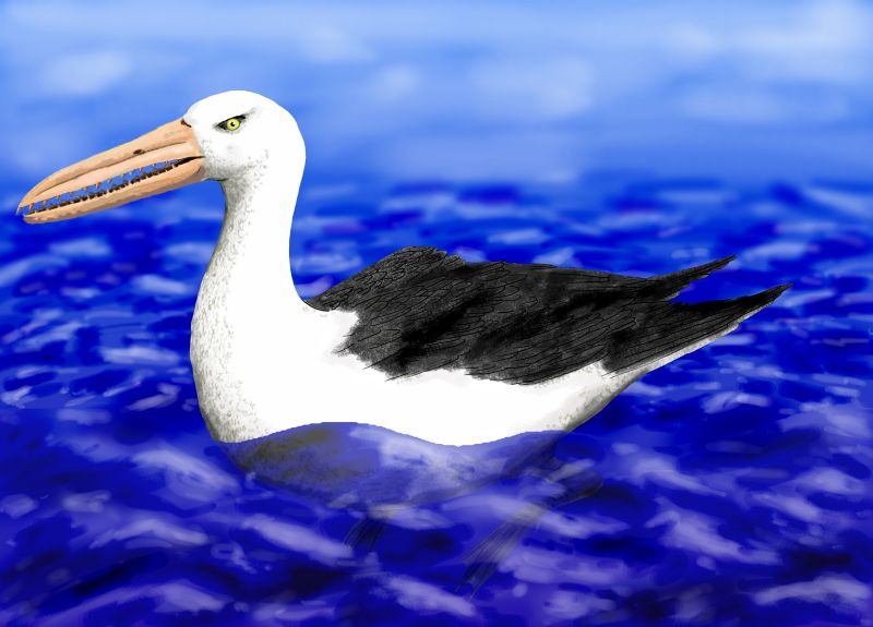
Anseriformes is an order of birds also known as waterfowl that comprises about 180 living species of birds in three families: Anhimidae (three species of screamers), Anseranatidae (the magpie goose), and Anatidae, the largest family, which includes over 170 species of waterfowl, among them the ducks, geese, and swans. Most modern species in the order are highly adapted for an aquatic existence at the water surface. With the exception of screamers, males have penises, a trait that has been lost in the Neoaves. Due to their aquatic nature, most species are web-footed. Evolution Anseriformes are one of only two types of modern bird to be confirmed present during the Mesozoic alongside the other dinosaurs, and in fact were among the very few birds to survive their extinction, along with their cousins the galliformes. These two groups only occupied two ecological niches during the Mesozoic, living in water and on the ground, while the toothed enantiornithes were the dominant b ... [...More Info...] [...Related Items...] OR: [Wikipedia] [Google] [Baidu] |
Brine
Brine is a high-concentration solution of salt (NaCl) in water (H2O). In diverse contexts, ''brine'' may refer to the salt solutions ranging from about 3.5% (a typical concentration of seawater, on the lower end of that of solutions used for brining foods) up to about 26% (a typical saturated solution, depending on temperature). Brine forms naturally due to evaporation of ground saline water but it is also generated in the mining of sodium chloride. Brine is used for food processing and cooking ( pickling and brining), for de-icing of roads and other structures, and in a number of technological processes. It is also a by-product of many industrial processes, such as desalination, so it requires wastewater treatment for proper disposal or further utilization ( fresh water recovery). In nature Brines are produced in multiple ways in nature. Modification of seawater via evaporation results in the concentration of salts in the residual fluid, a characteristic geologic depos ... [...More Info...] [...Related Items...] OR: [Wikipedia] [Google] [Baidu] |
Canal
Canals or artificial waterways are waterways or engineered channels built for drainage management (e.g. flood control and irrigation) or for conveyancing water transport vehicles (e.g. water taxi). They carry free, calm surface flow under atmospheric pressure, and can be thought of as artificial rivers. In most cases, a canal has a series of dams and locks that create reservoirs of low speed current flow. These reservoirs are referred to as ''slack water levels'', often just called ''levels''. A canal can be called a ''navigation canal'' when it parallels a natural river and shares part of the latter's discharges and drainage basin, and leverages its resources by building dams and locks to increase and lengthen its stretches of slack water levels while staying in its valley. A canal can cut across a drainage divide atop a ridge, generally requiring an external water source above the highest elevation. The best-known example of such a canal is the Panama Can ... [...More Info...] [...Related Items...] OR: [Wikipedia] [Google] [Baidu] |
Syr Darya
The Syr Darya (, ),, , ; rus, Сырдарья́, Syrdarjja, p=sɨrdɐˈrʲja; fa, سيردريا, Sirdaryâ; tg, Сирдарё, Sirdaryo; tr, Seyhun, Siri Derya; ar, سيحون, Seyḥūn; uz, Sirdaryo, script-Latn/. historically known as the Jaxartes (, grc, Ἰαξάρτης), is a river in Central Asia. The name, which is Persian, literally means ''Syr Sea'' or ''Syr River''. It originates in the Tian Shan Mountains in Kyrgyzstan and eastern Uzbekistan and flows for west and north-west through Uzbekistan and southern Kazakhstan to the northern remnants of the Aral Sea. It is the northern and eastern of the two main rivers in the endorheic basin of the Aral Sea, the other being the Amu Darya (Jayhun). In the Soviet era, extensive irrigation projects were constructed around both rivers, diverting their water into farmland and causing, during the post-Soviet era, the virtual disappearance of the Aral Sea, once the world's fourth-largest lake. The point at which the ... [...More Info...] [...Related Items...] OR: [Wikipedia] [Google] [Baidu] |
Endorheic Lake
An endorheic lake (also called a sink lake or terminal lake) is a collection of water within an endorheic basin, or sink, with no evident outlet. Endorheic lakes are generally saline as a result of being unable to get rid of solutes left in the lake by evaporation. These lakes can be used as indicators of anthropogenic change, such as irrigation or climate change, in the areas surrounding them. Lakes with subsurface drainage are considered cryptorheic. Components of endorheic lakes The two main ways that endorheic lakes accumulate water are through river flow into the lake (discharge) and precipitation falling into the lake. The collected water of the lake, instead of discharging, can only be lost due to either evapotranspiration or percolation (water sinking underground, e.g., to become groundwater in an aquifer). Because of this lack of an outlet, endorheic lakes are mostly salt water rather than fresh water. The salinity in the lake gradually builds up through years as wate ... [...More Info...] [...Related Items...] OR: [Wikipedia] [Google] [Baidu] |
Amu Darya
The Amu Darya, tk, Amyderýa/ uz, Amudaryo// tg, Амударё, Amudaryo ps, , tr, Ceyhun / Amu Derya grc, Ὦξος, Ôxos (also called the Amu, Amo River and historically known by its Latin name or Greek ) is a major river in Central Asia and Afghanistan. Rising in the Pamir Mountains, north of the Hindu Kush, the Amu Darya is formed by the confluence of the Vakhsh and Panj rivers, in the Tigrovaya Balka Nature Reserve on the border between Afghanistan and Tajikistan, and flows from there north-westwards into the southern remnants of the Aral Sea. In its upper course, the river forms part of Afghanistan's northern border with Tajikistan, Uzbekistan, and Turkmenistan. In ancient history, the river was regarded as the boundary of Greater Iran with " Turan", which roughly corresponded to present-day Central Asia.B. SpulerĀmū Daryā in Encyclopædia Iranica, online ed., 2009 The Amu Darya has a flow of about 70 cubic kilometres per year on average. Names In classical ... [...More Info...] [...Related Items...] OR: [Wikipedia] [Google] [Baidu] |


