|
Jarid
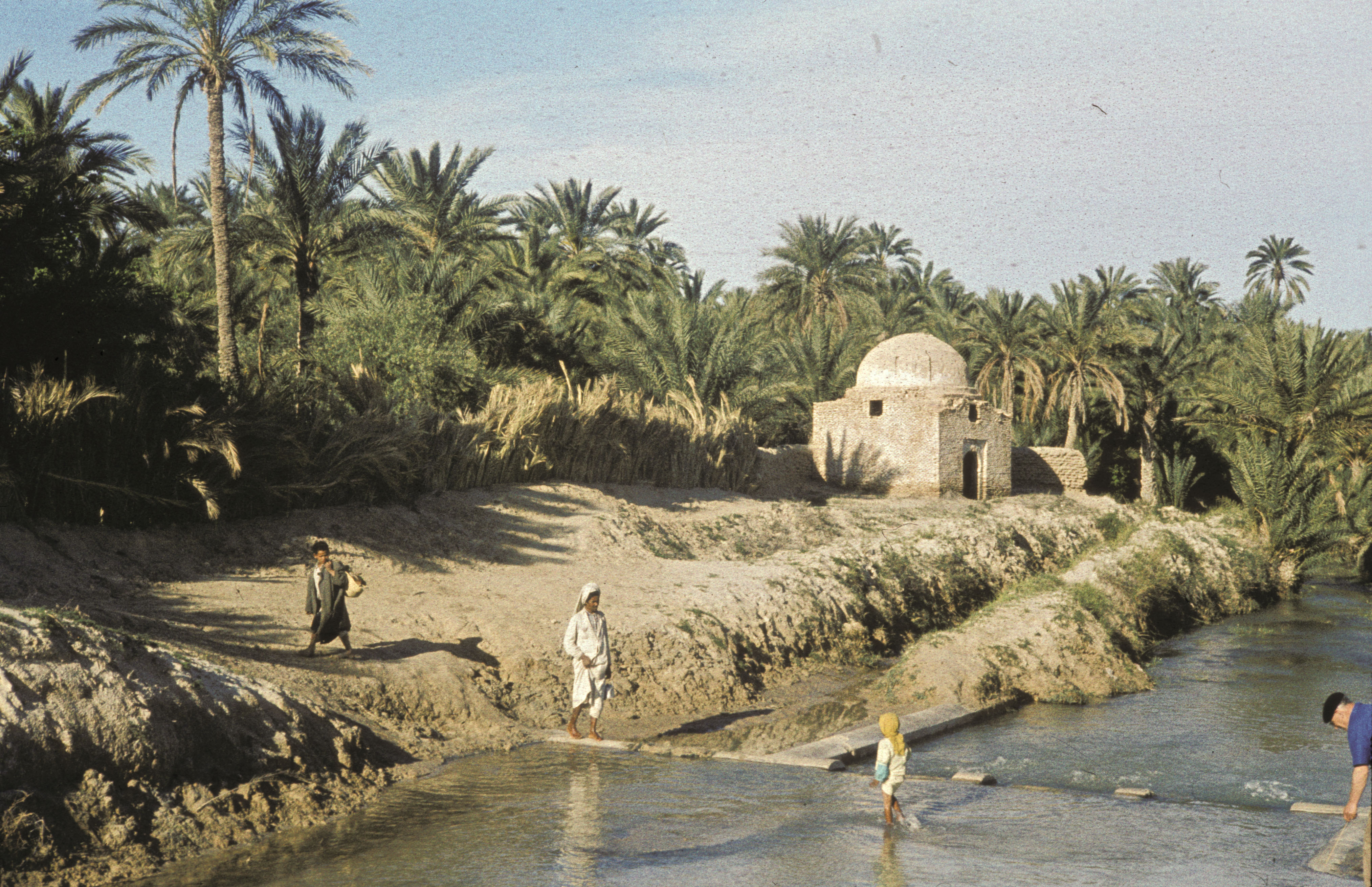
el-Djerid, also al-Jarīd, ( ar, الجريد; Derja: ''Jerīd''; ) or more precisely the South Western Tunisia Region is a semi-desert natural region comprising three southern Tunisian Governorates, Gafsa, Kebili and Tozeur with adjacent parts of Algeria and Libya. Geography The region is characterised by bare pink hills with oases and several chotts (salt pans) such as Chott el Djerid in Tunisia. Economically the area is important for phosphate mining. Major towns include Gafsa and Tozeur. It remains the principal center of Ibāḍism in North Africa, with remaining Ibāḍī communities on Djerba in Tunisia, in the M'zab in Algeria, and in Jabal Nafusa in Libya. In medieval times, it often formed a politically separate entity under the control of Ibāḍī '' imams''. Location Jerid, Djerid'' or ''Bled el Djerid (Arabic : الجريد, literally "palm leaf"), is a semi-desert region situated in southwestern Tunisia, which extends to the contiguous areas of Algeria. In a ... [...More Info...] [...Related Items...] OR: [Wikipedia] [Google] [Baidu] |
Oasis
In ecology, an oasis (; ) is a fertile area of a desert or semi-desert environment'ksar''with its surrounding feeding source, the palm grove, within a relational and circulatory nomadic system.” The location of oases has been of critical importance for trade and transportation routes in desert areas; caravans must travel via oases so that supplies of water and food can be replenished. Thus, political or military control of an oasis has in many cases meant control of trade on a particular route. For example, the oases of Awjila, Ghadames and Kufra, situated in modern-day Libya, have at various times been vital to both north–south and east–west Trans-Saharan trade, trade in the Sahara Desert. The location of oases also informed the Darb El Arba'īn trade route from Sudan to Egypt, as well as the caravan route from the Niger River to Tangier, Morocco. The Silk Road “traced its course from water hole to water hole, relying on oasis communities such as Turpan in China and Sam ... [...More Info...] [...Related Items...] OR: [Wikipedia] [Google] [Baidu] |
M'zab
The M'zab or Mzab ( Mozabite: ''Aghlan'', ar, مزاب) is a natural region of the northern Sahara Desert in Ghardaïa Province, Algeria. It is located south of Algiers and there are approximately 360,000 inhabitants (2005 estimate). Geology The Mzab is a limestone plateau, centred on the Wad Mzab (''Oued Mzab'') valley. History The Mozabites ("Ath Mzab") are a branch of a large Berber tribe, the Iznaten, which lived in large areas of middle southern Algeria. Many Tifinagh letters and symbols are engraved around the Mzab Valley. After the Muslim conquest of the Maghreb, the Mozabites became Muslims of the Mu'tazili school. The indigenous Christian population persisted until the 11th century. After the fall of the Rustamid state, the Rustamid royal family with some of their citizens chose the Mzab Valley as their refuge. However, the Rostemids were Ibadi and sent a preacher (Abu Bakr an-Nafusi) who successfully converted the indigenous Mozabites. France invaded Alge ... [...More Info...] [...Related Items...] OR: [Wikipedia] [Google] [Baidu] |
Castra
In the Roman Republic and the Roman Empire, the Latin word ''castrum'', plural ''castra'', was a military-related term. In Latin usage, the singular form ''castrum'' meant 'fort', while the plural form ''castra'' meant 'camp'. The singular and plural forms could refer in Latin to either a building or plot of land, used as a fortified military base.. Included is a discussion about the typologies of Roman fortifications. In English usage, ''castrum'' commonly translates to "Roman fort", "Roman camp" and "Roman fortress". However, scholastic convention tends to translate ''castrum'' as "fort", "camp", "marching camp" or "fortress". Romans used the term ''castrum'' for different sizes of camps – including large legionary fortresses, smaller forts for cohorts or for auxiliary forces, temporary encampments, and "marching" forts. The diminutive form ''castellum'' was used for fortlets, typically occupied by a detachment of a cohort or a '' centuria''. For a list of known castr ... [...More Info...] [...Related Items...] OR: [Wikipedia] [Google] [Baidu] |
Roman Empire
The Roman Empire ( la, Imperium Romanum ; grc-gre, Βασιλεία τῶν Ῥωμαίων, Basileía tôn Rhōmaíōn) was the post-Republican period of ancient Rome. As a polity, it included large territorial holdings around the Mediterranean Sea in Europe, North Africa, and Western Asia, and was ruled by emperors. From the accession of Caesar Augustus as the first Roman emperor to the military anarchy of the 3rd century, it was a Principate with Italia as the metropole of its provinces and the city of Rome as its sole capital. The Empire was later ruled by multiple emperors who shared control over the Western Roman Empire and the Eastern Roman Empire. The city of Rome remained the nominal capital of both parts until AD 476 when the imperial insignia were sent to Constantinople following the capture of the Western capital of Ravenna by the Germanic barbarians. The adoption of Christianity as the state church of the Roman Empire in AD 380 and the fall of the Western ... [...More Info...] [...Related Items...] OR: [Wikipedia] [Google] [Baidu] |
Numidia
Numidia ( Berber: ''Inumiden''; 202–40 BC) was the ancient kingdom of the Numidians located in northwest Africa, initially comprising the territory that now makes up modern-day Algeria, but later expanding across what is today known as Tunisia, Libya, and some parts of Morocco. The polity was originally divided between the Massylii in the east and the Masaesyli in the west. During the Second Punic War (218–201 BC), Masinissa, king of the Massylii, defeated Syphax of the Masaesyli to unify Numidia into one kingdom. The kingdom began as a sovereign state and later alternated between being a Roman province and a Roman client state. Numidia, at its largest extent, was bordered by Mauretania to the west, at the Moulouya River, Africa Proconsularis to the east, the Mediterranean Sea to the north, and the Sahara to the south. It was one of the first major states in the history of Algeria and the Berbers. History Independence The Greek historians referred to these peoples as ... [...More Info...] [...Related Items...] OR: [Wikipedia] [Google] [Baidu] |
Date Palm
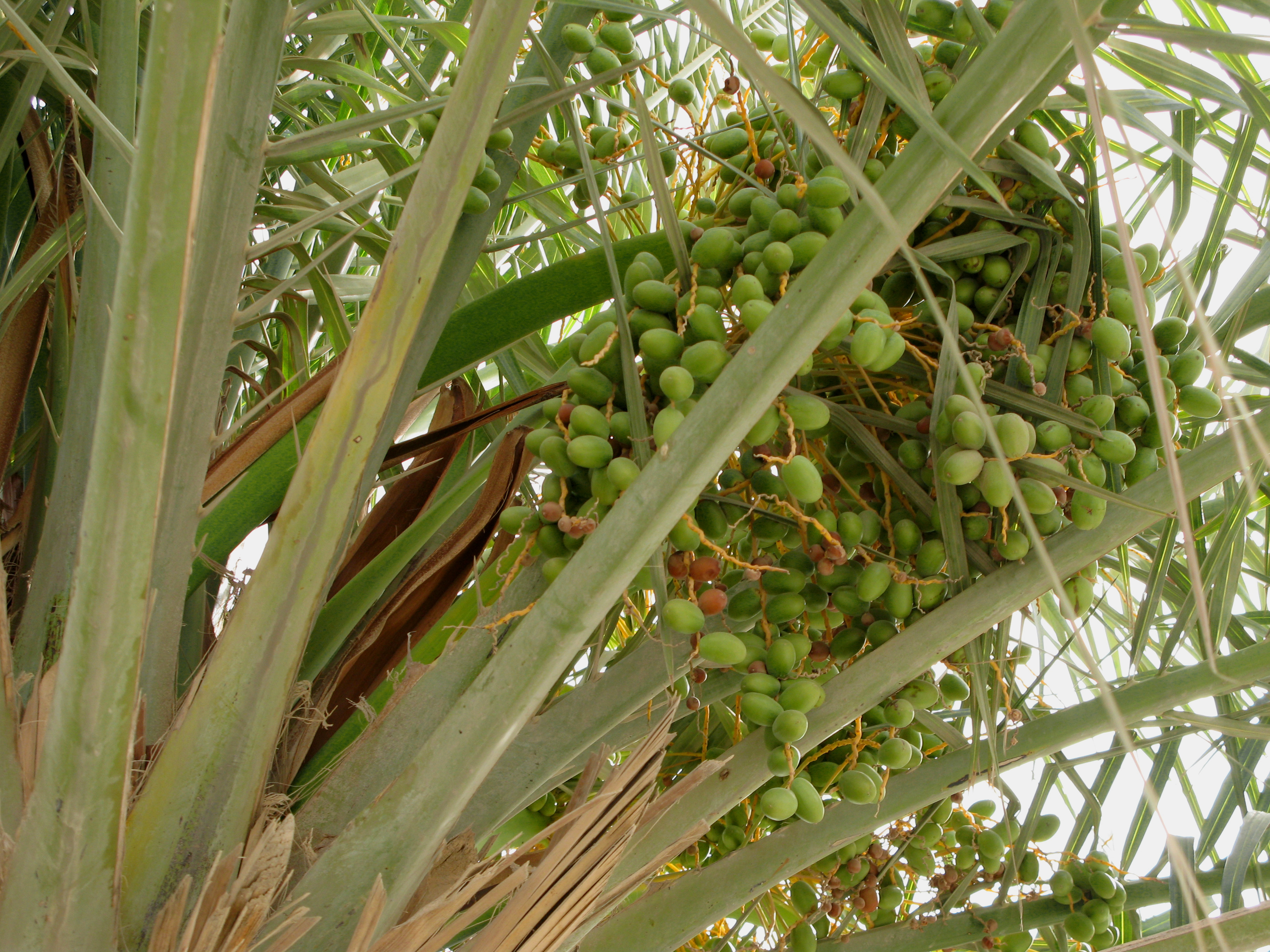
''Phoenix dactylifera'', commonly known as date or date palm, is a flowering plant species in the palm family, Arecaceae, cultivated for its edible sweet fruit called dates. The species is widely cultivated across northern Africa, the Middle East, and South Asia, and is naturalized in many tropical and subtropical regions worldwide. ''P. dactylifera'' is the type species of genus ''Phoenix'', which contains 12–19 species of wild date palms. Date trees reach up to in height, growing singly or forming a clump with several stems from a single root system. Slow-growing, they can reach over 100 years of age when maintained properly. Date fruits (dates) are oval-cylindrical, long, and about in diameter, with colour ranging from dark brown to bright red or yellow, depending on variety. Containing 61–68 percent sugar by mass when dried, dates are very sweet and are enjoyed as desserts on their own or within confections. Dates have been cultivated in the Middle East and the ... [...More Info...] [...Related Items...] OR: [Wikipedia] [Google] [Baidu] |
Chott El Jerid
Chott el Djerid ( ar, شط الجريد ') also spelled ''Sciott Gerid'' and ''Shott el Jerid'', is a chott, a large endorheic salt lake in southern Tunisia. The name can be translated from the Arabic into English as "Lagoon of the Land of Palms". Geography The bottom of Chott el Djerid is located between 10 and 25 meters (about 30 to 80 feet) below sea level. The lake's width varies widely; at its narrowest point, it is only across, compared to its overall length of . At times, parts of it appear in various shades of white, green and purple. The narrow eastward inlet of the chott is also known as Chott el Fejej. It is the largest salt pan of the Sahara Desert, with a surface area of over 7,000 km2 (some sources state 5,000 km2). The site has a typical hot desert climate. Due to the harsh climate with mean annual rainfall of below 100 mm and daytime temperatures sometimes reaching 50 °C (122 °F) or more during summer with dense solar radiation, water e ... [...More Info...] [...Related Items...] OR: [Wikipedia] [Google] [Baidu] |
Oases
In ecology, an oasis (; ) is a fertile area of a desert or semi-desert environment'ksar''with its surrounding feeding source, the palm grove, within a relational and circulatory nomadic system.” The location of oases has been of critical importance for trade and transportation routes in desert areas; caravans must travel via oases so that supplies of water and food can be replenished. Thus, political or military control of an oasis has in many cases meant control of trade on a particular route. For example, the oases of Awjila, Ghadames and Kufra, situated in modern-day Libya, have at various times been vital to both north–south and east–west Trans-Saharan trade, trade in the Sahara Desert. The location of oases also informed the Darb El Arba'īn trade route from Sudan to Egypt, as well as the caravan route from the Niger River to Tangier, Morocco. The Silk Road “traced its course from water hole to water hole, relying on oasis communities such as Turpan in China and Sam ... [...More Info...] [...Related Items...] OR: [Wikipedia] [Google] [Baidu] |
Nefzaoua
Nefzaoua (نفزاوة) is a region of south-west Tunisia, bounded by Chott el Jerid to the west, the Grand Erg Oriental to the south and the Dahar plateau to the east. , Mongi Sghaier,, Ed. Institute of Arid Regions Medenine, August 1999 Administratively, the territory is in the Kebili Governorate
Kebili Governorate ( ' ) is the second largest of the 24 governorates (provinces) of Tunisia. It is situated in south-western Tunisia, bordering Algeria. It covers an area of and had a population of 156,961 at the 2014 census.
[...More Info...] [...Related Items...] OR: [Wikipedia] [Google] [Baidu] |
Governorate
A governorate is an administrative division of a state. It is headed by a governor. As English-speaking nations tend to call regions administered by governors either State (administrative division), states or province, provinces, the term ''governorate'' is often used in translation from non-English-speaking administrations. The most common usage are as a translation of Persian language, Persian "Farmandari" or the Arabic language, Arabic ''Muhafazah''. It may also refer to the ''guberniya'' and ''Governor-General, general-gubernatorstvo'' of Russian Empire, Imperial Russia or the ''Governorates of the Spanish Empire, gobiernos'' of Spanish Empire, Imperial Spain. Arab countries The term governorate is widely used in Arab countries to describe an administrative unit. Some governorates combine more than one ''Muhafazah''; others closely follow traditional boundaries inherited from the Ottoman Empire's ''vilayet'' system. With the exception of Tunisia, all translations into the ter ... [...More Info...] [...Related Items...] OR: [Wikipedia] [Google] [Baidu] |
Semi-arid Climate
A semi-arid climate, semi-desert climate, or steppe climate is a dry climate sub-type. It is located on regions that receive precipitation below potential evapotranspiration, but not as low as a desert climate. There are different kinds of semi-arid climates, depending on variables such as temperature, and they give rise to different biomes. Defining attributes of semi-arid climates A more precise definition is given by the Köppen climate classification, which treats steppe climates (''BSk'' and ''BSh'') as intermediates between desert climates (BW) and humid climates (A, C, D) in ecological characteristics and agricultural potential. Semi-arid climates tend to support short, thorny or scrubby vegetation and are usually dominated by either grasses or shrubs as it usually can't support forests. To determine if a location has a semi-arid climate, the precipitation threshold must first be determined. The method used to find the precipitation threshold (in millimeters): *multiply by ... [...More Info...] [...Related Items...] OR: [Wikipedia] [Google] [Baidu] |

.jpg)


