|
Ghatsila
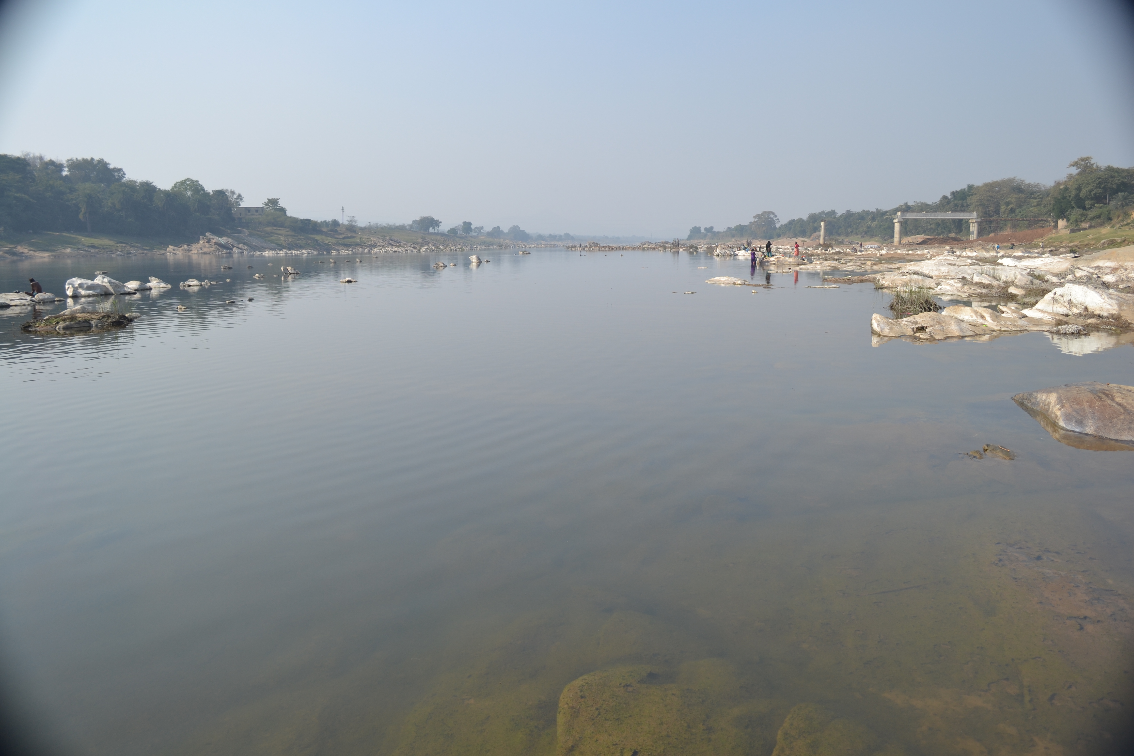
Ghatshila is a census town in the Ghatshila CD block in the Ghatshila subdivision of the East Singhbhum district, in the Indian state of Jharkhand. History Legend says that the royal family of the Kingdom of Dhalbhum had originated from the northwest (Dhara and Mandu), located at the border of Rajasthan. Legend goes on to say that around 1300 AD, Dhalbhum was wrested from him by Raja Jagat Deo from Jagner near Dholpur and belonged to Dhar in Malwa Rajputana, who later assumed the name of Raja Jagannath Deo Dhabal Deb I. Originally Raja Jaganath Deo Dhabal Deb I belonged to the Parmar Rajput clan from Dhar in Malwa. They established themselves by conquest in western part of Bengal, the area commonly known as Jungle Mahals. These families kept up a sort of semi-royal state and dignified their heir-apparent and those in immediate succession with title of honor, which denotes precedence. Thus, in the Dhalbhum family, the oldest son of the ruling king (Rajah) took the title o ... [...More Info...] [...Related Items...] OR: [Wikipedia] [Google] [Baidu] |
Ghatshila Block
Ghatshila block is a CD block that forms an administrative division in the Ghatshila subdivision of East Singhbhum district, in the Indian state of Jharkhand. History The laying of the foundation stone of the steel plant by Tata Steel (then known as Tata Iron and Steel Company) in 1907 at Sakchi Kalimati in Singhbhum district marked the beginning of the industrialisation of the area. The first police station in the area was opened in 1912 at Jugsalai. The Kalimati Sakchi village was renamed ‘Jamshedpur’ in 1917. Dhalbhum subdivision was created in 1920 with Jamshedpur as headquarters. Jamshedpur Notified Area was established in 1924. East Singhbhum district, with Jamshedpur as headquarters, was set up in 1990. Ghatshila was earlier the headquarters of the Rajas of Dhalbhum. Ghatshila block was established in 1962 with headquarters at Ghatshila. Geography Ghatshila is located at . “The district forms a part of the Chota Nagpur Plateau and is a hilly upland tra ... [...More Info...] [...Related Items...] OR: [Wikipedia] [Google] [Baidu] |
Jamshedpur (Lok Sabha Constituency)
Jamshedpur Lok Sabha constituency is one of the 14 Lok Sabha (parliamentary) constituencies in Jharkhand state in eastern India. This constituency covers the entire East Singhbhum district. Assembly segments Presently, Jamshedpur Lok Sabha constituency comprises the following six Vidhan Sabha (legislative assembly) segments: Members of Parliament Election results 17th Lok Sabha: 2019 General Elections See also * East Singhbhum district * List of Constituencies of the Lok Sabha The Lok Sabha, the lower house of the Parliament of India, is made up of Members of Parliament ( MPs). Each MP, represents a single geographic constituency. There are currently 543 constituencies while maximum seats will fill up to 550 (after ar ... Notes External linksJamshed pur lok sabha constituency election 2019 result details {{coord, 22.80, 86.19, display=title Lok Sabha constituencies in Jharkhand East Singhbhum district Jamshedp ... [...More Info...] [...Related Items...] OR: [Wikipedia] [Google] [Baidu] |
East Singhbhum District
East Singhbhum is one of the 24 districts of Jharkhand, India. It was created on 16 January 1990. More than 50% of the district is covered by dense forests and mountains, where wild animals once roamed freely. It is known for being a centre of industry since Jamshedpur, the most populous city in Jharkhand, is located here. Geography The district is bounded on the east by Jhargram district, on the north by Purulia district, both of West Bengal, on the west by Seraikela Kharsawan district, and on the south by Mayurbhanj district of Odisha. Total area of the district is 3,562 kilometers. The district is a mineral rich and industrialized region. Dalma Wildlife Sanctuary is a popular biosphere reserve known lively for its animals. Dalma Hills is stretching over Jharkhand and West Bengal. It is on the northern region of Jamshedpur. A lot of minerals are found here. Politics Administration There are six Vidhan Sabha constituencies in this district: Baharagora, Ghatsila, Potka, Ju ... [...More Info...] [...Related Items...] OR: [Wikipedia] [Google] [Baidu] |
Purbi Singhbhum District
East Singhbhum is one of the 24 districts of Jharkhand, India. It was created on 16 January 1990. More than 50% of the district is covered by dense forests and mountains, where wild animals once roamed freely. It is known for being a centre of industry since Jamshedpur, the most populous city in Jharkhand, is located here. Geography The district is bounded on the east by Jhargram district, on the north by Purulia district, both of West Bengal, on the west by Seraikela Kharsawan district, and on the south by Mayurbhanj district of Odisha. Total area of the district is 3,562 kilometers. The district is a mineral rich and industrialized region. Dalma Wildlife Sanctuary is a popular biosphere reserve known lively for its animals. Dalma Hills is stretching over Jharkhand and West Bengal. It is on the northern region of Jamshedpur. A lot of minerals are found here. Politics Administration There are six Vidhan Sabha constituencies in this district: Baharagora, Ghatsila, Potka, Jug ... [...More Info...] [...Related Items...] OR: [Wikipedia] [Google] [Baidu] |
Ghatshila Subdivision
Ghatshila subdivision is an administrative subdivision of the East Singhbhum district in the Kolhan division in the state of Jharkhand, India. Administration The district consists of two subdivisions - (1) Dhalbhum subdivision with Patamda, Boram, Golmuri-cum-Jugsalai and Potka CD blocks, and (2) Ghatshila subdivision with Ghatshila, Dhalbhumgarh, Musabani, Dumaria, Gurbandha, Chakulia and Baharagora CD blocks. The subdivisions of Purbi Singhbhum district have the following distinctions: Note: Calculated on the basis of block-wise data available. Police stations Police stations in the Ghatshila subdivision are at: # Bharagora # Chakulia # Dumaria # Dhalbhumgarh # Galudih # Ghatshila # Gurbanda # Jadugora # Musabani # Burasol # Maubhandar Blocks Community development blocks in the Ghatshila subdivision are: Education In 2011, in Ghatshila subdivision out of a total 1,086 inhabited villages in 7 CD blocks there were 80 villages with pre-primary scho ... [...More Info...] [...Related Items...] OR: [Wikipedia] [Google] [Baidu] |
Ghatsila (Vidhan Sabha Constituency)
Ghatsila Assembly constituency is an assembly constituency in the Indian state of Jharkhand. Before 2000, this constituency was in Bihar. Overview According to the Delimitation of Parliamentary and Assembly Constituencies Order, 2008 of the Election Commission of India, Ghatshila Assembly constituency covers Ghatsila police station and Musabnai police station (excluding Palasbani, Asta Koyali, Nunia, Kumarasol, Barakanjiya, Bomaro Bangoriya and Damudih gram panchayats). It is a reserved constituency for Scheduled Tribes. Ghatshila {Vidhan Sabha constituency) is a part of Jamshedpur (Lok Sabha constituency). Members of Assembly *2019: Ramdas Soren, Jharkhand Mukti Morcha *2014: Laxman Tudu, Bharatiya Janata Party *2009: Ramdas Soren, Jharkhand Mukti Morcha *2005: Pradeep Kumar Balmuchu, Indian National Congress *2000: Pradeep Kumar Balmuchu INC *1995: Pradeep Kumar Balmuchu INC *1990: Surya Singh Besra, IND *1985: Karan Chandra Mardi, INC *1980: Tika Ram Majhi, C ... [...More Info...] [...Related Items...] OR: [Wikipedia] [Google] [Baidu] |
Jharkhand
Jharkhand (; ; ) is a state in eastern India. The state shares its border with the states of West Bengal to the east, Chhattisgarh to the west, Uttar Pradesh to the northwest, Bihar to the north and Odisha to the south. It has an area of . It is the 15th largest state by area, and the 14th largest by population. Hindi is the official language of the state. The city of Ranchi is its capital and Dumka its sub-capital. The state is known for its waterfalls, hills and holy places; Baidyanath Dham, Parasnath, Dewri and Rajrappa are major religious sites. The state was formed on 15 November 2000, after carving out what was previously the southern half of Bihar. Jharkhand suffers from what is sometimes termed a resource curse: it accounts for more than 40% of the mineral resources of India, but 39.1% of its population is below the poverty line and 19.6% of children under five years of age are malnourished. Jharkhand is primarily rural, with about 24% of its population living in ... [...More Info...] [...Related Items...] OR: [Wikipedia] [Google] [Baidu] |
Mandu, Madhya Pradesh
Mandu or Mandavgad is an ancient city in the present-day Mandav area of the Dhar district. It is located in the Malwa and Nimar region of western Madhya Pradesh, India, at 35 km from Dhar city. In the 11th century, Mandu was the sub division of the Tarangagadh or Taranga kingdom. This fortress town on a rocky outcrop about from Indore is celebrated for its architecture. History An inscription discovered from Talanpur (around 100 km from Mandu) states that a merchant named Chandra Simha installed a statue in a temple of Parshvanatha located in the Mandapa Durg. While "Durg" means "Fort", the word "Mandu" is a Prakrit corruption of "''mandapa''", meaning "hall, temple". The inscription is dated 612 VS (555 CE), which indicates that Mandu was a flourishing town in 6th century. Mandu gained prominence in 10th and 11th century under the Paramaras. The town of Mandu, situated at an elevation of 633 metres (2,079 feet), is perched on the Vindhya Range ext ... [...More Info...] [...Related Items...] OR: [Wikipedia] [Google] [Baidu] |
Rajasthan
Rajasthan (; lit. 'Land of Kings') is a state in northern India. It covers or 10.4 per cent of India's total geographical area. It is the largest Indian state by area and the seventh largest by population. It is on India's northwestern side, where it comprises most of the wide and inhospitable Thar Desert (also known as the Great Indian Desert) and shares a border with the Pakistani provinces of Punjab to the northwest and Sindh to the west, along the Sutlej- Indus River valley. It is bordered by five other Indian states: Punjab to the north; Haryana and Uttar Pradesh to the northeast; Madhya Pradesh to the southeast; and Gujarat to the southwest. Its geographical location is 23.3 to 30.12 North latitude and 69.30 to 78.17 East longitude, with the Tropic of Cancer passing through its southernmost tip. Its major features include the ruins of the Indus Valley civilisation at Kalibangan and Balathal, the Dilwara Temples, a Jain pilgrimage site at Rajasthan's only hill stat ... [...More Info...] [...Related Items...] OR: [Wikipedia] [Google] [Baidu] |
Jagner
Jagner is a small town and a nagar panchayat in Agra district in the Indian States and territories of India, state of Uttar Pradesh. It is located in the southern part of Agra district and about 57 km from Agra city. History The town of Jagner is spread out around a hill-fort which itself is located on a precipitous hill, 122 meters above ground level. The fort houses a popular pilgrim destination, the shrine of ''Gwal Baba'', named after the cow loving saint who lived in the cave centuries ago. The name Jagner is derived from the name of king "Jagan Singh" who was a ruler in the 13th century. Demographics As of 2011 Indian Census, Jagner had a total population of 11,575, of which 6,238 were males and 5,337 were females. Population within the age group of 0 to 6 years was 1,736. The total number of literates in Jagner was 7,677, which constituted 66.3% of the population with male literacy of 74.4% and female literacy of 56.9%. The effective literacy rate of 7+ population ... [...More Info...] [...Related Items...] OR: [Wikipedia] [Google] [Baidu] |
States And Territories Of India
India is a federal union comprising 28 states and 8 union territories, with a total of 36 entities. The states and union territories are further subdivided into districts and smaller administrative divisions. History Pre-independence The Indian subcontinent has been ruled by many different ethnic groups throughout its history, each instituting their own policies of administrative division in the region. The British Raj mostly retained the administrative structure of the preceding Mughal Empire. India was divided into provinces (also called Presidencies), directly governed by the British, and princely states, which were nominally controlled by a local prince or raja loyal to the British Empire, which held ''de facto'' sovereignty ( suzerainty) over the princely states. 1947–1950 Between 1947 and 1950 the territories of the princely states were politically integrated into the Indian union. Most were merged into existing provinces; others were organised into ... [...More Info...] [...Related Items...] OR: [Wikipedia] [Google] [Baidu] |
Dholpur State
Dhaulpur State or Dholpur State, historically known as the Kingdom of Dholpur, was a kingdom of eastern Rajasthan, India, which was founded in Anno Domini, AD 1806 by a Jat ruler Rana (title), Rana Kirat Singh of Gohad State, Gohad. After 1818, the state was placed under the authority of British India's Rajputana Agency. The Ranas ruled the state until the independence of India in 1947, when the kingdom was merged with the India, Union of India. The princely state of Dholpur was located in the present-day state of Rajasthan. The state had an area of , and an estimated revenue of Rs.9,60,000. The former chief minister of Rajasthan, Vasundhara Raje, was a member of the erstwhile ruling family of Dholpur as she was married to Maharaja Hemant Singh before getting divorced. History Very little is known of the early history of the state. According to tradition a predecessor state was established as Dhavalapura. In 1505 neighboring Gohad State of Rana Jats was founded and between ... [...More Info...] [...Related Items...] OR: [Wikipedia] [Google] [Baidu] |


