|
Ellistown And Battleflat
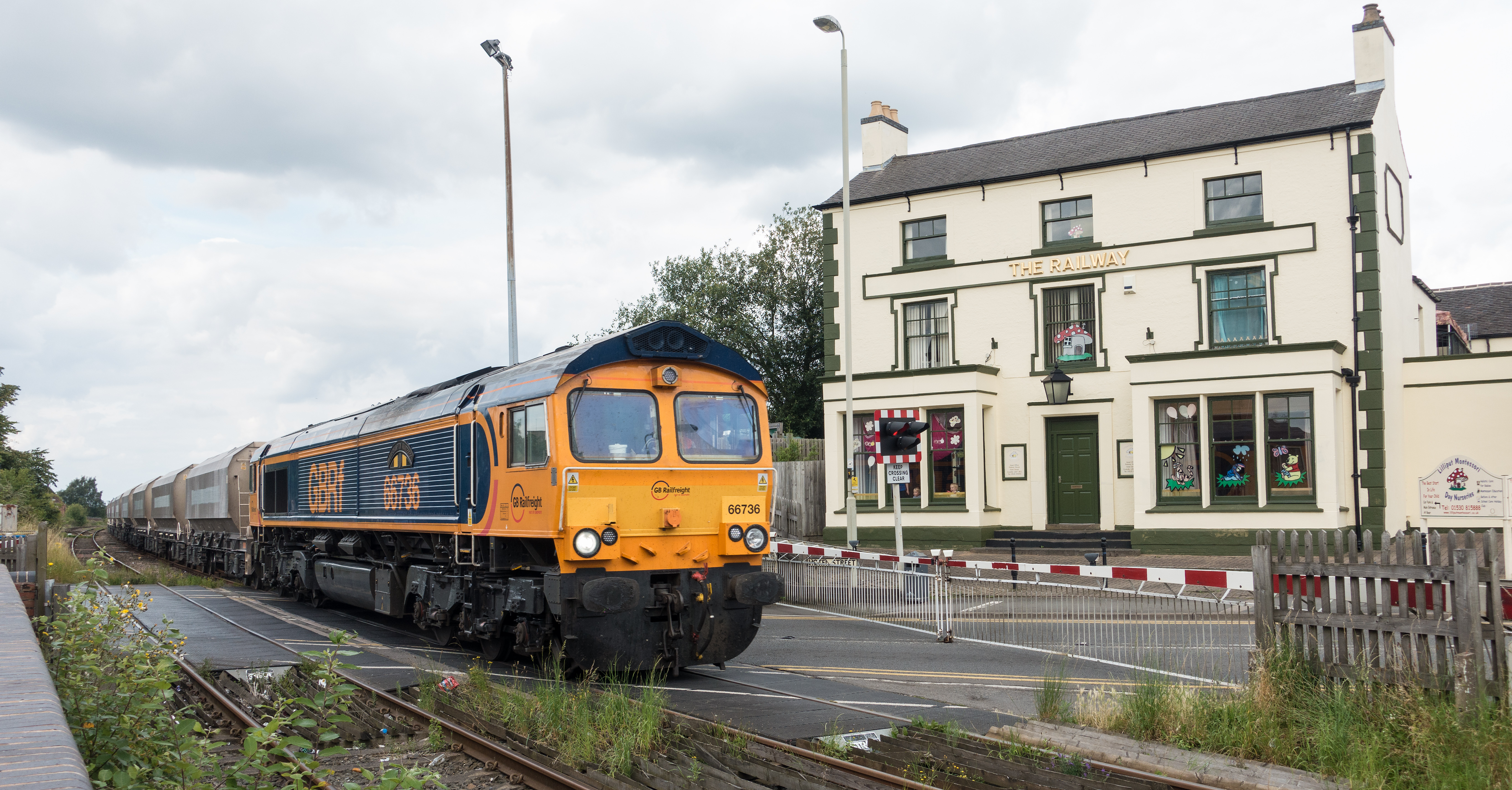
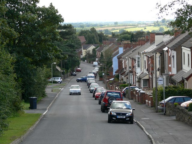
Ellistown and Battleflat is a civil parish in North West Leicestershire, England, just south of the unparished area of Coalville. Most of the parish's population lives in the village of Ellistown in the western part of the parish. The population of the civil parish at the 2011 census (including Bardon) was 2,626. Battleflat is a scattered settlement of farms and an industrial estate. Battleflat straddles the boundary between the parish and its neighbour of Stanton under Bardon. Battleflat was formerly divided between the parishes of Thornton and Ibstock. The toponym is said to be derived from a skirmish during the English Civil War The English Civil War (1642–1651) was a series of civil wars and political machinations between Parliamentarians (" Roundheads") and Royalists led by Charles I ("Cavaliers"), mainly over the manner of England's governance and issues of re .... References Civil parishes in Leicestershire North West Leicestershire District {{Leic ... [...More Info...] [...Related Items...] OR: [Wikipedia] [Google] [Baidu] |
Civil Parishes In England
In England, a civil parish is a type of Parish (administrative division), administrative parish used for Local government in England, local government. It is a territorial designation which is the lowest tier of local government below districts of England, districts and metropolitan and non-metropolitan counties of England, counties, or their combined form, the Unitary authorities of England, unitary authority. Civil parishes can trace their origin to the ancient system of Parish (Church of England), ecclesiastical parishes, which historically played a role in both secular and religious administration. Civil and religious parishes were formally differentiated in the 19th century and are now entirely separate. Civil parishes in their modern form came into being through the Local Government Act 1894, which established elected Parish councils in England, parish councils to take on the secular functions of the vestry, parish vestry. A civil parish can range in size from a sparsely ... [...More Info...] [...Related Items...] OR: [Wikipedia] [Google] [Baidu] |
North West Leicestershire
North West Leicestershire is a local government district in Leicestershire, England. The population of the Local Authority at the 2011 census was 93,348. Its main towns are Ashby-de-la-Zouch, Castle Donington, Coalville and Ibstock. The district contains East Midlands Airport, which operates flights to the rest of Britain and to various places in Europe. It is also notable as the location of Castle Donington and Donington Park, a grand-prix circuit and a major venue for music festivals. The district is represented in the UK Parliament by the constituency of the same name. The area has a long history of mineral extraction, with coal, brick clay, gravel and granite amongst the products. All the deep coal mines in the area have closed, but opencast mining still continues. The district was formed in 1974 by a merger of Ashby de la Zouch Urban District, Ashby Woulds Urban District, Coalville Urban District, Ashby de la Zouch Rural District, Castle Donington Rural District and ... [...More Info...] [...Related Items...] OR: [Wikipedia] [Google] [Baidu] |
England
England is a country that is part of the United Kingdom. It shares land borders with Wales to its west and Scotland to its north. The Irish Sea lies northwest and the Celtic Sea to the southwest. It is separated from continental Europe by the North Sea to the east and the English Channel to the south. The country covers five-eighths of the island of Great Britain, which lies in the North Atlantic, and includes over 100 smaller islands, such as the Isles of Scilly and the Isle of Wight. The area now called England was first inhabited by modern humans during the Upper Paleolithic period, but takes its name from the Angles, a Germanic tribe deriving its name from the Anglia peninsula, who settled during the 5th and 6th centuries. England became a unified state in the 10th century and has had a significant cultural and legal impact on the wider world since the Age of Discovery, which began during the 15th century. The English language, the Anglican Church, and Engli ... [...More Info...] [...Related Items...] OR: [Wikipedia] [Google] [Baidu] |
Unparished Area
In England, an unparished area is an area that is not covered by a civil parish (the lowest level of local government, not to be confused with an ecclesiastical parish). Most urbanised districts of England are either entirely or partly unparished. Many towns and some cities in otherwise rural districts are also unparished areas and therefore no longer have a town council or city council, and are instead directly managed by a higher local authority such as a district or county council. Until the mid-nineteenth century there had been many areas that did not belong to any parish, known as extra-parochial areas. Acts of Parliament between 1858 and 1868 sought to abolish such areas, converting them into parishes or absorbing them into neighbouring parishes. After 1868 there were very few extra-parochial areas left; those remaining were mostly islands, such as Lundy, which did not have a neighbouring parish into which they could be absorbed. Modern unparished areas (also termed "non- ... [...More Info...] [...Related Items...] OR: [Wikipedia] [Google] [Baidu] |
Coalville
Coalville is an industrial town in the district of North West Leicestershire, Leicestershire in the East Midlands of England, with a population at the 2011 census of 34,575. It lies on the A511 trunk road between Leicester and Burton upon Trent, close to junction 22 of the M1 motorway where the A511 meets the A50 between Ashby-de-la-Zouch and Leicester. It borders the upland area of Charnwood Forest to the east of the town. Coalville is twinned with Romans-sur-Isère in southeastern France. History Coalville is a product of the Industrial Revolution. As its name indicates, it is a former coal mining town and was a centre of the coal-mining district of north Leicestershire. It has been suggested that the name may derive from the name of the house belonging to the founder of Whitwick Colliery: 'Coalville House'. However, conclusive evidence is a report in the ''Leicester Chronicle'' of 16 November 1833: 'Owing to the traffic which has been produced by the Railway and New ... [...More Info...] [...Related Items...] OR: [Wikipedia] [Google] [Baidu] |
Ellistown
Ellistown is a village about south of Coalville in North West Leicestershire, England. It is named after Colonel Joseph Joel Ellis who died in 1885. The population from the 2011 census was included in the civil parish of Ellistown and Battleflat. The village has a community primary school, two village shops and a hairdressing salon. A working men's club, Ellistown F.C. football club and five play parks. Ellistown is just within the eastern boundary of the National Forest. History Ellistown is named after Colonel Joseph Joel Ellis of London, but its history predates him. From the 14th century it was in the hundred of Sparkenhoe and parish of Ibstock. Ecclesiastically the area was part of the Diocese of Peterborough from the English Reformation until 1926, when it became part of the new Diocese of Leicester. The village was developed for coal mining from the Victorian era. Mediaeval and early Modern Periods Around 1140 Swinfen Grange was one of two granges given by noble ... [...More Info...] [...Related Items...] OR: [Wikipedia] [Google] [Baidu] |
Industrial Estate
An industrial park (also known as industrial estate, trading estate) is an area zoned and planned for the purpose of industrial development. An industrial park can be thought of as a more "heavyweight" version of a business park or office park, which has offices and light industry, rather than heavy industry. Industrial parks are notable for being relatively simple to build; they often feature speedily erected single-space steel sheds, occasionally in bright colours. Benefits Industrial parks are usually located on the edges of, or outside, the main residential area of a city, and are normally provided with good transportation access, including road and rail. One such example is the large number of industrial estates located along the River Thames in the Thames Gateway area of London. Industrial parks are usually located close to transport facilities, especially where more than one transport modes coincide, including highways, railroads, airports and ports. Another commo ... [...More Info...] [...Related Items...] OR: [Wikipedia] [Google] [Baidu] |
Stanton Under Bardon
Stanton-under-Bardon is a village and civil parish about southeast of Coalville, Leicestershire, England. The 2011 Census recorded the parish's population as 634. Most of the houses are red brick, and many on Main Street are terraced and have long, thin gardens. The village is set in farmland and open fields and is near Junction 22 of the M1 motorway. The village is near Markfield, with which it shares a local newspaper, the ''Markfield and Stanton Under Bardon Herald''. The village has a thatched pub, two churches and a primary school. Bardon Quarry is nearby. History Stanton under Bardon derives from the Old English words ''stᾱn'' for "stone" and ''tῡn'' for a village or estate. The Domesday Book of 1086 records Stanton under Bardon under the Guthlaxon hundred of Leicestershire. It records the village as having had 18 households and three geld units. These were average statistics for the time in comparison to surrounding villages such as Barlestone and Osbaston. Geld ... [...More Info...] [...Related Items...] OR: [Wikipedia] [Google] [Baidu] |
Thornton, Leicestershire
Thornton is a village in Leicestershire, England. The village is within the civil parish of Bagworth and Thornton. It is a linear village lying along a scarp overlooking Thornton Reservoir. The Church of England parish church of St Peter was built in the 13th century. The church door was originally at Ulverscroft Priory. The priory door is inside the church and not its main external door. It is believed that the door was the only compensation received for the loss of tithes due to the Reformation of Henry VIII. It was reported in November 2011 that the church is being split in two by subsidence. The first historical notice of Thornton, otherwise called "Torinton" is that in the Domesday Book completed in 1086 AD. In it Thornton, or Torentum, comes under the manor of Bagworde (Bagworth). Benefactions. There were many in the parish but the following 2 are most significant. 1. In 1630 Luke Jackson gave by will one third of the tithes of Stanton Under Bardon in the parish of Thornt ... [...More Info...] [...Related Items...] OR: [Wikipedia] [Google] [Baidu] |
Ibstock
Ibstock is a former coal mining town and civil parish about south of Coalville in North West Leicestershire, England. The population of the civil parish was 5,760 at the 2001 census increasing to 6,201 at the 2011 census. The town is on the A447 road between Coalville and Hinckley.OS Explorer Map 245: The National Forest :(1:25 000) :Map Details retrieved 11 April 2013 The Ibstock could be a derivative of ''Ibestoche'' meaning the farmstead or hamlet of Ibba, which is an |
Toponymy
Toponymy, toponymics, or toponomastics is the study of ''toponyms'' (proper names of places, also known as place names and geographic names), including their origins, meanings, usage and types. Toponym is the general term for a proper name of any geographical feature, and full scope of the term also includes proper names of all cosmographical features. In a more specific sense, the term ''toponymy'' refers to an inventory of toponyms, while the discipline researching such names is referred to as ''toponymics'' or ''toponomastics''. Toponymy is a branch of onomastics, the study of proper names of all kinds. A person who studies toponymy is called ''toponymist''. Etymology The term toponymy come from grc, τόπος / , 'place', and / , 'name'. The ''Oxford English Dictionary'' records ''toponymy'' (meaning "place name") first appearing in English in 1876. Since then, ''toponym'' has come to replace the term ''place-name'' in professional discourse among geographers. Toponym ... [...More Info...] [...Related Items...] OR: [Wikipedia] [Google] [Baidu] |


