|
El Rosario, Baja California
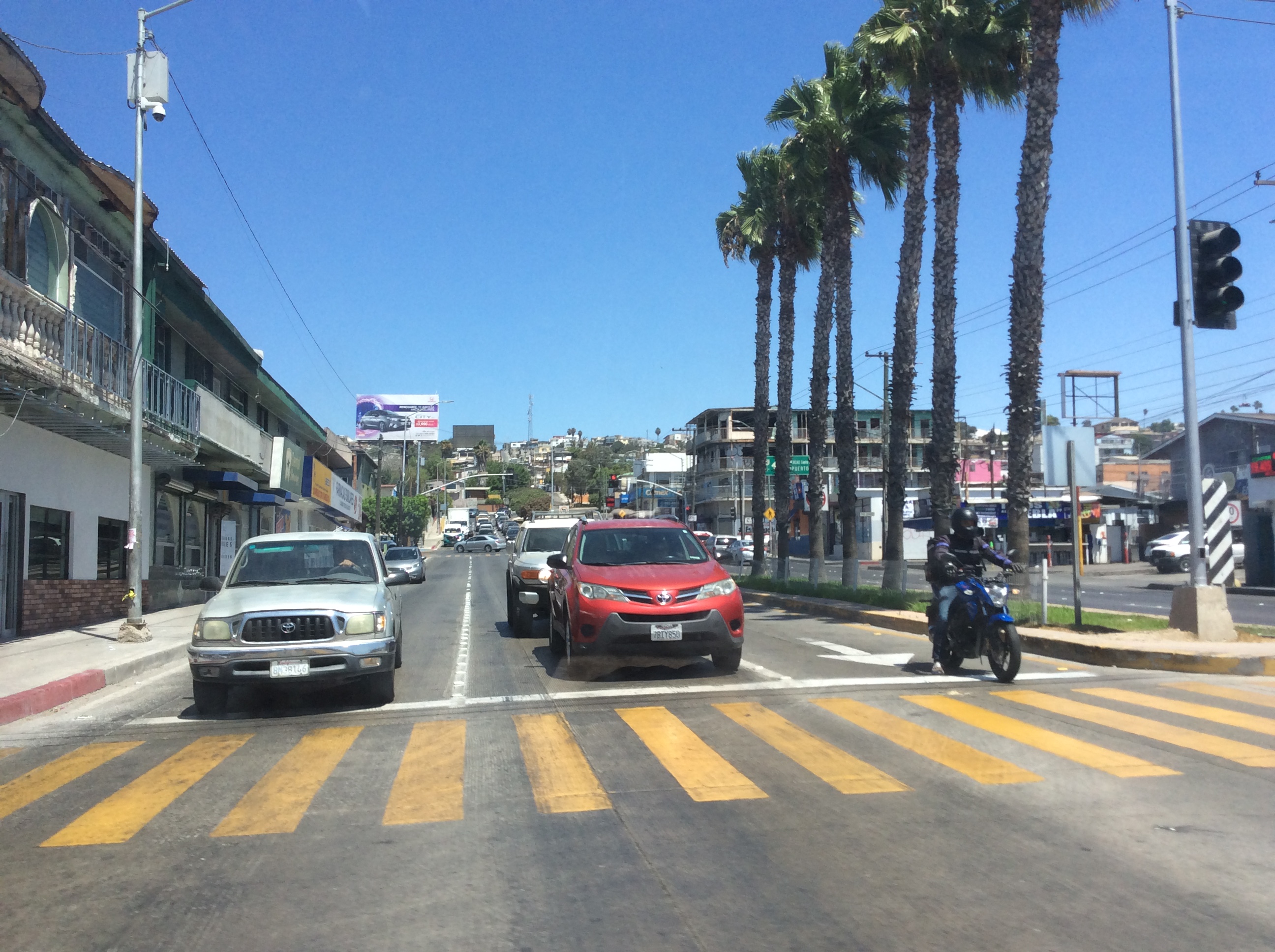
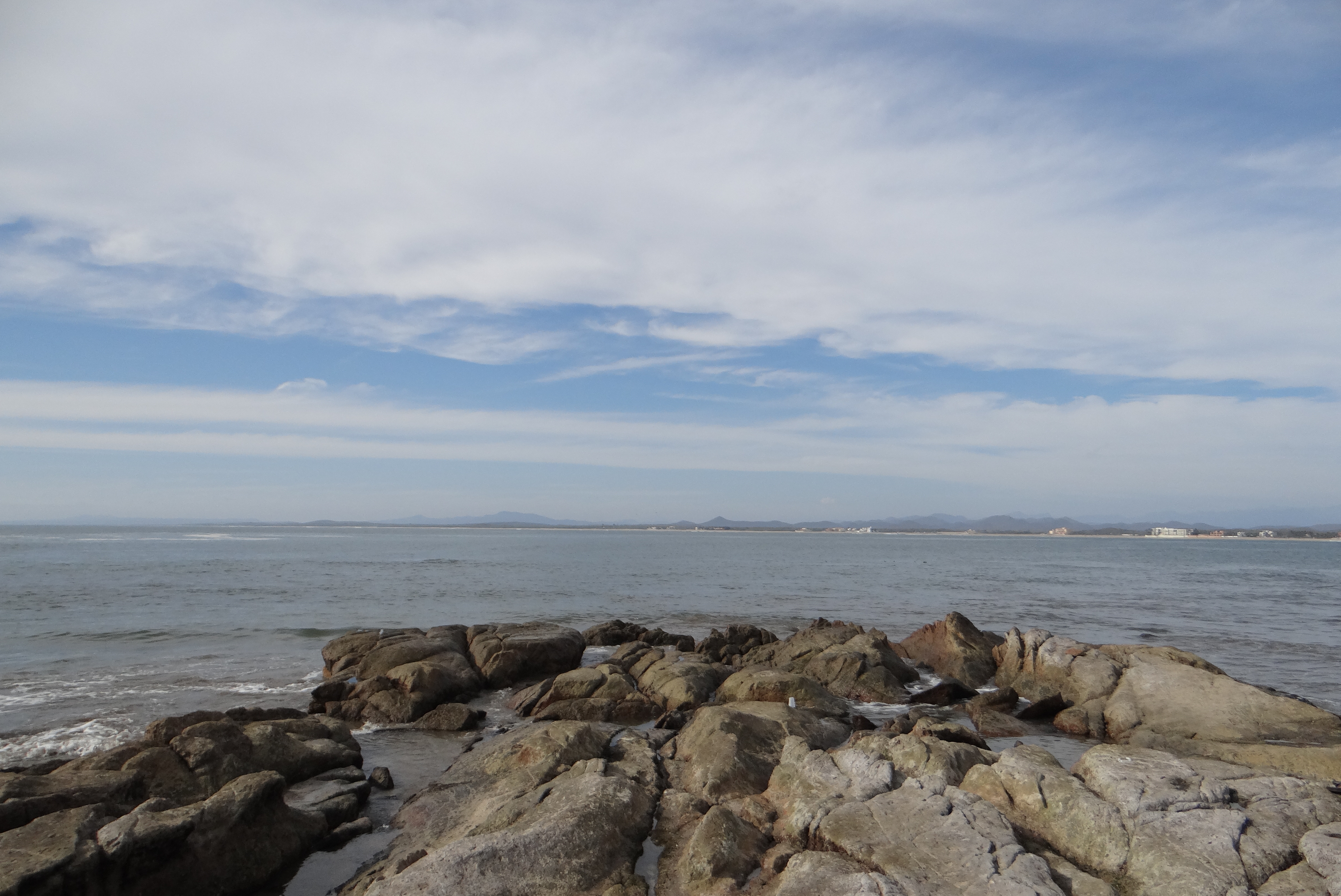
El Rosario is a town in San Quintín Municipality, Baja California, located on the Pacific Coast of Mexico. The census of 2010 reported a population of 1,704 inhabitants. Geography El Rosario is a small town on the west coast of the state of Baja California on Highway 1, 61 km south of San Quintín and 119 km north of Cataviña. Economy The town historically has been primarily fishing and agricultural, with the major crop being onions. Other local crops include chilies, alfalfa, potatoes, and beans. There are several nearby fishing camps at Punta Baja and Isla San Jerónimo. Bocana Beach (Spanish: ''La Bocana'') is located approximately 5 miles west of El Rosario through the Arroyo and over the dunes. Tourism The town is located on Mexican Federal Highway 1 and also a stop on the Baja 1000 racing event. There are several markets in El Rosario, ranging from mini-markets and meat markets to traditional markets and liquor stores. The town is one of many locations in Baja C ... [...More Info...] [...Related Items...] OR: [Wikipedia] [Google] [Baidu] |
Mexican Federal Highway 1
Federal Highway 1 ( es, Carretera Federal 1, Fed. 1) is a free (libre) part of the federal highway corridors () of Mexico, and the highway follows the length of the Baja California Peninsula from Tijuana, Baja California, in the north to Cabo San Lucas, Baja California Sur, in the south. The road connects with ''Via Rapida'', which merges into the American Interstate 5 (I-5) at the San Ysidro Port of Entry, which crosses the international border south of San Ysidro, California. Fed. 1 is often called the ''Carretera Transpeninsular'' (Transpeninsular Highway) and runs a length of from Tijuana to Cabo San Lucas. Most of its course, particularly south of Ensenada, is as a two-lane rural highway. Completed in 1973, Fed. 1's official name is the Benito Juárez Transpeninsular Highway (), named in honor of Mexico's president during the country's 1860s invasion by France. Route description The road begins in the border city of Tijuana, where it continues northward ... [...More Info...] [...Related Items...] OR: [Wikipedia] [Google] [Baidu] |
Misión Nuestra Señora Del Santísimo Rosario De Viñadaco
Mission Nuestra Señora del Santísimo Rosario de Viñadaco ( es, Misión Nuestra Señora del Santísimo Rosario de Viñadaco), also known as Misión El Rosario, was the first Dominican Order, Dominican mission in Baja California, established in 1774 by Vicente Mora and Francisco Galisteo near the modern town of El Rosario, Baja California, El Rosario. History When the Dominicans took over the mission field of Baja California from the Franciscans in 1773, the missions in the central and southern parts of the peninsula were in evident decline, as their Indian populations dwindled under the impact of Old World diseases. However, the northern portion of the peninsula, only recently reconnoitered by Gaspar de Portolà, Gaspar de Portolá and Junipero Serra, had much more potential. The site of El Rosario, located near the western coast among the northernmost Cochimi, Cochimí Indians, was chosen as the initial Dominican mission site. The location had been initially identified by the s ... [...More Info...] [...Related Items...] OR: [Wikipedia] [Google] [Baidu] |
Asteraceae
The family Asteraceae, alternatively Compositae, consists of over 32,000 known species of flowering plants in over 1,900 genera within the order Asterales. Commonly referred to as the aster, daisy, composite, or sunflower family, Compositae were first described in the year 1740. The number of species in Asteraceae is rivaled only by the Orchidaceae, and which is the larger family is unclear as the quantity of extant species in each family is unknown. Most species of Asteraceae are annual, biennial, or perennial herbaceous plants, but there are also shrubs, vines, and trees. The family has a widespread distribution, from subpolar to tropical regions in a wide variety of habitats. Most occur in hot desert and cold or hot semi-desert climates, and they are found on every continent but Antarctica. The primary common characteristic is the existence of sometimes hundreds of tiny individual florets which are held together by protective involucres in flower heads, or more technicall ... [...More Info...] [...Related Items...] OR: [Wikipedia] [Google] [Baidu] |
Shrub
A shrub (often also called a bush) is a small-to-medium-sized perennial woody plant. Unlike herbaceous plants, shrubs have persistent woody stems above the ground. Shrubs can be either deciduous or evergreen. They are distinguished from trees by their multiple stems and shorter height, less than tall. Small shrubs, less than 2 m (6.6 ft) tall are sometimes termed as subshrubs. Many botanical groups have species that are shrubs, and others that are trees and herbaceous plants instead. Some definitions state that a shrub is less than and a tree is over 6 m. Others use as the cut-off point for classification. Many species of tree may not reach this mature height because of hostile less than ideal growing conditions, and resemble a shrub-sized plant. However, such species have the potential to grow taller under the ideal growing conditions for that plant. In terms of longevity, most shrubs fit in a class between perennials and trees; some may only last about five y ... [...More Info...] [...Related Items...] OR: [Wikipedia] [Google] [Baidu] |
Aplopappus Vernicosus
''Hazardia vernicosa'' is a Mexican species of shrub in the family Asteraceae. It has been found only in the state of Baja California in northwestern Mexico, specifically near El Rosario, Baja California, El Rosario. It has not been found in the United States although one of the Mexican populations is less than 10 km ( miles) south of the international border. ''Hazardia vernicosa'' is a branching subshrub up to tall with several stems arising from a woody underground caudex. The plant produces numerous Head (botany), flower heads each head with 3-5 yellow disc flowers plus 3-5 ray flowers. as ''Aplopappus vernicosus''
|
Baja 1000
The Baja 1000 is an annual Mexican off-road motorsport race held on the Baja California Peninsula. It is one of the most prestigious off-road races in the world, having attracted competitors from six continents. The race was founded by Ed Pearlman in 1967 and is sanctioned by SCORE International. The race is the final round of a four-race annual series, which also includes the San Felipe 250, the Baja 400 and the Baja 500. The 2017 Baja 1000 marked the 50th anniversary of the race. The Baja 1000 has various types of classes include Trophy trucks, Dirtbikes, Truggys, Side-by-sides, Baja Bugs and Buggies all competing at the same time on the same course. The course has remained relatively the same over the years, about every other event being either a point-to-point race from Ensenada to La Paz, or a loop race starting and finishing in Ensenada. The name of the event can be misleading as the mileage varies for the type of event. A "Loop" can be 600 to 850 miles starting and fi ... [...More Info...] [...Related Items...] OR: [Wikipedia] [Google] [Baidu] |
Isla San Jerónimo
Isla San Jerónimo, is an island in the Pacific Ocean on the west side of the Baja California Peninsula. The island is part of the large Ensenada Municipality and accessed from Punta Baja near the community of El Rosario, Baja California. Biology Isla San Jerónimo has three species of reptiles: '' Anniella geronimensis'' (Baja California legless lizard), '' Salvadora hexalepis'' (western patch-nosed snake), and ''Uta stansburiana The common side-blotched lizard (''Uta stansburiana'') is a species of side-blotched lizard in the family Phrynosomatidae. The species is native to dry regions of the western United States and northern Mexico. It is notable for having a unique fo ...'' (common side-blotched lizard). References *http://herpatlas.sdnhm.org/places/overview/isla-san-jer%C3%B3nimo/36/1/ * {{DEFAULTSORT:Isla San Jeronimo Islands of Ensenada Municipality Islands of Baja California Uninhabited islands of Mexico ... [...More Info...] [...Related Items...] OR: [Wikipedia] [Google] [Baidu] |
San Quintín, Baja California
San Quintín is a city in San Quintín Municipality, Baja California, located on the Pacific Coast of Mexico. The city had a population of 4777 in 2011. San Quintín is an important agricultural center for Baja California. The city is also an emerging tourist destination, known for its sand dunes and beaches. History In the 1880s, a British land company with plans for a wheat empire purchased much of the San Quintín area from the US–based International Land Company (ILC); at the time, ILC owned most of northern Baja. In response to promises of agricultural wealth, around a hundred English colonists purchased subdivided land tracts from the parent company, planted wheat, and constructed a gristmill. For flour transportation, the English built a pier on inner Bahiá San Quintín and began constructing a railway to link up with the Southern Pacific tracks to the north in California. Thirty kilometers of track were laid, including a rail causeway from the west bank of inner Bahiá ... [...More Info...] [...Related Items...] OR: [Wikipedia] [Google] [Baidu] |
Administrative Divisions Of Mexico
The United Mexican States ( es, Estados Unidos Mexicanos) is a federal republic composed of 32 federal entities: 31 states and Mexico City, an autonomous entity. According to the Constitution of 1917, the states of the federation are free and sovereign in all matters concerning their internal affairs. Each state has its own congress and constitution. Federal entities of Mexico States Roles and powers of the states The states of the Mexican Federation are free, sovereign, autonomous and independent of each other. They are free to govern themselves according to their own laws; each state has a constitution that cannot contradict the federal constitution, which covers issues of national competence. The states cannot make alliances with other states or any independent nation without the consent of the whole federation, except those related to defense and security arrangements necessary to keep the border states secure in the event of an invasion. The political organizat ... [...More Info...] [...Related Items...] OR: [Wikipedia] [Google] [Baidu] |
Pacific Coast Of Mexico
The Pacific Coast of Mexico or West Coast of Mexico stretches along the coasts of western Mexico at the Pacific Ocean and its Gulf of California (Sea of Cortez). Geography Baja California Peninsula On the western Baja California Peninsula coast, it extends from the border with the United States at Tijuana in the state of Baja California, south to the tip of the Baja California Peninsula at Cabo San Lucas in the state of Baja California Sur. On the peninsula's eastern coast it extends from the head of the Gulf of California to Cabo San Lucas. Mainland Along Mexico's western mainland its Pacific Coast extends from the head of the eastern Gulf of California near the Colorado River Delta in Sonora state to south of the gulf to the open Pacific, and then further south to the border with Guatemala in the state of Chiapas near Tapachula. Settlements Major Pacific coastal cities include Tijuana, Ensenada, Mazatlan, Puerto Vallarta, Acapulco, and Salina Cruz. Ports Major ports alo ... [...More Info...] [...Related Items...] OR: [Wikipedia] [Google] [Baidu] |
Pacific Standard Time Zone
The Pacific Time Zone (PT) is a time zone encompassing parts of western Canada, the western United States, and western Mexico. Places in this zone observe standard time by subtracting eight hours from Coordinated Universal Time ( UTC−08:00). During daylight saving time, a time offset of UTC−07:00 is used. In the United States and Canada, this time zone is generically called the Pacific Time Zone. Specifically, time in this zone is referred to as Pacific Standard Time (PST) when standard time is being observed (early November to mid-March), and Pacific Daylight Time (PDT) when daylight saving time (mid-March to early November) is being observed. In Mexico, the corresponding time zone is known as the ''Zona Noroeste'' (Northwest Zone) and observes the same daylight saving schedule as the U.S. and Canada. The largest city in the Pacific Time Zone is Los Angeles, whose metropolitan area is also the largest in the time zone. The zone is two hours ahead of the Hawaii–Aleut ... [...More Info...] [...Related Items...] OR: [Wikipedia] [Google] [Baidu] |


