|
Dabous Giraffes
The Dabous Giraffes are neolithic petroglyphs by unknown artists on the western side of the Aïr Mountains in north-central Niger.Dabous Giraffes, Niger , ''Atlas Obscura'', accessed 30 September 2022. The carvings are in height and consist of two giraffes carved into the ''Dabous Rock'' with a great amount of detail. One of the giraffes is male, while the other, smaller, is female. The Dabous Giraffes are located on a outcrop in the desert in the first foothills of the |
Tifinagh
Tifinagh ( Tuareg Berber language: or , ) is a script used to write the Berber languages. Tifinagh is descended from the ancient Libyco-Berber alphabet. The traditional Tifinagh, sometimes called Tuareg Tifinagh, is still favored by the Tuareg Berbers of the Sahara desert in southern Algeria, northeastern Mali, northern Niger and northern Burkina Faso for use writing the Tuareg Berber language. Neo-Tifinagh () is an alphabet developed by Berber Academy to adopt Tuareg Tifinagh for use with Kabyle; it has been since modified for use across North Africa. Tifinagh is one of three major competing Berber orthographies alongside the Berber Latin alphabet and the Arabic script. Tifinagh is the official script for Tamazight, an official language of Morocco. However, outside of symbolic cultural uses, Latin remains the dominant script for writing Berber languages both in Morocco and throughout North Africa. The ancient Libyco-Berber script (or the Libyc script) was used by the an ... [...More Info...] [...Related Items...] OR: [Wikipedia] [Google] [Baidu] |
Rock Art In Africa
Rock most often refers to: * Rock (geology), a naturally occurring solid aggregate of minerals or mineraloids * Rock music, a genre of popular music Rock or Rocks may also refer to: Places United Kingdom * Rock, Caerphilly, a location in Wales * Rock, Cornwall, a village in England * Rock, County Tyrone, a village in Northern Ireland * Rock, Devon, a location in England * Rock, Neath Port Talbot, a location in Wales * Rock, Northumberland, a village in England * Rock, Somerset, a location in Wales * Rock, West Sussex, a hamlet in Washington, England * Rock, Worcestershire, a village and civil parish in England United States * Rock, Kansas, an unincorporated community * Rock, Michigan, an unincorporated community * Rock, West Virginia, an unincorporated community * Rock, Rock County, Wisconsin, a town in southern Wisconsin * Rock, Wood County, Wisconsin, a town in central Wisconsin Elsewhere * Corregidor, an island in the Philippines also known as "The Rock" * Jamaica, an isla ... [...More Info...] [...Related Items...] OR: [Wikipedia] [Google] [Baidu] |
Prehistoric Sculpture
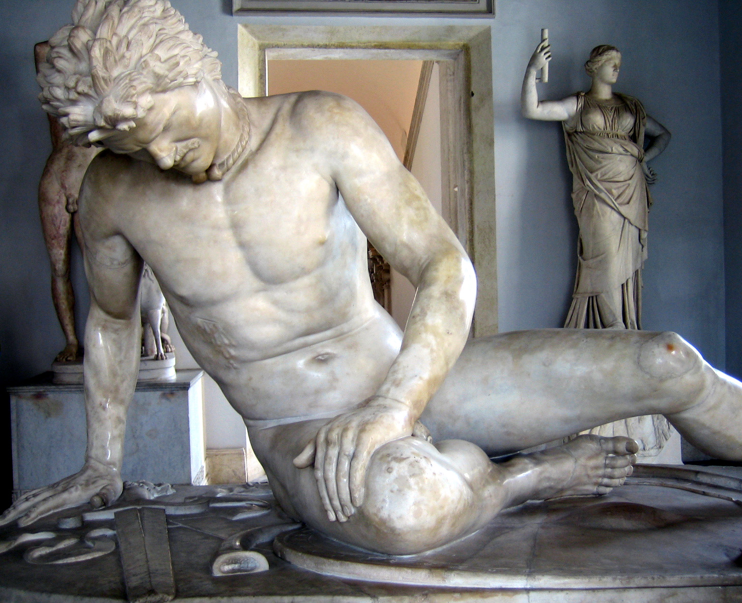
Sculpture is the branch of the visual arts that operates in three dimensions. Sculpture is the three-dimensional art work which is physically presented in the dimensions of height, width and depth. It is one of the plastic arts. Durable sculptural processes originally used carving (the removal of material) and modelling (the addition of material, as clay), in stone, metal, ceramics, wood and other materials but, since Modernism, there has been an almost complete freedom of materials and process. A wide variety of materials may be worked by removal such as carving, assembled by welding or modelling, or moulded or cast. Sculpture in stone survives far better than works of art in perishable materials, and often represents the majority of the surviving works (other than pottery) from ancient cultures, though conversely traditions of sculpture in wood may have vanished almost entirely. However, most ancient sculpture was brightly painted, and this has been lost. [...More Info...] [...Related Items...] OR: [Wikipedia] [Google] [Baidu] |
The British Museum
The British Museum is a public museum dedicated to human history, art and culture located in the Bloomsbury area of London. Its permanent collection of eight million works is among the largest and most comprehensive in existence. It documents the story of human culture from its beginnings to the present.Among the national museums in London, sculpture and decorative and applied art are in the Victoria and Albert Museum; the British Museum houses earlier art, non-Western art, prints and drawings. The National Gallery holds the national collection of Western European art to about 1900, while art of the 20th century on is at Tate Modern. Tate Britain holds British Art from 1500 onwards. Books, manuscripts and many works on paper are in the British Library. There are significant overlaps between the coverage of the various collections. The British Museum was the first public national museum to cover all fields of knowledge. The museum was established in 1753, largely based on ... [...More Info...] [...Related Items...] OR: [Wikipedia] [Google] [Baidu] |
Petrified Wood
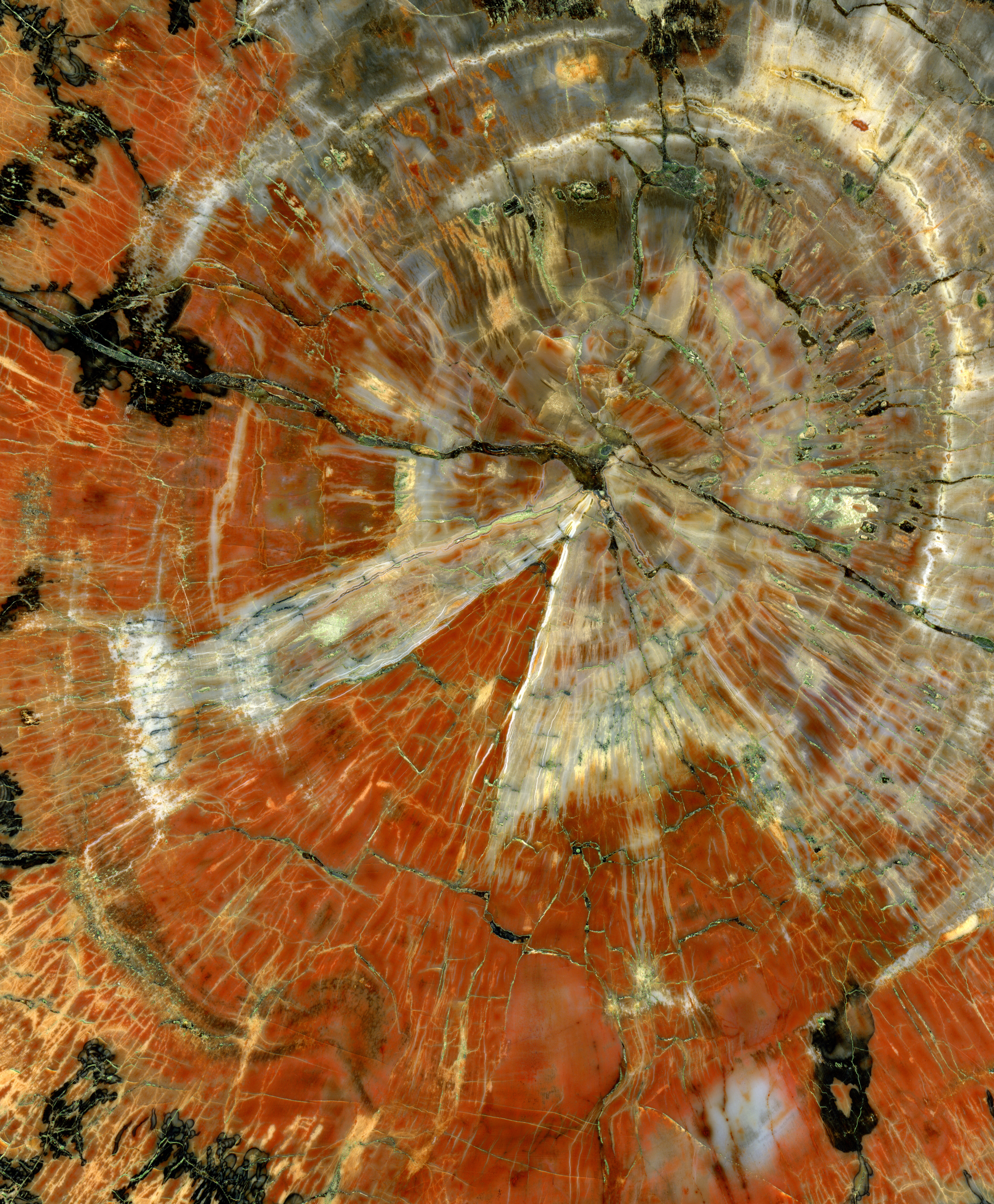
Petrified wood, also known as petrified tree (from Ancient Greek meaning 'rock' or 'stone'; literally 'wood turned into stone'), is the name given to a special type of ''fossilized wood'', the fossilized remains of terrestrial vegetation. ''Petrifaction'' is the result of a tree or tree-like plants having been replaced by stone via a mineralization process that often includes permineralization and replacement. The organic materials making up cell walls have been replicated with minerals (mostly silica in the form of opal, chalcedony, or quartz). In some instances, the original structure of the stem tissue may be partially retained. Unlike other plant fossils, which are typically impressions or compressions, petrified wood is a three-dimensional representation of the original organic material. The petrifaction process occurs underground, when wood becomes buried in water-saturated sediment or volcanic ash. The presence of water reduces the availability of oxygen which inhibits ... [...More Info...] [...Related Items...] OR: [Wikipedia] [Google] [Baidu] |
Savannah
A savanna or savannah is a mixed woodland-grassland (i.e. grassy woodland) ecosystem characterised by the trees being sufficiently widely spaced so that the Canopy (forest), canopy does not close. The open canopy allows sufficient light to reach the ground to support an unbroken herbaceous layer consisting primarily of grasses. According to ''Britannica'', there exists four savanna forms; ''savanna woodland'' where trees and shrubs form a light canopy, ''tree savanna'' with scattered trees and shrubs, ''shrub savanna'' with distributed shrubs, and ''grass savanna'' where trees and shrubs are mostly nonexistent.Smith, Jeremy M.B.. "savanna". Encyclopedia Britannica, 5 Sep. 2016, https://www.britannica.com/science/savanna/Environment. Accessed 17 September 2022. Savannas maintain an open canopy despite a high tree density. It is often believed that savannas feature widely spaced, scattered trees. However, in many savannas, tree densities are higher and trees are more regularly sp ... [...More Info...] [...Related Items...] OR: [Wikipedia] [Google] [Baidu] |
Sahara
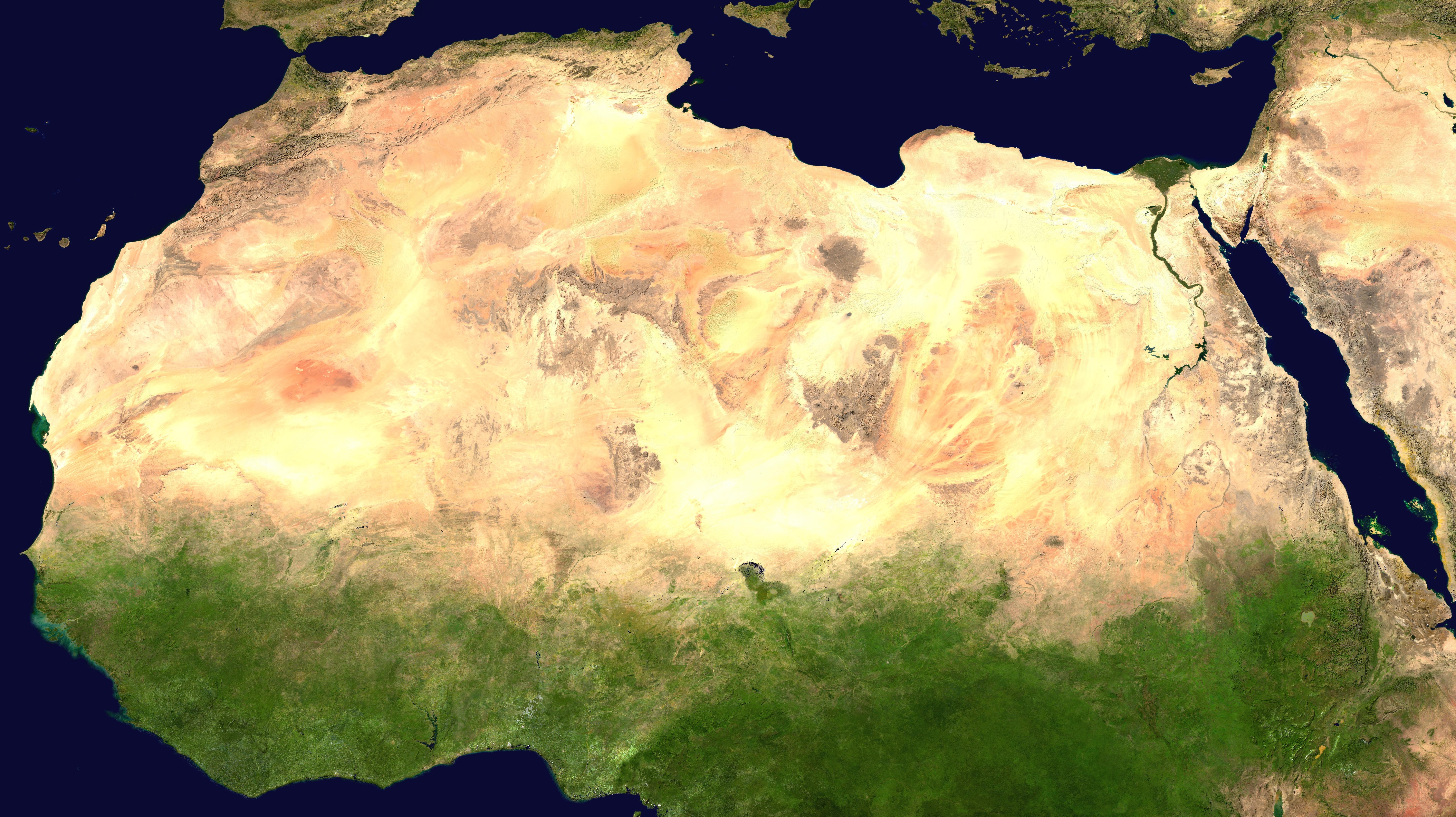
, photo = Sahara real color.jpg , photo_caption = The Sahara taken by Apollo 17 astronauts, 1972 , map = , map_image = , location = , country = , country1 = , country2 = , country3 = , country4 = , country5 = , country6 = , country7 = , country8 = , country9 = , country10 = ( disputed) , region = , state = , district = , city = , relief = , label = , label_position = , coordinates = , coordinates_ref = , elevation = , elevation_m = , elevation_ft = , elevation_ref = , length = , length_mi = , length_km = 4,800 , length_orientation = , length_note = , width = , width_mi = , width ... [...More Info...] [...Related Items...] OR: [Wikipedia] [Google] [Baidu] |
African Humid Period
The African humid period (AHP) (also known by other names) is a climate period in Africa during the late Pleistocene and Holocene geologic epochs, when northern Africa was wetter than today. The covering of much of the Sahara desert by grasses, trees and lakes was caused by changes in Earth's orbit around the Sun; changes in vegetation and dust in the Sahara which strengthened the African monsoon; and increased greenhouse gases. During the preceding Last Glacial Maximum, the Sahara contained extensive dune fields and was mostly uninhabited. It was much larger than today, but its lakes and rivers such as Lake Victoria and the White Nile were either dry or at low levels. The humid period began about 14,600–14,500 years ago at the end of Heinrich event 1, simultaneously to the Bølling–Allerød warming. Rivers and lakes such as Lake Chad formed or expanded, glaciers grew on Mount Kilimanjaro and the Sahara retreated. Two major dry fluctuations occurred; during the Youn ... [...More Info...] [...Related Items...] OR: [Wikipedia] [Google] [Baidu] |
Trans-Saharan Highway
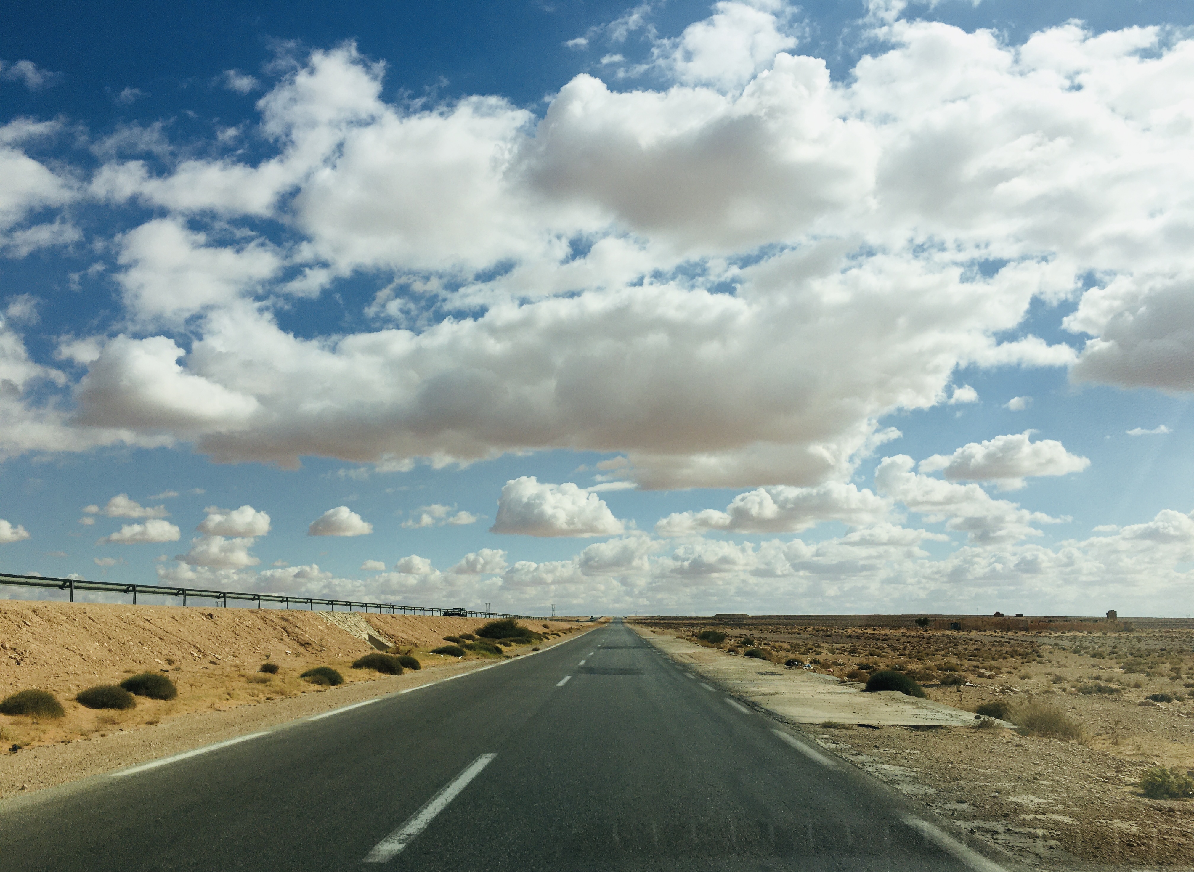
The Trans-Sahara Highway or TAH 2 is a proposed transnational highway project to pave, improve and ease border formalities on an existing trade route running north–south across the Sahara Desert. It runs between North Africa bordered by the Mediterranean Sea in the north and West Africa bordered by the Atlantic Ocean in the south, from Algiers in Algeria to Lagos in Nigeria, giving it the alternative names of the Algiers–Lagos Highway or Lagos–Algiers Highway. The Trans-Sahara Highway is one of the oldest transnational highways in Africa and one of the most complete, having been proposed in 1962, with construction of sections in the Sahara starting in the 1970s. Its central section is still little-used though, and still requires special vehicles and precautions to be taken to survive the harsh environment and climate of the center of the desert. Route and status Overall features, length and condition The Trans-Sahara Highway has a length of about 4,500 km o ... [...More Info...] [...Related Items...] OR: [Wikipedia] [Google] [Baidu] |
Agadez
Agadez ( Air Tamajeq: ⴰⴶⴰⴷⴰⵣ, ''Agadaz''), formerly spelled Agadès, is the fifth largest city in Niger, with a population of 110,497 based on the 2012 census. The capital of Agadez Region, it lies in the Sahara desert, and is also the capital of Aïr, one of the traditional Tuareg– Berber federations. The historic centre of the town has been designated a World Heritage Site by UNESCO. History Agadez was founded before the 14th century, and, by growing around trans-Saharan trade, gradually became the most important city of the Tuareg people, supplanting Assodé. The city still sees the arrival of caravans, bringing salt from Bilma. In 1449 Agadez became a sultanate, but was later conquered by the Songhai Empire in 1515, remaining a part of that empire until 1591.Geels, Jolijn, (2006) ''Bradt Travel Guide - Niger'', pgs. 157-200 At this point, the city had a population of around 30,000 people and was a key passage for the medieval caravans trading between the ... [...More Info...] [...Related Items...] OR: [Wikipedia] [Google] [Baidu] |


