|
Carterton, Oxfordshire
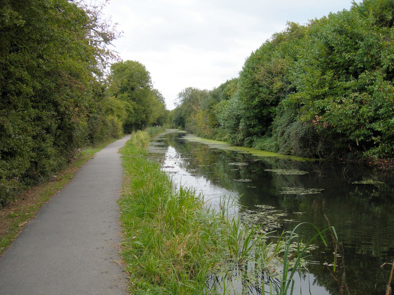
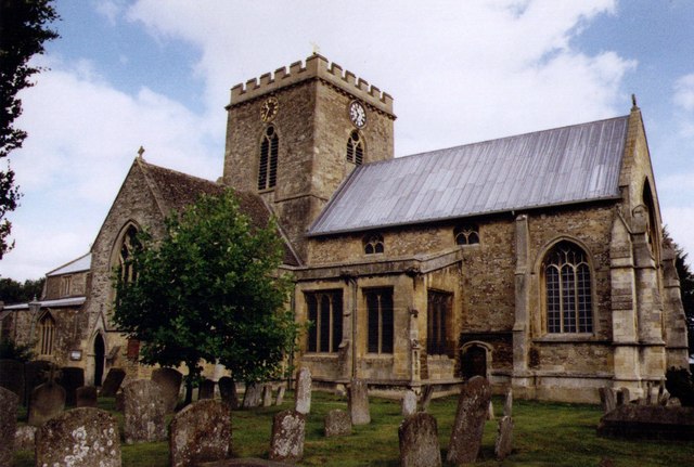
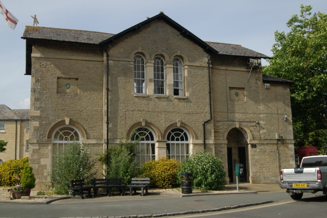
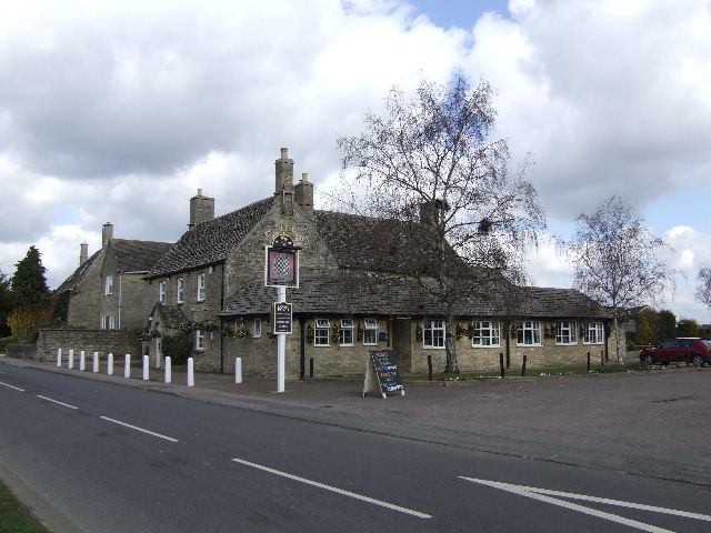
Carterton is a town in West Oxfordshire district in the county of Oxfordshire, England and is south-west of Witney. The 2011 Census recorded the parish's population as 15,769. History Much of what is now the northern part of the town was held by the Moleyns family from at least 1369, but in 1429 William Lord Moleyns was killed at the siege of Orléans and the land passed to the Hungerford family. During the medieval period the main road through Carterton was one of the most important in the country, taking trains of packhorses laden with Cotswold wool over Radcot Bridge and on to Southampton for export to the weaving centre of Europe. In the 1770s the land was acquired by the Duke of Marlborough. The pattern of the present settlement dates from 1894 when part of the estate was sold to Homesteads Limited whose director was William Carter. The land was divided into plots of 6 acres and sold for £20 an acre with bungalows costing from £120. Many of the settlers were retired s ... [...More Info...] [...Related Items...] OR: [Wikipedia] [Google] [Baidu] |
West Oxfordshire
West Oxfordshire is a local government district in northwest Oxfordshire, England, including towns such as Woodstock, Burford, Chipping Norton, Charlbury, Carterton and Witney, where the council is based. Area The area is mainly rural downland and forest, the main activities being farming and associated trades. The district was created on 1 April 1974, under the Local Government Act 1972, by the merger of Chipping Norton Municipal Borough, Woodstock Municipal Borough, Witney Urban District, Chipping Norton Rural District and Witney Rural District. West Oxfordshire lies within the River Thames catchment area, with the Thames itself and its tributaries including the River Evenlode and River Windrush running through the area. Parts of the district suffered severe flooding during the 2007 floods in the UK. Governance Elections to West Oxfordshire District Council are held in three out of every four years, with one third of the seats on the council being elected at each electio ... [...More Info...] [...Related Items...] OR: [Wikipedia] [Google] [Baidu] |
Voluntary Controlled Schools
A voluntary controlled school (VC school) is a state-funded school in England and Wales in which a foundation or trust (usually a Christian denomination) has some formal influence in the running of the school. Such schools have less autonomy than voluntary aided schools, in which the foundation pays part of any building costs. Characteristics Voluntary controlled schools are a kind of "maintained school", meaning that they are funded by central government via the local authority, and do not charge fees to students. The majority are also faith schools. The land and buildings are typically owned by a charitable foundation, which also appoints about a quarter of the school governors. However, the local authority employs the school's staff and has primary responsibility for the school's admission arrangements. Specific exemptions from Section 85 of the Equality Act 2010 enables VC faith schools to use faith criteria in prioritising pupils for admission to the schools. Pupils at vol ... [...More Info...] [...Related Items...] OR: [Wikipedia] [Google] [Baidu] |
Cirencester
Cirencester (, ; see below for more variations) is a market town in Gloucestershire, England, west of London. Cirencester lies on the River Churn, a tributary of the River Thames, and is the largest town in the Cotswolds. It is the home of the Royal Agricultural University, the oldest agricultural college in the English-speaking world, founded in 1840. The town had a population of 20,229 in 2021. The Roman name for the town was Corinium, which is thought to have been associated with the ancient British tribe of the ''Dobunni'', having the same root word as the River Churn. The earliest known reference to the town was by Ptolemy in AD 150. The town's Corinium Museum has an extensive Roman collection. Cirencester is twinned with the town of Itzehoe, in the Steinburg region of Germany. Local geography Cirencester lies on the lower dip slopes of the Cotswold Hills, an outcrop of oolitic limestone. Natural drainage is into the River Churn, which flows roughly north to south ... [...More Info...] [...Related Items...] OR: [Wikipedia] [Google] [Baidu] |
Swindon
Swindon () is a town and unitary authority with Borough status in the United Kingdom, borough status in Wiltshire, England. As of the 2021 Census, the population of Swindon was 201,669, making it the largest town in the county. The Swindon unitary authority area had a population of 233,410 as of 2021. Located in South West England, the town lies between Bristol, 35 miles (56 kilometres) to its west, and Reading, Berkshire, Reading, equidistant to its east. Recorded in the 1086 Domesday Book as ''Suindune'', it was a small market town until the mid-19th century, when it was selected as the principal site for the Great Western Railway's repair and maintenance Swindon Works, works, leading to a marked increase in its population. The new town constructed for the railway workers produced forward-looking amenities such as the UK’s first lending library and a ‘cradle-to-grave' health care centre that was later used as a blueprint for the National Health Service, NHS. After the W ... [...More Info...] [...Related Items...] OR: [Wikipedia] [Google] [Baidu] |
Lechlade
Lechlade () is a town at the southern edge of the Cotswolds in Gloucestershire, England, south of Birmingham and west of London. It is the highest point at which the River Thames is navigable, although there is a right of navigation that continues south-west into Cricklade, in the neighbouring county of Wiltshire. The town is named after the River Leach that joins the Thames near the Trout Inn and St. John's Bridge. The low-lying land is alluvium, Oxford Clay and river gravels and the town is surrounded by lakes created from disused gravel extraction sites, forming parts of the Cotswold Water Park; several have now been designated as Sites of Special Scientific Interest and nature reserves. Human occupation dates from the neolithic, Iron Age and Roman periods and it developed as a trading centre served by river, canal, roads and railway, although the station closed in 1962. The Anglican Church of St Lawrence is a Grade I listed building dating from the 15th century. The deve ... [...More Info...] [...Related Items...] OR: [Wikipedia] [Google] [Baidu] |
Faringdon
Faringdon is a historic market town in the Vale of White Horse, Oxfordshire, England, south-west of Oxford, north-west of Wantage and east-north-east of Swindon. It extends to the River Thames in the north; the highest ground is on the Ridgeway in the south. Faringdon was Berkshire's westernmost town until the 1974 boundary changes transferred its administration to Oxfordshire. The civil parish is formally known as ''Great Faringdon'', to distinguish it from Little Faringdon in West Oxfordshire. The 2011 Census gave a population of 7,121; it was estimated at 7,992 in 2019. On 1 February 2004, Faringdon became the first place in south-east England to be awarded Fairtrade Town status. History The toponym "Faringdon" means "hill covered in fern". Claims, for example by P. J. Goodrich, that King Edward the Elder (reigned 899–924) died in Faringdon are unfounded. The town was granted a weekly market in 1218, and as a result came to be called Chipping Faringdon. A weekly ou ... [...More Info...] [...Related Items...] OR: [Wikipedia] [Google] [Baidu] |
Wantage
Wantage () is a historic market town and civil parish in Oxfordshire, England. Although within the boundaries of the historic county of Berkshire, it has been administered as part of the Vale of White Horse district of Oxfordshire since 1974. The town is on Letcombe Brook, south-west of Abingdon, north-west of Reading, south-west of Oxford and north-west of Newbury. It was the birthplace of King Alfred the Great in 849. History Wantage was a small Roman settlement but the origin of the toponym is somewhat uncertain. It is generally thought to be from an Old English phrase meaning "decreasing river". King Alfred the Great was born at the royal palace there in the 9th century, in what was originally known as Wanating. Wantage appears in the Domesday Book of 1086. Its value was £61 and it was in the king's ownership until Richard I passed it to the Earl of Albemarle in 1190. Weekly trading rights were first granted to the town by Henry III in 1246. Markets are now held ... [...More Info...] [...Related Items...] OR: [Wikipedia] [Google] [Baidu] |
Bampton, Oxfordshire
Bampton, also called Bampton-in-the-Bush, is a settlement and civil parish in the Thames Valley about southwest of Witney in Oxfordshire. The parish includes the hamlet of Weald. The 2011 Census recorded the parish's population as 2,564. Bampton is variously referred to as both a town and a village. The Domesday Book recorded that it was a market town by 1086. It continued as such until the 1890s. It has both a town hall and a village hall. Geography The core of the village is on gravel terraces formed of Summertown-Radley or flood plain terrace deposits. It is just east of Shill Brook, which flows south to join the River Thames, and just north of a smaller stream that flows west to join Shill Brook. The A4095 road passes through the village. The civil parish measures about north – south and about east – west. It is bounded to the south by the River Thames, to the east by Aston Ditch, and to the west and north by ditches and field boundaries. A small part of the airfi ... [...More Info...] [...Related Items...] OR: [Wikipedia] [Google] [Baidu] |
Oxford
Oxford () is a city in England. It is the county town and only city of Oxfordshire. In 2020, its population was estimated at 151,584. It is north-west of London, south-east of Birmingham and north-east of Bristol. The city is home to the University of Oxford, the oldest university in the English-speaking world; it has buildings in every style of English architecture since late Anglo-Saxon. Oxford's industries include motor manufacturing, education, publishing, information technology and science. History The history of Oxford in England dates back to its original settlement in the Saxon period. Originally of strategic significance due to its controlling location on the upper reaches of the River Thames at its junction with the River Cherwell, the town grew in national importance during the early Norman period, and in the late 12th century became home to the fledgling University of Oxford. The city was besieged during The Anarchy in 1142. The university rose to dom ... [...More Info...] [...Related Items...] OR: [Wikipedia] [Google] [Baidu] |
Brize Norton
Brize Norton is a village and civil parish east of Carterton in West Oxfordshire. The 2011 Census recorded the parish population as 938. The original part of RAF Brize Norton is in the parish. Toponym Around the time of the Domesday Book in 1086 the village's toponym was ''Norton'', being the north ''tun'' (Old English for village) of Bampton. In 1235, the form ''Suthnorton'' ("South Norton") was recorded, evidently to distinguish it from other Nortons further north in Oxfordshire such as Chipping Norton. By the 1260s, the form ''Norton Brun'' was in use, referring to the Brun or Brown family who were the parish's manorial lords. Further variants included ''Brunesnorton'' in 1297, ''Brimes Norton'' in 1303 and ''Brynes Norton'' in 1376, but the ''Norton Brun'' form outlived them and was still in use early in the 17th century. The form ''Brysenorton'' had appeared by 1523, and by the middle of the 17th century it had become the usual form of the name. However, ''Norton Brun'' ... [...More Info...] [...Related Items...] OR: [Wikipedia] [Google] [Baidu] |
Burford
Burford () is a town on the River Windrush, in the Cotswolds, Cotswold hills, in the West Oxfordshire district of Oxfordshire, England. It is often referred to as the 'gateway' to the Cotswolds. Burford is located west of Oxford and southeast of Cheltenham, about from the Gloucestershire boundary. The Toponymy, toponym derives from the Old English words ''burh'' meaning fortified town or hilltown and ''ford (crossing), ford'', the crossing of a river. The United Kingdom Census 2011, 2011 Census recorded the population of Burford parish as 1,422. Economic and social history The town began in the History of Anglo-Saxon England, middle Saxon period with the founding of a village near the site of the modern priory building. This settlement continued in use until just after the Norman conquest of England when the new town of Burford was built. On the site of the old village a hospital was founded which remained open until the Dissolution of the Monasteries by Henry VIII of Englan ... [...More Info...] [...Related Items...] OR: [Wikipedia] [Google] [Baidu] |
Carterton F
Carterton may refer to: England * Carterton, Oxfordshire, England * Carterton F.C. * Carterton Community College * Carterton (Oxfordshire) railway station New Zealand * Carterton, New Zealand * Carterton railway station * Mayor of Carterton See also * Carter (other) * Carterville (other) * Cartersville Cartersville is a city in Bartow County, Georgia, Bartow County, Georgia (U.S. state), Georgia, United States; it is located within the northwest edge of the Atlanta metropolitan area. As of the 2020 United States Census, 2020 census, the city ha ... * Cartersburg {{dab, geodis ... [...More Info...] [...Related Items...] OR: [Wikipedia] [Google] [Baidu] |

