|
Bourne–Morton Canal
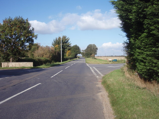
The Bourne–Morton Canal is an archaeological feature to the north-east of Bourne in Lincolnshire, England. In old maps and documents, it is known as the Old Ea. It was a 6.5 kilometer artificial waterway linking the dry ground at Bourne to either the coast near Pinchbeck or a navigable estuary in the area. There is now no visible trace. Excavation at Cross Drove in the 1990s suggests that the canal was around 2.6 metres deep at high tide, 6 metres wide at the base, and 10 to 12 metres wide at the surface. It appears to date back to Roman times, although very little is known. Despite the extensive agricultural reworking of the area, the route can still be traced with cropmarks, which are straight between Bourne and Morton Fen. The alignment can be traced on web-based satellite photography services between * * The line of modern Spalding Road from near Queens Bridge to the bottom of Meadow Drove follows the southern bank of the alignment, which can then be observed across the ... [...More Info...] [...Related Items...] OR: [Wikipedia] [Google] [Baidu] |
Bourne, Lincolnshire
Bourne is a market town and civil parish in the South Kesteven district of Lincolnshire, England. It lies on the eastern slopes of the limestone Kesteven Uplands and the western edge of the Fens, 11 miles (18 km) north-east of Stamford, 12 miles (19 km) west of Spalding and 17 miles (27 km) north of Peterborough. The population at the 2011 census was 14,456. A 2019 estimate put it at 16,780. History The Ancient Woodland of Bourne Woods is still extant, although much reduced. It originally formed part of the ancient Forest of Kesteven and is now managed by the Forestry Commission. The earliest documentary reference to ''Brunna'', meaning stream, is from a document of 960, and the town appeared in Domesday Book of 1086 as ''Brune''. Bourne Abbey, (charter 1138), formerly held and maintained land in Bourne and other parishes. In later times this was known as the manor of Bourne Abbots. Whether the canons knew that name is less clear. The estate was given by the founder of the ... [...More Info...] [...Related Items...] OR: [Wikipedia] [Google] [Baidu] |
Lincolnshire
Lincolnshire (abbreviated Lincs.) is a county in the East Midlands of England, with a long coastline on the North Sea to the east. It borders Norfolk to the south-east, Cambridgeshire to the south, Rutland to the south-west, Leicestershire and Nottinghamshire to the west, South Yorkshire to the north-west, and the East Riding of Yorkshire to the north. It also borders Northamptonshire in the south for just , England's shortest county boundary. The county town is Lincoln, where the county council is also based. The ceremonial county of Lincolnshire consists of the non-metropolitan county of Lincolnshire and the area covered by the unitary authorities of North Lincolnshire and North East Lincolnshire. Part of the ceremonial county is in the Yorkshire and the Humber region of England, and most is in the East Midlands region. The county is the second-largest of the English ceremonial counties and one that is predominantly agricultural in land use. The county is fourth-larg ... [...More Info...] [...Related Items...] OR: [Wikipedia] [Google] [Baidu] |
England
England is a country that is part of the United Kingdom. It shares land borders with Wales to its west and Scotland to its north. The Irish Sea lies northwest and the Celtic Sea to the southwest. It is separated from continental Europe by the North Sea to the east and the English Channel to the south. The country covers five-eighths of the island of Great Britain, which lies in the North Atlantic, and includes over 100 smaller islands, such as the Isles of Scilly and the Isle of Wight. The area now called England was first inhabited by modern humans during the Upper Paleolithic period, but takes its name from the Angles, a Germanic tribe deriving its name from the Anglia peninsula, who settled during the 5th and 6th centuries. England became a unified state in the 10th century and has had a significant cultural and legal impact on the wider world since the Age of Discovery, which began during the 15th century. The English language, the Anglican Church, and Engli ... [...More Info...] [...Related Items...] OR: [Wikipedia] [Google] [Baidu] |
Pinchbeck, Lincolnshire
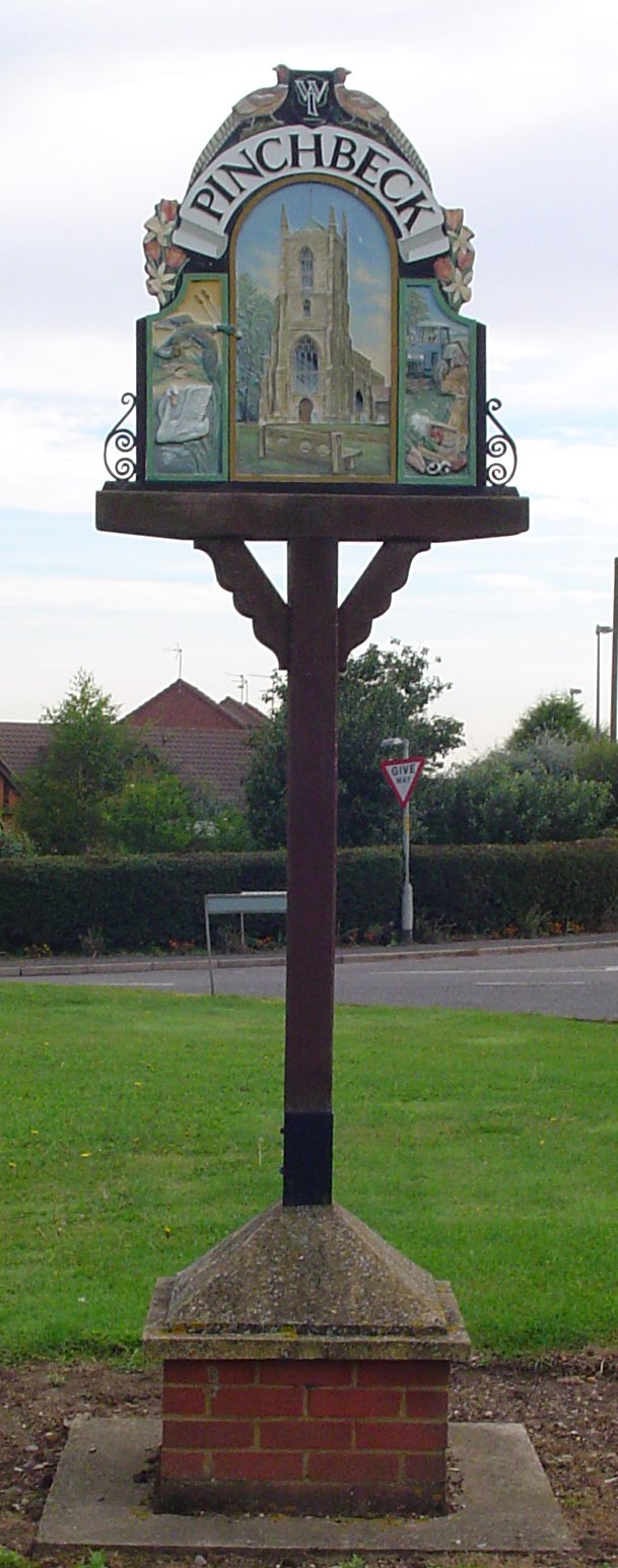
__NOTOC__ Pinchbeck is a village and civil parish in the South Holland district of Lincolnshire, England. The civil parish population was 5,153 at the 2001 census, 5,455 at the 2011 census and 6,011 at the 2021 census. It is situated north from the centre of Spalding. The name Pinchbeck is derived from either the Old English ''pinc+bece'' (Minnow Stream) or ''pinca+bece'' (Finch Ridge). A family long associated with the area took its name from the village, one member of which was Christopher Pinchbeck, a watchmaker responsible for the invention of the Pinchbeck alloy, which was once used for imitating gold in cheap jewellery. The Anglican village church is dedicated to Saint Mary, and is over 1,000 years old. It has a wide nave with mid-12th-century arches, and a 15th-century single hammer-beam roof supported by large gilded angels carrying the heraldic escutcheons of the Pinchbeck family. The chancel is by restorer Herbert Butterfield. Village schools are Pinchbeck Eas ... [...More Info...] [...Related Items...] OR: [Wikipedia] [Google] [Baidu] |
Cropmark
Cropmarks or crop marks are a means through which sub-surface archaeological, natural and recent features may be visible from the air or a vantage point on higher ground or a temporary platform. Such marks, along with parch marks, soil marks and frost marks, can reveal buried archaeological sites that are not visible from the ground. Description Crop marks are due to the principle of differential growth. One of the factors controlling the growth of vegetation is the condition of the soil. A buried stone wall, for example, will affect crop growth above it, as its presence channels water away from its area and occupies the space of the more fertile soil. Conversely, a buried ditch, with a fill containing more organic matter than the natural earth, provides much more conducive conditions and water will naturally collect there, nourishing the plants growing above. The differences in conditions will cause some plants to grow more strongly and therefore taller, and others less str ... [...More Info...] [...Related Items...] OR: [Wikipedia] [Google] [Baidu] |
Car Dyke
The Car Dyke was, and to a large extent still is, an long ditch which runs along the western edge of the Fens in eastern England. It is generally accepted as being of Roman invasion of Britain, Roman age and, for many centuries, to have been taken as marking the western edge of the Fens. There, the consensus begins to break down. Likely purpose In the eighteenth century, William Stukeley described it as a canal used for transporting goods and his idea is still promulgated: For example, excavations at Waterbeach in the 1990s by the archaeology unit of Cambridgeshire, Cambridgeshire County Council found what were seen as the remains of a Roman Britain, Roman-era boat and cargo of pottery from Horningsea. This stretch has been protected as a scheduled monument. Other archaeological investigations near Boston, Lincolnshire, Boston have given an indication of the dimensions: a navigable width of and a depth of were found during excavation. Other excavations have found coal from th ... [...More Info...] [...Related Items...] OR: [Wikipedia] [Google] [Baidu] |
King Street (Roman Road)
King Street is the name of a modern road on the line of a Roman road. It runs on a straight course in eastern England, between the City of Peterborough and South Kesteven in Lincolnshire. This English name has long been applied to the part which is still in use and which lies between Ailsworth Heath, in the south and Kate's Bridge, in the north. The old road continued to Bourne thence north-westwards to join Ermine Street south of Ancaster. This part of Ermine Street is called High Dike. In the south, King Street joined Ermine Street close to the River Nene, north of '' Durobrivae''. The whole is I. D. Margary's Roman road number 26. (Margary pp. 232–234) Route Archaeological work has revealed more of its length than is in use nowadays. Its course is regarded as having run from the boundary between Ailsworth and Castor, at the north-west corner of Normangate Field, just north of the River Nene (TL113980). This is where it left the Roman Ermine Street, north-west of ... [...More Info...] [...Related Items...] OR: [Wikipedia] [Google] [Baidu] |
Bourne Eau
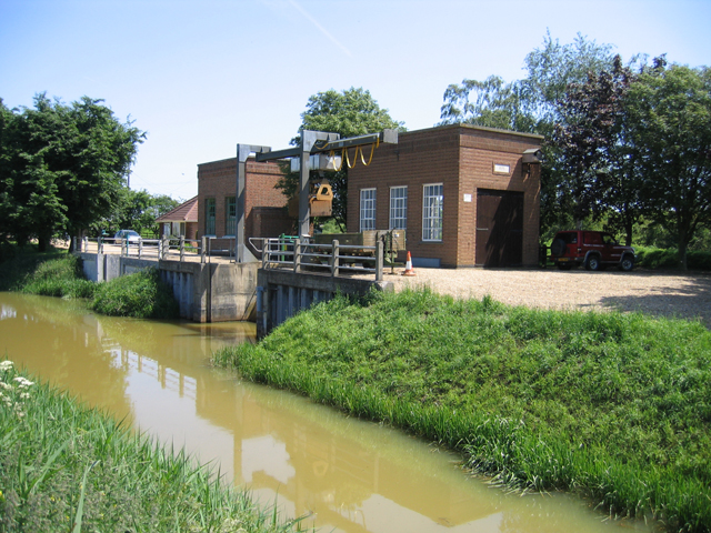
Bourne Eau is a short river which rises from an artesian spring in the town of Bourne in Lincolnshire, England, and flows in an easterly direction to join the River Glen at Tongue End. Within the town, it once powered three water mills, one of which is now a heritage centre. At Eastgate, it becomes much wider as it was navigable in the 18th and 19th centuries, and this was the location of the terminal basin. Below the town it is an embanked river, as its normal level is higher than that of the surrounding Fens. Navigation ceased in the 1860s and the river now forms an important part of the drainage system that enables the surrounding fen land to be used for agriculture. The artesian spring is fed by a limestone aquifer, which has been extensively used to supply drinking water to the locality and to Spalding. After a period of low rainfall in the late 1980s, the spring and hence the upper river dried up completely. A remediation project was implemented in 1992/93 to repair wild b ... [...More Info...] [...Related Items...] OR: [Wikipedia] [Google] [Baidu] |
Abbey Lawn
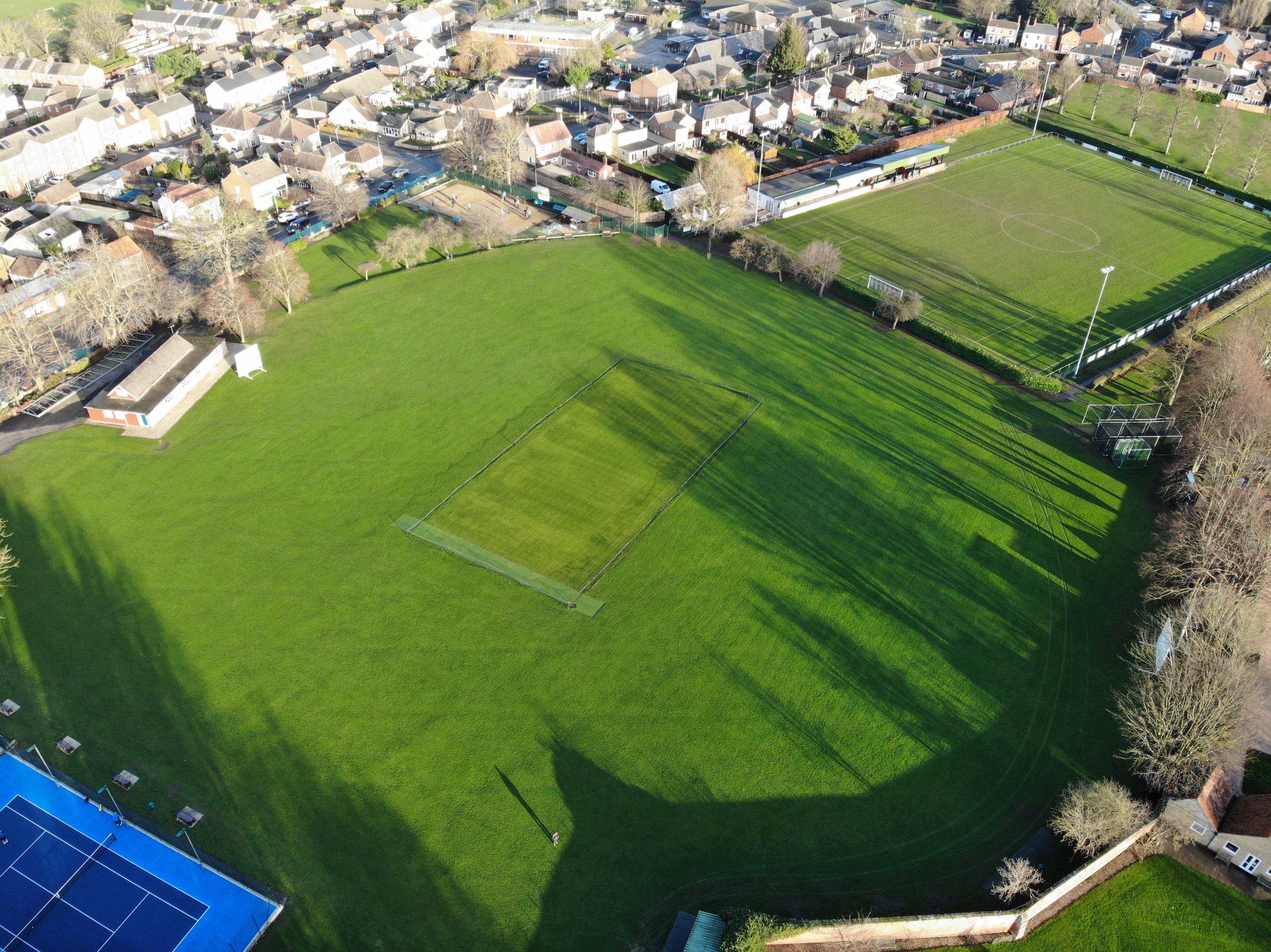
The Abbey Lawn in Bourne, Lincolnshire, England, is a centrally located space used as the principal recreation ground in the town. The cricket, tennis, bowls, pétanque, and football clubs play their home fixtures here. The hockey club practices here, though it now plays its fixtures on an all-weather pitch elsewhere. "''The Lawn''" is the site of the Bourne Cricket Club (Lincolnshire) and its associated facilities. Origins Though all or most of the land once formed part of the estate of the canons of Bourne Abbey and the swimming pool originated as one of their fish ponds, the present form of the Abbey Lawn and its name derive from the 18th century development of a sheep lawn as an adjunct of the house built by George Pochin, the then lord of the manor of Bourne Abbots. His house was on the site of the claustral buildings of the monastic abbey which had been dissolved in 1536. A sheep lawn was among the gentry, the equivalent of an aristocrat's deer park. (reproduced on ... [...More Info...] [...Related Items...] OR: [Wikipedia] [Google] [Baidu] |
Bourne Castle
Bourne Castle was a castle in the market town of Bourne in southern Lincolnshire (). A Norman castle was built by Baldwin FitzGilbert (son of Gilbert Fitz Richard, of the De Clare family). In medieval times there was motte and double bailey castle which formed an unusual concentric plan. The castle was destroyed after being used by Cromwell Oliver Cromwell (25 April 15993 September 1658) was an English politician and military officer who is widely regarded as one of the most important statesmen in English history. He came to prominence during the 1639 to 1651 Wars of the Three Ki ...'s troops in 1645 and a farmhouse was built on the site. Traces of the enclosed mound and inner and outer moats (forming part of the Bourne Eau) are all that now survive. The land the castle occupied is now a park, known as the Wellhead Park, owned by the Bourne United Charities and is open to the public. The first reference to Bourne Castle was in the 1179/80 Pipe Roll. There are other m ... [...More Info...] [...Related Items...] OR: [Wikipedia] [Google] [Baidu] |
Bourne Abbey
Bourne Abbey and the Parish Church of St. Peter and St. Paul is a scheduled Grade I church in Bourne, Lincolnshire, England. The building remains in parochial use, despite the 16th-century Dissolution, as the nave was used by the parish, probably from the time of the foundation of the abbey in 1138. Monastic origins While the Domesday Book of 1086 makes it clear that there was a church in Bourne in 1066, and there is a suggestion that there was an Anglo-Saxon abbey, as far as is firmly known, the abbey was founded as a canonry, by a charter granted in 1138, by Baldwin fitz Gilbert de Clare (with the consent of Roger his son and Adelina his wife). He was a member of a post-conquest Norman family, settled in Suffolk, which later made its mark in Wales and Ireland. Adelina was a great-granddaughter of Hereward the Wake, though the connection with the Wake family was not made until the generation after Baldwin and Adelina, when their daughter, Emma married Hugh Wake. The house was ... [...More Info...] [...Related Items...] OR: [Wikipedia] [Google] [Baidu] |
Bourne Railway Station
Bourne was a railway station serving the town of Bourne in Lincolnshire, which opened in 1860 and closed to passengers in 1959. History The station was on the Midland and Great Northern Joint Railway main line between the Midlands and the Norfolk Coast. It was finally closed in 1959 when the M&GN was closed. The line from Spalding and also the Sleaford branch as far as Billingborough remained in use for goods until 1964. The remaining station buildings were demolished in 2005 to make way for new residential development. The original station opened in 1860 as the terminus of the Bourn and Essendine Railway, which provided connecting services to the Great Northern main line, and the local Stamford and Essendine Railway. It was this company which took over the Red Hall rather than demolishing it. The line was operated by the GNR, and later owned by them. The line closed and was lifted in June 1951. The next development was the opening of the Bourne and Spalding Railway i ... [...More Info...] [...Related Items...] OR: [Wikipedia] [Google] [Baidu] |


.jpg)