|
Car Dyke
The Car Dyke was, and to a large extent still is, an long ditch which runs along the western edge of the Fens in eastern England. It is generally accepted as being of Roman age and, for many centuries, to have been taken as marking the western edge of the Fens. There, the consensus begins to break down. Likely purpose In the eighteenth century, William Stukeley described it as a canal used for transporting goods and his idea is still promulgated: For example, excavations at Waterbeach in the 1990s by the archaeology unit of Cambridgeshire County Council found what were seen as the remains of a Roman-era boat and cargo of pottery from Horningsea. This stretch has been protected as a scheduled monument. Other archaeological investigations near Boston have given an indication of the dimensions: a navigable width of and a depth of were found during excavation. Other excavations have found coal from the Midlands in use at a cluster of Roman-era coal-burning forges sited betwee ... [...More Info...] [...Related Items...] OR: [Wikipedia] [Google] [Baidu] |
Soke Of Peterborough
The Soke of Peterborough is a historic area of England associated with the City and Diocese of Peterborough, but considered part of Northamptonshire. The Soke was also described as the Liberty of Peterborough, or Nassaburgh hundred, and comprised, besides Peterborough, about thirty parishes. The area forms much of the present City of Peterborough unitary authority area in the post-1974 ceremonial county of Cambridgeshire. The Church of England dioceses of Peterborough and Ely still, however, follow the boundary of the Soke, with only the part of the city that is north of the River Nene lying within the Diocese of Peterborough, while Thorney and urban areas south of the Nene, including Stanground and Fletton, are in the Diocese of Ely. The term soke refers to a general legal term in medieval England referring to various concepts, including a jurisdiction of land or rights to hold a court or receive fines. History In the Saxon period, the lord of the hundred had the p ... [...More Info...] [...Related Items...] OR: [Wikipedia] [Google] [Baidu] |
Aerial Photography
Aerial photography (or airborne imagery) is the taking of photographs from an aircraft or other airborne platforms. When taking motion pictures, it is also known as aerial videography. Platforms for aerial photography include fixed-wing aircraft, helicopters, unmanned aerial vehicles (UAVs or "drones"), balloons, blimps and dirigibles, rockets, pigeons, kites, or using action cameras while skydiving or wingsuiting. Handheld cameras may be manually operated by the photographer, while mounted cameras are usually remotely operated or triggered automatically. Aerial photography typically refers specifically to bird's-eye view images that focus on landscapes and surface objects, and should not be confused with air-to-air photography, where one or more aircraft are used as chase planes that "chase" and photograph other aircraft in flight. Elevated photography can also produce bird's-eye images closely resembling aerial photography (despite not actually being aerial shots) ... [...More Info...] [...Related Items...] OR: [Wikipedia] [Google] [Baidu] |
Phosphate
In chemistry, a phosphate is an anion, salt, functional group or ester derived from a phosphoric acid. It most commonly means orthophosphate, a derivative of orthophosphoric acid . The phosphate or orthophosphate ion is derived from phosphoric acid by the removal of three protons . Removal of one or two protons gives the dihydrogen phosphate ion and the hydrogen phosphate ion ion, respectively. These names are also used for salts of those anions, such as ammonium dihydrogen phosphate and trisodium phosphate. File:3-phosphoric-acid-3D-balls.png, Phosphoricacid File:2-dihydrogenphosphate-3D-balls.png, Dihydrogenphosphate File:1-hydrogenphosphate-3D-balls.png, Hydrogenphosphate File:0-phosphate-3D-balls.png, Phosphate In organic chemistry, phosphate or orthophosphate is an organophosphate, an ester of orthophosphoric acid of the form where one or more hydrogen atoms are replaced by organic groups. An example is trimethyl phosphate, . The term also refers to the ... [...More Info...] [...Related Items...] OR: [Wikipedia] [Google] [Baidu] |
Strip Mining
Surface mining, including strip mining, open-pit mining and mountaintop removal mining, is a broad category of mining in which soil and rock overlying the mineral deposit (the overburden) are removed, in contrast to underground mining, in which the overlying rock is left in place, and the mineral is removed through shafts or tunnels. In North America, where the majority of surface coal mining occurs, this method began to be used in the mid-16th century and is practiced throughout the world in the mining of many different minerals. In North America, surface mining gained popularity throughout the 20th century, and surface mines now produce most of the coal mined in the United States. In most forms of surface mining, heavy equipment, such as earthmovers, first remove the overburden. Next, large machines, such as dragline excavators or bucket-wheel excavators, extract the mineral. The pros of surface mining are that it has a lower financial cost and is a lot safer than undergr ... [...More Info...] [...Related Items...] OR: [Wikipedia] [Google] [Baidu] |
Hadrian
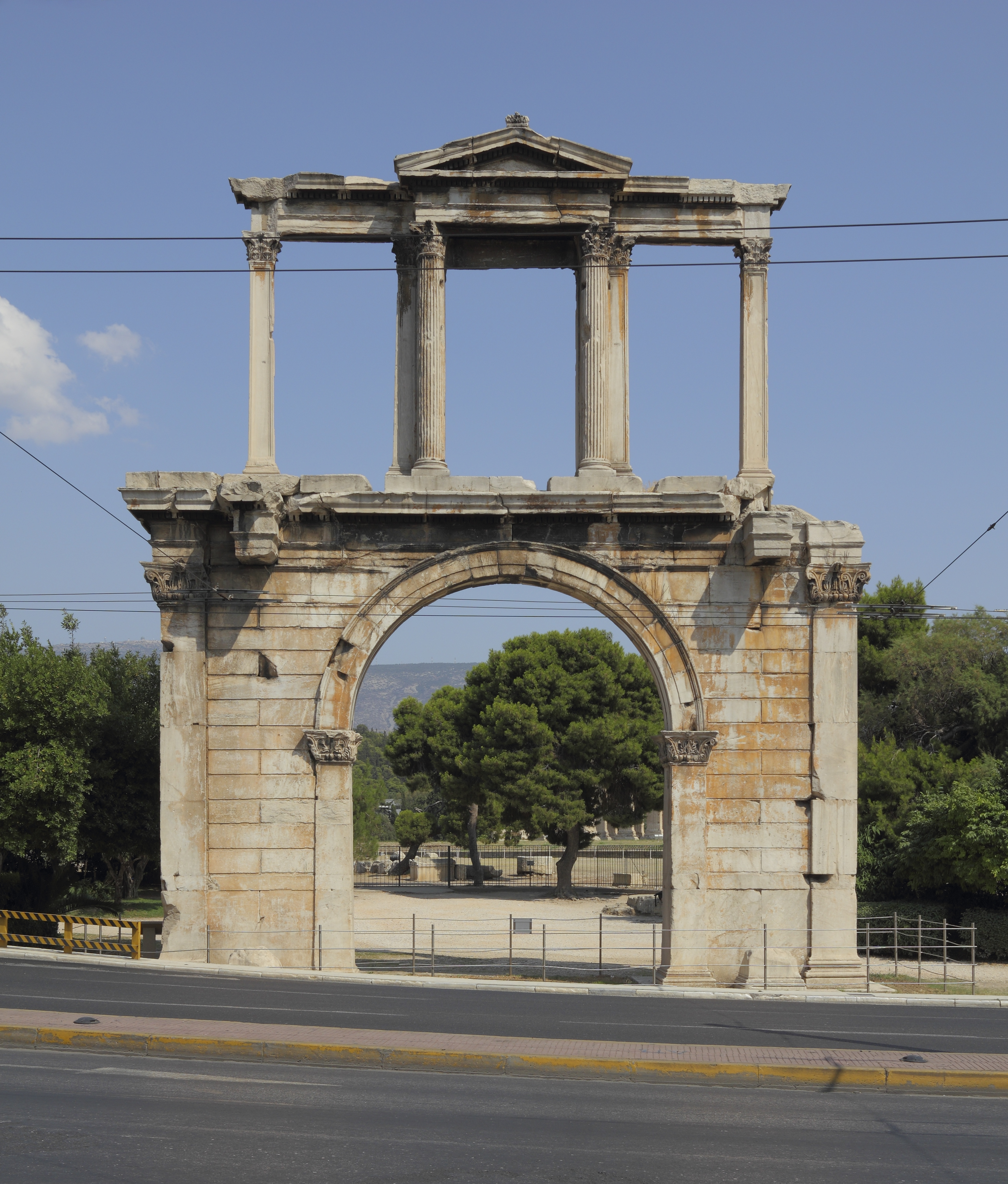
Hadrian (; la, Caesar Trâiānus Hadriānus ; 24 January 76 – 10 July 138) was Roman emperor from 117 to 138. He was born in Italica (close to modern Santiponce in Spain), a Roman '' municipium'' founded by Italic settlers in Hispania Baetica and he came from a branch of the gens Aelia that originated in the Picenean town of Hadria, the ''Aeli Hadriani''. His father was of senatorial rank and was a first cousin of Emperor Trajan. Hadrian married Trajan's grand-niece Vibia Sabina early in his career before Trajan became emperor and possibly at the behest of Trajan's wife Pompeia Plotina. Plotina and Trajan's close friend and adviser Lucius Licinius Sura were well disposed towards Hadrian. When Trajan died, his widow claimed that he had nominated Hadrian as emperor immediately before his death. Rome's military and Senate approved Hadrian's succession, but four leading senators were unlawfully put to death soon after. They had opposed Hadrian or seemed to threat ... [...More Info...] [...Related Items...] OR: [Wikipedia] [Google] [Baidu] |
Agriculture
Agriculture or farming is the practice of cultivating plants and livestock. Agriculture was the key development in the rise of sedentary human civilization, whereby farming of domesticated species created food surpluses that enabled people to live in cities. The history of agriculture began thousands of years ago. After gathering wild grains beginning at least 105,000 years ago, nascent farmers began to plant them around 11,500 years ago. Sheep, goats, pigs and cattle were domesticated over 10,000 years ago. Plants were independently cultivated in at least 11 regions of the world. Industrial agriculture based on large-scale monoculture in the twentieth century came to dominate agricultural output, though about 2 billion people still depended on subsistence agriculture. The major agricultural products can be broadly grouped into foods, fibers, fuels, and raw materials (such as rubber). Food classes include cereals ( grains), vegetables, fruits, cooking oils, m ... [...More Info...] [...Related Items...] OR: [Wikipedia] [Google] [Baidu] |
Lincolnshire
Lincolnshire (abbreviated Lincs.) is a county in the East Midlands of England, with a long coastline on the North Sea to the east. It borders Norfolk to the south-east, Cambridgeshire to the south, Rutland to the south-west, Leicestershire and Nottinghamshire to the west, South Yorkshire to the north-west, and the East Riding of Yorkshire to the north. It also borders Northamptonshire in the south for just , England's shortest county boundary. The county town is Lincoln, where the county council is also based. The ceremonial county of Lincolnshire consists of the non-metropolitan county of Lincolnshire and the area covered by the unitary authorities of North Lincolnshire and North East Lincolnshire. Part of the ceremonial county is in the Yorkshire and the Humber region of England, and most is in the East Midlands region. The county is the second-largest of the English ceremonial counties and one that is predominantly agricultural in land use. The county is fou ... [...More Info...] [...Related Items...] OR: [Wikipedia] [Google] [Baidu] |
Catchwater Drain
A catchwater drain is a land drain, a ditch cut across the fall of the land, typically just above the level of low-lying, level ground such as The Fens of eastern England, where some land, tens of kilometres from the sea is at about sea level. Its purpose is to gather water draining from the higher, sloping ground before it reaches the flat land whence it would be difficult or expensive to remove. The water may be on the surface, in streams or in the ground before it is gathered, perhaps to be led away across the lowland by an embanked river. There are other circumstances in which a catchwater may be employed. A hill-top or hillside may be used to trap rainwater which is then gathered by the catchwater and fed to a reservoir. From this a house, village or town may be supplied. Catchwater may be used to slow down runoff before running on impervious surfaces to reduce runoff. See also *Nullah A nullah or nala (Hindustani or "nallah" in Punjabi) is an 'arm of the sea', stre ... [...More Info...] [...Related Items...] OR: [Wikipedia] [Google] [Baidu] |
Geograph 524787
Geograph Britain and Ireland is a web-based project, begun in March 2005, to create a freely accessible archive of geographically located photographs of Great Britain and Ireland. Photographs in the Geograph collection are chosen to illustrate significant or typical features of each 1 km × 1 km (100 ha) grid square in the Ordnance Survey National Grid and the Irish national grid reference system.Hawgood D. Geograph or supplemental (June 2007) (accessed 13 March 2008) There are 332,216 such grid squares containing at least some land or permanent structure (at low tide), of which 280,037 have Geographs. [...More Info...] [...Related Items...] OR: [Wikipedia] [Google] [Baidu] |
Cottenham
Cottenham is a village in Cambridgeshire, England. Cottenham is one of the larger villages surrounding the city of Cambridge, located around five miles north of the city. The population of the civil parish at the 2011 Census was 6095. Cottenham is one of a number of villages that make up the historical Fen Edge region in between Cambridge and Ely, which were originally settlements on the shore of the marshes close to the city of Cambridge, then an inland port. History Much of Cottenham parish lies on a lower greensand ridge around 25 feet (8m) above sea level, which until the 17th century draining of the Fens was the only dry land in between Cambridge and the Isle of Ely around 12 miles to the north-east of the village. The southern side of the parish lies on raised fertile red loam, and the original village settlement is believed to have started as a Roman British island community taking advantage of fertile pasture at the edge of the marshland in between Cambridge and Ely. Th ... [...More Info...] [...Related Items...] OR: [Wikipedia] [Google] [Baidu] |
Grahame Clark
Sir John Grahame Douglas Clark (28 July 1907 – 12 September 1995), who often published as J. G. D. Clark, was a British archaeologist who specialised in the study of Mesolithic Europe and palaeoeconomics. He spent most of his career working at the University of Cambridge, where he was appointed Disney Professor of Archaeology from 1952 to 1974 and Master of Peterhouse from 1973 to 1980. Born in Kent to an upper-middle-class family, Clark developed an early interest in archaeology through his collection of prehistoric flint tools. After an education at Marlborough College, he proceeded to Peterhouse in the University of Cambridge, there attaining both his undergraduate and then doctoral degree. For the latter, he produced a thesis and published monograph focusing on Mesolithic Britain. In 1932 he co-founded the Fenland Research Committee, through which he excavated several prehistoric sites in the East Anglian Fens. He was also a senior member of the Prehistoric Society ... [...More Info...] [...Related Items...] OR: [Wikipedia] [Google] [Baidu] |


