|
Borra Caves
The Borra Caves (also called ''Borra Guhalu'') are located on the East Coast of India, in the Ananthagiri hills of the Araku Valley (with hill ranges' elevation varying from ) of the Alluri Sitharama Raju district in Andhra Pradesh. The caves, one of the largest in the country, at an elevation of about , distinctly exhibit a variety of speleothems ranging in size and irregularly shaped stalactites and stalagmites. The caves are basically karstic limestone structures extending to a depth of , and are considered the deepest caves in India. :File:Borra Caves Info board.JPGHistory The native name for the caves is ''Borra Guhalu''. Where ''Borra'' means abdomen in Telugu language and ''guhalu'' means caves in Telugu language Etymology The name Borra'' came from an Desia Odia word 'Bora', which means "a hole", as the district shares its Long border line with Odisha, hence the name comes. Legend On the discovery of the caves, there are several legends, which the tribals (Jatapu, Porj ... [...More Info...] [...Related Items...] OR: [Wikipedia] [Google] [Baidu] |
Vizianagaram District
Vizianagaram district is one of the six districts in the Uttarandhra region of the Indian state of Andhra Pradesh with its headquarters located at Vizianagaram. The district was once the part of ancient Kalinga.Saripilli Dibbilingeswara temple, Jayathi Mallikarjuna Temple are the finest examples of ancient Eastern Ganga Dynasty built monuments in the district.The district is bounded on the east by the district of Srikakulam, north by Parvathipuram Manyam south by Visakhapatnam, Anakapalli, southeast by the Bay of Bengal, and west by Alluri Sitharama Raju district. It was formed on 1 June 1979, with some parts carved from the neighbouring districts of Srikakulam and Visakhapatnam. The district is named after the princely state of Vizianagaram (''Vijaya'' means victory and ''Nagaram'' means city in Telugu). In 2011, it was the least populous district in Andhra Pradesh. Vizianagaram district was formed on 1 June 1979, as per G.O.Ms.No.700/Revenue (U) Department, dated 15 May ... [...More Info...] [...Related Items...] OR: [Wikipedia] [Google] [Baidu] |
Odia Language
Odia (, ISO: , ; formerly rendered Oriya ) is an Indo-Aryan language spoken in the Indian state of Odisha. It is the official language in Odisha (formerly rendered Orissa), where native speakers make up 82% of the population, and it is also spoken in parts of West Bengal, Jharkhand, Andhra Pradesh and Chhattisgarh. Odia is one of the many official languages of India; it is the official language of Odisha and the second official language of Jharkhand. The language is also spoken by a sizeable population of 700,000 people in Chhattisgarh. Odia is the sixth Indian language to be designated a classical language, on the basis of having a long literary history and not having borrowed extensively from other languages. The earliest known inscription in Odia dates back to the 10th century CE. History Odia is an Eastern Indo-Aryan language belonging to the Indo-Aryan language family. It descends from Odra Prakrit, which evolved from Magadhi Prakrit, which was spoken in east India ... [...More Info...] [...Related Items...] OR: [Wikipedia] [Google] [Baidu] |
Bheemunipatnam
Bheemunipatnam (also known as Bheemili), is a suburb of Visakhapatnam, India. The town was named after Bhima, a character in the Hindu epic Mahabharata. It formerly administered under the Bheemunipatnam municipality, but merged into GVMC in 2017. It is currently under the administration of Bheemunipatnam revenue division and the headquarters is located at Bheemunipatnam. Geography Bheemunipatnam is located about 40 km from Visakhapatnam Airport, about 31 km from Visakhapatnam railway station and 29 km from Visakhapatnam city central bus station. It lies to the north of Visakhapatnam City and is loosely bordered by Rushikonda to the south and Bay of Bengal to the east, Madhurawada to the west, Bhogapuram to the north. History Buddhism Historical evidences of Buddhist Culture have been noticed at Bheemunipatnam dating back to 3rd century BCE on the hillock Pavurallakonda (also known as Narsimhaswami Konda locally) in the town. Buddhist remains were found d ... [...More Info...] [...Related Items...] OR: [Wikipedia] [Google] [Baidu] |
Bay Of Bengal
The Bay of Bengal is the northeastern part of the Indian Ocean, bounded on the west and northwest by India, on the north by Bangladesh, and on the east by Myanmar and the Andaman and Nicobar Islands of India. Its southern limit is a line between Sangaman Kanda, Sri Lanka, and the north westernmost point of Sumatra, Indonesia. It is the largest water region called a bay in the world. There are countries dependent on the Bay of Bengal in South Asia and Southeast Asia. During the existence of British India, it was named as the Bay of Bengal after the historic Bengal region. At the time, the Port of Kolkata served as the gateway to the Crown rule in India. Cox's Bazar, the longest sea beach in the world and Sundarbans, the largest mangrove forest and the natural habitat of the Bengal tiger, are located along the bay. The Bay of Bengal occupies an area of . A number of large rivers flow into the Bay of Bengal: the Ganges– Hooghly, the Padma, the Brahmaputra–Yamuna, the Barak� ... [...More Info...] [...Related Items...] OR: [Wikipedia] [Google] [Baidu] |
Visakhapatnam
, image_alt = , image_caption = From top, left to right: Visakhapatnam aerial view, Vizag seaport, Simhachalam Temple, Aerial view of Rushikonda Beach, Beach road, Novotel, Novotel Visakhapatnam, INS Kursura (S20), INS Kursura submarine museum, Vizag skyline, Kambalakonda wildlife sanctuary , etymology = , nickname = The City of DestinyThe Jewel of the East Coast , image_map = , map_caption = , pushpin_map = India Visakhapatnam#India Andhra Pradesh#India#Asia#Earth , pushpin_label_position = left , pushpin_map_alt = , pushpin_map_caption = , coordinates = {{coord, 17, 42, 15, N, 83, 17, 52, E, display=inline,title , subdivision_type = Country , subdivision_name = {{flag, India , subdivision_type1 = States and union territories of India, State , subdivision_name1 = Andhra Pradesh , subdivision_type2 = ... [...More Info...] [...Related Items...] OR: [Wikipedia] [Google] [Baidu] |
Vizianagram
Vizianagaram is a city and the headquarters of Vizianagaram district in the Indian state of Andhra Pradesh. It is central Eastern Ghats, about west of the Bay of Bengal and north-northeast of Visakhapatnam. The city has a population of 228,025 and was established as the capital of Vizianagaram estate by Raja Vijayaram Raj of Pusapati dynasty. The rulers had a notable role in the history of the region in 18th century and were patrons of education and arts. History Vizianagaram was ruled by different Hindu emperors of Kalinga and it was an integral part of Kalinga. The area including Srikakulam in the north was under the domain of Eastern Chalukyas of Vengi during the rule of Kubja Vishnuvardhana (624–641) for short period of time. During this rule the Vengi kingdom had expanded from Srikakulam in the north to Nellore in the south. They patronised Telugu. The area was under the rule of Krishna Deva Raya of Vijayanagara Empire too. After a brief rule from Golconda, t ... [...More Info...] [...Related Items...] OR: [Wikipedia] [Google] [Baidu] |
Gosthani River
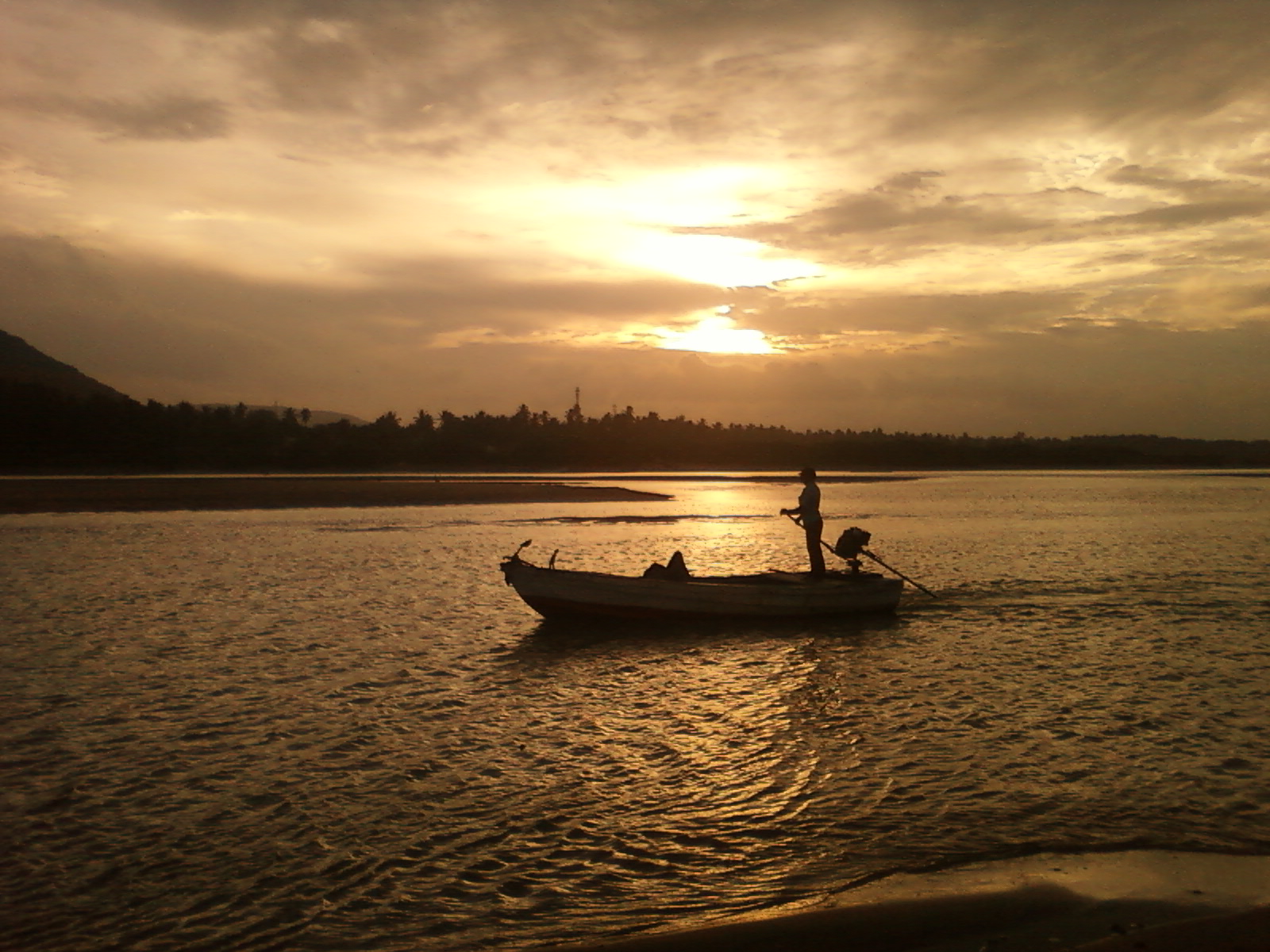
The Gosthani rises in the Ananthagiri Hills of the Eastern Ghats and flows through the Borra Caves which lie near its source. It is the largest river flowing through Visakhapatnam city. It flows for 120 km before joining the Bay of Bengal through an estuary near Bheemunipatnam. The river basin drains the two coastal districts of Vizianagaram and Visakhapatnam. The basin exhibits a subdendritic and dendritic pattern of drainage. The Gosthani's is a minor river basin with a total drainage area of less than 2000 km2. Much of the basin is covered by khondalite group of gneissic rocks. About 3% of the total area of the Visakhapatnam district is under the Gosthani basin. The river is rainfed, receiving an average rainfall of 110 cm most of which comes from the south-west monsoon. There are several red sand hills near Bheemunipatnam, where the Gosthani joins the Bay of Bengal, which are reminiscent of the Chambal ravines. These are thought to have been formed six mille ... [...More Info...] [...Related Items...] OR: [Wikipedia] [Google] [Baidu] |
Kamadhenu
Kamadhenu ( sa, कामधेनु, , ), also known as Surabhi (, or , ), is a divine bovine-goddess described in Hinduism as the mother of all cows. She is a miraculous cow of plenty who provides her owner whatever he desires and is often portrayed as the mother of other cattle. In iconography, she is generally depicted as a white cow with a female head and breasts, the wings of a bird, and the tail of a peafowl or as a white cow containing various deities within her body. Kamadhenu is not worshipped independently as a goddess. Rather, she is honored by the Cattle in religion#In Hinduism, Hindu veneration of cows, who are regarded her earthly embodiments. Hindu scriptures provide diverse accounts of the birth of Kamadhenu. While some narrate that she emerged from Samudra manthan, the churning of the cosmic ocean, others describe her as the daughter of the creator god Daksha, and as the wife of the sage Kashyapa. Still other scriptures narrate that Kamadhenu was in the posse ... [...More Info...] [...Related Items...] OR: [Wikipedia] [Google] [Baidu] |
Sanskrit
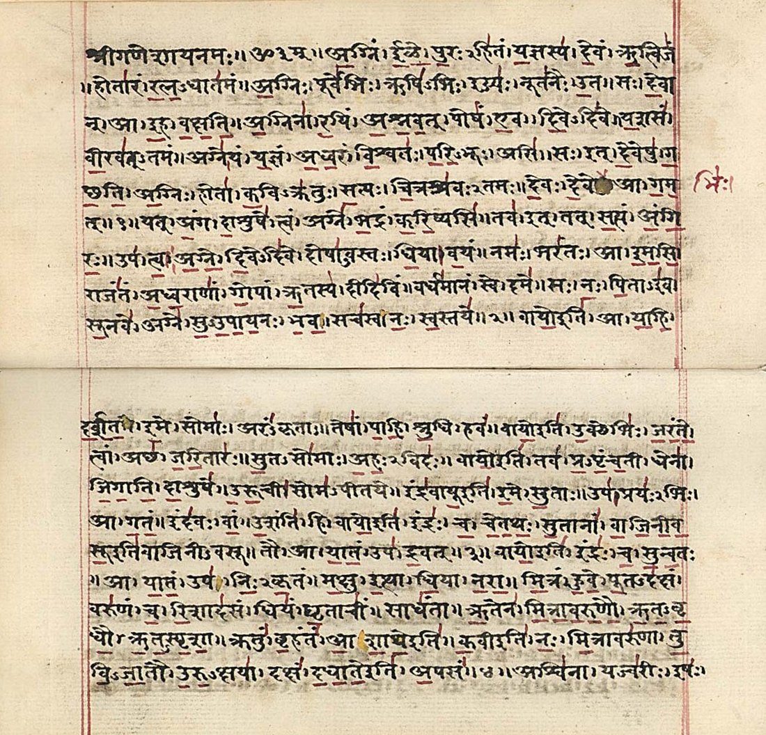
Sanskrit (; attributively , ; nominally , , ) is a classical language belonging to the Indo-Aryan branch of the Indo-European languages. It arose in South Asia after its predecessor languages had diffused there from the northwest in the late Bronze Age. Sanskrit is the sacred language of Hinduism, the language of classical Hindu philosophy, and of historical texts of Buddhism and Jainism. It was a link language in ancient and medieval South Asia, and upon transmission of Hindu and Buddhist culture to Southeast Asia, East Asia and Central Asia in the early medieval era, it became a language of religion and high culture, and of the political elites in some of these regions. As a result, Sanskrit had a lasting impact on the languages of South Asia, Southeast Asia and East Asia, especially in their formal and learned vocabularies. Sanskrit generally connotes several Old Indo-Aryan language varieties. The most archaic of these is the Vedic Sanskrit found in the Rig Veda, a colle ... [...More Info...] [...Related Items...] OR: [Wikipedia] [Google] [Baidu] |
Hindu
Hindus (; ) are people who religiously adhere to Hinduism.Jeffery D. Long (2007), A Vision for Hinduism, IB Tauris, , pages 35–37 Historically, the term has also been used as a geographical, cultural, and later religious identifier for people living in the Indian subcontinent. The term ''"Hindu"'' traces back to Old Persian which derived these names from the Sanskrit name ''Sindhu'' (सिन्धु ), referring to the river Indus. The Greek cognates of the same terms are "''Indus''" (for the river) and "''India''" (for the land of the river). The term "''Hindu''" also implied a geographic, ethnic or cultural identifier for people living in the Indian subcontinent around or beyond the Sindhu (Indus) River. By the 16th century CE, the term began to refer to residents of the subcontinent who were not Turkic or Muslims. Hindoo is an archaic spelling variant, whose use today is considered derogatory. The historical development of Hindu self-identity within the local In ... [...More Info...] [...Related Items...] OR: [Wikipedia] [Google] [Baidu] |
Borra Caves Lingam
The Borra Caves (also called ''Borra Guhalu'') are located on the East Coast of India, in the Ananthagiri hills of the Araku Valley (with hill ranges' elevation varying from ) of the Alluri Sitharama Raju district in Andhra Pradesh. The caves, one of the largest in the country, at an elevation of about , distinctly exhibit a variety of speleothems ranging in size and irregularly shaped stalactites and stalagmites. The caves are basically karstic limestone structures extending to a depth of , and are considered the deepest caves in India. :File:Borra Caves Info board.JPGHistory The native name for the caves is ''Borra Guhalu''. Where ''Borra'' means abdomen in Telugu language and ''guhalu'' means caves in Telugu language Etymology The name Borra'' came from an Desia Odia word 'Bora', which means "a hole", as the district shares its Long border line with Odisha, hence the name comes. Legend On the discovery of the caves, there are several legends, which the tribals (Jatapu, P ... [...More Info...] [...Related Items...] OR: [Wikipedia] [Google] [Baidu] |
Shiva
Shiva (; sa, शिव, lit=The Auspicious One, Śiva ), also known as Mahadeva (; ɐɦaːd̪eːʋɐ, or Hara, is one of the principal deities of Hinduism. He is the Supreme Being in Shaivism, one of the major traditions within Hinduism. Shiva is known as "The Destroyer" within the Trimurti, the Hindu trinity which also includes Brahma and Vishnu. In the Shaivite tradition, Shiva is the Supreme Lord who creates, protects and transforms the universe. In the goddess-oriented Shakta tradition, the Supreme Goddess ( Devi) is regarded as the energy and creative power (Shakti) and the equal complementary partner of Shiva. Shiva is one of the five equivalent deities in Panchayatana puja of the Smarta tradition of Hinduism. Shiva has many aspects, benevolent as well as fearsome. In benevolent aspects, he is depicted as an omniscient Yogi who lives an ascetic life on Mount Kailash as well as a householder with his wife Parvati and his three children, Ganesha, Kartikeya and A ... [...More Info...] [...Related Items...] OR: [Wikipedia] [Google] [Baidu] |


.jpg)

