|
A456
Known as the Hagley Road in Birmingham, the A456 is a main road in England running between Central Birmingham and Woofferton, Shropshire, south of Ludlow. Some sections of the route, for example Edgbaston near Bearwood, are also the route of the Elan Aqueduct which carries Birmingham's water supply from the Elan Valley. Route Birmingham - Kidderminster The A456 now starts in the underpass at the end of Broad Street ''Five Ways'' junction on the Middleway (A4540) in Birmingham. It previously started at the Paradise Circus junction with the former Inner Ring Road (A4400) but originally ran along New Street in the city centre. Heading West through the Birmingham suburbs of Edgbaston and Quinton using a mixture of dual carriageway and single carriageway roads, though maintaining at least 2 lanes in each direction. Just beyond Quinton, the A458 exits towards Halesowen, while the A456 bypasses the town to the South, meeting the M5 at Junction 3. This route was completed in the 1 ... [...More Info...] [...Related Items...] OR: [Wikipedia] [Google] [Baidu] |
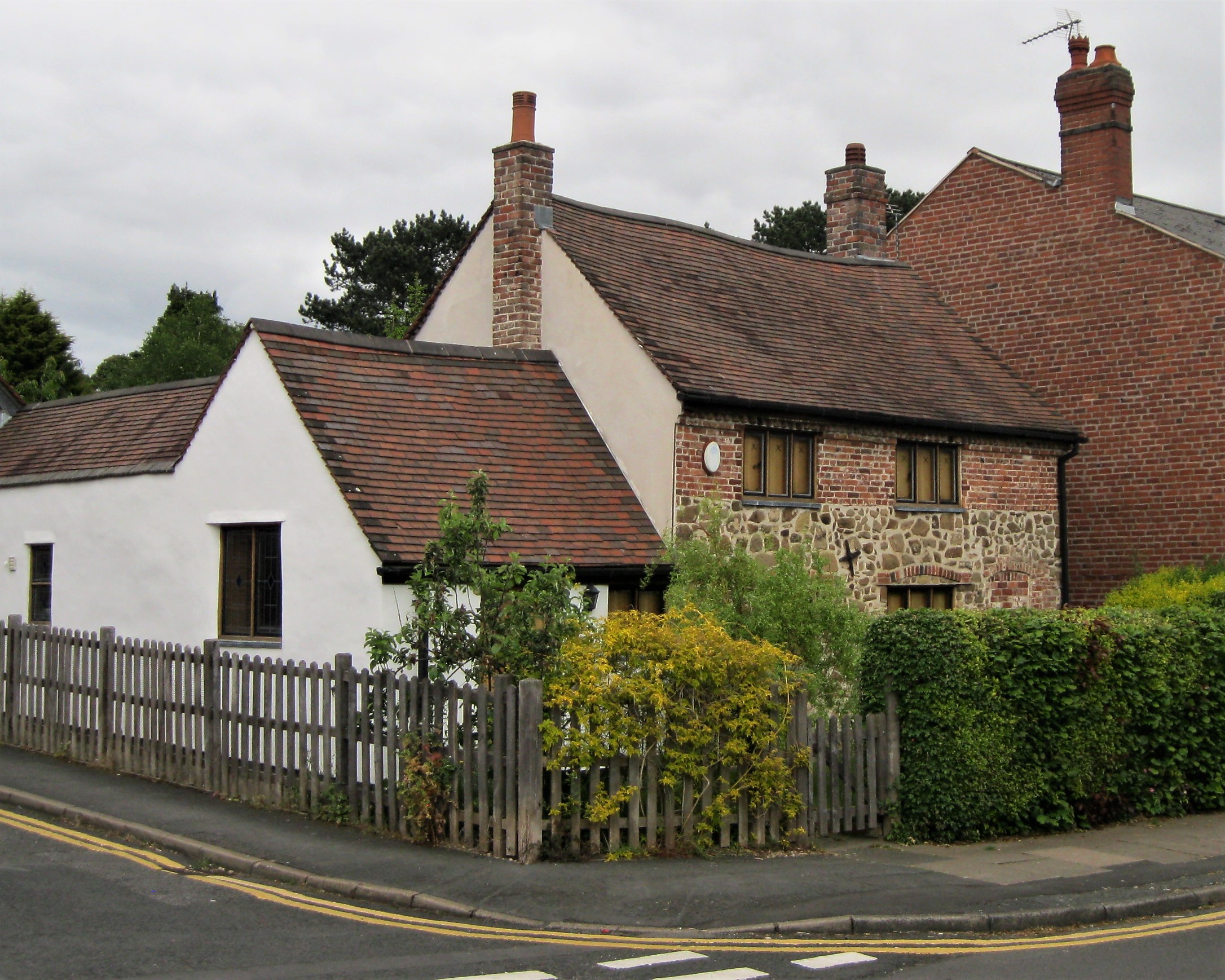
Quinton, Birmingham
Quinton, is a residential area and ward of Birmingham, England just under west of the city centre. Formerly part of Halesowen parish, Quinton became part of Birmingham in 1909. Quinton was a village and the surrounding area was farmland until the 1930s when the first housing estates were developed. Most of the farmland had been built on by 1980 but some countryside remains in the form of Woodgate Valley Country Park. Along with Bartley Green, Harborne and Edgbaston, Quinton is a part of the Birmingham Edgbaston constituency. History The name of Quinton is thought to derive from ''Cweningtun'', meaning the queen's settlement. Quinton was formerly part of the ancient parish of Halesowen and was largely owned in medieval times by the wealthy abbey at Lapal near Halesowen. In the 1840s, when called ''The Quinton'', mention was made of two small coal mines in the area and that the inhabitants were employed in nail manufacturing. The parish was generally known as ''Ridgacre'' un ... [...More Info...] [...Related Items...] OR: [Wikipedia] [Google] [Baidu] |
A4117 Road
The A4117 is a single-carriageway 'A road' in western England, largely in Shropshire, which passes through part of the Wyre Forest and Clee Hills. Route It branches from the A456 west of Bewdley, at a place called Fingerpost. Only the first of the route is in Worcestershire,Google maps as immediately after passing through the small village of Far Forest it passes over the Lem Brook and into Shropshire. Heading in a roughly westerly direction, it passes through Cleobury Mortimer, Hopton Wafers and Clee Hill Village. The road's destination is the town of Ludlow,Ordnance Survey mapping where (since 1979) it ends at the Rocks Green roundabout on the A49 bypass. The route is long. Notable bridges are where the road crosses the River Rea on the eastern edge of Cleobury Mortimer, the Hopton Brook at Hopton Wafers, and also the Ledwyche Brook at Henley near Ludlow. B road junctions The A4117 has no 'A road' junctions other than at its two ends. It has five junctions with 'B road ... [...More Info...] [...Related Items...] OR: [Wikipedia] [Google] [Baidu] |
A4540 Road
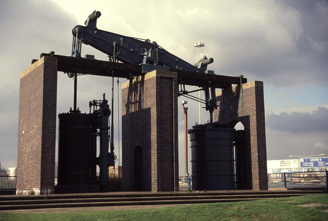
The A4540 is a ring road in Birmingham, England, also known as the Middle Ring Road, or the Middleway. It runs around the centre ( St Philip's Cathedral) of the city at a distance of approximately . Birmingham City Centre is the area within this ring road. The ring road was planned and designed by Herbert Manzoni. It is now simply known as the Ring Road due to the removal of the old Inner Ring Road. The traffic island at Dartmouth Circus houses a preserved Boulton and Watt steam engine, the Grazebrook beam engine. The Middleway forms the boundary to Birmingham Clean Air Zone. Plans to make The Middleway a red route were proposed as early as 2008 but dropped in 2021. Route The A4540 covers the following route: – * Dartmouth Circus (Roundabout with Aston Expressway and A38 Lichfield Rd) (Pedestrian subway through roundabout) * Dartmouth Middleway * Ashted Circus (junction with A47—with pedestrian subway island) * Lawley Middleway (with Curzon Circus in the middle) * ... [...More Info...] [...Related Items...] OR: [Wikipedia] [Google] [Baidu] |
M5 Motorway
The M5 is a motorway in England linking the Midlands with the South West England, South West. It runs from junction 8 of the M6 motorway, M6 at West Bromwich near Birmingham to Exeter in Devon. Heading south-west, the M5 runs east of West Bromwich and west of Birmingham through Sandwell Valley. It continues past Bromsgrove (and from Birmingham and Bromsgrove is part of the Birmingham Motorway Box), Droitwich Spa, Worcester, England, Worcester, Tewkesbury, Cheltenham, Gloucester, Bristol, Clevedon, Weston-super-Mare, Bridgwater, Taunton, terminating at junction 31 for Exeter. Congestion on the section south of the M4 motorway, M4 is common during the summer holidays, on Friday afternoons and bank holidays. Route The M5 quite closely follows the route of the A38 road. The two deviate slightly around Bristol and the area south of Bristol from junctions 16 to the Sedgemoor services north of junction 22. The A38 goes straight through the centre of Bristol and passes by Bristol Airp ... [...More Info...] [...Related Items...] OR: [Wikipedia] [Google] [Baidu] |
A443 Road
List of A roads in zone 4 in Great Britain Great Britain is an island in the North Atlantic Ocean off the northwest coast of continental Europe. With an area of , it is the largest of the British Isles, the largest European island and the ninth-largest island in the world. It is ... starting north of the A4 and south/west of the A5 (roads beginning with 4). __TOC__ Single- and double-digit roads Triple-digit roads Only roads that have individual articles have been linked in the "Road" column below. Four-digit roads (40xx) Four-digit roads (41xx) Four-digit roads (42xx and higher) References {{UK road lists 4 4 ... [...More Info...] [...Related Items...] OR: [Wikipedia] [Google] [Baidu] |
Kidderminster
Kidderminster is a large market and historic minster town and civil parish in Worcestershire, England, south-west of Birmingham and north of Worcester. Located north of the River Stour and east of the River Severn, in the 2011 census, it had a population of 55,530. The town is twinned with Husum, Germany. Situated in the far north of Worcestershire (and with its northern suburbs only 3 and 4 miles from the Staffordshire and Shropshire borders respectively), the town is the main administration centre for the wider Wyre Forest District, which includes the towns of Stourport-on-Severn and Bewdley, along with other outlying settlements. History The land around Kidderminster may have been first populated by the Husmerae, an Anglo-Saxon tribe first mentioned in the Ismere Diploma, a document in which Ethelbald of Mercia granted a "parcel of land of ten hides" to Cyneberht. This developed as the settlement of Stour-in-Usmere, which was later the subject of a territorial dispute ... [...More Info...] [...Related Items...] OR: [Wikipedia] [Google] [Baidu] |
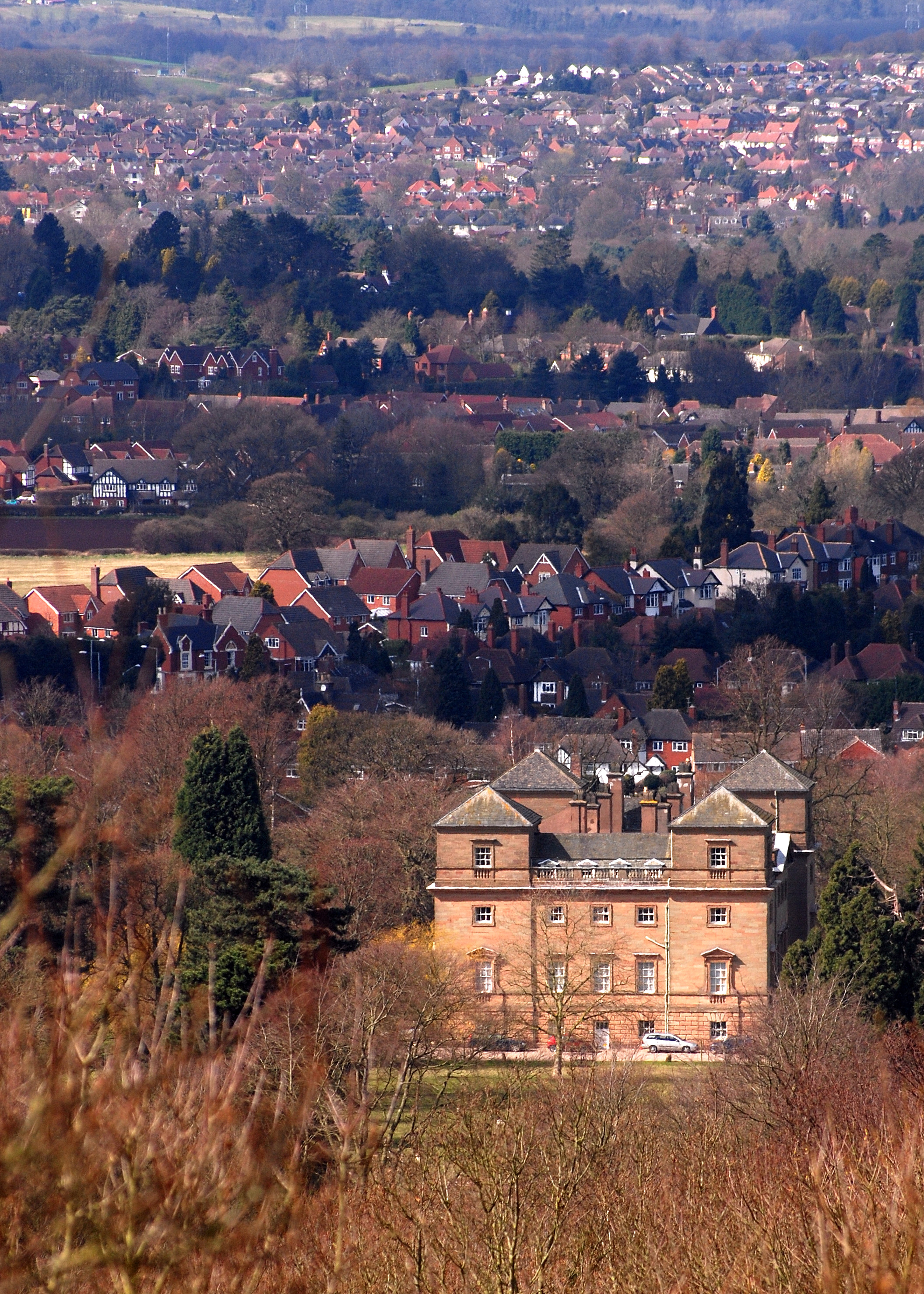
Hagley
Hagley is a large village and civil parish in Worcestershire, England. It is on the boundary of the West Midlands and Worcestershire counties between the Metropolitan Borough of Dudley and Kidderminster. Its estimated population was 7,162 in 2019. Development From the time of the Domesday Book until the 1933 boundary changes, the parish of Hagley extended southwards from the village to include the present parish of Blakedown. The main focus of the village, on the lower slopes of the Clent Hills, was on the outskirts, where Hagley Hall and the parish church of St John the Baptist can be found. The parish register of Hagley is the oldest in England. It dates from 1 December 1538, which was the year in which registers were ordered to be kept in all parishes. Lower Hagley lies downhill and started to expand with the arrival of the Oxford, Worcester and Wolverhampton Railway in 1852 and the eventual building of Hagley railway station. The growth of what is now known as West Hagley i ... [...More Info...] [...Related Items...] OR: [Wikipedia] [Google] [Baidu] |
Fingerpost, Worcestershire
Fingerpost is a hamlet and road junction in north Worcestershire, England, approximately west of Bewdley. It is located at the junction of the A456 and A4117 roads, on the edge of the Wyre Forest and is named for a notable fingerpost that once existed at this historic junction. Fingerpost is in the civil parish of Rock and the Wyre Forest District. The parish council erected a large commemorative stone near the Fingerpost junction for the Diamond Jubilee of Queen Elizabeth II. (''erroneously described'') Further along the A4117 is , beyond which is Shropshire
Shropshire (; al ...
[...More Info...] [...Related Items...] OR: [Wikipedia] [Google] [Baidu] |
Bewdley
Bewdley ( pronunciation) is a town and civil parish in the Wyre Forest District in Worcestershire, England on the banks of the River Severn. It is in the Severn Valley west of Kidderminster and southwest of Birmingham. It lies on the River Severn, at the gateway of the Wyre Forest national nature reserve, and at the time of the 2011 census had a population of 9,470. Bewdley is a popular tourist destination and is known for the Bewdley Bridge, designed by Thomas Telford, and the well preserved Georgian riverside. Town geography The main part of Bewdley town is situated on the western bank of the River Severn, including the main street—Load Street. Its name derives from ''lode'', an old word for ferry. Load Street is notable for its width: it once also served as the town's market place. Most of Bewdley's shops and amenities are situated along Load Street, at the top of which lies St Anne's Church, built between 1745 and 1748 by Doctor Thomas Woodward of Chipping Campden. ... [...More Info...] [...Related Items...] OR: [Wikipedia] [Google] [Baidu] |
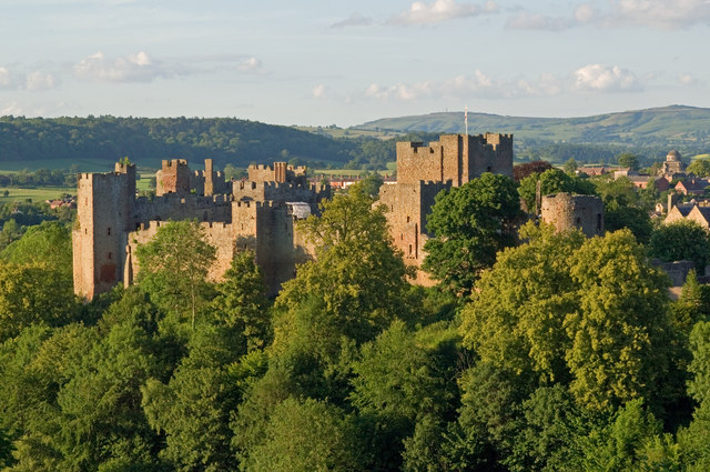
Ludlow
Ludlow () is a market town in Shropshire, England. The town is significant in the history of the Welsh Marches and in relation to Wales. It is located south of Shrewsbury and north of Hereford, on the A49 road which bypasses the town. The town is near the confluence of the rivers Corve and Teme. The oldest part is the medieval walled town, founded in the late 11th century after the Norman conquest of England. It is centred on a small hill which lies on the eastern bank of a bend of the River Teme. Situated on this hill are Ludlow Castle and the parish church, St Laurence's, the largest in the county. From there the streets slope downward to the rivers Corve and Teme, to the north and south respectively. The town is in a sheltered spot beneath Mortimer Forest and the Clee Hills, which are clearly visible from the town. Ludlow has nearly 500 listed buildings, including examples of medieval and Tudor-style half-timbered buildings. The town was described by Sir John Betjeman ... [...More Info...] [...Related Items...] OR: [Wikipedia] [Google] [Baidu] |
Edgbaston
Edgbaston () is an affluent suburban area of central Birmingham, England, historically in Warwickshire, and curved around the southwest of the city centre. In the 19th century, the area was under the control of the Gough-Calthorpe family and the Gillott family who refused to allow factories or warehouses to be built in Edgbaston, thus making it attractive for the wealthier residents of the city. It then came to be known as "where the trees begin". One of these private houses is grade one listed and open to the public. The majority of Edgbaston that falls under the B15 postcode finds itself being part of the Calthorpe Estate. The estate is an active conservation area, and it is here that the areas most prized properties are situated. The exclusivity of Edgbaston is down to its array of multi-million listed Georgian and Victorian villas, making it one of the most expensive postcodes outside of London. Edgbaston boasts facilities such as Edgbaston Cricket Ground, a Test mat ... [...More Info...] [...Related Items...] OR: [Wikipedia] [Google] [Baidu] |
Bearwood, West Midlands
Bearwood is the southern part of Smethwick, Sandwell, West Midlands, England, and north of the A456 Hagley Road. Bearwood Hill was the original name of the High Street from Smethwick Council House to Windmill Lane. The border at the Shireland Brook where Portland Road (Edgbaston) becomes Shireland Road (Sandwell) is signed "Bearwood" (February 2014). The part of Bearwood to the west of Shireland Brook is included in Abbey Ward in Sandwell Metropolitan Borough. The smaller part of Bearwood to the east of Shireland Brook is in the North West Edgbaston ward in Birmingham. In 1903, Bearwood Ward in Smethwick extended from Hagley Road to Smethwick High Street and included part of Cape Hill. The Bearwood telephone exchange area marked out by the 0121-429, 420, and 434 numbers extends as far east as Harborne Walkway. Bearwood, like many areas of the West Midlands conurbation, has a local sense of place, although it has become absorbed into Smethwick. Many locals still use the ... [...More Info...] [...Related Items...] OR: [Wikipedia] [Google] [Baidu] |


_Tower%2C_Castle_Road%2C_Kidderminster_(geograph_2328286).jpg)


