|
Highway 187 (Wisconsin)
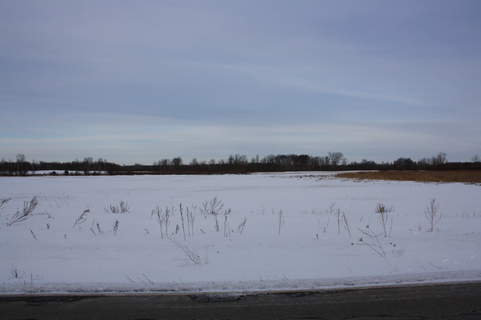
State Trunk Highway 187 (often called Highway 187, STH-187 or WIS 187) is a state highway in the U.S. state of Wisconsin. It runs north–south in central Wisconsin from the intersection of WIS 54 near Shiocton to the junction of WIS 156 just west of Navarino. WIS 187 passes through sparsely populated, rural areas in the flat river valley of the Wolf River. The routing of the present WIS 187 has barely been changed since the introduction of the Wisconsin State Highway system in the 1920s. Route description WIS 187 starts at an intersection with WIS 54 (Rexford Avenue) on the east side of Shiocton. The highway runs north from this intersection along Hamlin Street to the east of the Wolf River through farm fields. North of an intersection with Deer View Road, the highway curves to the northeast and then back to the northwest by the Maine State Wildlife Area in the Town of Maine. North of the protected area, the highway returns to a d ... [...More Info...] [...Related Items...] OR: [Wikipedia] [Google] [Baidu] |
Shiocton, Wisconsin
Shiocton is a village in Outagamie County, Wisconsin, United States. The population was 921 at the 2010 census. It is wholly surrounded by the Town of Bovina. History In the Menominee language, this place is known as ''Māēnomehsāyak'', "wild rice along the banks". The name refers to the wild rice which is a traditional staple of the diets of many Native Americans living in the area, particularly the Menominee, whose name in English is ultimately from an Ojibwe word meaning "people of the wild rice". The Menominee ceded this territory to the United States in the 1836 Treaty of the Cedars, after years of negotiations about how to accommodate the Oneida, Stockbridge-Munsee, and Brothertown peoples who were being removed from New York to Wisconsin. In English, Shiocton was originally named Jordan's Landing, or Jordanville, likely attributable to Woodford D. Jordan, one of the two first white settlers of the area. The community being referred to as Shiocton came later. Geog ... [...More Info...] [...Related Items...] OR: [Wikipedia] [Google] [Baidu] |
State Highways In Wisconsin
State may refer to: Arts, entertainment, and media Literature * ''State Magazine'', a monthly magazine published by the U.S. Department of State * ''The State'' (newspaper), a daily newspaper in Columbia, South Carolina, United States * ''Our State'', a monthly magazine published in North Carolina and formerly called ''The State'' * The State (Larry Niven), a fictional future government in three novels by Larry Niven Music Groups and labels * States Records, an American record label * The State (band), Australian band previously known as the Cutters Albums * ''State'' (album), a 2013 album by Todd Rundgren * ''States'' (album), a 2013 album by the Paper Kites * ''States'', a 1991 album by Klinik * ''The State'' (album), a 1999 album by Nickelback Television * ''The State'' (American TV series), 1993 * ''The State'' (British TV series), 2017 Other * The State (comedy troupe), an American comedy troupe Law and politics * State (polity), a centralized political organizatio ... [...More Info...] [...Related Items...] OR: [Wikipedia] [Google] [Baidu] |
Concurrency (road)
A concurrency in a road network is an instance of one physical roadway bearing two or more different route numbers. When two roadways share the same right-of-way, it is sometimes called a common section or commons. Other terminology for a concurrency includes overlap, coincidence, duplex (two concurrent routes), triplex (three concurrent routes), multiplex (any number of concurrent routes), dual routing or triple routing. Concurrent numbering can become very common in jurisdictions that allow it. Where multiple routes must pass between a single mountain crossing or over a bridge, or through a major city, it is often economically and practically advantageous for them all to be accommodated on a single physical roadway. In some jurisdictions, however, concurrent numbering is avoided by posting only one route number on highway signs; these routes disappear at the start of the concurrency and reappear when it ends. However, any route that becomes unsigned in the middle of the concurren ... [...More Info...] [...Related Items...] OR: [Wikipedia] [Google] [Baidu] |
Shawano, Wisconsin
Shawano (pronounced SHAW-no) is a city in Shawano County, Wisconsin, United States. The population was 9,305 at the 2010 census. It is the county seat of Shawano County. Geography According to the United States Census Bureau, the city has a total area of , of which, is land and is water. Demographics 2010 census As of the census of 2010, there were 9,305 people, 3,960 households, and 2,299 families residing in the city. The population density was . There were 4,309 housing units at an average density of . The racial makeup of the city was 82.4% White, 0.7% African American, 12.3% Native American, 0.4% Asian, 0.1% Pacific Islander, 1.2% from other races, and 2.8% from two or more races. Hispanic or Latino of any race were 3.1% of the population. There were 3,960 households, of which 28.9% had children under the age of 18 living with them, 40.7% were married couples living together, 12.6% had a female householder with no husband present, 4.8% had a male householder with n ... [...More Info...] [...Related Items...] OR: [Wikipedia] [Google] [Baidu] |
Maine, Outagamie County, Wisconsin
Maine is a town in Outagamie County, Wisconsin, United States. The population was 831 at the 2000 census. The unincorporated community of Leeman is located in the town. Geography According to the United States Census Bureau, the town has a total area of 37.4 square miles (96.9 km2), of which, 36.6 square miles (94.8 km2) of it is land and 0.8 square miles (2.0 km2) of it (2.11%) is water. Demographics As of the census of 2000, there were 831 people, 304 households, and 231 families residing in the town. The population density was 22.7 people per square mile (8.8/km2). There were 326 housing units at an average density of 8.9 per square mile (3.4/km2). The racial makeup of the town was 96.99% White, 0.24% African American, 0.48% Native American, 1.93% from other races, and 0.36% from two or more races. Hispanic or Latino of any race were 2.41% of the population. There were 304 households, out of which 32.6% had children under the age of 18 living w ... [...More Info...] [...Related Items...] OR: [Wikipedia] [Google] [Baidu] |
Maine State Wildlife Area
Maine () is a U.S. state, state in the New England and Northeastern United States, Northeastern regions of the United States. It borders New Hampshire to the west, the Gulf of Maine to the southeast, and the Provinces and territories of Canada, Canadian provinces of New Brunswick and Quebec to the northeast and northwest, respectively. The largest state by total area in New England, Maine is the List of U.S. states and territories by area, 12th-smallest by area, the List of U.S. states and territories by population, 9th-least populous, the List of U.S. states by population density, 13th-least densely populated, and the most rural of the List of states and territories of the United States, 50 U.S. states. It is also the northeastern United States, northeasternmost among the contiguous United States, the northernmost state east of the Great Lakes, the only state whose name consists of a single syllable, and the only state to border exactly one other U.S. state. Approximately half ... [...More Info...] [...Related Items...] OR: [Wikipedia] [Google] [Baidu] |
Wolf River (Fox River)
The Wolf River is a longU.S. Geological Survey. National Hydrography Dataset high-resolution flowline dataThe National Map accessed December 19, 2011 tributary of the Fox River in northeastern Wisconsin in the Great Lakes region of the United States. The river is one of the two National Scenic Rivers in Wisconsin, along with the St. Croix River. The scenic portion is long. The river and its parent the Fox River and associated lakes are known for their sturgeon which spawn every spring upstream on the lower river until blocked by the Shawano Dam. The river flows through mostly undeveloped forestland southerly from central Forest County in the north to Lake Poygan (west of Lake Winnebago) in the south. The lake is part of the Winnebago Pool of lakes fed by both the Fox and Wolf Rivers. The Fox-Wolf basin is usually considered to be a single unified basin and the rivers themselves may be referred to as the ''Fox-Wolf River system''. The river is known in the Menominee lang ... [...More Info...] [...Related Items...] OR: [Wikipedia] [Google] [Baidu] |
Navarino, Wisconsin
Navarino is a town in Shawano County, Wisconsin, United States. The population was 422 at the 2000 census. The census-designated place and community of Navarino is located in the town. History The town of Navarino, if not founded by that name, had its name changed from Mayville on December 1, 1874. The town seems to have been named after the Battle of Navarino fought on October 20, 1827 between the Ottoman Empire and a combined British, Russian and French navy.Michael Oren, ''Power, Faith and Fantasy'' (2007) p. 115 This battle is re-enacted every July during the annual Navarino Days, a celebration that celebrates the Diesel Wars (an unsourced local controversy) cease fire, after the 60 day armed siege of the Navarino fire department in the summer of 1934. Geography According to the United States Census Bureau, the town has a total area of 35.7 square miles (92.6 km), of which, 35.2 square miles (91.3 km) of it is land and 0.5 square miles (1.3 km) o ... [...More Info...] [...Related Items...] OR: [Wikipedia] [Google] [Baidu] |
Wisconsin Highway 156
State Trunk Highway 156 (often called Highway 156, STH-156 or WIS 156) is a state highway in the U.S. state of Wisconsin. The highway runs east–west through northeast Wisconsin, passing through Waupaca and Shawano counties. Highway 156 runs from Wisconsin Highway 22 in Clintonville east to Wisconsin Highway 29 at the Brown County line northwest of Green Bay. The highway is maintained by the Wisconsin Department of Transportation. Route description Highway 156 begins at an intersection with Highway 22 in Clintonville. The route leaves Clintonville and runs through eastern Waupaca County before crossing into Shawano County. Highway 156 meets Highway 187 in southwest Shawano County. The highway runs through southern Shawano County and passes through the community of Navarino before meeting Highway 47 near Briarton. Highway 156 continues eastward through Briarton and meets Highway 55 in Rose Lawn before terminating at Highway 29 at the Brown County line. History The o ... [...More Info...] [...Related Items...] OR: [Wikipedia] [Google] [Baidu] |
Wisconsin Highway 54
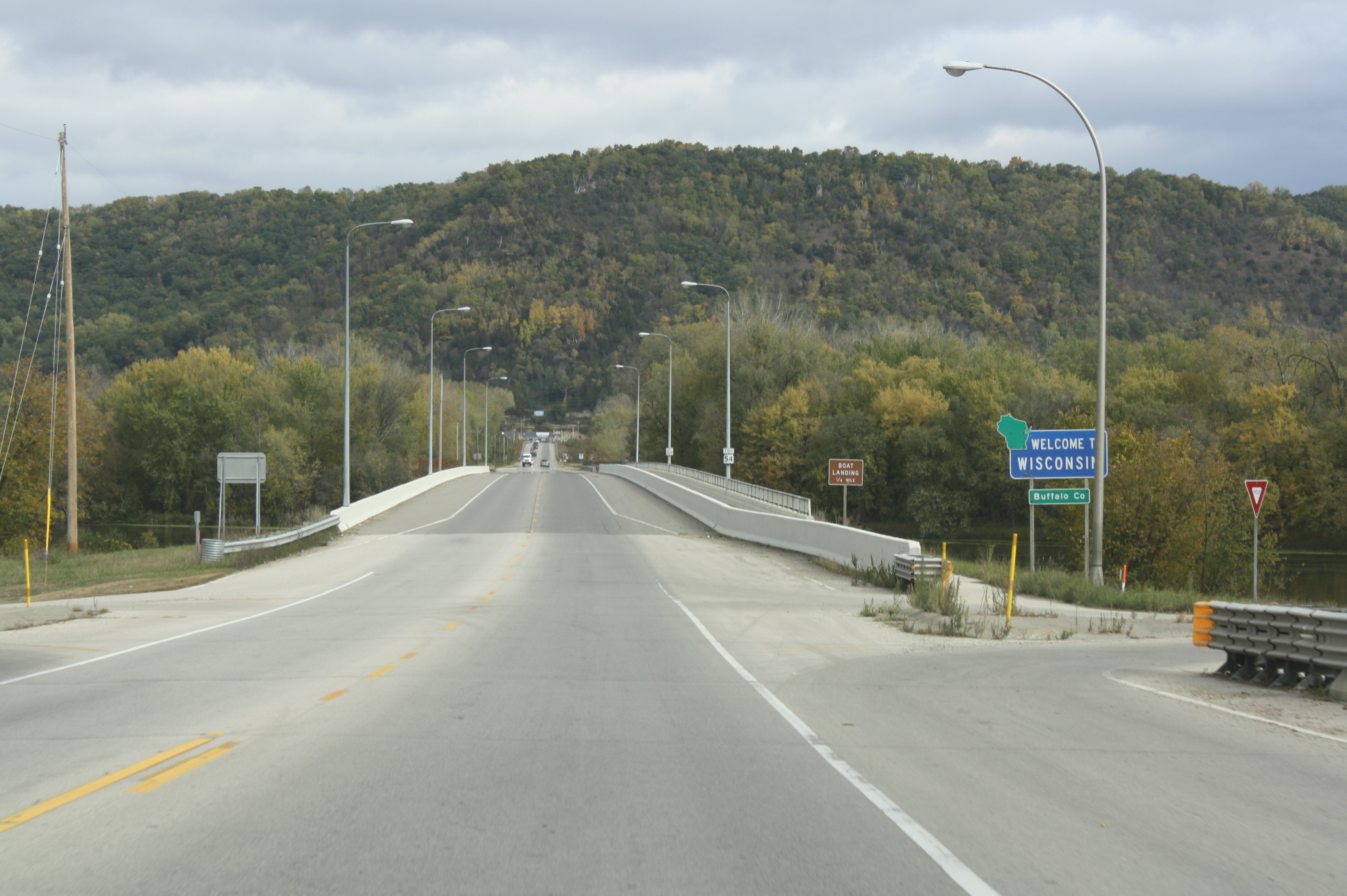
State Trunk Highway 54 (often called Highway 54, STH-54 or WIS 54) is a Wisconsin state highway running east–west across central Wisconsin. It is in length. Route description Minnesota state line to Plover WIS 54 begins at the western terminus. It crosses through the Minnesota state line at Winona, Minnesota via the North Channel Bridge. At this bridge, MN 43 ends there. After crossing the bridge, it soon turns east via WIS 35/Great River Road. In Centerville, WIS 35, as well as the Great River Road, turn southward; leaves the concurrency. At the same junction, WIS 93 joins the concurrency eastward. Further east, they then start to run concurrently with US 53 in Galesville. However, as they travel eastward, WIS 54 turns northeast, leaving the concurrency. At Butman Corners, WIS 54 then turns east again. After leaving Butman Corners, it closely parallels the Black River just south of the route. Then, it meanders eastward towards ... [...More Info...] [...Related Items...] OR: [Wikipedia] [Google] [Baidu] |


