|
Maine, Outagamie County, Wisconsin
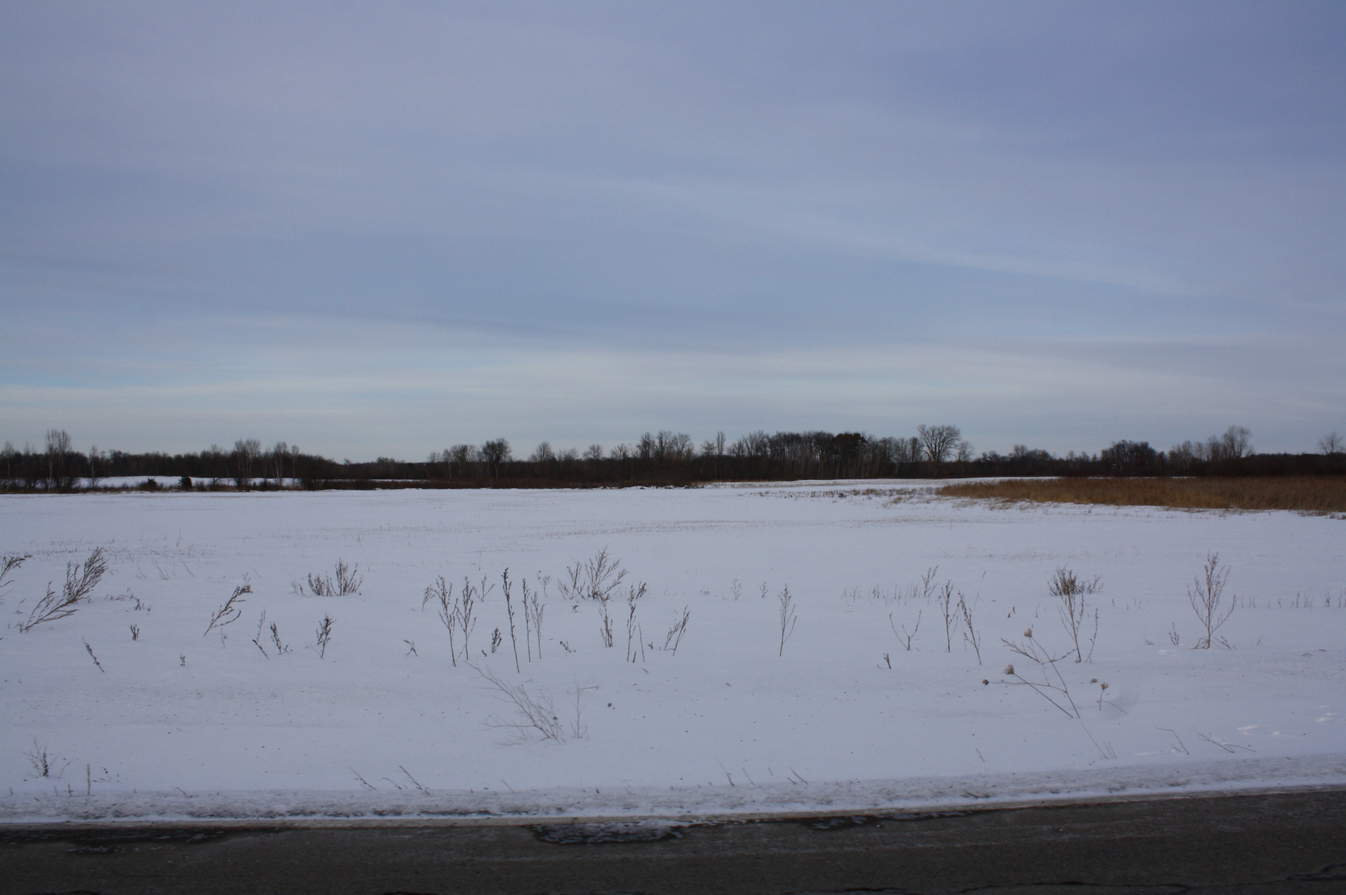
Maine is a town in Outagamie County, Wisconsin, United States. The population was 831 at the 2000 census. The unincorporated community of Leeman is located in the town. Geography According to the United States Census Bureau, the town has a total area of 37.4 square miles (96.9 km2), of which, 36.6 square miles (94.8 km2) of it is land and 0.8 square miles (2.0 km2) of it (2.11%) is water. Demographics As of the census of 2000, there were 831 people, 304 households, and 231 families residing in the town. The population density was 22.7 people per square mile (8.8/km2). There were 326 housing units at an average density of 8.9 per square mile (3.4/km2). The racial makeup of the town was 96.99% White, 0.24% African American, 0.48% Native American, 1.93% from other races, and 0.36% from two or more races. Hispanic or Latino of any race were 2.41% of the population. There were 304 households, out of which 32.6% had children under the age of 18 living w ... [...More Info...] [...Related Items...] OR: [Wikipedia] [Google] [Baidu] |
Town
A town is a human settlement. Towns are generally larger than villages and smaller than cities, though the criteria to distinguish between them vary considerably in different parts of the world. Origin and use The word "town" shares an origin with the German word , the Dutch word , and the Old Norse . The original Proto-Germanic word, *''tūnan'', is thought to be an early borrowing from Proto-Celtic *''dūnom'' (cf. Old Irish , Welsh ). The original sense of the word in both Germanic and Celtic was that of a fortress or an enclosure. Cognates of ''town'' in many modern Germanic languages designate a fence or a hedge. In English and Dutch, the meaning of the word took on the sense of the space which these fences enclosed, and through which a track must run. In England, a town was a small community that could not afford or was not allowed to build walls or other larger fortifications, and built a palisade or stockade instead. In the Netherlands, this space was a garden, mor ... [...More Info...] [...Related Items...] OR: [Wikipedia] [Google] [Baidu] |
Population Density
Population density (in agriculture: standing stock or plant density) is a measurement of population per unit land area. It is mostly applied to humans, but sometimes to other living organisms too. It is a key geographical term.Matt RosenberPopulation Density Geography.about.com. March 2, 2011. Retrieved on December 10, 2011. In simple terms, population density refers to the number of people living in an area per square kilometre, or other unit of land area. Biological population densities Population density is population divided by total land area, sometimes including seas and oceans, as appropriate. Low densities may cause an extinction vortex and further reduce fertility. This is called the Allee effect after the scientist who identified it. Examples of the causes of reduced fertility in low population densities are * Increased problems with locating sexual mates * Increased inbreeding Human densities Population density is the number of people per unit of area, usuall ... [...More Info...] [...Related Items...] OR: [Wikipedia] [Google] [Baidu] |
Village Of Maine, Wisconsin
Maine is an incorporated village in Marathon County, Wisconsin, United States. It is part of the Wausau, Wisconsin Metropolitan Statistical Area. The population was 2,337 at the 2010 census. The unincorporated communities of Mount View and Taegesville are located partially in the town. History Originally organized as a town in 1866, it was named for Uriah E. Maine. He was a county sheriff and surveyor in the early 1860s. In December 2015, Maine voted to become a village. Geography According to the United States Census Bureau, the village has a total area of , of which is land and , or 1.00%, is water. Demographics At the 2000 census there were 2,407 people, 842 households, and 721 families residing in the former town. The population density was 56.8 people per square mile (21.9/km). There were 877 housing units at an average density of 20.7 per square mile (8.0/km). The racial makeup of the town was 98.46% White, 0.04% Native American, 1.25% Asian, 0.08% from other races ... [...More Info...] [...Related Items...] OR: [Wikipedia] [Google] [Baidu] |
Marathon County
Marathon County is a county located in the U.S. state of Wisconsin. As of the 2020 census, the population was 138,013. Marathon County's seat is Wausau. It was founded in 1850, created from a portion of Portage County. At that time the county stretched to the northern border with the upper Michigan peninsula. It is named after the battlefield at Marathon, Greece. Marathon County comprises the Wausau, WI Metropolitan Statistical Area and is included in the Wausau-Stevens Point-Wisconsin Rapids, WI Combined Statistical Area. Geography According to the U.S. Census Bureau, the county has a total area of , of which is land and (2.0%) is water. It is the largest county in Wisconsin by land area and fourth-largest by total area. The Marathon County Park Commission has posted a geographical marker that identifies the spot (45°N, 90°W) of the exact center of the northern half of the Western Hemisphere, meaning that it is a quarter of the way around the world from the Prime M ... [...More Info...] [...Related Items...] OR: [Wikipedia] [Google] [Baidu] |

.jpg)
