|
Camp Academia
Camp Academia ( bg, лагер Академия, lager Akademiya, ) is a geographical locality in eastern Livingston Island, South Shetland Islands, Antarctica, named for the Bulgarian Academy of Sciences in appreciation of Academy’s contribution to the Antarctic exploration. The site was first occupied in the 2004/05 austral summer, and has been designated since 2004 as the summer post office Tangra 1091, the southernmost branch of the Bulgarian Posts Plc. Access and survey routes Camp Academia is strategically situated in upper Huron Glacier, Wörner Gap area, at elevation 541 m in the northwestern foothills of Zograf Peak, central Tangra Mountains. The site is accessible by 11-12.5 km routes from the Bulgarian base St. Kliment Ohridski and the Spanish base Juan Carlos I respectively. Camp Academia offers convenient overland access to the main range of Tangra Mountains to the south (with survey and climbing routes leading from Camp Academia to Lyaskovets Peak and M ... [...More Info...] [...Related Items...] OR: [Wikipedia] [Google] [Baidu] |
Research Stations In Antarctica
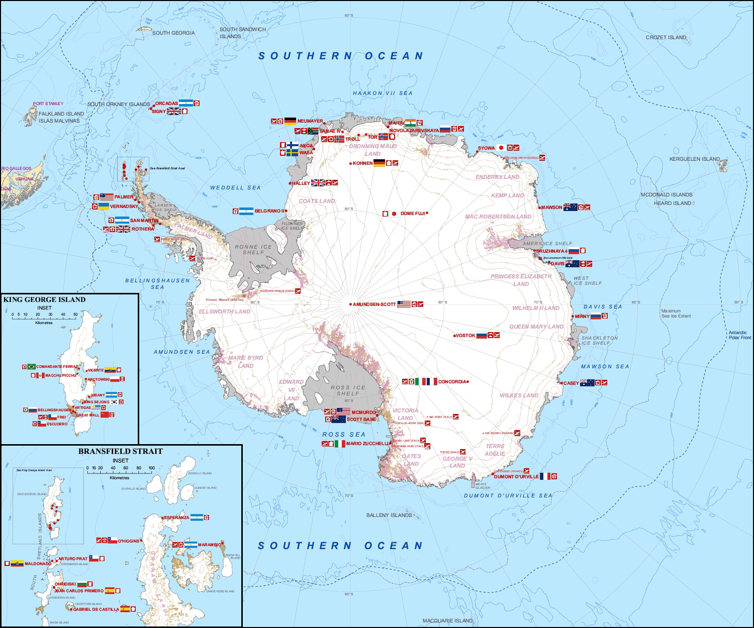
Multiple governments have set up permanent research stations in Antarctica and these bases are widely distributed. Unlike the drifting ice stations set up in the Arctic, the research stations of the Antarctic are constructed either on rock or on ice that is (for practical purposes) fixed in place. Many of the stations are staffed throughout the year. A total of 42 countries (as of October 2006), all signatories to the Antarctic Treaty, operate seasonal (summer) and year-round research stations on the continent. The population of people performing and supporting scientific research on the continent and nearby islands varies from approximately 4,000 during the summer season to 1,000 during winter (June). In addition to these permanent stations, approximately 30 field camps are established each summer to support specific projects. History First bases During the Heroic Age of Antarctic Exploration in the late 19th century, the first bases on the continent were established ... [...More Info...] [...Related Items...] OR: [Wikipedia] [Google] [Baidu] |
Lozen Saddle
Lozen Saddle (Lozenska Sedlovina \'lo-zen-ska se-dlo-vi-'na\) is a 437 m high saddle situated between Lozen Nunatak and Zograf Peak in Tangra Mountains, eastern Livingston Island in the South Shetland Islands, Antarctica which provides overland access from the Wörner Gap area to the Shipka Valley. The saddle was first crossed by the Bulgarian Lyubomir Ivanov from Camp Academia on 17 December 2004, and takes its name from the adjacent Lozen Nunatak. Location The saddle is located at which is 5.29 km east of Orpheus Gate, 3.44 km south-southwest of Pirdop Gate and 5.46 km west of Karnobat Pass (Bulgarian topographic survey Tangra 2004/05, and mapping in 2005 and 2009). Maps * L.L. Ivanov et al. Antarctica: Livingston Island and Greenwich Island, South Shetland Islands. Scale 1:100000 topographic map. Sofia: Antarctic Place-names Commission of Bulgaria, 2005. * L.L. IvanovAntarctica: Livingston Island and Greenwich, Robert, Snow and Smith Islands Scale 1:1200 ... [...More Info...] [...Related Items...] OR: [Wikipedia] [Google] [Baidu] |
Ongal Peak
Ongal Peak ( bg, връх Онгъл, vrah Ongal, ) is a sharp glaciated peak rising to 1151 m on Levski Ridge of Tangra Mountains, Livingston Island in the South Shetland Islands, Antarctica. It surmounts Shipka Valley on the north-northwest, and Huron Glacier and its tributaries on the north and northeast. SCAR Composite Gazetteer of Antarctica The peak was first ascended and surveyed on 21 December 2004 by the Bulgarian Lyubomir Ivanov from Camp Academia. It was named after the histor ... [...More Info...] [...Related Items...] OR: [Wikipedia] [Google] [Baidu] |
Doychin Vasilev
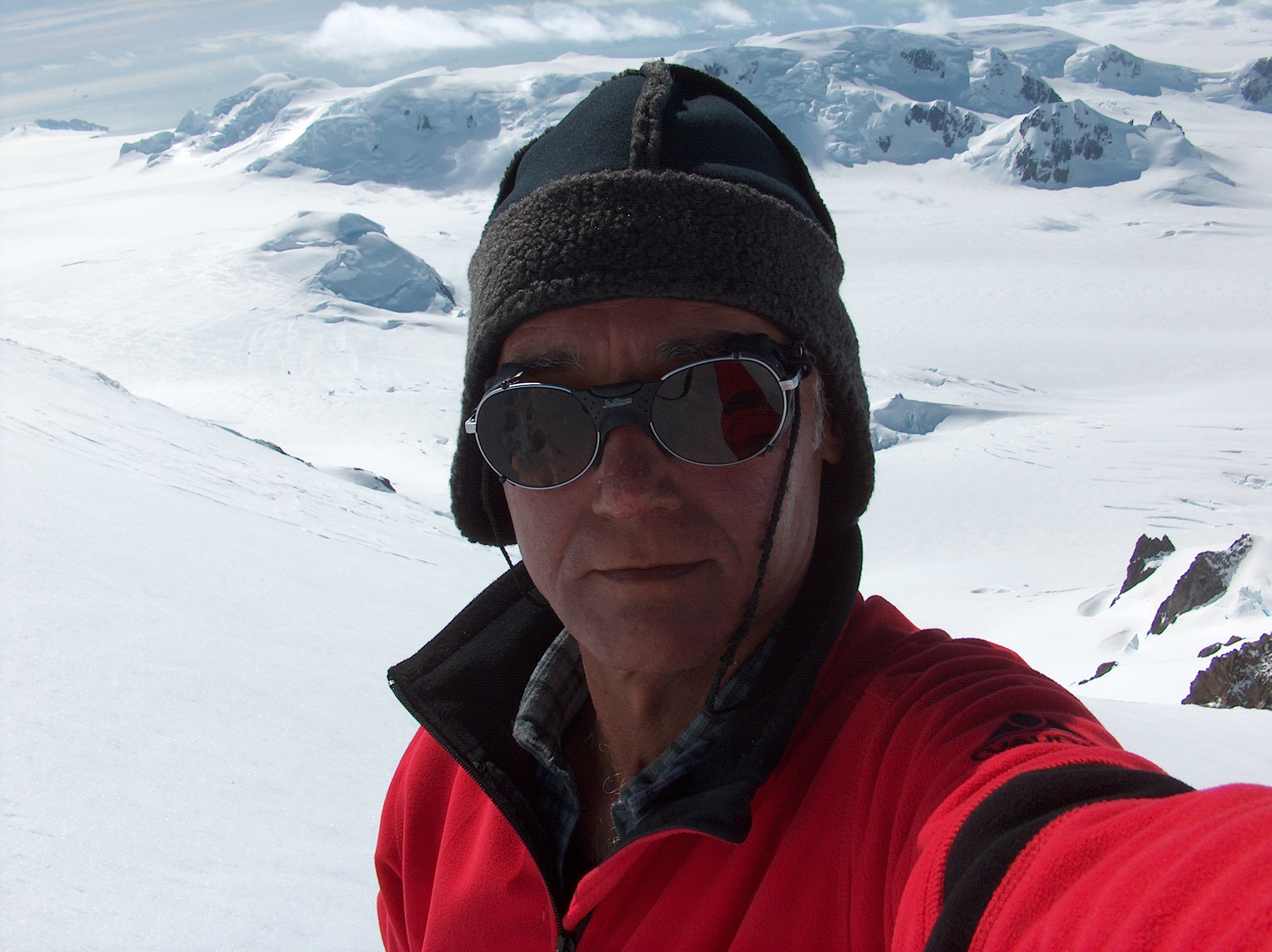
Doychin Vasilev ( bg, Дойчин Василев, born 12 June 1944 in Sofia) is a Bulgarian alpinist and cinematographer who has climbed five Himalayan 8,000 m peaks: Dhaulagiri (in 1995), Mount Everest (1997), Makalu (1998), and Shishapangma and Cho Oyu (1999). President of Alpine Club Vihren, Sofia. Participant in the Bulgarian Antarctic expedition Tangra 2004/05, noted by Discovery Channel Discovery Channel (known as The Discovery Channel from 1985 to 1995, and often referred to as simply Discovery) is an American cable channel owned by Warner Bros. Discovery, a publicly traded company run by CEO David Zaslav. , Discovery Chan ... as a timeline event in Antarctic exploration. [...More Info...] [...Related Items...] OR: [Wikipedia] [Google] [Baidu] |
Lyubomir Ivanov (explorer)
Lyubomir Ivanov ( bg, Любомир Иванов, born 7 October 1952 in Sofia) is a Bulgarian scientist, non-governmental activist, and Antarctic explorer. He is a graduate of the St. Kliment Ohridski University of Sofia with M.S. degree in mathematics in 1977, earned his PhD from Sofia University in 1980 under the direction of Dimiter Skordev, with a dissertation entitled ''Iterative Operative Spaces'', and was the 1987 winner of ''Acad. Nikola Obreshkov Prize'', the highest Bulgarian award in mathematics. Academic and NGO work Appointed head of the Department of Mathematical Logic at the Institute of Mathematics and Informatics, Bulgarian Academy of Sciences in 1990, Dr Ivanov has since helped found the Atlantic Club of Bulgaria, in which he held the position of chairman from 2001 to 2009. In 1994 he founded the Manfred Wörner Foundation, an organisation dedicated to trans-atlantic co-operation. Member of the Streit Council Advisory Board, Washington, DC since 2006. Fo ... [...More Info...] [...Related Items...] OR: [Wikipedia] [Google] [Baidu] |
Half Moon Island (South Shetland Islands)
Half Moon Island is a minor Antarctic island, lying in McFarlane Strait north of Burgas Peninsula, Livingston Island in the South Shetland Islands of the Antarctic Peninsula region. Its surface area is . The Argentine Cámara Base is located on the island. It is only accessible by sea and by helicopter; there is no airport of any kind. The naval base is operational occasionally during the summer, but is closed during the winter. Geography The island is a series of gravel bars (tombolos) connecting volcanic bedrock islands. The volcanism is not recent and may be millions of years old. The crescent shaped island may be the result of an eroded caldera similar to the much more recent Deception Island volcano complex. The parallel gravel bars are a result of post-glacial (isostatic) uplift of the area after the much larger Pleistocene ice cap melted and the pressure was released. Wildlife Plants found on the island include several lichen and moss species as well as Antarct ... [...More Info...] [...Related Items...] OR: [Wikipedia] [Google] [Baidu] |
Tangra 2004/05
The Tangra 2004/05 Expedition was commissioned by the Antarctic Place-names Commission at the Ministry of Foreign Affairs of Bulgaria, managed by the Manfred Wörner Foundation, and supported by the Bulgarian Antarctic Institute, the Institute of Mathematics and Informatics at the Bulgarian Academy of Sciences, Bulgarian Posts, Uruguayan Antarctic Institute, Peregrine Shipping (Australia), and Petrol Ltd, TNT, Mtel, Bulstrad, Polytours, B. Bekyarov and B. Chernev (Bulgaria). Expedition team Dr. Lyubomir Ivanov (team leader), senior research associate, Institute of Mathematics and Informatics at the Bulgarian Academy of Sciences; chairman, Antarctic Place-names Commission; author of the 1995 Bulgarian Antarctic ''Toponymic Guidelines'' introducing in particular the present official system for the Romanization of Bulgarian; participant in four Bulgarian Antarctic campaigns, and author of the first Bulgarian Antarctic topographic maps. Doychin Vasilev ... [...More Info...] [...Related Items...] OR: [Wikipedia] [Google] [Baidu] |
Huntress Glacier
Huntress Glacier is a glacier long and wide flowing into the head of False Bay, Livingston Island in the South Shetland Islands, Antarctica. It is situated east of Johnsons Glacier, southeast of Contell Glacier and Balkan Snowfield, south of upper Perunika Glacier, southwest of Huron Glacier and northwest of Macy Glacier, and is bounded by Friesland Ridge and the Tangra Mountains to the southeast, Nesebar Gap, Pliska Ridge, Burdick Ridge and Willan Nunatak to the north, and Charrúa Gap and Napier Peak to the northwest. The glacier was named by the UK Antarctic Place-Names Committee in 1958 after the American schooner ''Huntress'' (Captain Christopher Burdick) from Nantucket, which visited the South Shetland Islands in 1820–21 in company with the ''Huron'' of New Haven, Connecticut. Location The glacier's midpoint is located at (British mapping in 1968, and Bulgarian in 2005 and 2009). See also * List of glaciers in the Antarctic * Glaciology Glaciology (; ... [...More Info...] [...Related Items...] OR: [Wikipedia] [Google] [Baidu] |
Perunika Glacier
Perunika Glacier ( bg, ледник Перуника, lednik Perunika, ) is an 8 km long and 3 km wide (average) roughly crescent-shaped glacier in eastern Livingston Island in the South Shetland Islands, Antarctica situated east of Pimpirev Glacier, south of Saedinenie Snowfield, southwest of Kaliakra Glacier, west of Huron Glacier, and north of Balkan Snowfield and the head of Huntress Glacier."Perunika Glacier " SCAR Its head is bounded by Pliska Ridge to the south-southwest, [...More Info...] [...Related Items...] OR: [Wikipedia] [Google] [Baidu] |
Burdick Ridge
Burdick Ridge is a ridge rising to an elevation of on Livingston Island in the South Shetland Islands. Extending for between Orpheus Gate in the southeast and Rezen Saddle in the northwest, it is bounded by Perunika Glacier to the northeast and Balkan Snowfield to the southwest. It takes its name from its highest point, Burdick Peak. It was first ascended by the Bulgarian Kuzman Tuhchiev from St. Kliment Ohridski Base during the 1993–94 season. Maps Isla Livingston: Península Hurd.Mapa topográfico de escala 1:25000. Madrid: Servicio Geográfico del Ejército, 1991. (Map reproduced on p. 16 of the linked work) * L.L. Ivanov et al. :commons:Image:Livingston-Greenwich-map.jpg, Antarctica: Livingston Island and Greenwich Island, South Shetland Islands. Scale 1:100000 topographic map. Sofia: Antarctic Place-names Commission of Bulgaria, 2005. * L.L. IvanovAntarctica: Livingston Island and Greenwich, Robert, Snow and Smith Islands Scale 1:120000 topographic map. Troyan: Manfr ... [...More Info...] [...Related Items...] OR: [Wikipedia] [Google] [Baidu] |
Pliska Ridge
Pliska Ridge ( bg, връх Плиска, vrah Pliska, ) is a three-peaked ridge rising to 667 m in eastern Livingston Island in the South Shetland Islands, Antarctica. Its central and highest summit, ''Pliska Peak'', is located 2.48 km east-northeast of Willan Nunatak (449 m), 1.81 km southeast of Burdick Peak (773 m, summit of Burdick Ridge), 3.53 km south-southwest of Mount Bowles, 3.68 km west-southwest of Kuzman Knoll, and 3.61 km northwest of Mount Friesland. The feature is 1.6 km long and 500 m wide, its axis trending due east-west, with precipitous southern slopes. It is ice-covered except for segments of its easternmost peak (646 m) and is bounded to the northwest by Orpheus Gate, to the north by the head of Perunika Glacier, to the east by Nesebar Gap, and to the south and west by the head of Huntress Glacier, the latter flowing 6 km southwestwards into False Bay. First ascent by the Bulgarian Lyubomir Ivanov from Camp Academia ... [...More Info...] [...Related Items...] OR: [Wikipedia] [Google] [Baidu] |
Saedinenie Snowfield
Saedinenie Snowfield ( bg, ледник Съединение, lednik Saedinenie, ) on Livingston Island in the South Shetland Islands, Antarctica is situated southwest of Rose Valley Glacier, west of Panega Glacier, northwest of Kaliakra Glacier, north of lower Perunika Glacier and east-northeast of Tundzha Glacier. It is bounded by Teres Ridge to the west, the glacial divide between the Drake Passage and Bransfield Strait to the south, Gleaner Heights, Elhovo Gap and Leslie Hill to the southeast, and Leslie Gap and Vidin Heights to the east. The snowfield extends 4.7 km inland and 15.5 km in southwest-northeast direction, and drains into Hero Bay between Melta Point and Slab Point. A survey bivouac in eastern Saedinenie Snowfield near Leslie Hill was occupied 24–28 December 2004. The feature was named after the Bulgarian town of Saedinenie ('Reunification'), in association with the 120th anniversary of the Reunification of the Principality of Bulgaria and t ... [...More Info...] [...Related Items...] OR: [Wikipedia] [Google] [Baidu] |


