|
Hollowell
Hollowell is a village and civil parish in West Northamptonshire in England. At the time of the 2001 census, the parish's population, including the nearby hamlet of Teeton, was 353 people, increasing to 385 at the 2011 Census. The village was originally a hamlet of Guilsborough, becoming a separate parish from 1850. Hollowell is mentioned in the Domesday Survey of 1086 as belonging the Bishop of Lincoln having "... 4 villeins with 1 bordar having 1 plough. It was, and is worth, 10 schillings. Bardi held (it) freely." Geography The village is north-west of the town of Northampton and just off a side road west of the village of Creaton on the A5199, formerly the A50, trunk road. About north on the A5199 there is a junction with the A14 trunk road, a dual carriageway connecting the M1 and M6 motorway interchange at Catthorpe with Kettering, Cambridge, Ipswich and the port of Felixstowe. Landmarks Hollowell Reservoir is a reservoir between Northampton and Market Harb ... [...More Info...] [...Related Items...] OR: [Wikipedia] [Google] [Baidu] |
Guilsborough
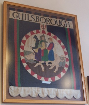
Guilsborough is a village and civil parish in West Northamptonshire in England. At the time of the 2001 census, the parish's population was 882 people, reducing to 692 at the 2011 Census. It is at the centre of an area of rural villages between the towns of Northampton, Daventry, Rugby and Market Harborough. There is a secondary school, primary school, fire station, pub, a new village shop including a Post Office (formerly the doctor's surgery) and a new doctor's surgery with pharmacy and a Hairdressers. History The villages name means 'Gyldi's fortification'. The hundred is named after Guilsborough, but the site of the meeting-place is unknown. Guilsborough is made up of two hamlets, now joined. Guilsborough (Guildesburgh) and Nortoft. The former referring to the Roman fort, or referencing the earlier Late Bronze Age/Iron Age Enclosure on the same site. Possibility of the name deriving from a later Anglo-Saxon base word 'gebeorgan' (enclosure to save/protect/preserve) given ... [...More Info...] [...Related Items...] OR: [Wikipedia] [Google] [Baidu] |
Creaton
Creaton is a village and civil parish in West Northamptonshire, England. Location The village is north-west of the town of Northampton and south-east of the city of Leicester, along the A5199, formerly designated as the A50 trunk road. The road is known as Welford Road in the village and runs along the top of the ridge on which the village stands giving it extensive views east and west. About north on the road the A5199 connects with the A14 trunk road, a dual carriageway connecting the M1 and M6 motorways from the Catthorpe Interchange with Kettering, Cambridge, Ipswich and the port of Felixstowe. Governance The village has its own Parish Council and is part of Daventry Parliamentary Constituency. The Daventry constituency has been represented by a member of the Conservative Party since 1974. The village is currently governed by West Northamptonshire council. Before local government changes the local district council was Daventry District Council where Creaton w ... [...More Info...] [...Related Items...] OR: [Wikipedia] [Google] [Baidu] |
Northamptonshire
Northamptonshire (; abbreviated Northants.) is a county in the East Midlands of England. In 2015, it had a population of 723,000. The county is administered by two unitary authorities: North Northamptonshire and West Northamptonshire. It is known as "The Rose of the Shires". Covering an area of 2,364 square kilometres (913 sq mi), Northamptonshire is landlocked between eight other counties: Warwickshire to the west, Leicestershire and Rutland to the north, Cambridgeshire to the east, Bedfordshire to the south-east, Buckinghamshire to the south, Oxfordshire to the south-west and Lincolnshire to the north-east – England's shortest administrative county boundary at 20 yards (19 metres). Northamptonshire is the southernmost county in the East Midlands. Apart from the county town of Northampton, other major population centres include Kettering, Corby, Wellingborough, Rushden and Daventry. Northamptonshire's county flower is the cowslip. The Soke of Peterborough fal ... [...More Info...] [...Related Items...] OR: [Wikipedia] [Google] [Baidu] |
West Northamptonshire
West Northamptonshire is a unitary authority area covering part of the ceremonial county of Northamptonshire, England, created in 2021. By far the largest settlement in West Northamptonshire is the county town of Northampton. Its other significant towns are Daventry, Brackley and Towcester; the rest of the area is predominantly agricultural villages though it has many lakes and small woodlands and is passed through by the West Coast Main Line and the M1 and M40 motorways, thus hosting a relatively high number of hospitality attractions as well as distribution centres as these are key English transport routes. Close to these is the leisure-use Grand Union Canal. The district has remains of a Roman town Bannaventa, with relics and finds in the main town museums, and its most notable landscape and the mansion is Althorp. History West Northamptonshire was formed on 1 April 2021 through the merger of the three non-metropolitan districts of Daventry, Northampton, and South Nor ... [...More Info...] [...Related Items...] OR: [Wikipedia] [Google] [Baidu] |
Teeton
Teeton is a village in Hollowell civil parish, part of West Northamptonshire Northamptonshire (; abbreviated Northants.) is a county in the East Midlands of England. In 2015, it had a population of 723,000. The county is administered by two unitary authorities: North Northamptonshire and West Northamptonshire. It ... in England. The village's name means 'Beacon'. The village is situated on the end of a ridge. References External links * Villages in Northamptonshire West Northamptonshire District {{Northamptonshire-geo-stub ... [...More Info...] [...Related Items...] OR: [Wikipedia] [Google] [Baidu] |
Kettering
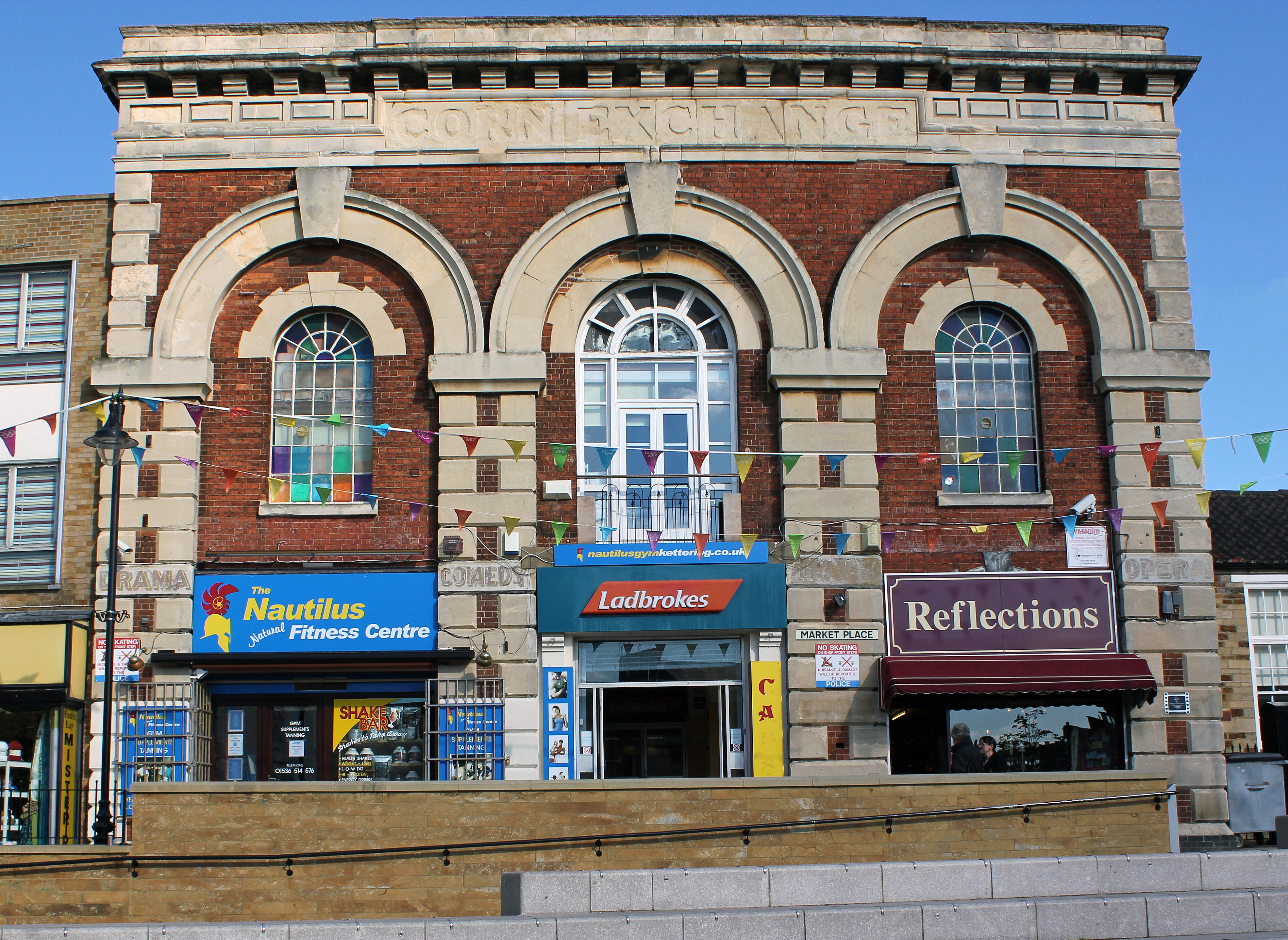
Kettering is a market and industrial town in North Northamptonshire, England. It is located north of London and north-east of Northampton, west of the River Ise, a tributary of the River Nene. The name means "the place (or territory) of Ketter's people (or kinsfolk)".R.L. Greenall: A History of Kettering, Phillimore & Co. Ltd, 2003, . p.7. In the 2011 census Kettering's built-up area had a population of 63,675. It is part of the East Midlands, along with other towns in Northamptonshire. There is a growing commuter population as it is on the Midland Main Line railway, with East Midlands Railway services direct to London St Pancras International taking about an hour. Early history Kettering means "the place (or territory) of Ketter's people (or kinsfolk)". Spelt variously Cytringan, Kyteringas and Keteiringan in the 10th century, although the origin of the name appears to have baffled place-name scholars in the 1930s, words and place-names ending with "-ing" usually der ... [...More Info...] [...Related Items...] OR: [Wikipedia] [Google] [Baidu] |
Recreational Fishing
Recreational fishing, also called sport fishing or game fishing, is fishing for leisure, exercise or competition. It can be contrasted with commercial fishing, which is professional fishing for profit; or subsistence fishing, which is fishing for survival and livelihood. The most common form of recreational fishing is angling, which is done with a rig of rod, reel, line, hooks and any one of a wide range of baits, as well as other complementary devices such as weights, floats, swivels and method feeders, collectively referred to as ''terminal tackles''. Lures are frequently used in place of fresh bait when fishing for predatory fishes. Some hobbyists hand-make custom tackles themselves, including plastic lures and artificial flies. Other forms of recreational fishing include spearfishing, which is done with a speargun or harpoon usually while diving; and bowfishing, with is done from above the water with archery equipments such as a compound bow or crossbow. ... [...More Info...] [...Related Items...] OR: [Wikipedia] [Google] [Baidu] |
Tourist Attractions In Northamptonshire
Tourism is travel for pleasure or business; also the theory and practice of touring, the business of attracting, accommodating, and entertaining tourists, and the business of operating tours. The World Tourism Organization defines tourism more generally, in terms which go "beyond the common perception of tourism as being limited to holiday activity only", as people "travelling to and staying in places outside their usual environment for not more than one consecutive year for leisure and not less than 24 hours, business and other purposes". Tourism can be domestic (within the traveller's own country) or international, and international tourism has both incoming and outgoing implications on a country's balance of payments. Tourism numbers declined as a result of a strong economic slowdown (the late-2000s recession) between the second half of 2008 and the end of 2009, and in consequence of the outbreak of the 2009 H1N1 influenza virus, but slowly recovered until the COVID- ... [...More Info...] [...Related Items...] OR: [Wikipedia] [Google] [Baidu] |
Villages In Northamptonshire
A village is a clustered human settlement or community, larger than a hamlet but smaller than a town (although the word is often used to describe both hamlets and smaller towns), with a population typically ranging from a few hundred to a few thousand. Though villages are often located in rural areas, the term urban village is also applied to certain urban neighborhoods. Villages are normally permanent, with fixed dwellings; however, transient villages can occur. Further, the dwellings of a village are fairly close to one another, not scattered broadly over the landscape, as a dispersed settlement. In the past, villages were a usual form of community for societies that practice subsistence agriculture, and also for some non-agricultural societies. In Great Britain, a hamlet earned the right to be called a village when it built a church. [...More Info...] [...Related Items...] OR: [Wikipedia] [Google] [Baidu] |
Member Of The Most Excellent Order Of The British Empire
The Most Excellent Order of the British Empire is a British order of chivalry, rewarding contributions to the arts and sciences, work with charitable and welfare organisations, and public service outside the civil service. It was established on 4 June 1917 by King George V and comprises five classes across both civil and military divisions, the most senior two of which make the recipient either a Orders, decorations, and medals of the United Kingdom#Modern honours, knight if male or dame (title), dame if female. There is also the related British Empire Medal, whose recipients are affiliated with, but not members of, the order. Recommendations for appointments to the Order of the British Empire were originally made on the nomination of the United Kingdom, the self-governing Dominions of the Empire (later Commonwealth) and the Viceroy of India. Nominations continue today from Commonwealth countries that participate in recommending British honours. Most Commonwealth countries ceas ... [...More Info...] [...Related Items...] OR: [Wikipedia] [Google] [Baidu] |
Draft Horse
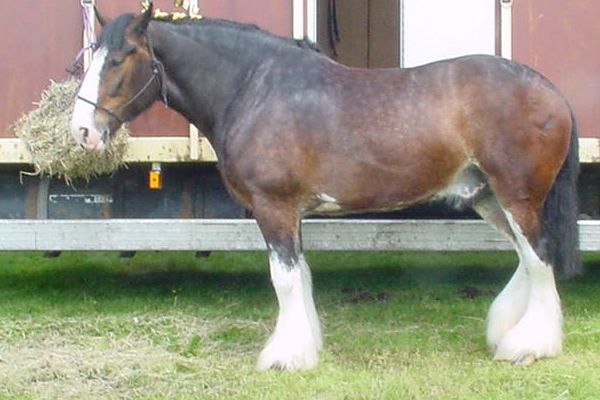
A draft horse (US), draught horse (UK) or dray horse (from the Old English ''dragan'' meaning "to draw or haul"; compare Dutch ''dragen'' and German ''tragen'' meaning "to carry" and Danish ''drage'' meaning "to draw" or "to fare"), less often called a carthorse, work horse or heavy horse, is a large horse bred to be a working animal doing hard tasks such as plowing and other farm labor. There are a number of breeds, with varying characteristics, but all share common traits of strength, patience, and a docile temperament which made them indispensable to generations of pre-industrial farmers. Draft horses and draft crossbreds are versatile breeds used today for a multitude of purposes, including farming, draft horse showing, logging, recreation, and other uses. They are also commonly used for crossbreeding, especially to light riding breeds such as the Thoroughbred, for the purpose of creating sport horses of warmblood type. While most draft horses are used for driving, ... [...More Info...] [...Related Items...] OR: [Wikipedia] [Google] [Baidu] |
Traction Engine
A traction engine is a steam engine, steam-powered tractor used to move heavy loads on roads, plough ground or to provide power at a chosen location. The name derives from the Latin ''tractus'', meaning 'drawn', since the prime function of any traction engine is to draw a load behind it. They are sometimes called road locomotives to distinguish them from railway steam locomotive, locomotives – that is, steam engines that run on rails. Traction engines tend to be large, robust and powerful, but also heavy, slow, and difficult to manoeuvre. Nevertheless, they revolutionized agriculture and road haulage at a time when the only alternative Prime mover (tractor unit), prime mover was the draught horse. They became popular in industrialised countries from around 1850, when the first self-propelled portable steam engines for agricultural use were developed. Production continued well into the early part of the 20th century, when competition from internal combustion engine-powered ... [...More Info...] [...Related Items...] OR: [Wikipedia] [Google] [Baidu] |


_-_Ystad-2018.jpg)


