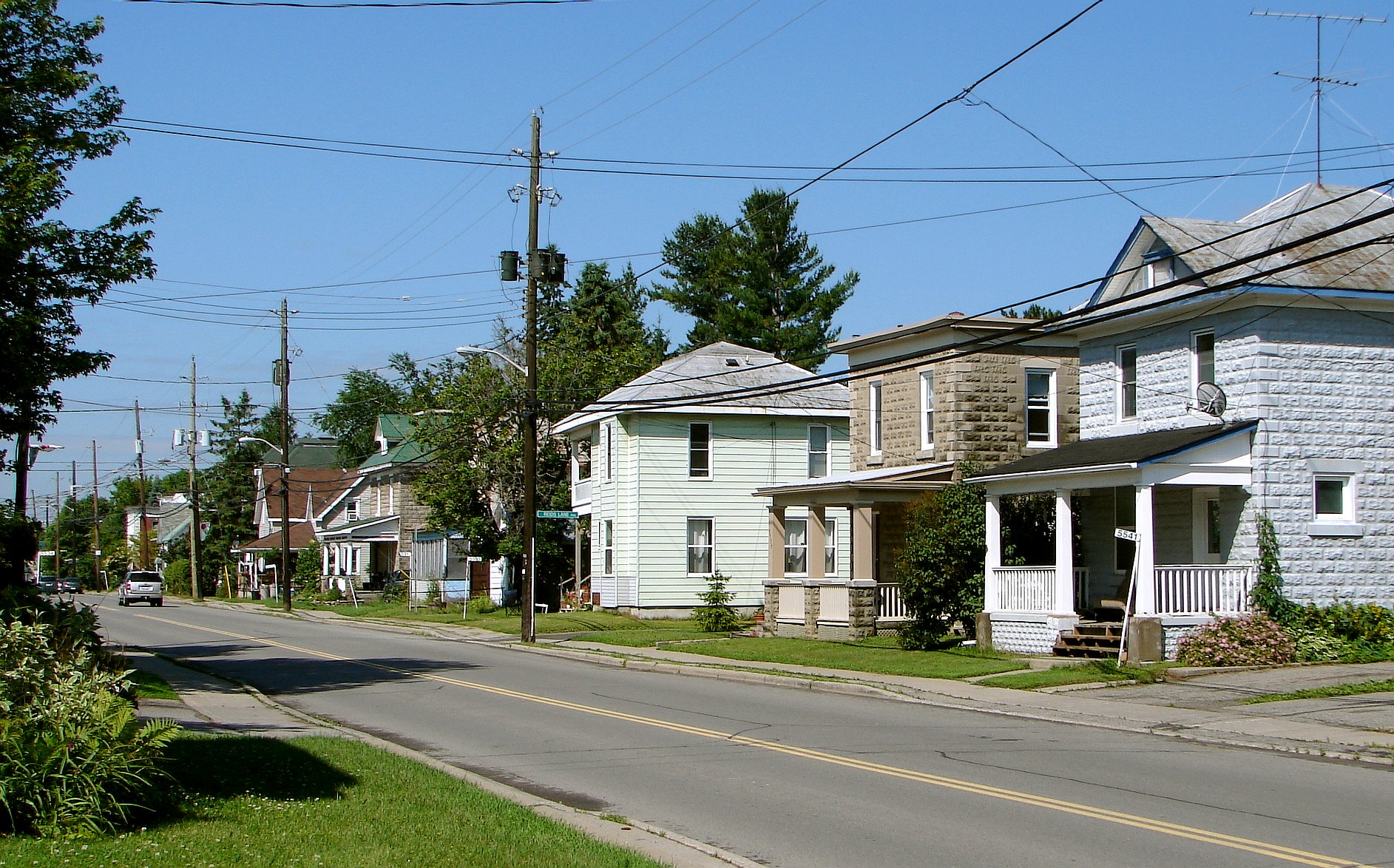
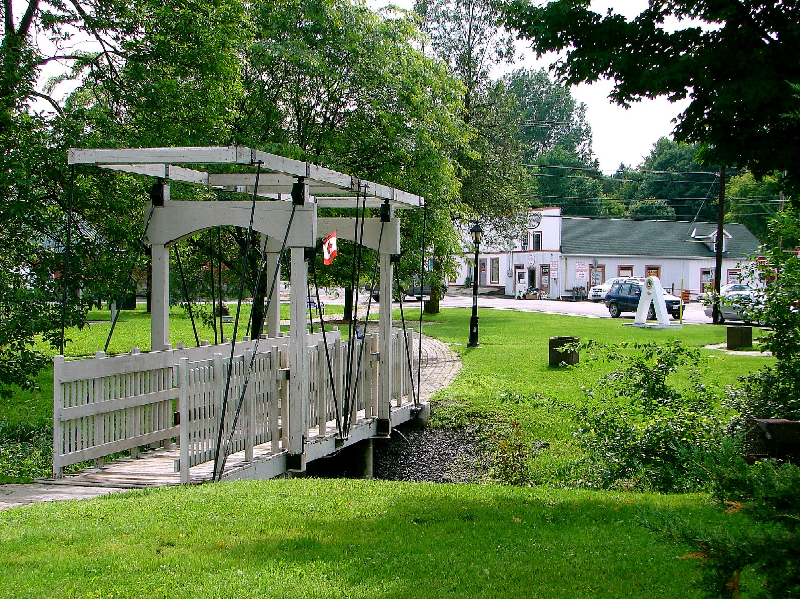
Osgoode Township, Ontario on:
[Wikipedia]
[Google]
[Amazon]

 Osgoode Township is a former township that is now a part of the city of
/ref>
Osgoode Township Historical Society
{{coord, 45, 13, N, 75, 31, W, display=title, region:CA-ON Former township municipalities in Ontario Former municipalities now in Ottawa Populated places disestablished in 2000
Ottawa
Ottawa is the capital city of Canada. It is located in the southern Ontario, southern portion of the province of Ontario, at the confluence of the Ottawa River and the Rideau River. Ottawa borders Gatineau, Gatineau, Quebec, and forms the cor ...
, Ontario
Ontario is the southernmost Provinces and territories of Canada, province of Canada. Located in Central Canada, Ontario is the Population of Canada by province and territory, country's most populous province. As of the 2021 Canadian census, it ...
, Canada. The township along the Rideau River
The Rideau River (, ) is a river in Eastern Ontario, Canada. The river flows north from Upper Rideau Lake and empties into the Ottawa River at the Rideau Falls in Ottawa, Ontario. Its length is .
As explained in a writing by Samuel de Champl ...
was established in 1798 and incorporated in 1850. It was an independent township in Carleton County until its amalgamation with the city in 2001. It remains a largely rural area with only some 23,285 inhabitants as of the 2016 census. As of the Canada 2021 Census
The 2021 Canadian census was a detailed enumeration of the Canada, Canadian population with a reference date of May 11, 2021. It follows the 2016 Canadian census, which recorded a population of 35,151,728. The overall response rate was 98%, whic ...
, this had increased to 24,199. On Ottawa city council it is represented by George Darouze.
Several branches of the Castor River, a tributary of the South Nation River, flow through the township.
The township took its name from William Osgoode
William Osgoode (March 1754 – January 17, 1824) was the first Chief Justice of Upper Canada (now known as Ontario, Canada).
Life and career
He was born William Osgood in London, England, in 1754 to William Osgood (died 1767). His family wa ...
, the first Chief Justice of Upper Canada
The Province of Upper Canada () was a Province, part of The Canadas, British Canada established in 1791 by the Kingdom of Great Britain, to govern the central third of the lands in British North America, formerly part of the Province of Queb ...
. Government of Ontario - Ontario Heritage Foundation/ref>
History
Originally the territory of theMississaugas
The Mississaugas are a group of First Nations peoples located in southern Ontario, Canada. They are a sub-group of the Ojibwe Nation.
Etymology
The name "Mississauga" comes from the Anishinaabe word ''Misi-zaagiing'', meaning " hose at theGr ...
, the land for the township was acquired by the British in the 1780s. But not until 1827 did the first European settlers, the McDonnell and York families, arrive. The early settlers were attracted to the area by the good farm land and the large stands of white pine and white oak. The first two township roads intersected in Baker's Corners (now Metcalfe). Further settlement in the township followed the construction of the Rideau Canal
The Rideau Canal is a 202-kilometre long canal that links the Ottawa River at Ottawa with the Cataraqui River and Lake Ontario at Kingston, Ontario, Canada. Its 46 Lock (water navigation), locks raise boats from the Ottawa River 83 metres (272 ...
and the railway through Osgoode.
Osgoode Township was incorporated in 1850. It was merged into the City of Ottawa on January 1, 2001.
Reeves
* 1850 - Arthur Allen * 1855 - John Dow * 1857 - John C. Bower * 1858 - John Dow * 1871 - Alexander McEwen * 1873 - Ira Morgan * 1876 - Adam J. Baker * 1879 - Ira Morgan * 1883 - W.F. Campbell * 1884 - Ira Morgan * 1892 - James Whiteside * 1893 - Allan P. McDonell * 1900 - James Simpson * 1904 - Thomas James * 1907 - Alex Dow * 1918 - Duncan McDiarmid * 1922 - S.J. Loney * 1926 - J.H. Nixon * 1934 - George S. Lewis * 1948 - Dr. W. A. Taylor * 1950 - John E. Boland * 1958 - Dr. W. A. Taylor * 1976 - Al BouwersMayors
* 1982–1995 - Al Bouwers * 1995–1998 - Lloyd Cranston * 1998–2001 - Doug ThompsonDemographics
According to theCanada 2011 Census
The 2011 Canadian census was a detailed enumeration of the Canadian population on May 10, 2011. Statistics Canada, an agency of the Canadian government, conducts a nationwide census every five years. In 2011, it consisted of a mandatory short for ...
:
*Population: 22,239
*% Change (2006–2011): +9.4%
*Dwellings:
*Area (km2): 379.86
*Density (persons per km2): 58.5
See also
* Castor Valley Elementary School * Greely Elementary School *Greely, Ontario
Greely is a suburban-rural community in Ottawa, Ontario, Canada. Located south of the city in Osgoode Ward, it was part of the Township of Osgoode prior to amalgamation in 2001. Greely is currently the largest rural village in terms of land ar ...
* Kenmore, Ontario
* Metcalfe, Ontario
* Osgoode Township High School
*Osgoode, Ontario
Osgoode (also called Osgoode Village) is a population centre in Osgoode Ward in the rural south end of Ottawa, Ontario, Canada. It lies surrounded by farmland, about 2 km east of the Rideau River. Until amalgamation in 2001, it was part ...
* Vernon, Ontario
*List of townships in Ontario
This is a list of township (Canada), townships in the Provinces and territories of Canada, Canadian province of Ontario. Townships are listed by List of census divisions of Ontario, census division.
Northern Ontario Northeastern Ontario Algoma D ...
References
External links
Osgoode Township Historical Society
{{coord, 45, 13, N, 75, 31, W, display=title, region:CA-ON Former township municipalities in Ontario Former municipalities now in Ottawa Populated places disestablished in 2000