|
Zouch
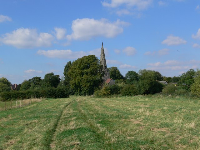
Zouch is a hamlet in south west Nottinghamshire, England. It is located between Hathern and Normanton on Soar and is situated by the River Soar, which marks the county boundary with Leicestershire.Ordnance Survey mapping Most of the hamlet lies in the civil parish of Sutton Bonington, apart from Zouch Farm which falls within Normanton on Soar parish, and the part in Leicestershire which is in Hathern parish. The nearest town is Loughborough. The A6006 road passes through the hamlet and crosses the Soar on Zouch Bridge (alternatively "County Bridge"Loughborough Boat Club location as it spans the county border). The of Zouch is . There is a |
Zouch Lock 2011
Zouch is a hamlet in south west Nottinghamshire, England. It is located between Hathern and Normanton on Soar and is situated by the River Soar, which marks the county boundary with Leicestershire.Ordnance Survey mapping Most of the hamlet lies in the civil parish of Sutton Bonington, apart from Zouch Farm which falls within Normanton on Soar parish, and the part in Leicestershire which is in Hathern parish. The nearest town is Loughborough. The A6006 road passes through the hamlet and crosses the Soar on Zouch Bridge (alternatively "County Bridge"Loughborough Boat Club location as it spans the county border). The of Zouch is . There is a |
Sutton Bonington
Sutton Bonington () is a village and civil parish lying along the valley of the River Soar in the Borough of Rushcliffe, south-west Nottinghamshire, England. The University of Nottingham has a site just to the north of the village: Sutton Bonington Campus. The parish covers some Sutton Bonington Local History Society Remember Sutton Bonington and includes the hamlet of . The population at the 2011 census was 2,202, excluding the students at the university campus who bring the total to over 2,200 in term time. The River Soar is the |
Leicestershire
Leicestershire ( ; postal abbreviation Leics.) is a ceremonial and non-metropolitan county in the East Midlands, England. The county borders Nottinghamshire to the north, Lincolnshire to the north-east, Rutland to the east, Northamptonshire to the south-east, Warwickshire to the south-west, Staffordshire to the west, and Derbyshire to the north-west. The border with most of Warwickshire is Watling Street, the modern A5 road (Great Britain), A5 road. Leicestershire takes its name from the city of Leicester located at its centre and unitary authority, administered separately from the rest of the county. The ceremonial county – the non-metropolitan county plus the city of Leicester – has a total population of just over 1 million (2016 estimate), more than half of which lives in the Leicester Urban Area. History Leicestershire was recorded in the Domesday Book in four wapentakes: Guthlaxton, Framland, Goscote, and Gartree (hundred), Gartree. These later became hundred ... [...More Info...] [...Related Items...] OR: [Wikipedia] [Google] [Baidu] |
Loughborough
Loughborough ( ) is a market town in the Charnwood borough of Leicestershire, England, the seat of Charnwood Borough Council and Loughborough University. At the 2011 census the town's built-up area had a population of 59,932 , the second largest in the county after Leicester. It is close to the Nottinghamshire border and short distances from Leicester, Nottingham, East Midlands Airport and Derby. It has the world's largest bell foundry, John Taylor Bellfounders, which made bells for the Carillon War Memorial, a landmark in the Queens Park in the town, of Great Paul for St Paul's Cathedral, and for York Minster. History Medieval The earliest reference to Loughborough occurs in the Domesday Book of 1086, which calls it ''Lucteburne''. It appears as ''Lucteburga'' in a charter from the reign of Henry II, and as ''Luchteburc'' in the Pipe Rolls of 1186. The name is of Old English origin and means "Luhhede's ''burh'' or fortified place". Industrialisation The first sign of in ... [...More Info...] [...Related Items...] OR: [Wikipedia] [Google] [Baidu] |
Hathern
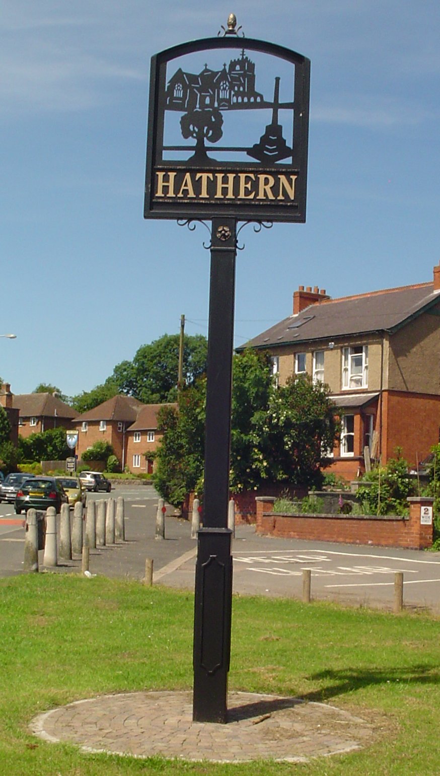
Hathern is a village and civil parish in the Charnwood district of Leicestershire, England. The village itself is located in the north of the district, and is just north of Loughborough. It is served by the A6. The parish has a population of about 1,800. Nearby places are Dishley, Long Whatton, and Zouch, over the border in Nottinghamshire. Residents of the village have, in recent years, campaigned to prevent the green "wedge" separating Loughborough, Shepshed and Hathern from being built on. The village is home to the Swift Sock Factory, one of only a small number of independent sock manufacturers left in the UK. Notable residents John Heathcoat (1783–1861), inventor and industrialist, operated a textile mill in Hathern (where, in 1808–9, he invented the bobbin net machine, for weaving a lace-like hexagonal net), before moving his business first to Loughborough, and later to Tiverton, Devon. History A settlement probably existed here in the Saxon period but the ... [...More Info...] [...Related Items...] OR: [Wikipedia] [Google] [Baidu] |
River Soar
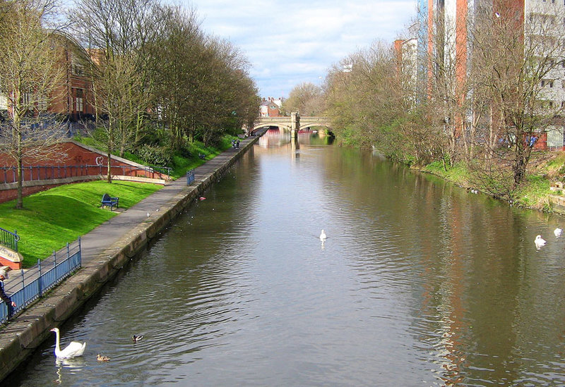
The River Soar () is a major tributary of the River Trent in the English East Midlands and is the principal river of Leicestershire. The source of the river is midway between Hinckley and Lutterworth. The river then flows north through Leicester, where it is joined by the Grand Union Canal. Continuing on through the Leicestershire Soar Valley, it passes Loughborough and Kegworth until it reaches the Trent at the county boundary. In the 18th century, the Soar was made navigable, initially between Loughborough and the Trent, and then through to Leicester. It was not until the early 19th century that it was linked by the Grand Union Canal to the wider network to the south and to London. Name The name of the ''Soar'' is included in a family of old river-names derived from a root ''*ser-'' "to flow", alongside (among others) ''Saravus'' (''Soar'', a tributary of the Moselle in Belgium), ''Sera'' (''la Serre'', ''la Cère'' and ''le Séran'', three rivers in France), ''Serantia'' ( ... [...More Info...] [...Related Items...] OR: [Wikipedia] [Google] [Baidu] |
Normanton On Soar
Normanton on Soar (), formerly known as Normanton-upon-Soar and known locally as Normanton, is a village and civil parish in the south of Nottinghamshire in England near the River Soar. This historic village is home to one of the last operating chain ferries in the country, the only lived in cruck building in Nottinghamshire and a 13th-century Grade I listed parish Church. Description Setting The ancient parish of Normanton on Soar occupies 1,449 acres about 13 miles south-west of Nottingham. Nearby villages include Zouch, Sutton Bonington, and Stanford on Soar. The post town for Normanton is Loughborough leading to the confusion of being in Nottinghamshire but with a Leicestershire post code. Normanton on Soar is situated in the Soar Valley (previously also known as the 'vale of the Soar'). The Parish is mostly made up of farmland, and contains seven farms. The village is situated along the River Soar and extends uphill north-eastwards towards East Leake. White's Directory ... [...More Info...] [...Related Items...] OR: [Wikipedia] [Google] [Baidu] |
Mill Race
A mill race, millrace or millrun, mill lade (Scotland) or mill leat (Southwest England) is the current of water that turns a water wheel, or the channel ( sluice) conducting water to or from a water wheel. Compared with the broad waters of a mill pond, the narrow current is swift and powerful. The race leading to the water wheel on a wide stream or mill pond is called the head race (or headraceDictionary.com, word definition), and the race leading away from the wheel is called the tail raceChamber's Twentieth Century Dictionary, 1968, p=674 (or tailrace). A mill race has many geographically specific names, such as ''leat, lade, flume, goit, penstock''. These words all have more precise definitions and meanings will differ elsewhere. The original undershot waterwheel, described by Vitruvius, was a 'run of the river wheel' placed so a fast flowing stream would press against and turn the bottom of a bucketed wheel. In the first meaning of the term, the millrace was the stream; in t ... [...More Info...] [...Related Items...] OR: [Wikipedia] [Google] [Baidu] |
Old English
Old English (, ), or Anglo-Saxon, is the earliest recorded form of the English language, spoken in England and southern and eastern Scotland in the early Middle Ages. It was brought to Great Britain by Anglo-Saxon settlement of Britain, Anglo-Saxon settlers in the mid-5th century, and the first Old English literature, Old English literary works date from the mid-7th century. After the Norman conquest of 1066, English was replaced, for a time, by Anglo-Norman language, Anglo-Norman (a langues d'oïl, relative of French) as the language of the upper classes. This is regarded as marking the end of the Old English era, since during this period the English language was heavily influenced by Anglo-Norman, developing into a phase known now as Middle English in England and Early Scots in Scotland. Old English developed from a set of Anglo-Frisian languages, Anglo-Frisian or Ingvaeonic dialects originally spoken by Germanic peoples, Germanic tribes traditionally known as the Angles, Sa ... [...More Info...] [...Related Items...] OR: [Wikipedia] [Google] [Baidu] |
Long Whatton Brook
Long may refer to: Measurement * Long, characteristic of something of great duration * Long, characteristic of something of great length * Longitude (abbreviation: long.), a geographic coordinate * Longa (music), note value in early music mensural notation Places Asia * Long District, Laos * Long District, Phrae, Thailand * Longjiang (other) or River Long (lit. "dragon river"), one of several rivers in China * Yangtze River or Changjiang (lit. "Long River"), China Elsewhere * Long, Somme, France * Long, Washington, United States People * Long (surname) * Long (surname 龍) (Chinese surname) Fictional characters * Long (''Bloody Roar''), in the video game series Sports * Long, a fielding term in cricket * Long, in tennis and similar games, beyond the service line during a serve and beyond the baseline during play Other uses * , a U.S. Navy ship name * Long (finance), a position in finance, especially stock markets * Lòng, name for a laneway in Shanghai * Long in ... [...More Info...] [...Related Items...] OR: [Wikipedia] [Google] [Baidu] |
Public House
A pub (short for public house) is a kind of drinking establishment which is licensed to serve alcoholic drinks for consumption on the premises. The term ''public house'' first appeared in the United Kingdom in late 17th century, and was used to differentiate private houses from those which were, quite literally, open to the public as "alehouses", "taverns" and "inns". By Georgian times, the term had become common parlance, although taverns, as a distinct establishment, had largely ceased to exist by the beginning of the 19th century. Today, there is no strict definition, but CAMRA states a pub has four characteristics:GLA Economics, Closing time: London's public houses, 2017 # is open to the public without membership or residency # serves draught beer or cider without requiring food be consumed # has at least one indoor area not laid out for meals # allows drinks to be bought at a bar (i.e., not only table service) The history of pubs can be traced to Roman taverns in B ... [...More Info...] [...Related Items...] OR: [Wikipedia] [Google] [Baidu] |
Elevation
The elevation of a geographic location is its height above or below a fixed reference point, most commonly a reference geoid, a mathematical model of the Earth's sea level as an equipotential gravitational surface (see Geodetic datum § Vertical datum). The term ''elevation'' is mainly used when referring to points on the Earth's surface, while ''altitude'' or ''geopotential height'' is used for points above the surface, such as an aircraft in flight or a spacecraft in orbit, and '' depth'' is used for points below the surface. Elevation is not to be confused with the distance from the center of the Earth. Due to the equatorial bulge, the summits of Mount Everest and Chimborazo have, respectively, the largest elevation and the largest geocentric distance. Aviation In aviation the term elevation or aerodrome elevation is defined by the ICAO as the highest point of the landing area. It is often measured in feet and can be found in approach charts of the aerodrome. It is n ... [...More Info...] [...Related Items...] OR: [Wikipedia] [Google] [Baidu] |


