|
Whitaker Street (Savannah, Georgia)
Whitaker Street is a prominent street in Savannah, Georgia, United States. Located between Barnard Street to the west and Bull Street to the east, it runs for about from West Bay Street in the north to West Victory Drive ( U.S. Route 80) in the south. Its directional flow is one-way (southbound). The street is named for Benjamin Whitaker, surveyor general of South Carolina. Its northern section passes through the Savannah Historic District, a National Historic Landmark District.James Dillon (1977) , National Park Service and Whitaker Street runs beside ten squares. From north to south: ;To the west of: * Johnson Square *Wright Square *Chippewa Square *Madison Square *Monterey Square ;To the east of: * Ellis Square * Telfair Square * Orleans Square *Pulaski Square *Chatham Square It also forms the western boundary of Forsyth Park. Notable buildings and structures Below is a selection of notable buildings and structures on Whitaker Street, all in Savannah's Histor ... [...More Info...] [...Related Items...] OR: [Wikipedia] [Google] [Baidu] |
Savannah, Georgia
Savannah ( ) is the oldest city in the U.S. state of Georgia and is the county seat of Chatham County. Established in 1733 on the Savannah River, the city of Savannah became the British colonial capital of the Province of Georgia and later the first state capital of Georgia. A strategic port city in the American Revolution and during the American Civil War, Savannah is today an industrial center and an important Atlantic seaport. It is Georgia's fifth-largest city, with a 2020 U.S. Census population of 147,780. The Savannah metropolitan area, Georgia's third-largest, had a 2020 population of 404,798. Each year, Savannah attracts millions of visitors to its cobblestone streets, parks, and notable historic buildings. These buildings include the birthplace of Juliette Gordon Low (founder of the Girl Scouts of the USA), the Georgia Historical Society (the oldest continually operating historical society in the South), the Telfair Academy of Arts and Sciences (one of the S ... [...More Info...] [...Related Items...] OR: [Wikipedia] [Google] [Baidu] |
Ellis Square (Savannah, Georgia)
Ellis Square is one of the 22 squares of Savannah, Georgia, United States. It is located in the northernmost row of the city's five rows of squares, on Barnard Street and West St. Julian Street, and was one of the first four squares laid out. Today, it marks the western end of City Market. The square is east of Franklin Square, west of Johnson Square and north of Telfair Square. The oldest building on the square is the Thomas Gibbons Range, at 102–116 West Congress Street, which dates to 1820. Decker Square, as it was originally known, was laid out in 1733 as part of Decker Ward, the third ward created in Savannah. The ward and square were named for Sir Matthew Decker, one of the Trustees for the Establishment of the Colony of Georgia in America, Commissioner of funds collection for the Trust, director and governor of the East India Company, and member of Parliament. The square was renamed for Sir Henry Ellis, the second Royal Governor of the colony of Georgia. It was al ... [...More Info...] [...Related Items...] OR: [Wikipedia] [Google] [Baidu] |
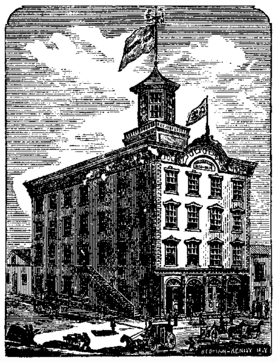
Downtown Buildings -- The Citizens And Southern Bank, Savannah, Ga
''Downtown'' is a term primarily used in North America by English speakers to refer to a city's sometimes commercial, cultural and often the historical, political and geographic heart. It is often synonymous with its central business district (CBD). Downtowns typically contain a small percentage of a city’s employment. In some metropolitan areas it is marked by a cluster of tall buildings, cultural institutions and the convergence of rail transit and bus lines. In British English, the term "city centre" is most often used instead. History Origins The Oxford English Dictionary's first citation for "down town" or "downtown" dates to 1770, in reference to the center of Boston. Some have posited that the term "downtown" was coined in New York City, where it was in use by the 1830s to refer to the original town at the southern tip of the island of Manhattan.Fogelson, p. 10. As the town of New York grew into a city, the only direction it could grow on the island was toward the ... [...More Info...] [...Related Items...] OR: [Wikipedia] [Google] [Baidu] |
Savannah Morning News
The ''Savannah Morning News'' is a daily newspaper in Savannah, Georgia. It is published by Gannett. The motto of the paper is "Light of the Coastal Empire and Lowcountry". The paper serves Savannah, its metropolitan area, and parts of South Carolina. History William Tappan Thompson, author of the ''Major Jones'' series of humorous stories, along with John McKinney Cooper as publisher and owner, founded the paper on January 15, 1850 as the ''Daily Morning News''. At the end of the Civil War in 1865, John Cooper was pardoned by President Andrew Johnson allowing him to retain ownership of the paper. Its name was changed to the ''Daily News and Herald'', though Thompson remained as editor. Thompson left the paper in 1867 to travel in Europe. In 1868, Thompson returned and the paper was renamed again to ''The Savannah Daily Morning News'' for one edition, then changed to the current name the following day. In 1870, Joel Chandler Harris, who later went on to write the Uncle Remus ... [...More Info...] [...Related Items...] OR: [Wikipedia] [Google] [Baidu] |
Forsyth Park
Forsyth Park (formerly known as the Military Parade Ground)''Charles Seton Henry Hardee's Recollections of old Savannah'', Martha Gallaudet Waring, ''The Georgia Historical Quarterly'', JSTOR (1929), p. 34 is a large city park that occupies in the historic district of Savannah, Georgia, United States. The park is bordered by Gaston Street to the north, Drayton Street to the east, Park Avenue to the south and Whitaker Street to the west. It contains walking paths, a children's play area, a Fragrant Garden for the blind, a large fountain, tennis courts, basketball courts, areas for soccer and Frisbee, and home field for Savannah Shamrocks Rugby Club. From time to time, there are concerts held at Forsyth to the benefit of the public. Development The park was originally created in the 1840s on of land donated by William Brown Hodgson. In 1851, the park was expanded and named for Georgia Governor John Forsyth. By 1853, all original planned wards of Savannah were occupied. A large ... [...More Info...] [...Related Items...] OR: [Wikipedia] [Google] [Baidu] |
Chatham Square (Savannah, Georgia)
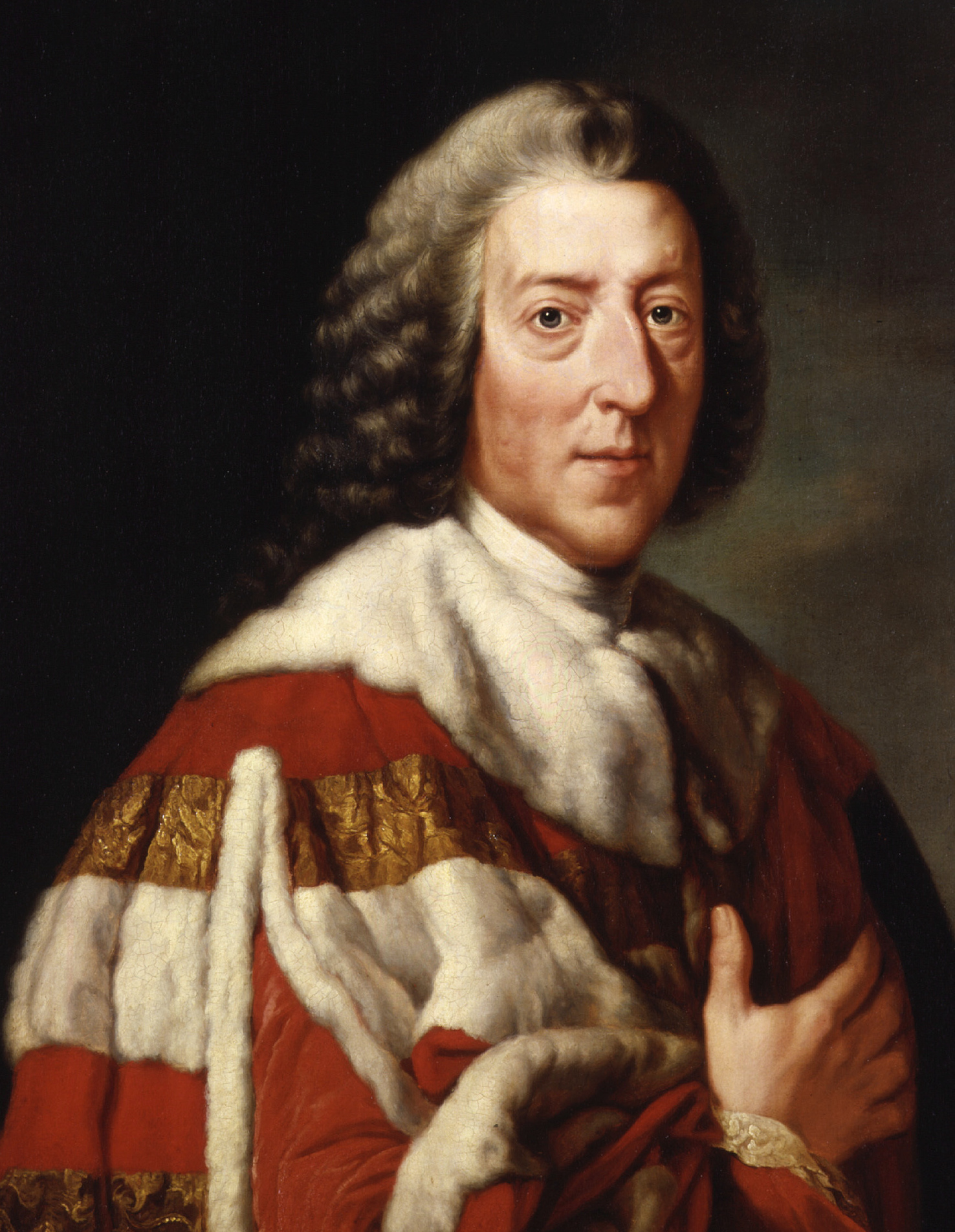
Chatham Square is one of the 22 squares of Savannah, Georgia, United States. It is located in the southernmost row of the city's five rows of squares, on Barnard Street and West Wayne Street, and was laid out in 1847. It is south of Pulaski Square and west of Monterey Square in the southwestern corner of the city's grid of squares. The square is named for William Pitt, 1st Earl of Chatham. Although Pitt never visited Savannah, he was an early supporter of the Georgia colony, and both Chatham Square and Chatham County are named in his honor.Chatham Square – Savannah.com The oldest building on the square is the Enoch Hendry Row House, at 108–112 West Taylor Street, which dates to 1851. Chatham Square is sometimes known locally as ''Barnard'' Square, in reference to the 1901-built Barnard Street School (which actually sta ... [...More Info...] [...Related Items...] OR: [Wikipedia] [Google] [Baidu] |
Pulaski Square (Savannah, Georgia)
Pulaski Square is one of the 22 squares of Savannah, Georgia, United States. It is located in the fourth row of the city's five rows of squares, on Barnard Street and West Macon Street, and was laid out in 1837. It is south of Orleans Square, west of Madison Square and north of Chatham Square. It is known for its live oaks. The oldest buildings on the square are the Theodosius Bartow House (126 West Harris Street) and the Bernard Constantine House (218 West Harris Street), which date to 1839. The square is named for General Casimir Pulaski, a Polish-born Revolutionary War hero who died of wounds received in the siege of Savannah (1779).SavannahBest.com's ‘’Squares of Savannah’‘ accessed June 16, 2007 It is one of the few squares without a monument; General Pulaski's statue (and, likely, his ... [...More Info...] [...Related Items...] OR: [Wikipedia] [Google] [Baidu] |
Orleans Square (Savannah, Georgia)
Orleans Square is one of the 22 squares of Savannah, Georgia, United States. It is located in the middle row of the city's five rows of squares, on Barnard Street and West McDonough Street, and was laid out in 1815, shortly after the event it commemorates: General Andrew Jackson's victory at the Battle of New Orleans that January. It is south of Telfair Square, west of Chippewa Square and north of Pulaski Square. The oldest building on the square is the John Ash House, at 114–116 West Hull Street, which dates to 1817. In the center of the square, the German Memorial Fountain honors early German immigrants to Savannah.Tour Guide Manual for licensed tour guides in the City of Savannah, accessed June 16, 2007. Installed in 1989, it commemorates the 250th anniversary of Georgia and of Savannah, as well ... [...More Info...] [...Related Items...] OR: [Wikipedia] [Google] [Baidu] |
Telfair Square (Savannah, Georgia)
Telfair Square is one of the 22 squares of Savannah, Georgia, United States. It is located in the second row of the city's five rows of squares, on Barnard Street and West President Street, and was laid out in 1733 as one of the first four squares. It is south of Ellis Square, west of Wright Square and north of Orleans Square. Liberty Square formerly stood to its west but was later paved over. The oldest building on the square is Telfair Academy, at 121 Barnard Street, which dates to 1818–1820. Originally named St. James Square, in honor of a green space in London, and marked one of the most fashionable neighborhoods in early Savannah,Chan Sieg (1984). ''The squares: an introduction to Savannah''. Virginia Beach: Donning. it was renamed in 1883 to honor the Telfair family.''Savannah Scene'' magazine, May–June 2007, pp 10–11, acces ... [...More Info...] [...Related Items...] OR: [Wikipedia] [Google] [Baidu] |
Monterey Square (Savannah, Georgia)
Monterey Square is one of the Squares of Savannah, Georgia, 22 squares of Savannah, Georgia, United States. It is located in the southernmost row of the city's five rows of squares, on Bull Street and Wayne Street, and was laid out in 1847. It is south of Madison Square (Savannah, Georgia), Madison Square, west of Calhoun Square (Savannah, Georgia), Calhoun Square, north of Forsyth Park and east of Chatham Square (Savannah, Georgia), Chatham Square. The oldest building on the square is the Herman Kuhlman Duplex, at 22–24 West Taylor Street, which dates to 1851. Monterey Square commemorates the Battle of Monterrey (1846), in which American forces under General Zachary Taylor captured the city of Monterrey during the Mexican–American War. (The correct spelling in reference to the square is "Monterey", with a single ''r''.) In the center of the square is Casimir Pulaski Monument in Savannah, an 1853 monument honoring General Casimir Pulaski. Monterey Square is the site of Merc ... [...More Info...] [...Related Items...] OR: [Wikipedia] [Google] [Baidu] |
Bay Street (Savannah, Georgia)
Bay Street is a prominent street in Savannah, Georgia, United States. It runs for about from Main Street in the west to General McIntosh Boulevard in the east. The section passing through Savannah's downtown, between the Bay Street Viaduct in the west and General McIntosh Boulevard in the east, is around long. Formerly known as "Bay Street" singular (and originally North Broad Street), it is now denoted as "West Bay Street" and "East Bay Street", the split occurring at Savannah City Hall at the head of Bull Street. West Bay Street begins in the industrial western side of the city, where it is part of Georgia State Route 25 (before turning south onto Martin Luther King Jr. Boulevard), then continues along the northern end of Savannah's downtown, where it is lined with historic buildings on its southern side and hotels and a park on its northern side, which is at the edge of the bluff. East of City Hall, the northern side of the street is known as The Strand, punctuated by Em ... [...More Info...] [...Related Items...] OR: [Wikipedia] [Google] [Baidu] |


