|
W. A. Poucher
William Arthur Poucher (1891–1988), known as Walter, a nickname he acquired during his Army service, was one of the leading British mountain photographers and guide book writers during and following World War II. He personally explored and photographed all the routes he describes in his famous mountain guides, so that users can be assured of correct directions. His guides were based on earlier books covering most of the mountainous regions of Britain, but exclude routes on less popular mountains such as the Berwyns in north Wales, and are restricted in areas such as the Black Mountains and Brecon Beacons. He was an accomplished and skilled photographer. He joined the Royal Photographic Society in 1940, achieving Associateship in 1941 and Fellowship (FRPS). He was awarded Honorary Fellowship in 1975. He was also a leading researcher who specialised on the chemistry of perfumes, cosmetics and soaps. Regional books Poucher first started writing during the Second World War wi ... [...More Info...] [...Related Items...] OR: [Wikipedia] [Google] [Baidu] |
Frances Lincoln Publishers
Frances Elisabeth Rosemary Lincoln (20 March 1945 – 26 February 2001) was an English independent publisher of illustrated books. She published under her own name and the company went on to become Frances Lincoln Publishers. In 1995, Lincoln won the ''Woman of the Year for Services to Multicultural Publishing'' award. Education Frances Lincoln went "unhappily" to school in Bedford, moving after a year to St George's School, Harpenden, where she became Head Girl. Her university education was at Somerville College, Oxford. (Somerville at that time was a women's college, known in Oxford as "the bluestocking college".) There she read Greats (the Oxford term for traditional courses in the humanities, with emphasis on the ancient classics of Greece and Rome, including philosophy). A fellow-student, the drug smuggler Howard Marks, described her as "vivacious" in his 1996 autobiography '' Mr. Nice''. Career In 1970, Lincoln started work as an Assistant Editor at the London-based p ... [...More Info...] [...Related Items...] OR: [Wikipedia] [Google] [Baidu] |
Snowdonia
Snowdonia or Eryri (), is a mountainous region in northwestern Wales and a national park of in area. It was the first to be designated of the three national parks in Wales, in 1951. Name and extent It was a commonly held belief that the name is derived from ("eagle"), and thus means "the abode/land of eagles", but recent evidence is that it means ''highlands'', and is related to the Latin (to rise) as leading Welsh scholar Sir proved. The term first appeared in a manuscript in the 9th-century , in an account of the downfall of the semi-legendary 5th-century king (Vortigern). In the Middle Ages, the title ''Prince of Wales and Lord of Snowdonia'' () was used by ; his grandfather used the title ''Prince of north Wales and Lord of Snowdonia.'' The name ''Snowdonia'' derives from '' Snowdon'', the highest mountain in the area and the highest mountain in Wales at . Before the boundaries of the national park were designated, "Snowdonia" was generally used to refer to a sm ... [...More Info...] [...Related Items...] OR: [Wikipedia] [Google] [Baidu] |
George And Ashley Abraham
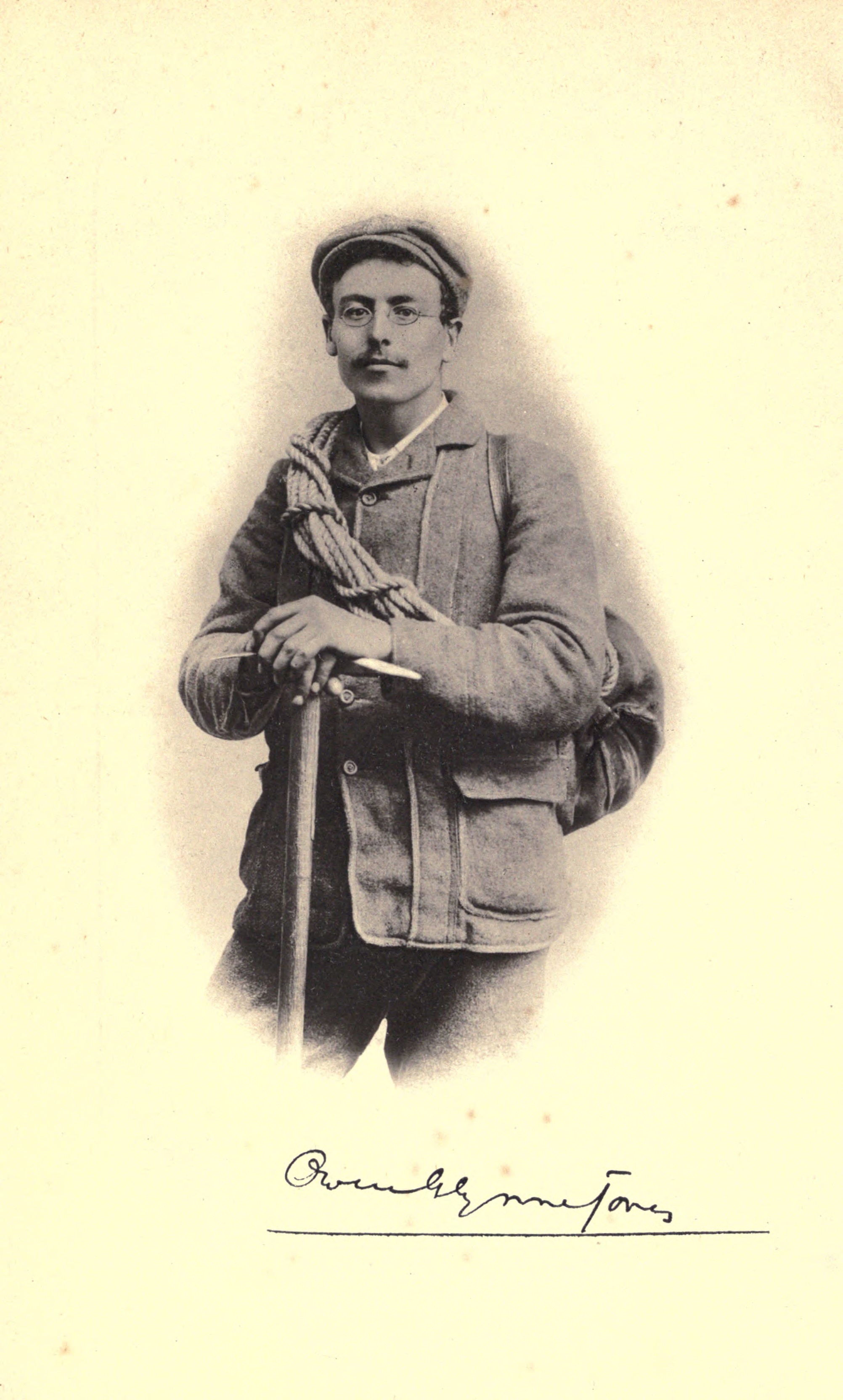
George and Ashley Abraham (George Dixon Abraham, FRPS, 7 October 1871 – 4 March 1965; Ashley Perry Abraham, 20 February 1876 – 9 October 1951), sometimes referred to as "The Keswick Brothers", were climbers, authors and photographers who lived in Keswick, Cumberland in the English Lake District. They made a photographic record of the exploits of many of the climbing pioneers, especially Owen Glynne Jones, with whom they formed a close climbing partnership from 1896 until his death in 1899. Most of their work was done between 1890 and 1920 and forms a valuable record of the evolution of early rock-climbing in the English Lake District. Early life They were the two eldest of four sons of George Perry Abraham (1844–1923), a photographer, postcard publisher, and mountaineer, and his wife Mary Dixon. Their brother Sidney was a bank manager in Keswick, and brother John Abraham became acting Governor of Tanganyika. Rock climbing One of their many first ascents in the Lakes w ... [...More Info...] [...Related Items...] OR: [Wikipedia] [Google] [Baidu] |
West Country
The West Country (occasionally Westcountry) is a loosely defined area of South West England, usually taken to include all, some, or parts of the counties of Cornwall, Devon, Dorset, Somerset, Bristol, and, less commonly, Wiltshire, Gloucestershire and Herefordshire. "Which counties make up the West Country?", ''YouGov.co.uk'', 23 October 2019 Retrieved 22 June 2021 The West Country has a distinctive regional English dialect and accent, and is also home to the . Extent ...
|
North-West Highlands
The Northwest Highlands are located in the northern third of Scotland that is separated from the Grampian Mountains by the Great Glen (Glen More). The region comprises Wester Ross, Assynt, Sutherland and part of Caithness. The Caledonian Canal, which extends from Loch Linnhe in the south-west, via Loch Ness to the Moray Firth in the north-east splits this area from the rest of the country. The city of Inverness and the town of Fort William serve as gateways to the region from the south. Geology The geology of the Highlands is complex. Along the western coastal margin it is characterised by Lewisian gneiss, the oldest rock in Scotland. Liathach, Beinn Alligin, Suilven, Cùl Mòr, Cùl Beag, and Quinag are just some of the impressive rock islands of the significantly younger rich brown-coloured Torridonian sandstone which rests on the gneiss. Some of the peaks, such as Beinn Eighe and Canisp, are topped with later light grey or white Cambrian quartzite. Cambro-Ordovician limestone ... [...More Info...] [...Related Items...] OR: [Wikipedia] [Google] [Baidu] |
Dolomites
The Dolomites ( it, Dolomiti ; Ladin: ''Dolomites''; german: Dolomiten ; vec, Dołomiti : fur, Dolomitis), also known as the Dolomite Mountains, Dolomite Alps or Dolomitic Alps, are a mountain range located in northeastern Italy. They form part of the Southern Limestone Alps and extend from the River Adige in the west to the Piave Valley (Pieve di Cadore) in the east. The northern and southern borders are defined by the Puster Valley and the Sugana Valley (Italian: ''Valsugana''). The Dolomites are located in the regions of Veneto, Trentino-Alto Adige/Südtirol and Friuli Venezia Giulia, covering an area shared between the provinces of Belluno, Vicenza, Verona, Trentino, South Tyrol, Udine and Pordenone. Other mountain groups of similar geological structure are spread along the River Piave to the east – ''Dolomiti d'Oltrepiave''; and far away over the Adige River to the west – ''Dolomiti di Brenta'' (Western Dolomites). A smaller group is called ''Piccole Dolomiti'' (Li ... [...More Info...] [...Related Items...] OR: [Wikipedia] [Google] [Baidu] |
Skye
The Isle of Skye, or simply Skye (; gd, An t-Eilean Sgitheanach or ; sco, Isle o Skye), is the largest and northernmost of the major islands in the Inner Hebrides of Scotland. The island's peninsulas radiate from a mountainous hub dominated by the Cuillin, the rocky slopes of which provide some of the most dramatic mountain scenery in the country. Slesser (1981) p. 19. Although has been suggested to describe a winged shape, no definitive agreement exists as to the name's origins. The island has been occupied since the Mesolithic period, and over its history has been occupied at various times by Celtic tribes including the Picts and the Gaels, Scandinavian Vikings, and most notably the powerful integrated Norse-Gaels clans of MacLeod and MacDonald. The island was considered to be under Norwegian suzerainty until the 1266 Treaty of Perth, which transferred control over to Scotland. The 18th-century Jacobite risings led to the breaking-up of the clan system and later clearanc ... [...More Info...] [...Related Items...] OR: [Wikipedia] [Google] [Baidu] |
Surrey Hills AONB
The Surrey Hills is a Area of Outstanding Natural Beauty (AONB), which principally covers parts of the North Downs and Greensand Ridge in Surrey, England (approximately one quarter of the land area of the county). The AONB was designated in 1958 and adjoins the Kent Downs AONB to the east and the South Downs National Park in the south west. Geography The highest summit of the Surrey Hills AONB, Leith Hill near Coldharbour, is above sea level. It is part of the Greensand Ridge, which traverses the AONB from west to east, and is the second highest point in southeast England (Walbury Hill at 297 metres (974 ft) above sea level is the highest). Blackheath Common is also part of this area. The northern ridge of these hills, predominantly formed by chalk, is separated by the Vale of Holmesdale which continues into Kent from the southern ridges which are predominantly greensand. They provide a haven for rare plants and insects. Parts of the area are owned and managed by the Nation ... [...More Info...] [...Related Items...] OR: [Wikipedia] [Google] [Baidu] |
Cairngorms
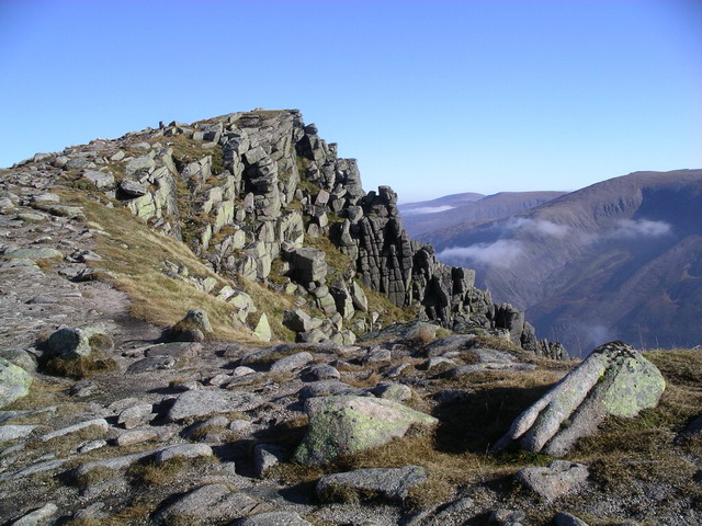
The Cairngorms ( gd, Am Monadh Ruadh) are a mountain range in the eastern Highlands of Scotland closely associated with the mountain Cairn Gorm. The Cairngorms became part of Scotland's second national park (the Cairngorms National Park) on 1 September 2003. Although the Cairngorms give their name to, and are at the heart of, the Cairngorms National Park, they only form one part of the national park, alongside other hill ranges such as the Angus Glens and the Monadhliath, and lower areas like Strathspey. The Cairngorms consists of high plateaux at about above sea level, above which domed summits (the eroded stumps of once much higher mountains ) rise to around . Many of the summits have tors, free-standing rock outcrops that stand on top of the boulder-strewn landscape. In places, the edges of the plateau form steep cliffs of granite and they are excellent for skiing, rock climbing and ice climbing. The Cairngorms form an arctic-alpine mountain environment, with tundra-like ... [...More Info...] [...Related Items...] OR: [Wikipedia] [Google] [Baidu] |
Dovedale
Dovedale is a valley in the Peak District of England. The land is owned by the National Trust and attracts a million visitors annually. The valley was cut by the River Dove, Central England, River Dove and runs for just over between Milldale in the north and a wooded ravine, near Thorpe Cloud and Bunster Hill, in the south. In the wooded ravine, a set of stepping stones cross the river and there are two caves known as the ''Dove Holes''. Dovedale's other attractions include rock pillars such as ''Ilam Rock'', ''Viator's Bridge'' and the limestone features ''Lovers' Leap'' and ''Reynard's Cave''. Geology The limestone rock that forms the geology of Dovedale is the fossilised remains of sea creatures that lived in a shallow sea over the area during the Carboniferous period, about 350 million years ago. During the two ice ages, the limestone rock (known as reef limestone) was cut into craggy shapes by glacial meltwater, and dry caves such as Dove Holes and Reynard's Kitchen C ... [...More Info...] [...Related Items...] OR: [Wikipedia] [Google] [Baidu] |
Kinder Scout
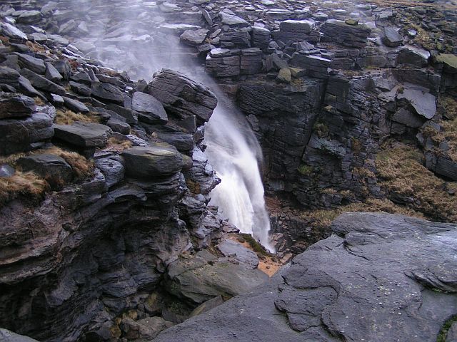
Kinder Scout is a moorland plateau and national nature reserve in the Dark Peak of the Derbyshire Peak District in England. Part of the moor, at above sea level, is the highest point in the Peak District, in Derbyshire and the East Midlands; this summit is sometimes simply called the Peak. In excellent weather conditions, the city of Manchester and the Greater Manchester conurbation can be seen from the western edges, as well as Winter Hill near Bolton and the mountains of Snowdonia in North Wales. To the north, across the Snake Pass, lie the high moors of Bleaklow and Black Hill, which are of similar elevation. Kinder Scout featured on the BBC television programme ''Seven Natural Wonders'' (2005) as one of the wonders of the Midlands; however, it is considered by many to be in Northern England, lying between the cities of Manchester and Sheffield. In chronostratigraphy, the British sub-stage of the Carboniferous period, the ''Kinderscoutian'', derives its name from Kinder ... [...More Info...] [...Related Items...] OR: [Wikipedia] [Google] [Baidu] |
Ben Cruachan
Ben Cruachan ( gd, Cruachan Beann) is a mountain that rises to , the highest in Argyll and Bute, Scotland. It gives its name to the Cruachan Dam, a pumped-storage hydroelectric power station located in a cavern inside the mountain. It is the high point of a ring of mountains, known as the Cruachan Horseshoe, that surrounds the power station reservoir. The horseshoe includes a further Munro ( Stob Diamh), a Corbett ( Beinn a' Bhuiridh), and several subsidiary summits. "Cruachan!" is the battle cry of Highland clans Campbell and MacIntyre. See also * Ben Cruachan Quarry Branch * Cailleach * Falls of Cruachan railway station * List of Munro mountains * Mountains and hills of Scotland Scotland is the most mountainous country in the United Kingdom. Scotland's mountain ranges can be divided in a roughly north to south direction into: the Scottish Highlands, the Central Belt and the Southern Uplands, the latter two primarily belo ... References External links * Compu ... [...More Info...] [...Related Items...] OR: [Wikipedia] [Google] [Baidu] |


