|
TIROS
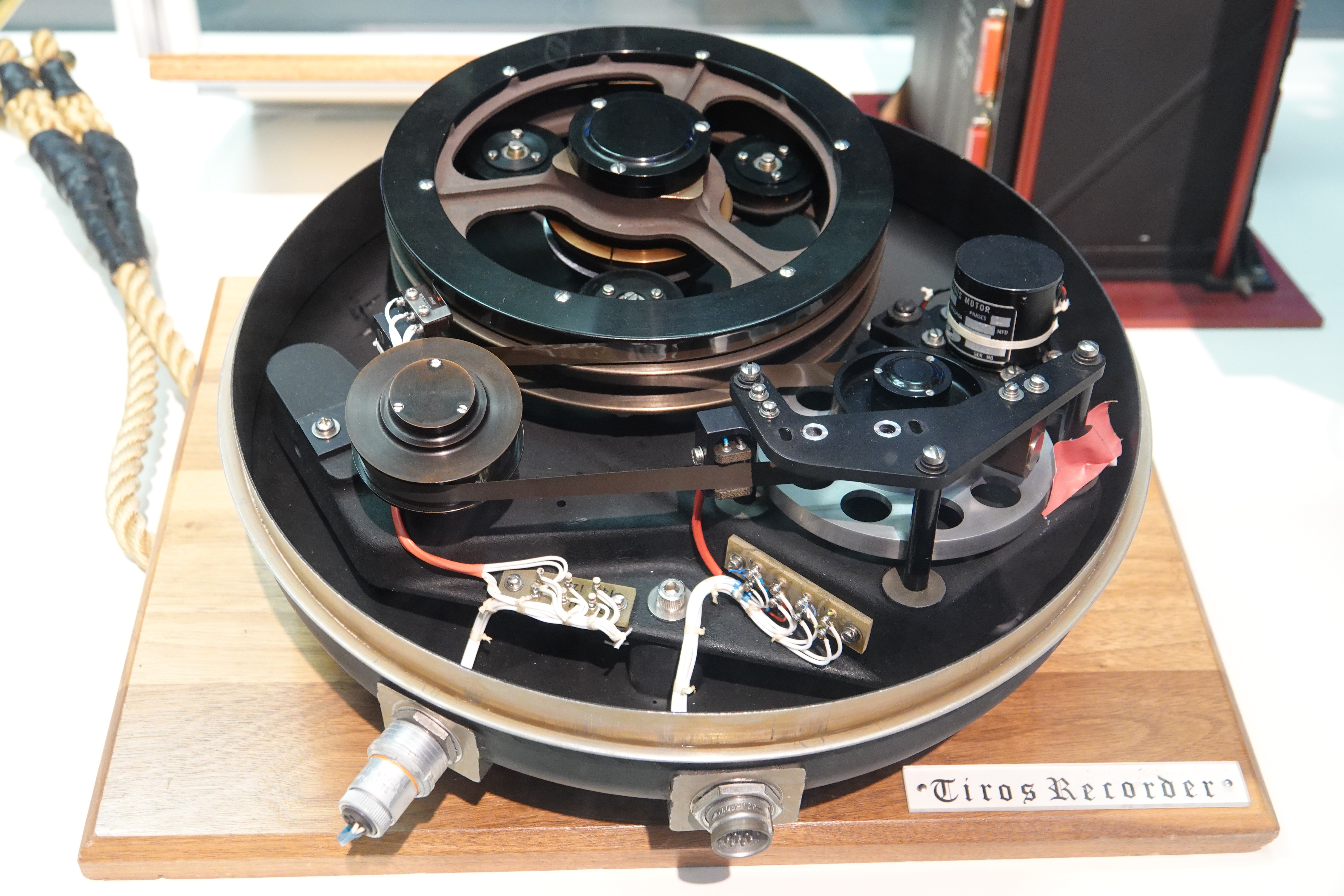
TIROS, or Television InfraRed Observation Satellite, is a series of early weather satellites launched by the United States, beginning with TIROS-1 in 1960. TIROS was the first satellite that was capable of remote sensing of the Earth, enabling scientists to view the Earth from a new perspective: space. The program, promoted by Harry Wexler, proved the usefulness of satellite weather observation, at a time when military reconnaissance satellites were secretly in development or use. TIROS demonstrated at that time that "the key to genius is often simplicity". TIROS is an acronym of "Television InfraRed Observation Satellite" and is also the plural of "tiro" which means "a young soldier, a beginner". Participants in the TIROS project included the National Aeronautics and Space Administration (NASA), United States Army Signal Research and Development Laboratory, Radio Corporation of America (RCA), the United States Weather Bureau Service, the United States Naval Photographic I ... [...More Info...] [...Related Items...] OR: [Wikipedia] [Google] [Baidu] |
TIROS-1
TIROS-1 (or TIROS-A) was the first full-scale weather satellite (the Vanguard 2 satellite was the first experimental/prototype weather satellite), the first of a series of Television Infrared Observation Satellites placed in low Earth orbit. Program The TIROS Program was NASA's first experimental step to determine if satellites could be useful in the study of the Earth. At that time, the effectiveness of satellite observations was still unproven. Since satellites were a new technology, the TIROS Program also tested various design issues for spacecraft: instruments, data and operational parameters. The goal was to improve satellite applications for Earth-bound decisions, such as "should we evacuate the coast because of the hurricane?". The TIROS-1 Program's first priority was the development of a meteorological satellite information system. Weather forecasting was deemed the most promising application of space-based observations. Spacecraft TIROS 1 was an 18-sided right p ... [...More Info...] [...Related Items...] OR: [Wikipedia] [Google] [Baidu] |
Environmental Science Services Administration
The Environmental Science Services Administration (ESSA) was a United States Federal executive agency created in 1965 as part of a reorganization of the United States Department of Commerce. Its mission was to unify and oversee the meteorological, climatological, hydrographic, and geodetic operations of the United States. It operated until 1970, when it was replaced by the new National Oceanic and Atmospheric Administration (NOAA). The first U.S. Government organization with the word "environment" in its title, ESSA was the first such organization chartered to study the global natural environment as whole, bringing together the study of the oceans with that of both the lower atmosphere and the ionosphere. This allowed the U.S. Government for the first time to take a comprehensive approach to studying the oceans and the atmosphere, also bringing together various technologies – ships, aircraft, satellites, radar, and communications systems – that could operate together in ga ... [...More Info...] [...Related Items...] OR: [Wikipedia] [Google] [Baidu] |
TIROS-N
TIROS-N satellite is the first of the TIROS-N series. It is a weather satellite launched on 13 October 1978. It was designed to become operational during 2 years. Its mass is 734 kilograms. Its perigee to Earth is 829 kilometers. Its apogee is 845 kilometers away from Earth. Its inclination Orbital inclination measures the tilt of an object's orbit around a celestial body. It is expressed as the angle between a reference plane and the orbital plane or axis of direction of the orbiting object. For a satellite orbiting the Earth ... is 98.70°. It was managed by the U.S. National Oceanic and Atmospheric Administration (NOAA); designed and launched by NASA. The spacecraft was 3-axis stabilized. TIROS-N was operated for 868 days until deactivated by NOAA on 27 February 1981. Gallery of cyclones captured by this satellite Image:Tip 14 oct 1979 0553Z TN.jpg, Typhoon Tip (14 October 1979) 2 days after reaching peak intensity. Image:Bob 10 jul 1979 2128Z TN.jpg, Hurr ... [...More Info...] [...Related Items...] OR: [Wikipedia] [Google] [Baidu] |
TIROS-M
TIROS-M, also known as ITOS-1 was a weather satellite operated by the Environmental Science Services Administration (ESSA). It was part of a series of satellites called ITOS, or improved TIROS. TIROS-M was launched on a Delta rocket on January 23, 1970. The launch carried one other satellite, Australis-OSCAR 5 Australis-OSCAR 5 (a.k.a. AO-5) is an amateur radio satellite that was launched into Low Earth Orbit on 23 January 1970 by a Thor Delta launcher from Vandenberg Air Force Base, Lompoc, California. AO-5 was launched piggyback with TIROS-M (ITOS .... It was deactivated on June 18, 1971. References 1970 in spaceflight Weather satellites of the United States Spacecraft launched in 1970 {{US-spacecraft-stub ... [...More Info...] [...Related Items...] OR: [Wikipedia] [Google] [Baidu] |
Weather Satellite
A weather satellite or meteorological satellite is a type of Earth observation satellite that is primarily used to monitor the weather and climate of the Earth. Satellites can be polar orbiting (covering the entire Earth asynchronously), or geostationary (hovering over the same spot on the equator). While primarily used to detect the development and movement of storm systems and other cloud patterns, meteorological satellites can also detect other phenomena such as city lights, fires, effects of pollution, auroras, sand and dust storms, snow cover, ice mapping, boundaries of ocean currents, and energy flows. Other types of environmental information are collected using weather satellites. Weather satellite images helped in monitoring the volcanic ash cloud from Mount St. Helens and activity from other volcanoes such as Mount Etna. Smoke from fires in the western United States such as Colorado and Utah have also been monitored. El Niño and its effects on weather are moni ... [...More Info...] [...Related Items...] OR: [Wikipedia] [Google] [Baidu] |
NOAA-19
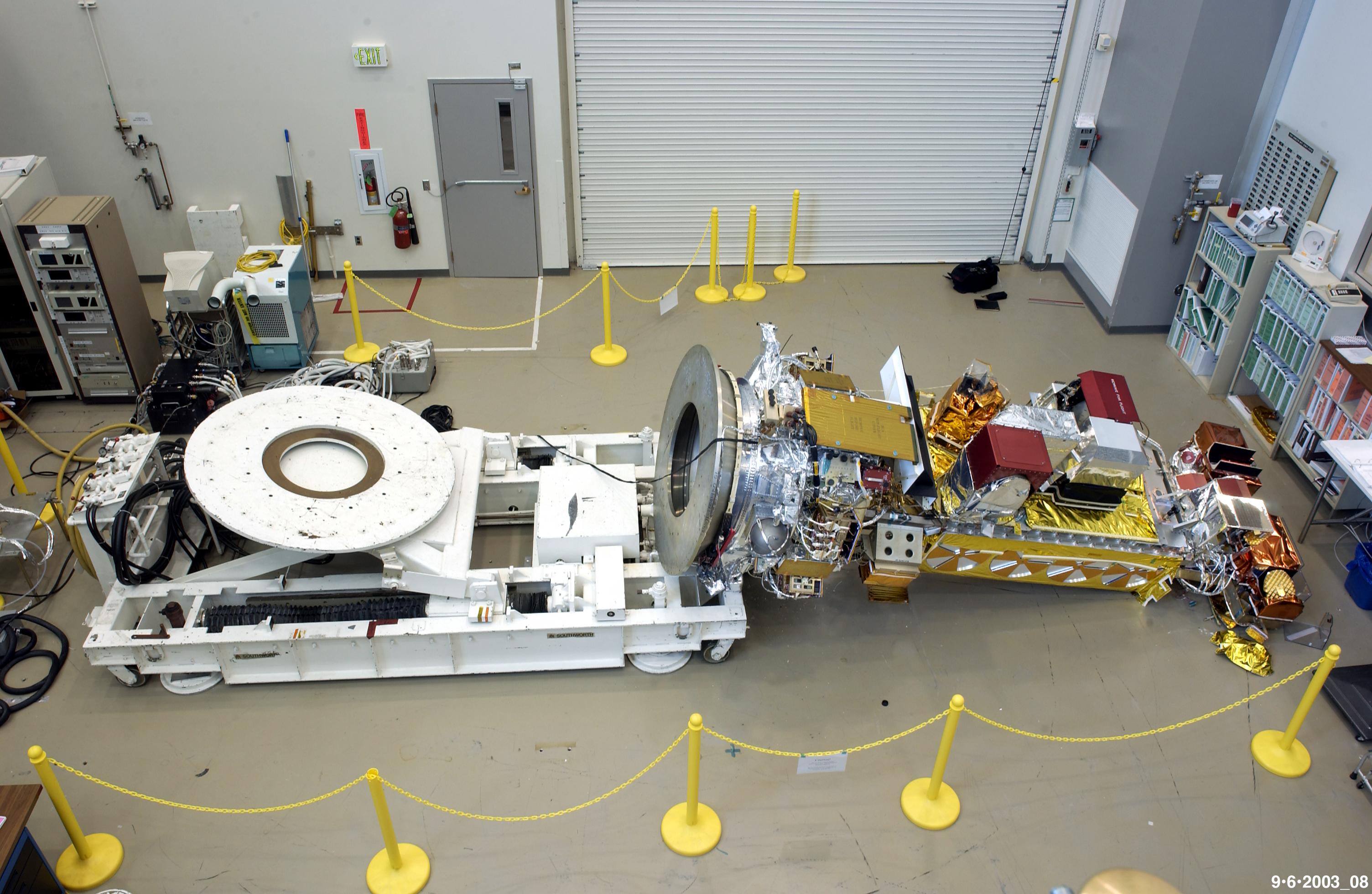
NOAA-19, known as NOAA-N' (NOAA-N Prime) before launch, is the last of the American National Oceanic and Atmospheric Administration (NOAA) series of weather satellites. NOAA-19 was launched on 6 February 2009. NOAA-19 is in an afternoon Sun-synchronous orbit and is intended to replace NOAA-18 as the prime afternoon spacecraft. Launch On 4 November 2008, NASA announced that the satellite had arrived at Vandenberg aboard a Lockheed C-5 Galaxy military transport aircraft. Installation of the payload fairing took place 27 January 2009; second stage propellant was loaded on 31 January 2009. Several attempts were made to conduct the launch. The first attempt, 4 February 2009, was scrubbed after a failure was detected in a launch pad gaseous nitrogen pressurization system. The second attempt, 5 February 2009, was scrubbed after the failure of a payload fairing air conditioning compressor, which is also part of the ground support equipment at the launch pad. The satellite was s ... [...More Info...] [...Related Items...] OR: [Wikipedia] [Google] [Baidu] |
Harry Wexler
Harry Wexler (March 15, 1911 – August 11, 1962) was an American meteorologist, born in Fall River, Massachusetts. Biography Wexler attended Harvard University, and in 1939 he was awarded a Ph.D. in meteorology under Carl-Gustaf Rossby from the Massachusetts Institute of Technology. He worked for the United States Weather Bureau from 1934 until 1942, then served as a Captain to a Lieutenant Colonel with the weather service of the Army Air Corps during World War II from 1942 until 1946. On September 14, 1944, Major Harry Wexler became the first scientist to deliberately fly into a hurricane. He accompanied a flight of a Douglas A-20 "Havoc" that flew into the hurricane to collect scientific data. In 1946 he returned to the U.S. Weather Bureau, becoming Chief of the Scientific Services division. As head researcher, Wexler encouraged a study into the atmospheres of planets other than the Earth. He is particularly noted for his work on the use of satellites for meteorological pu ... [...More Info...] [...Related Items...] OR: [Wikipedia] [Google] [Baidu] |
National Oceanic And Atmospheric Administration
The National Oceanic and Atmospheric Administration (abbreviated as NOAA ) is an United States scientific and regulatory agency within the United States Department of Commerce that forecasts weather, monitors oceanic and atmospheric conditions, charts the seas, conducts deep sea exploration, and manages fishing and protection of marine mammals and endangered species in the U.S. exclusive economic zone. Purpose and function NOAA's specific roles include: * ''Supplying Environmental Information Products''. NOAA supplies to its customers and partners information pertaining to the state of the oceans and the atmosphere, such as weather warnings and forecasts via the National Weather Service. NOAA's information services extend as well to climate, ecosystems, and commerce. * ''Providing Environmental Stewardship Services''. NOAA is a steward of U.S. coastal and marine environments. In coordination with federal, state, local, tribal and international authorities, NOAA manages th ... [...More Info...] [...Related Items...] OR: [Wikipedia] [Google] [Baidu] |
NASA
The National Aeronautics and Space Administration (NASA ) is an independent agency of the US federal government responsible for the civil space program, aeronautics research, and space research. NASA was established in 1958, succeeding the National Advisory Committee for Aeronautics (NACA), to give the U.S. space development effort a distinctly civilian orientation, emphasizing peaceful applications in space science. NASA has since led most American space exploration, including Project Mercury, Project Gemini, the 1968-1972 Apollo Moon landing missions, the Skylab space station, and the Space Shuttle. NASA supports the International Space Station and oversees the development of the Orion spacecraft and the Space Launch System for the crewed lunar Artemis program, Commercial Crew spacecraft, and the planned Lunar Gateway space station. The agency is also responsible for the Launch Services Program, which provides oversight of launch operations and countdow ... [...More Info...] [...Related Items...] OR: [Wikipedia] [Google] [Baidu] |
Meteorology
Meteorology is a branch of the atmospheric sciences (which include atmospheric chemistry and physics) with a major focus on weather forecasting. The study of meteorology dates back millennia, though significant progress in meteorology did not begin until the 18th century. The 19th century saw modest progress in the field after weather observation networks were formed across broad regions. Prior attempts at prediction of weather depended on historical data. It was not until after the elucidation of the laws of physics, and more particularly in the latter half of the 20th century the development of the computer (allowing for the automated solution of a great many modelling equations) that significant breakthroughs in weather forecasting were achieved. An important branch of weather forecasting is marine weather forecasting as it relates to maritime and coastal safety, in which weather effects also include atmospheric interactions with large bodies of water. Meteorological ph ... [...More Info...] [...Related Items...] OR: [Wikipedia] [Google] [Baidu] |
Thor-Able
The Thor-Able was an American expendable launch system and sounding rocket used for a series of re-entry vehicle tests and satellite launches between 1958 and 1960. It was a two-stage rocket, consisting of a Thor IRBM as a first stage and a Vanguard-derived Able second stage. On some flights, an Altair solid rocket motor was added as a third stage. It was a member of the Thor family and an early predecessor of the Delta. Launches Sixteen Thor-Able were launched, nine on sub-orbital re-entry vehicle test flights and seven on orbital satellite launch attempts. Six launches resulted in failures, in which three of those failures were the result of an Altair upper stage added to the rocket to allow it to launch the spacecraft onto a trans-lunar trajectory. All sixteen launches occurred from Cape Canaveral Air Force Station Launch Complex 17A. Airframes The Thor-Able vehicle had a stronger airframe than the standard Thor IRBM and had the inertial guidance system replaced by a rad ... [...More Info...] [...Related Items...] OR: [Wikipedia] [Google] [Baidu] |
Shutter (photography)
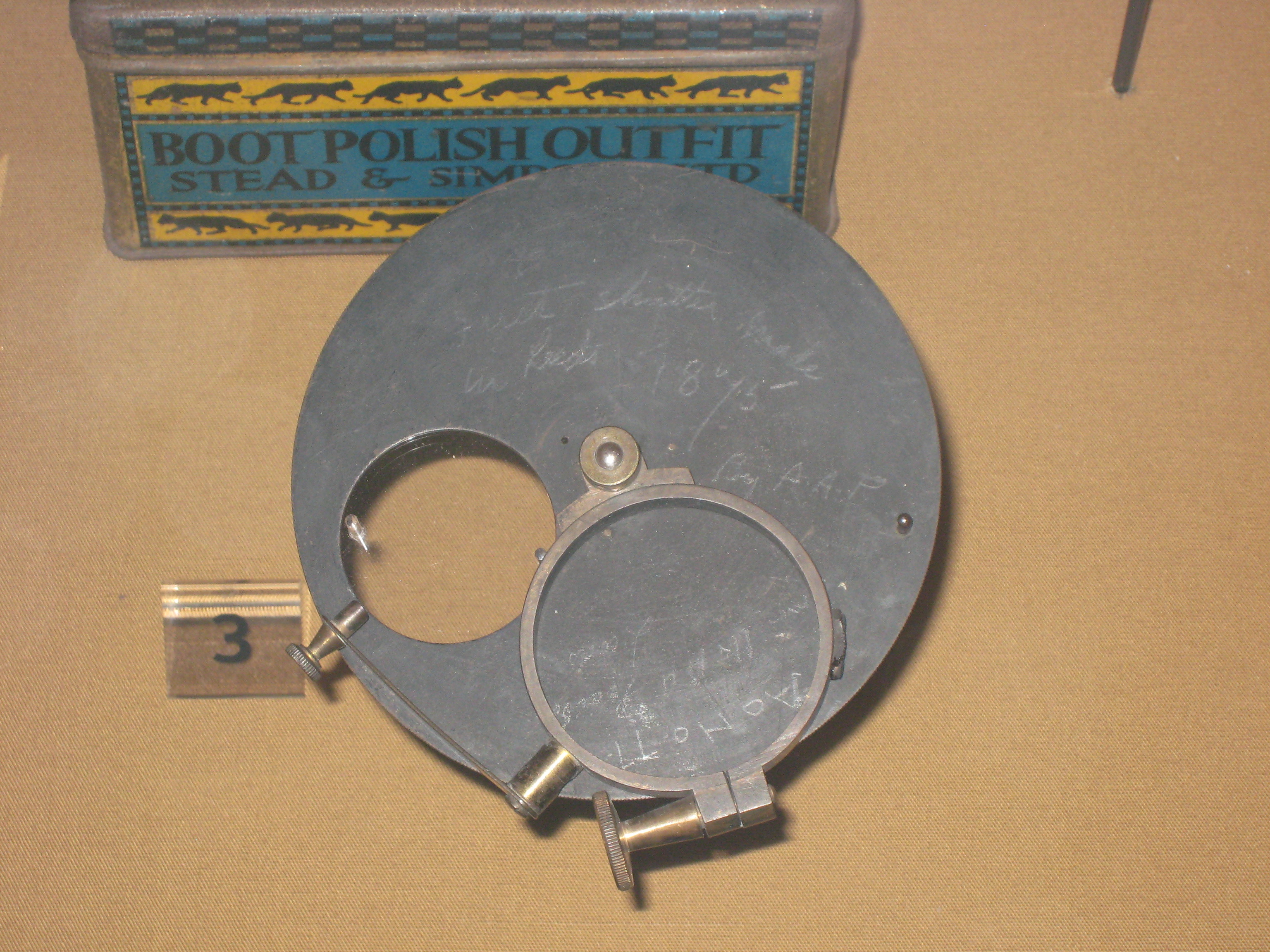
In photography, a shutter is a device that allows light to pass for a determined period, exposing photographic film or a photosensitive digital sensor to light in order to capture a permanent image of a scene. A shutter can also be used to allow pulses of light to pass outwards, as seen in a movie projector or a signal lamp. A shutter of variable speed is used to control exposure time of the film. The shutter is constructed so that it automatically closes after a certain required time interval. The speed of the shutter is controlled by a ring outside the camera, on which various timings are marked. Camera shutter Camera shutters can be fitted in several positions: * Leaf shutters are usually fitted within a lens assembly (''central shutter''), or more rarely immediately behind (''behind-the-lens shutter'') or, even more rarely, in front of a lens, and shut off the beam of light where it is narrow. * Focal-plane shutters are mounted near the focal plane and move to uncover the ... [...More Info...] [...Related Items...] OR: [Wikipedia] [Google] [Baidu] |


