|
Terney
Terney (russian: Терне́й) is an urban locality (an urban-type settlement) and the administrative center of Terneysky District of Primorsky Krai, Russia, located on the coast of the Sea of Japan on a small bay of the same name. Population: History The bay on which Terney is located was discovered on June 23, 1787 by Jean-François de La Pérouse on his way from Manila to Avacha Bay along the coast of what he called "the Tartary of the Manchus" (la Tartarie de Mantcheoux) and named, in French, ''Baie de Ternai''. It was named after the French navigator Admiral Charles d'Arsac de Ternay (French: Baie de Ternay). It was here that the French explorers became convinced that the coast visited by Maarten Gerritsz Vries in the ''Castricum'' in 1643 (i.e., in fact, the east coasts of Hokkaido and Sakhalin) was not the mainland, since they were now at the same latitude as the Dutch had been a century and a half before, but the location looked entirely different. La Perouse's s ... [...More Info...] [...Related Items...] OR: [Wikipedia] [Google] [Baidu] |
Terneysky District
Terneysky District (russian: Терне́йский райо́н) is an administrativeLaw #161-KZ and municipalLaw #133-KZ district (raion, one of the twenty-two in Primorsky Krai, Russia. It is located in the north of the krai and borders with Khabarovsk Krai in the north, the Sea of Japan in the east and southeast, the territory of Dalnegorsk Town Under Krai Jurisdiction in the southwest, and with Krasnoarmeysky and Pozharsky Districts in the west. The area of the district is . (Official website of the Legislative Assembly of Primorsky Krai. ''Municipal Formations of Primorsky Krai'') Its is the [...More Info...] [...Related Items...] OR: [Wikipedia] [Google] [Baidu] |
Manchus
The Manchus (; ) are a Tungusic East Asian ethnic group native to Manchuria in Northeast Asia. They are an officially recognized ethnic minority in China and the people from whom Manchuria derives its name. The Later Jin (1616–1636) and Qing (1636–1912) dynasties of China were established and ruled by the Manchus, who are descended from the Jurchen people who earlier established the Jin dynasty (1115–1234) in northern China. Manchus form the largest branch of the Tungusic peoples and are distributed throughout China, forming the fourth largest ethnic group in the country. They can be found in 31 Chinese provincial regions. Among them, Liaoning has the largest population and Hebei, Heilongjiang, Jilin, Inner Mongolia and Beijing have over 100,000 Manchu residents. About half of the population live in Liaoning and one-fifth in Hebei. There are a number of Manchu autonomous counties in China, such as Xinbin, Xiuyan, Qinglong, Fengning, Yitong, Qingyuan, Weichang, Kua ... [...More Info...] [...Related Items...] OR: [Wikipedia] [Google] [Baidu] |
Harbin
Harbin (; mnc, , v=Halbin; ) is a sub-provincial city and the provincial capital and the largest city of Heilongjiang province, People's Republic of China, as well as the second largest city by urban population after Shenyang and largest city by metropolitan population (urban and rural together) in Northeast China. Harbin has direct jurisdiction over nine metropolitan districts, two county-level cities and seven counties, and is the eighth most populous Chinese city according to the 2020 census. The built-up area of Harbin (which consists of all districts except Shuangcheng and Acheng) had 5,841,929 inhabitants, while the total metropolitan population was up to 10,009,854, making it one of the 50 largest urban areas in the world. Harbin, whose name was originally a Manchu word meaning "a place for drying fishing nets", grew from a small rural settlement on the Songhua River to become one of the largest cities in Northeast China. Founded in 1898 with the coming of the C ... [...More Info...] [...Related Items...] OR: [Wikipedia] [Google] [Baidu] |
Oyashio Current
, also known as Oya Siwo, Okhotsk or the Kurile current, is a cold subarctic ocean current that flows south and circulates counterclockwise in the western North Pacific Ocean. The waters of the Oyashio Current originate in the Arctic Ocean and flow southward via the Bering Sea, passing through the Bering Strait and transporting cold water from the Arctic Sea into the Pacific Ocean and the Sea of Okhotsk. It collides with the Kuroshio Current off the eastern shore of Japan to form the North Pacific Current (or Drift). The nutrient-rich Oyashio is named for its metaphorical role as the that provides for and nurtures marine organisms. The current has an important impact on the climate of the Russian Far East, mainly in Kamchatka and Chukotka, where the northern limit of tree growth is moved south up to ten degrees compared with the latitude it can reach in inland Siberia. The waters of the Oyashio Current form probably the richest fishery in the world owing to the extremely ... [...More Info...] [...Related Items...] OR: [Wikipedia] [Google] [Baidu] |
Köppen Climate Classification
The Köppen climate classification is one of the most widely used climate classification systems. It was first published by German-Russian climatologist Wladimir Köppen (1846–1940) in 1884, with several later modifications by Köppen, notably in 1918 and 1936. Later, the climatologist Rudolf Geiger (1894–1981) introduced some changes to the classification system, which is thus sometimes called the Köppen–Geiger climate classification system. The Köppen climate classification divides climates into five main climate groups, with each group being divided based on seasonal precipitation and temperature patterns. The five main groups are ''A'' (tropical), ''B'' (arid), ''C'' (temperate), ''D'' (continental), and ''E'' (polar). Each group and subgroup is represented by a letter. All climates are assigned a main group (the first letter). All climates except for those in the ''E'' group are assigned a seasonal precipitation subgroup (the second letter). For example, ''Af'' indi ... [...More Info...] [...Related Items...] OR: [Wikipedia] [Google] [Baidu] |
Humid Continental Climate
A humid continental climate is a climatic region defined by Russo-German climatologist Wladimir Köppen in 1900, typified by four distinct seasons and large seasonal temperature differences, with warm to hot (and often humid) summers and freezing cold (sometimes severely cold in the northern areas) winters. Precipitation is usually distributed throughout the year but often do have dry seasons. The definition of this climate regarding temperature is as follows: the mean temperature of the coldest month must be below or depending on the isotherm, and there must be at least four months whose mean temperatures are at or above . In addition, the location in question must not be semi-arid or arid. The cooler ''Dfb'', ''Dwb'', and ''Dsb'' subtypes are also known as hemiboreal climates. Humid continental climates are generally found between latitudes 30° N and 60° N, within the central and northeastern portions of North America, Europe, and Asia. They are rare and isolat ... [...More Info...] [...Related Items...] OR: [Wikipedia] [Google] [Baidu] |
Sakhalin
Sakhalin ( rus, Сахали́н, r=Sakhalín, p=səxɐˈlʲin; ja, 樺太 ''Karafuto''; zh, c=, p=Kùyèdǎo, s=库页岛, t=庫頁島; Manchu: ᠰᠠᡥᠠᠯᡳᠶᠠᠨ, ''Sahaliyan''; Orok: Бугата на̄, ''Bugata nā''; Nivkh: Yh-mif) is the largest island of Russia. It is north of the Japanese archipelago, and is administered as part of the Sakhalin Oblast. Sakhalin is situated in the Pacific Ocean, sandwiched between the Sea of Okhotsk to the east and the Sea of Japan to the west. It is located just off Khabarovsk Krai, and is north of Hokkaido in Japan. The island has a population of roughly 500,000, the majority of which are Russians. The indigenous peoples of the island are the Ainu, Oroks, and Nivkhs, who are now present in very small numbers. The Island's name is derived from the Manchu word ''Sahaliyan'' (ᠰᠠᡥᠠᠯᡳᠶᠠᠨ). Sakhalin was once part of China during the Qing dynasty, although Chinese control was relaxed at times. Sakhalin was l ... [...More Info...] [...Related Items...] OR: [Wikipedia] [Google] [Baidu] |
Hokkaido
is Japan's second largest island and comprises the largest and northernmost prefecture, making up its own region. The Tsugaru Strait separates Hokkaidō from Honshu; the two islands are connected by the undersea railway Seikan Tunnel. The largest city on Hokkaidō is its capital, Sapporo, which is also its only ordinance-designated city. Sakhalin lies about 43 kilometers (26 mi) to the north of Hokkaidō, and to the east and northeast are the Kuril Islands, which are administered by Russia, though the four most southerly are claimed by Japan. Hokkaidō was formerly known as ''Ezo'', ''Yezo'', ''Yeso'', or ''Yesso''. Nussbaum, Louis-Frédéric. (2005). "Hokkaidō" in Although there were Japanese settlers who ruled the southern tip of the island since the 16th century, Hokkaido was considered foreign territory that was inhabited by the indigenous people of the island, known as the Ainu people. While geographers such as Mogami Tokunai and Mamiya Rinzō explored the isla ... [...More Info...] [...Related Items...] OR: [Wikipedia] [Google] [Baidu] |
Maarten Gerritsz Vries
Maarten Gerritszoon Vries, or Fries, also referred to as de Vries, (18 February 1589, Harlingen, Netherlands – late 1647, at sea near Manila) was a 17th-century Dutch cartographer and explorer, the first Western European to leave an account of his visit to Ezo, Sakhalin, Kuril Islands and the Sea of Okhotsk. Not much is known about the life of de Vries. He was probably born in Harlingen, Netherlands, in 1589 and spent many years in Taiwan. He is best remembered for his 1643 expedition to the north-western Pacific Ocean to discover the coast of Tartaria, on account of Anthony van Diemen, the governor in Batavia. This was the second expedition to look for legendary gold and silver islands in the Pacific, which nobody had discovered, after a failed expedition in 1639 under command of Matthijs Quast. De Vries expedition The two ships, the '' Castricum'' under De Vries and the ''Breskens'' under Hendrick Cornelisz Schaep left Batavia, the capital of Dutch Java, in February 1643. A ... [...More Info...] [...Related Items...] OR: [Wikipedia] [Google] [Baidu] |
Avacha Bay
Avacha Bay (russian: Авачинская губа, Авачинская бухта) is a Pacific Ocean bay on the southeastern coast of the Kamchatka Peninsula. It is long and wide (at the mouth), with a maximum depth of . The Avacha River flows into the bay. The port city of Petropavlovsk-Kamchatsky and the closed town of Vilyuchinsk lie on the coast of the bay. It is the main transport gateway to the Kamchatka region. The bay freezes in the winter. It was first discovered by Vitus Bering in 1729. It was surveyed and mapped by Captain Mikhail Tebenkov of the Imperial Russian Navy in the 1830s. Avacha Bay has been the scene of massive die-off of benthic marine organisms in September-October 2020. Description The Avacha Bay is one of the largest bays in the world able to fit any ship in the world. It is an internal part of Avacha Gulf. Total area is 215 square kilometers. Depth – up to 26 meters. Main rivers flowing into the bay – Avacha and Paratunka. It is the ho ... [...More Info...] [...Related Items...] OR: [Wikipedia] [Google] [Baidu] |
Tartary
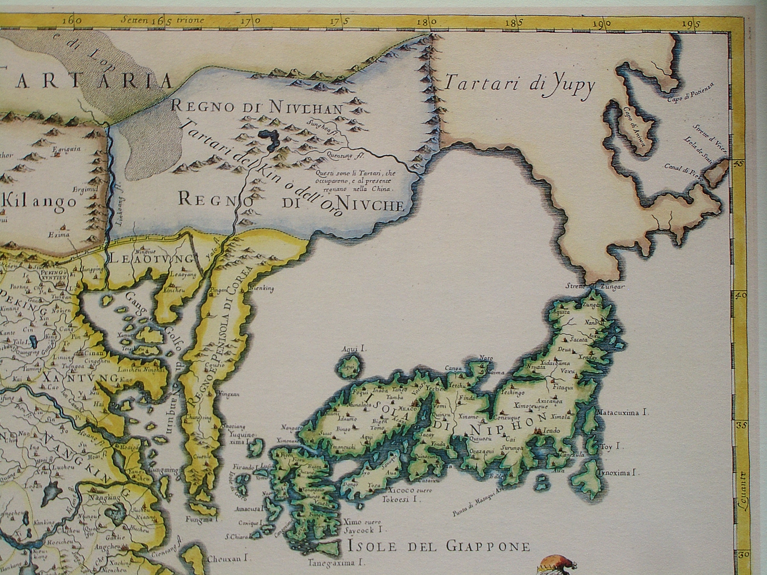
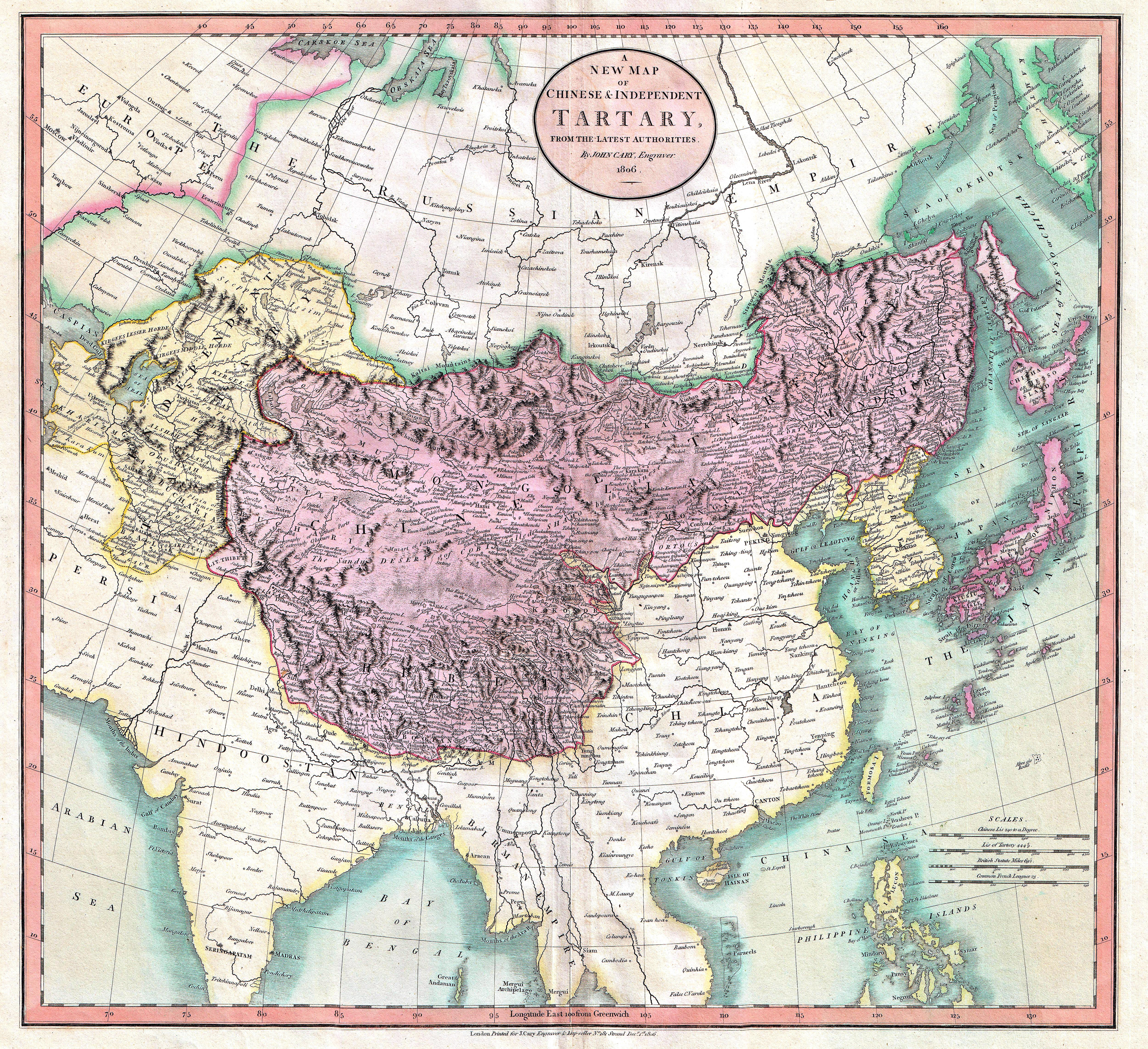
Tartary ( la, Tartaria, french: Tartarie, german: Tartarei, russian: Тартария, Tartariya) or Tatary (russian: Татария, Tatariya) was a blanket term used in Western European literature and cartography for a vast part of Asia bounded by the Caspian Sea, the Ural Mountains, the Pacific Ocean, and the northern borders of China, India and Persia, at a time when this region was largely unknown to European geographers. The active use of the toponym (place name) can be traced from the 13th to the 19th centuries. In European sources, Tartary became the most common name for Central Asia that had no connection with the real polities or ethnic groups of the region; until the 19th century, European knowledge of the area remained extremely scarce and fragmentary. In modern English-speaking tradition, the region formerly known as Tartary is usually called Inner or Central Eurasia. Much of this area consists of arid plains, the main nomadic population of which in the past was eng ... [...More Info...] [...Related Items...] OR: [Wikipedia] [Google] [Baidu] |


