|
Typhoon Dot (1964)
Typhoon Dot (known as Typhoon Enang in the Philippines) was a strong tropical cyclone that made landfalls on Luzon and near Hong Kong in October 1964. It was the fifth typhoon to impact Hong Kong during the active 1964 Pacific typhoon season, and prompted the issuance of the No. 10 typhoon signal from the Royal Observatory in Hong Kong—the highest warning possible. The storm's precursor disturbance formed west of Pohnpei on October 3 and tracked towards the west, becoming a tropical storm by October 6. Gradually strengthening, Dot moved towards the west-northwest, northwest, and then curved west, leading to a landfall at typhoon intensity on Luzon on October 9. A freighter with 32 crewmembers went missing west of the island after passing through the typhoon and was never recovered. Dot tracked slowly and strengthened further across the South China Sea between October 9–13. The Royal Observatory began issuing tropical cyclone signals on ... [...More Info...] [...Related Items...] OR: [Wikipedia] [Google] [Baidu] |
Surface Weather Analysis
Surface weather analysis is a special type of weather map that provides a view of weather elements over a geographical area at a specified time based on information from ground-based weather stations. Weather maps are created by plotting or tracing the values of relevant quantities such as sea level pressure, temperature, and cloud cover onto a geographical map to help find synoptic scale features such as weather fronts. The first weather maps in the 19th century were drawn well after the fact to help devise a theory on storm systems.Eric R. MillerAmerican Pioneers in Meteorology.Retrieved on 2007-04-18. After the advent of the telegraph, simultaneous surface weather observations became possible for the first time, and beginning in the late 1840s, the Smithsonian Institution became the first organization to draw real-time surface analyses. Use of surface analyses began first in the United States, spreading worldwide during the 1870s. Use of the Norwegian cyclone model for fronta ... [...More Info...] [...Related Items...] OR: [Wikipedia] [Google] [Baidu] |
Pacific Typhoon Season
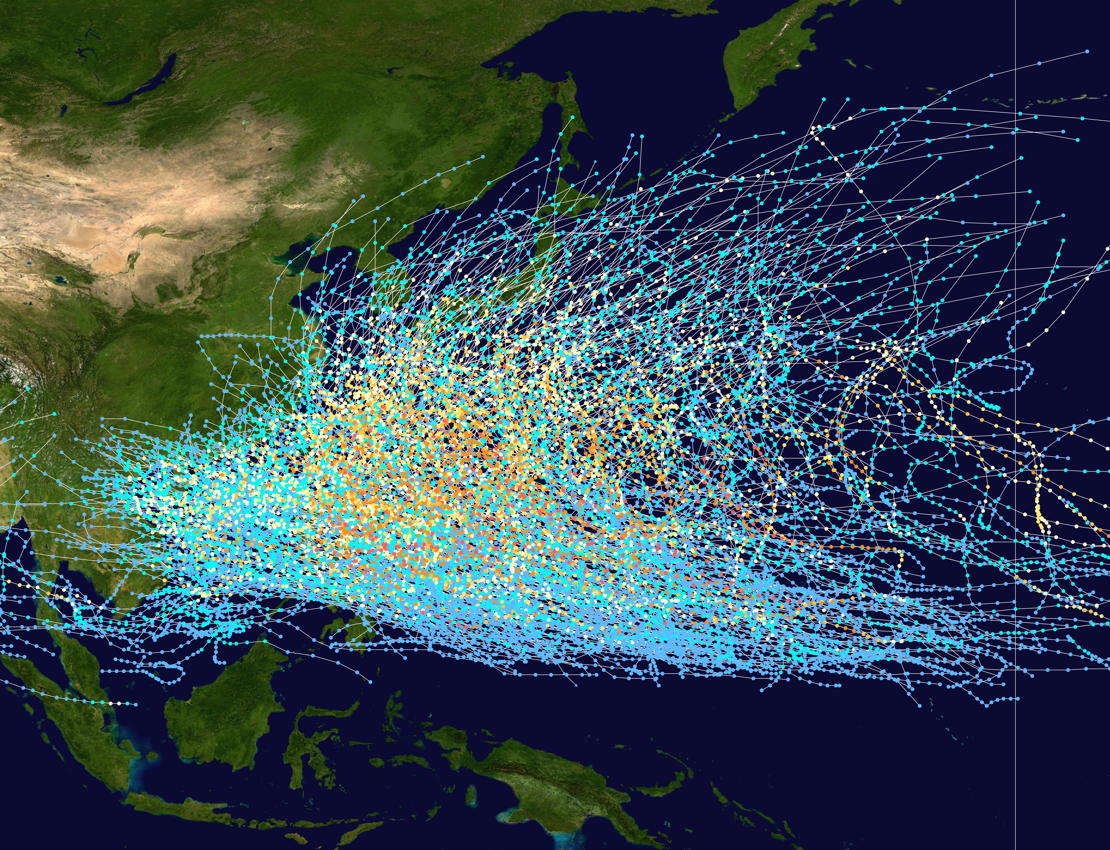
The following is a list of Pacific typhoon seasons. The seasons are limited to the north of the equator between the 100th meridian east and the 180th meridian (aka Prime Antimeridian). Seasons Pre-1940 1940s 1950s 1960s 1970s 1980s 1990s 2000s 2010s 2020s See also Parent topics * Tropical cyclone * List of environment topics * List of tropical cyclones * Lists of tropical cyclone names Other tropical cyclone basins *Atlantic hurricane season *Pacific hurricane season *North Indian Ocean tropical cyclone season *South-West Indian Ocean tropical cyclone season *Australian region tropical cyclone season *South Pacific tropical cyclone season *South Atlantic tropical cyclone *Mediterranean tropical-like cyclone References {{DEFAULTSORT:List Of Pacific Typhoon Seasons Pacific typhoon seasons, Lists of tropical cyclones, Pacific typhoon seasons Tropical cyclone seasons, Pacific typhoon seasons ... [...More Info...] [...Related Items...] OR: [Wikipedia] [Google] [Baidu] |
Pascal (unit)
The pascal (symbol: Pa) is the unit of pressure in the International System of Units (SI), and is also used to quantify internal pressure, stress, Young's modulus, and ultimate tensile strength. The unit, named after Blaise Pascal, is defined as one newton per square metre and is equivalent to 10 barye (Ba) in the CGS system. The unit of measurement called standard atmosphere (atm) is defined as 101,325 Pa. Common multiple units of the pascal are the hectopascal (1 hPa = 100 Pa), which is equal to one millibar, and the kilopascal (1 kPa = 1000 Pa), which is equal to one centibar. Meteorological observations typically report atmospheric pressure in hectopascals per the recommendation of the World Meteorological Organization, thus a standard atmosphere (atm) or typical sea-level air pressure is about 1013 hPa. Reports in the United States typically use inches of mercury or millibars (hectopascals). In Canada these reports are given in kilopascal ... [...More Info...] [...Related Items...] OR: [Wikipedia] [Google] [Baidu] |
Barometric Pressure
Atmospheric pressure, also known as barometric pressure (after the barometer), is the pressure within the atmosphere of Earth. The standard atmosphere (symbol: atm) is a unit of pressure defined as , which is equivalent to 1013.25 millibars, 760mm Hg, 29.9212 inchesHg, or 14.696psi.International Civil Aviation Organization. ''Manual of the ICAO Standard Atmosphere'', Doc 7488-CD, Third Edition, 1993. . The atm unit is roughly equivalent to the mean sea-level atmospheric pressure on Earth; that is, the Earth's atmospheric pressure at sea level is approximately 1 atm. In most circumstances, atmospheric pressure is closely approximated by the hydrostatic pressure caused by the weight of air above the measurement point. As elevation increases, there is less overlying atmospheric mass, so atmospheric pressure decreases with increasing elevation. Because the atmosphere is thin relative to the Earth's radius—especially the dense atmospheric layer at low altitudes—the Earth's gravi ... [...More Info...] [...Related Items...] OR: [Wikipedia] [Google] [Baidu] |
Laoag
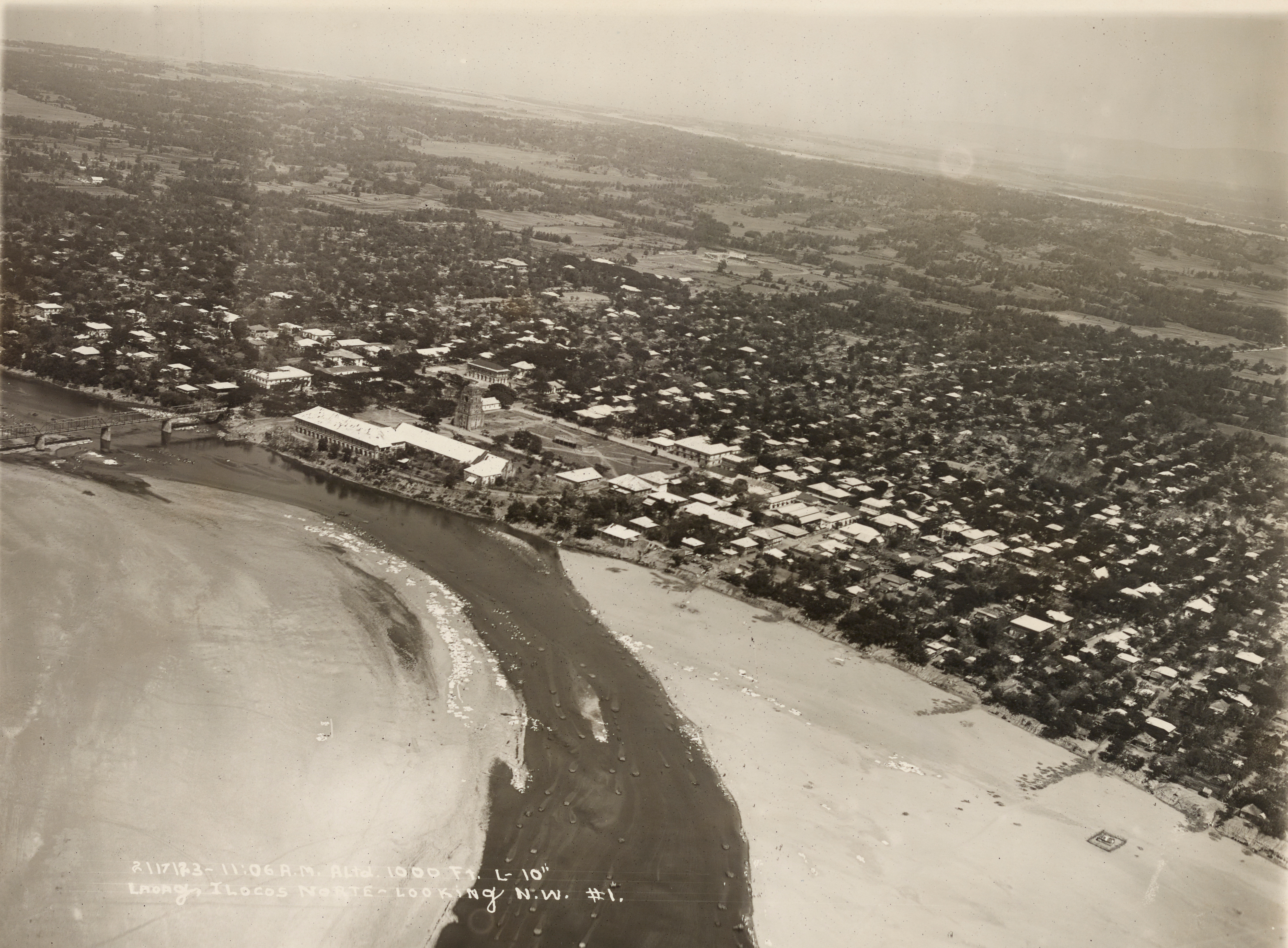
Laoag, officially the City of Laoag ( ilo, Siudad ti Laoag; fil, Lungsod ng Laoag), is a 1st class Cities of the Philippines#Legal classification, component city and capital of the Provinces of the Philippines, province of Ilocos Norte, Philippines. According to the 2020 census, it has a population of 111,651 people. It is the province's political, commercial, and industrial hub and the location of the Ilocos Region's busiest Laoag International Airport, commercial airport. The municipalities of San Nicolas, Ilocos Norte, San Nicolas, Paoay, Ilocos Norte, Paoay, Sarrat, Ilocos Norte, Sarrat, Vintar, Ilocos Norte, Vintar, and Bacarra, Ilocos Norte, Bacarra form its boundaries. The foothills of the Cordillera Central (Luzon), Cordillera Central mountain range to the east, and the South China Sea to the west are its physical boundaries. Laoag experiences the prevailing monsoon climate of Northern Luzon, characterized by a dry season from November to April and a wet season from ... [...More Info...] [...Related Items...] OR: [Wikipedia] [Google] [Baidu] |
Joint Typhoon Warning Center
The Joint typhoon Warning Center (JTWC) is a joint United States Navy – United States Air Force command in Pearl Harbor, Hawaii. The JTWC is responsible for the issuing of tropical cyclone warnings in the North-West Pacific Ocean, South Pacific Ocean, and Indian Ocean for all branches of the U.S. Department of Defense and other U.S. government agencies. Their warnings are intended for the protection of primarily military ships and aircraft as well as military installations jointly operated with other countries around the world. Its U.S. Navy components are aligned with the Naval Meteorology and Oceanography Command. History The origins of the Joint Typhoon Warning Center (JTWC) can be traced back to June 1945, when the Fleet Weather Center/Typhoon Tracking Center was established on the island of Guam, after multiple typhoons, including Typhoon Cobra of December 1944 and Typhoon Connie in June 1945, had caused a significant loss of men and ships. At this time the center ... [...More Info...] [...Related Items...] OR: [Wikipedia] [Google] [Baidu] |
Maximum Sustained Wind
The maximum sustained wind associated with a tropical cyclone is a common indicator of the intensity of the storm. Within a mature tropical cyclone, it is found within the eyewall at a distance defined as the radius of maximum wind, or RMW. Unlike gusts, the value of these winds are determined via their sampling and averaging the sampled results over a period of time. Wind measuring has been standardized globally to reflect the winds at above the Earth's surface, and the maximum sustained wind represents the highest average wind over either a one-minute (US) or ten-minute time span (see the definition, below), anywhere within the tropical cyclone. Surface winds are highly variable due to friction between the atmosphere and the Earth's surface, as well as near hills and mountains over land. Over the ocean, satellite imagery determines the value of the maximum sustained winds within a tropical cyclone. Land, ship, aircraft reconnaissance observations, and radar imagery can ... [...More Info...] [...Related Items...] OR: [Wikipedia] [Google] [Baidu] |
Coordinated Universal Time
Coordinated Universal Time or UTC is the primary time standard by which the world regulates clocks and time. It is within about one second of mean solar time (such as UT1) at 0° longitude (at the IERS Reference Meridian as the currently used prime meridian) and is not adjusted for daylight saving time. It is effectively a successor to Greenwich Mean Time (GMT). The coordination of time and frequency transmissions around the world began on 1 January 1960. UTC was first officially adopted as CCIR Recommendation 374, ''Standard-Frequency and Time-Signal Emissions'', in 1963, but the official abbreviation of UTC and the official English name of Coordinated Universal Time (along with the French equivalent) were not adopted until 1967. The system has been adjusted several times, including a brief period during which the time-coordination radio signals broadcast both UTC and "Stepped Atomic Time (SAT)" before a new UTC was adopted in 1970 and implemented in 1972. This change also a ... [...More Info...] [...Related Items...] OR: [Wikipedia] [Google] [Baidu] |
Eye (cyclone)
The eye is a region of mostly calm weather at the center of tropical cyclones. The eye of a storm is a roughly circular area, typically in diameter. It is surrounded by the ''eyewall'', a ring of towering thunderstorms where the most severe weather and highest winds occur. The cyclone's lowest barometric pressure occurs in the eye and can be as much as 15 percent lower than the pressure outside the storm. In strong tropical cyclones, the eye is characterized by light winds and clear skies, surrounded on all sides by a towering, symmetric eyewall. In weaker tropical cyclones, the eye is less well defined and can be covered by the central dense overcast, an area of high, thick clouds that show up brightly on satellite imagery. Weaker or disorganized storms may also feature an eyewall that does not completely encircle the eye or have an eye that features heavy rain. In all storms, however, the eye is the location of the storm's minimum barometric pressure—where the atmospheric pr ... [...More Info...] [...Related Items...] OR: [Wikipedia] [Google] [Baidu] |
Catanduanes
Catanduanes (; ), officially the Province of Catanduanes, is an island province located in the Bicol Region of Luzon in the Philippines. It is the 12th-largest island in the Philippines, and lies to the east of Camarines Sur, across Maqueda Channel. Its capital is Virac. It had a population of 271,879 people as of the 2020 census. The province comprises Catanduanes Island (also called ''Virac Island''), Panay Island, Lete Island, the Palumbanes group of islands (Porongpong, Tignob and Calabagio), and a few other small, surrounding islets and rocks. The province is also home to various mollusk fossil sites, notably the second-oldest ammonite site in the Philippines. These sites have certain species of ammonites that are found nowhere else in Southeast Asia. Because of the province's importance and rich geologic history, various scholars have suggested that, if the province would take the initiative to put its name forward in nomination, it would stand a good chance of being dec ... [...More Info...] [...Related Items...] OR: [Wikipedia] [Google] [Baidu] |
Tropical Cyclogenesis
Tropical cyclogenesis is the development and strengthening of a tropical cyclone in the atmosphere. The mechanisms through which tropical cyclogenesis occurs are distinctly different from those through which temperate cyclogenesis occurs. Tropical cyclogenesis involves the development of a warm-core cyclone, due to significant convection in a favorable atmospheric environment. Tropical cyclogenesis requires six main factors: sufficiently warm sea surface temperatures (at least ), atmospheric instability, high humidity in the lower to middle levels of the troposphere, enough Coriolis force to develop a low-pressure center, a pre-existing low-level focus or disturbance, and low vertical wind shear. Tropical cyclones tend to develop during the summer, but have been noted in nearly every month in most basins. Climate cycles such as ENSO and the Madden–Julian oscillation modulate the timing and frequency of tropical cyclone development. There is a limit on tropical cyclone i ... [...More Info...] [...Related Items...] OR: [Wikipedia] [Google] [Baidu] |


