|
Trappentreustraße
The Trappentreustraße is a street in the west of Munich and part of the Mittlerer Ring. Location The Trappentreustraße is located about three kilometers west of Munich city center in the district Schwanthalerhöhe of the Westend district. It runs in a north-south direction. Through the construction of the ''Trappentreutunnel'', two route sections were created. On the northern section, up to 135,000 vehicles drive through the Mittlerer Ring daily, where as in the southern section above the tunnel, only 3,000 vehicles drive there daily. The Trappentreustraße has about 3,300 residents. Route The Trappentreustraße begins at the southern end of the Donnersbergerbrücke at the intersection Landsberger Straße (B 2 direction Augsburg) and runs south. The main lanes, with two lanes each, are routed via Landsberger Straße. The secondary lanes serve as feeders to the Landsberger Straße and the side streets. The main lane then goes into the, 1984 built, ''Trappentreutunnel''. A ... [...More Info...] [...Related Items...] OR: [Wikipedia] [Google] [Baidu] |
Trams In Munich
The Munich tramway () is the tramway network for the city of Munich in Germany. Today it is operated by the municipally owned Münchner Verkehrsgesellschaft (the Munich Transport Company, or MVG) and is known officially and colloquially as the ''Tram''. Previous operators have included ''Société Anonyme des Tramways de Munich'', the ''Münchner Trambahn-Aktiengesellschaft'', the ''Städtische Straßenbahnen'' and the ''Straßenbahn München''. The tram network interconnects with the MVG's bus network, the Munich U-Bahn and the Munich S-Bahn, all of which use a common tariff as part of the Münchner Verkehrs- und Tarifverbund (Munich Transport and Tariff Association, or MVV) transit area. As of 2012, the daytime tram network comprises 13 lines and is long with 165 stops. There is also a night tram service with four routes. The network is operated by 106 trams (as of 2012), and transported 98 million people in 2010 and 104 million people in 2012. History The tra ... [...More Info...] [...Related Items...] OR: [Wikipedia] [Google] [Baidu] |
Tulbeckstraße
The Tulbeckstraße is a street in Munich and lies west of the city center in the district Schwanthalerhöhe. It leads from Parkstraße in the east to Trappentreustraße in the west. It was named after the Munich patrician family Tulbeck in 1878. From this family came the Freising Prince-Bishop Johann IV Tulbeck (term: 1453-1473). Location The Tulbeckstraße is located in the district Schwanthalerhöhe and is lies in the Westend of the district. This is a classic working-class district with cooperative buildings from around 1900. The Tulbeckstraße is centrally located in the district and runs in the west–east direction over a length of more than 700 meters. The northern parallel road is the Schwanthalerstraße and the Westendstraße, the southern parallel road is the Gollierstraße with the Gollierplatz. Route The Tulbeckstraße branches off to the east from Parkstraße and unlike the Gollierstraße, has no connection to the Theresienhöhe. It flows into the west at the hei ... [...More Info...] [...Related Items...] OR: [Wikipedia] [Google] [Baidu] |
Landsberger Straße
The Landsberger Straße is one of the main arterial roads in Munich. Route The road, with a length of about 6.6 km, leads south into the extension of the Bayerstraße, parallel to the railway lines of the Munich-Hauptbahnhof- Munich-Pasing-Augsburg tracks from the confluence of the Martin-Greif-Straße, through the Munich urban districts of Schwanthalerhöhe (Westend), Laim and Pasing until the Pasinger Marienplatz. At its eastern end, the road crosses the small ridge of the Theresienhöhe / Maßmannbergl, a runoff from the western high bay of the Isar Valley. The roads continuation to the west is the Bodenseestraße. From its junction with the '' Mittlerer Ring'' at the Trappentreustraße / Donnersbergerbrücke, it forms a section of the ''Bundesstraße 2'' to the west. At the height of the Laim S-Bahn station, the Wotanstraße coming from the north through the Laimer underpass and the south coming Fürstenrieder Straße (both parts of the so-called outer ring) cross. In the ... [...More Info...] [...Related Items...] OR: [Wikipedia] [Google] [Baidu] |
Gollierplatz
The Gollierplatz is a square in Munich's Schwanthalerhöhe, Westend district. Surrounded by historically listed buildings, the square is a pleasant green space containing children's play equipment, a permanent table tennis table, and a fountain. The ''Vier-Nymphen-Brunnen'' (Four Nymphs Fountain ) by Elmar Dietz has been located in the eastern part of the square since 1938. Location The Gollierplatz extends in an east-west direction between Trappentreustraße and Bergmannstraße on an area of approx. 10,000 m2. History Since 1897, the square has borne the name of a Munich Patrician (post-Roman Europe), patrician family, presumably extinct since 1318. Located in the heart of the Westend residential district, Gollierplatz is a prominent example of Munich urban planning around 1900. Originally planned as a regular Geometry, geometric element in net-like alignment, the square and its surroundings were redesigned in 1892 following a city expansion competition. The south side in ... [...More Info...] [...Related Items...] OR: [Wikipedia] [Google] [Baidu] |
Munich
Munich is the capital and most populous city of Bavaria, Germany. As of 30 November 2024, its population was 1,604,384, making it the third-largest city in Germany after Berlin and Hamburg. Munich is the largest city in Germany that is not a state of its own. It ranks as the 11th-largest city in the European Union. The metropolitan area has around 3 million inhabitants, and the broader Munich Metropolitan Region is home to about 6.2 million people. It is the List of EU metropolitan regions by GDP#2021 ranking of top four German metropolitan regions, third largest metropolitan region by GDP in the European Union. Munich is located on the river Isar north of the Alps. It is the seat of the Upper Bavaria, Upper Bavarian administrative region. With 4,500 people per km2, Munich is Germany's most densely populated municipality. It is also the second-largest city in the Bavarian language, Bavarian dialect area after Vienna. The first record of Munich dates to 1158. The city ha ... [...More Info...] [...Related Items...] OR: [Wikipedia] [Google] [Baidu] |
Munich S-Bahn
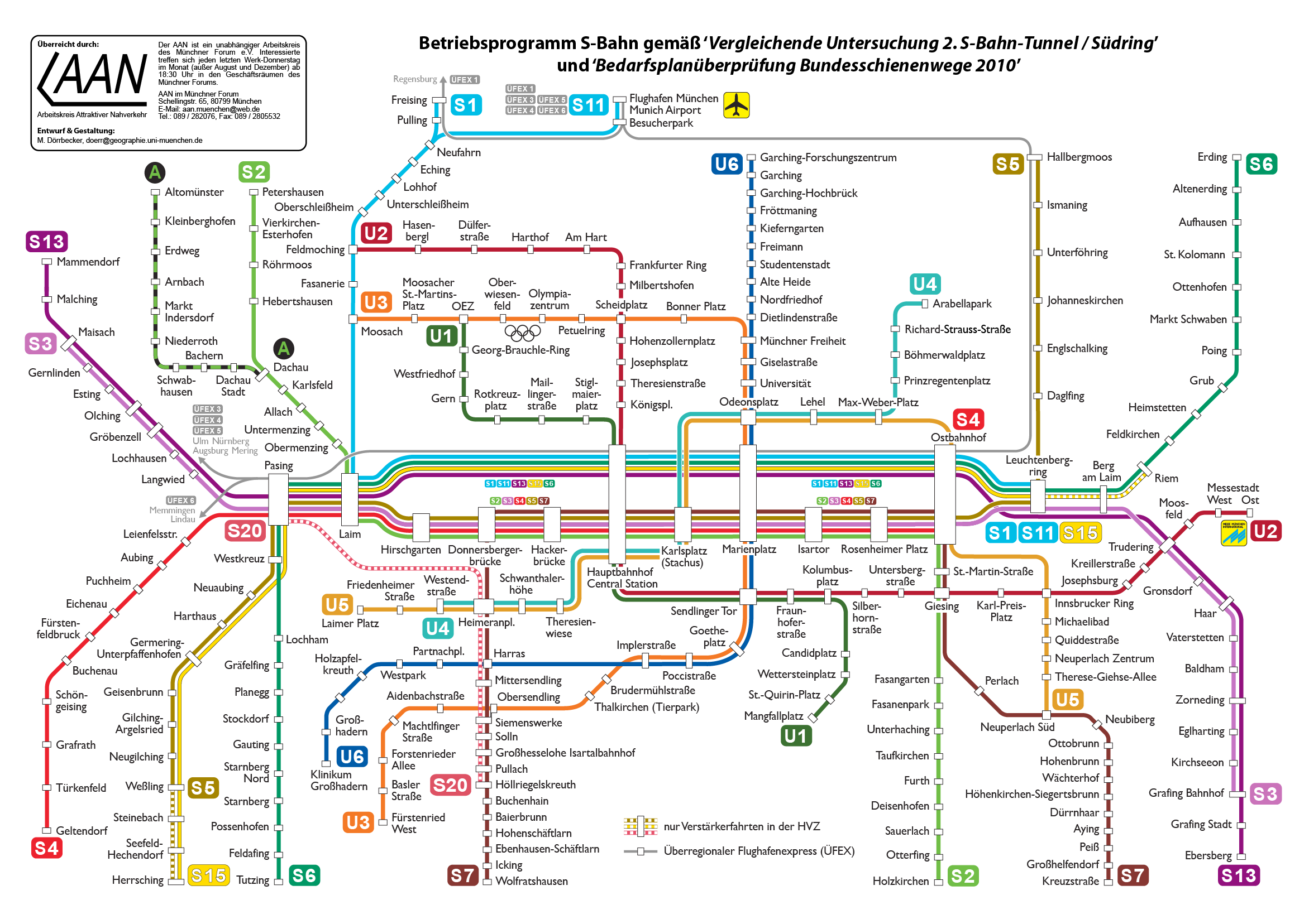
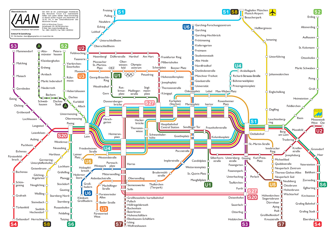
The Munich S-Bahn () is an Railway electrification system, electric rail transit system in Munich, Germany. "S-Bahn" is the German abbreviation for ''Stadtschnellbahn'' (literally, "urban rapid rail"), and the Munich S-Bahn exhibits characteristics of both rapid transit and commuter rail systems. The Munich S-Bahn network is operated by S-Bahn München, a subsidiary of DB Regio Bayern, which is itself a subsidiary of the German national railway company, Deutsche Bahn. It is integrated into the Munich Transport and Tariff Association (''Münchner Verkehrs- und Tarifverbund'', MVV) and interconnected throughout the city with the locally owned Munich U-Bahn. Today, the S-Bahn covers most of the populated area of the Munich metropolitan area of about 3 million inhabitants. In terms of system length, the Munich S-Bahn is the fourth-largest in Germany, behind the Rhine-Neckar S-Bahn, Rhine-Ruhr S-Bahn and the S-Bahn Mitteldeutschland. The Munich S-Bahn was established on 28 May 1972. ... [...More Info...] [...Related Items...] OR: [Wikipedia] [Google] [Baidu] |
Palestine (region)
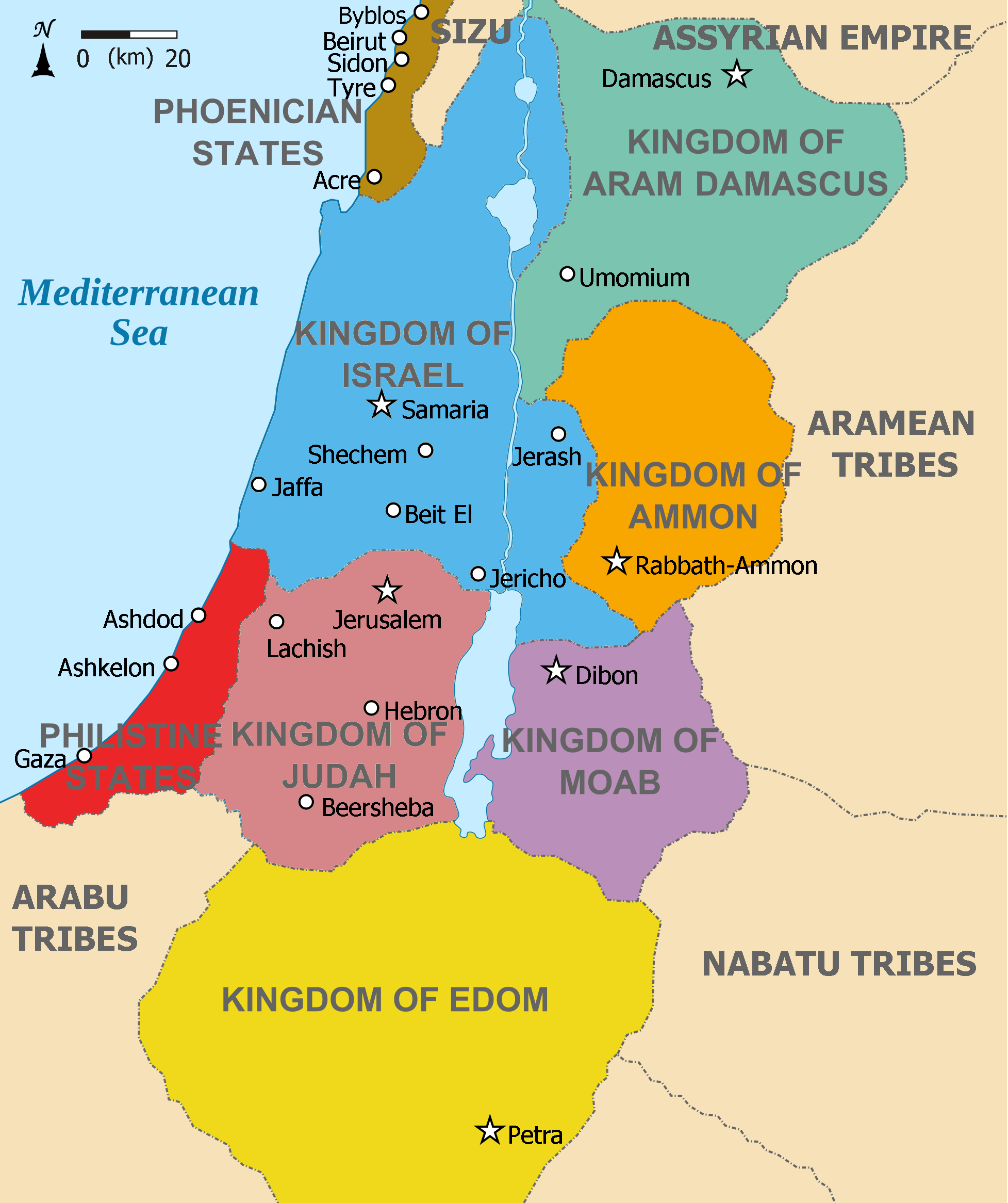
The region of Palestine, also known as historic Palestine, is a geographical area in West Asia. It includes the modern states of Israel and Palestine, as well as parts of northwestern Jordan in some definitions. Other names for the region include Canaan, the Promised Land, the Land of Israel, or the Holy Land. The earliest written record Timeline of the name Palestine, referring to Palestine as a geographical region is in the ''Histories (Herodotus), Histories'' of Herodotus in the 5th century BCE, which calls the area ''Palaistine'', referring to the territory previously held by Philistia, a state that existed in that area from the 12th to the 7th century BCE. The Roman Empire conquered the region and in 6 CE established the province known as Judaea (Roman province), Judaea. In the aftermath of the Bar Kokhba revolt (132–136 CE), the province was renamed Syria Palaestina. In 390, during the Byzantine period, the region was split into the provinces of Palaestina Prima, Pal ... [...More Info...] [...Related Items...] OR: [Wikipedia] [Google] [Baidu] |
Africa
Africa is the world's second-largest and second-most populous continent after Asia. At about 30.3 million km2 (11.7 million square miles) including adjacent islands, it covers 20% of Earth's land area and 6% of its total surface area.Sayre, April Pulley (1999), ''Africa'', Twenty-First Century Books. . With nearly billion people as of , it accounts for about of the world's human population. Demographics of Africa, Africa's population is the youngest among all the continents; the median age in 2012 was 19.7, when the worldwide median age was 30.4. Based on 2024 projections, Africa's population will exceed 3.8 billion people by 2100. Africa is the least wealthy inhabited continent per capita and second-least wealthy by total wealth, ahead of Oceania. Scholars have attributed this to different factors including Geography of Africa, geography, Climate of Africa, climate, corruption, Scramble for Africa, colonialism, the Cold War, and neocolonialism. Despite this lo ... [...More Info...] [...Related Items...] OR: [Wikipedia] [Google] [Baidu] |
Europe
Europe is a continent located entirely in the Northern Hemisphere and mostly in the Eastern Hemisphere. It is bordered by the Arctic Ocean to the north, the Atlantic Ocean to the west, the Mediterranean Sea to the south, and Asia to the east. Europe shares the landmass of Eurasia with Asia, and of Afro-Eurasia with both Africa and Asia. Europe is commonly considered to be Boundaries between the continents#Asia and Europe, separated from Asia by the Drainage divide, watershed of the Ural Mountains, the Ural (river), Ural River, the Caspian Sea, the Greater Caucasus, the Black Sea, and the waterway of the Bosporus, Bosporus Strait. "Europe" (pp. 68–69); "Asia" (pp. 90–91): "A commonly accepted division between Asia and Europe ... is formed by the Ural Mountains, Ural River, Caspian Sea, Caucasus Mountains, and the Black Sea with its outlets, the Bosporus and Dardanelles." Europe covers approx. , or 2% of Earth#Surface, Earth's surface (6.8% of Earth's land area), making it ... [...More Info...] [...Related Items...] OR: [Wikipedia] [Google] [Baidu] |
Gabriel Von Seidl
Gabriel von Seidl (9 December 1848 – 27 April 1913) was a German architect and a representative of the historicist style of architecture. Early life, education and early career Gabriel Seidl was born in 1848 in Munich, Kingdom of Bavaria. He was the first son of the wealthy baker Anton Seidl and his wife, Therese, daughter of the brewer Gabriel Sedlmayr. Seidl initially studied mechanical engineering at the Technical University of Munich (TUM). He then worked as a mechanical engineer in England, where he found that his real talent lay in the field of architecture. Consequently, he began studying at the Academy of Fine Arts in Munich. His studies were interrupted during 1870–1871 due to his volunteer participation in the Franco-Prussian War. After an extended period of study in Rome, he opened an interior decoration studio in 1878. Career Seidl was a member of the Bavarian Arts and Crafts Association, founded in 1851, and quickly won the admiration of its members, in ... [...More Info...] [...Related Items...] OR: [Wikipedia] [Google] [Baidu] |
Munich South Ring
Munich South Ring () is the common name for a railway line running near the centre and through the southern districts of the Bavarian state capital of Munich. It connects Munich East station to the Munich Central Station (''Hauptbahnhof'') and Laim marshalling yard. Operationally it is mostly included in the Munich–Rosenheim railway (line 5510). The South Ring is used by freight traffic as a direct connection between Laim and Munich East, bypassing the Hauptbahnhof. It is used by virtually all passenger trains between the central station and Rosenheim station, Rosenheim or Mühldorf (Oberbayern) station, Mühldorf. Only the Munich S-Bahn services run between the central station and Munich East on a separate line, the Trunk line (Munich S-Bahn), S-Bahn trunk line, cutting through the city centre in a tunnel. Since the S-Bahn line is congested, it has long been debated whether to build another central tunnel as a second trunk line or to upgrade the South Ring for S-Bahn operation ... [...More Info...] [...Related Items...] OR: [Wikipedia] [Google] [Baidu] |


