|
Tiln, Nottinghamshire
Tiln is a hamlet in the civil parish of Hayton, in the Bassetlaw district, in the county of Nottinghamshire, England. It is located on the River Idle, 2 miles north of Retford, a mile north of Bolham and ½ mile from Retford Sewage Works. Tiln North Quarry is owned by Tarmac Ltd. Sand and gravel are extracted from this and other quarries in the area. Tiln was recorded in the Domesday Book Domesday Book () – the Middle English spelling of "Doomsday Book" – is a manuscript record of the "Great Survey" of much of England and parts of Wales completed in 1086 by order of King William I, known as William the Conqueror. The manus ... as ''Tille''/''Tilne''. References Hamlets in Nottinghamshire Bassetlaw District {{Nottinghamshire-geo-stub ... [...More Info...] [...Related Items...] OR: [Wikipedia] [Google] [Baidu] |
Bassetlaw District
Bassetlaw is a local government district in Nottinghamshire, England. The district has four towns: Worksop, Tuxford, Harworth Bircotes and Retford. It is bounded to the north by the Metropolitan Boroughs of Doncaster and Rotherham, the east by West Lindsey, the west by both the Borough of Chesterfield and North East Derbyshire and the south by Mansfield District and Newark and Sherwood. The district is along with Bolsover District, North East Derbyshire and Borough of Chesterfield is a non-constituent member of the Sheffield City Region. History Bassetlaw was created as a non-metropolitan district in 1974 by the merger of the municipal boroughs of Worksop and East Retford and most of Worksop Rural District and East Retford Rural District following the passage of the Local Government Act 1972. Local Government in Nottinghamshire is organised on a two-tier basis, with local district councils such as Bassetlaw District Council responsible for local services such as housin ... [...More Info...] [...Related Items...] OR: [Wikipedia] [Google] [Baidu] |
Nottinghamshire
Nottinghamshire (; abbreviated Notts.) is a landlocked county in the East Midlands region of England, bordering South Yorkshire to the north-west, Lincolnshire to the east, Leicestershire to the south, and Derbyshire to the west. The traditional county town is Nottingham, though the county council is based at County Hall in West Bridgford in the borough of Rushcliffe, at a site facing Nottingham over the River Trent. The districts of Nottinghamshire are Ashfield, Bassetlaw, Broxtowe, Gedling, Mansfield, Newark and Sherwood, and Rushcliffe. The City of Nottingham was administratively part of Nottinghamshire between 1974 and 1998, but is now a unitary authority, remaining part of Nottinghamshire for ceremonial purposes. The county saw a minor change in its coverage as Finningley was moved from the county into South Yorkshire and is part of the City of Doncaster. This is also where the now-closed Doncaster Sheffield Airport is located (formerly Robin Hood Airport). In 20 ... [...More Info...] [...Related Items...] OR: [Wikipedia] [Google] [Baidu] |
Bassetlaw (UK Parliament Constituency)
Bassetlaw is a parliamentary constituency in Nottinghamshire, represented in the House of Commons of the UK Parliament since the 2019 general election by Brendan Clarke-Smith, a Conservative. Before that election, the seat had been part of the so-called " red wall", being held by the Labour Party since 1929. Constituency profile The Bassetlaw constituency is mostly rural and covers the north of Nottinghamshire, including the towns of Worksop and Retford. It shares the name with the Bassetlaw district. Parts of the constituency are former coal mining areas. Residents' health and wealth are slightly below the UK average. Boundaries The constituency includes 22 electoral wards from Bassetlaw District Council: * Beckingham, Blyth, Carlton, Clayworth, East Retford East, East Retford North, East Retford South, East Retford West, Everton, Harworth, Langold, Misterton, Ranskill, Sturton, Sutton, Welbeck, Worksop East, Worksop North, Worksop North East, Worksop North Wes ... [...More Info...] [...Related Items...] OR: [Wikipedia] [Google] [Baidu] |
Hayton, Nottinghamshire
Hayton is a village in Nottinghamshire Nottinghamshire (; abbreviated Notts.) is a landlocked county in the East Midlands region of England, bordering South Yorkshire to the north-west, Lincolnshire to the east, Leicestershire to the south, and Derbyshire to the west. The trad ..., England. It is located 4 miles north-east of Retford. According to the 2001 census it had a population (including Tiln) of 386, decreasing marginally to 385 in the 2011 Census. The parish church of St Peter is Norman, with 14th century windows.Pevsner, Nikolaus. 1979. ''The Buildings of England:Nottinghamshire''. page 142. Harmondsworth, Middx. Penguin. References External links Villages in Nottinghamshire Civil parishes in Nottinghamshire Bassetlaw District {{Nottinghamshire-geo-stub ... [...More Info...] [...Related Items...] OR: [Wikipedia] [Google] [Baidu] |
Civil Parish
In England, a civil parish is a type of administrative parish used for local government. It is a territorial designation which is the lowest tier of local government below districts and counties, or their combined form, the unitary authority. Civil parishes can trace their origin to the ancient system of ecclesiastical parishes, which historically played a role in both secular and religious administration. Civil and religious parishes were formally differentiated in the 19th century and are now entirely separate. Civil parishes in their modern form came into being through the Local Government Act 1894, which established elected parish councils to take on the secular functions of the parish vestry. A civil parish can range in size from a sparsely populated rural area with fewer than a hundred inhabitants, to a large town with a population in the tens of thousands. This scope is similar to that of municipalities in Continental Europe, such as the communes of France. However, ... [...More Info...] [...Related Items...] OR: [Wikipedia] [Google] [Baidu] |
River Idle
The River Idle is a river in Nottinghamshire, England whose source is the confluence of the River Maun and River Meden near Markham Moor. The Idle flows north from its source through Retford and Bawtry before entering the River Trent at West Stockwith. Its main tributaries are the River Poulter and the River Ryton. The river is navigable to Bawtry, and there is a statutory right of navigation to Retford. Most of the land surrounding the river is a broad flood plain and the river is important for conservation, with Sites of Special Scientific Interest being designated along its course. Etymology The origin of the name is not known. River Idle is commonly taken to mean 'slow river' but this is unlikely as river names tend to be even older than settlement names, and the modern name is also at odds with the fact that it is known as a very fast flowing river. The Survey of English Placenames suggests that Idle (Idel) can mean an empty or uncultivated place. This would fit with the f ... [...More Info...] [...Related Items...] OR: [Wikipedia] [Google] [Baidu] |
Retford
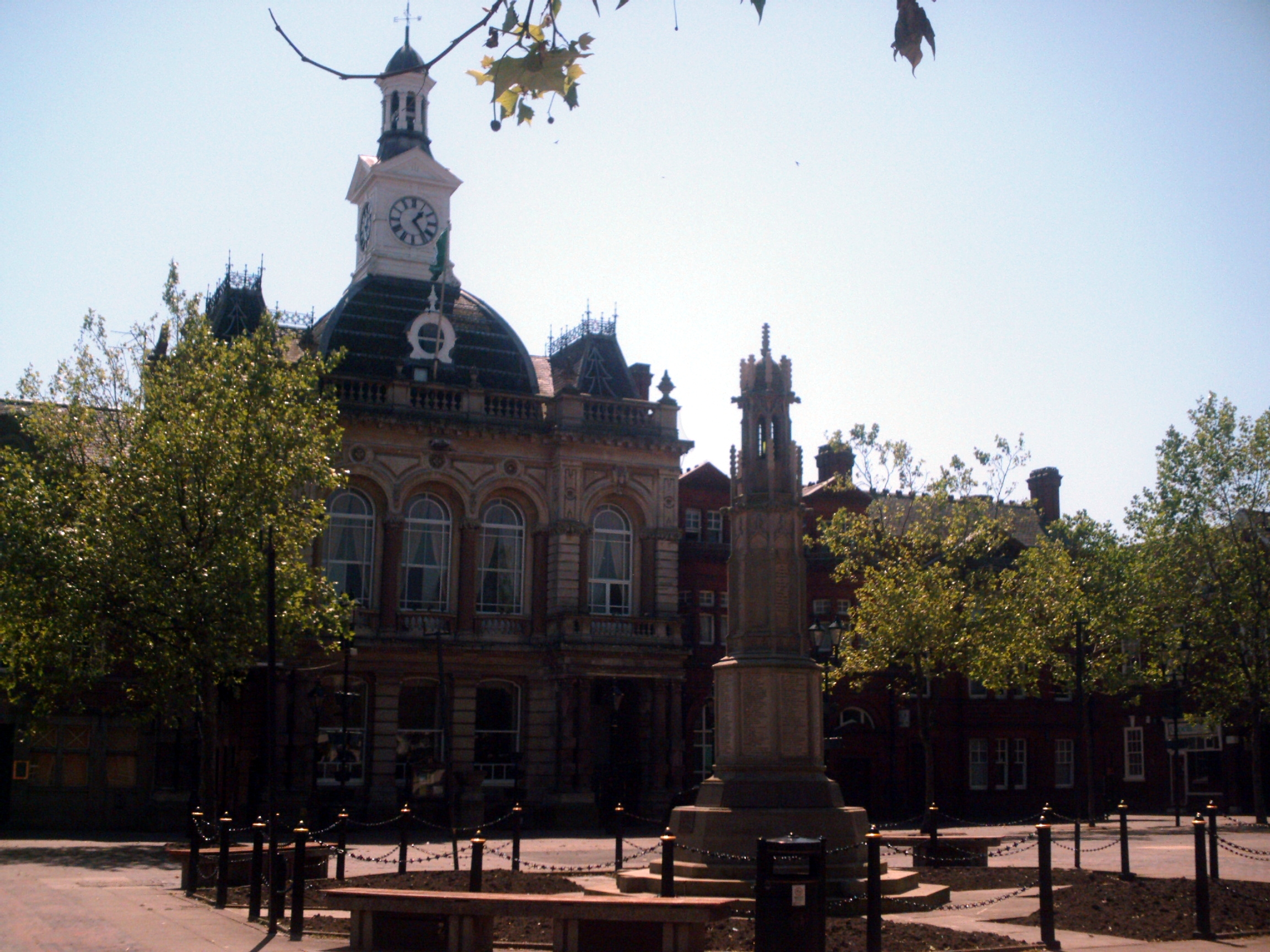
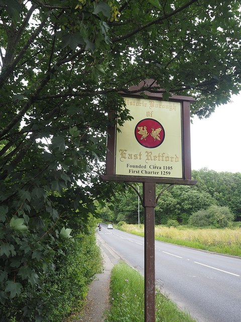
Retford (), also known as East Retford, is a market town in the Bassetlaw District in Nottinghamshire, England, and one of the oldest English market towns having been granted its first charter in 1105. It lies on the River Idle and the Chesterfield Canal passes through its centre. Retford is east of Sheffield, west of Lincoln, Lincolnshire, Lincoln and north-east of Nottingham. The population at the 2011 census was 22,013. In 1878 an Act of Parliament extended the borough of East Retford to include the village of Ordsall, Nottinghamshire, Ordsall, West Retford and part of the parish of Clarborough. It is administered by Bassetlaw District Council, which itself is now a non-constituent partner member of the Sheffield City Region Combined Authority. In addition to being an ancient market town and infamous Rotten Borough, Retford is known as being at the centre of Nonconformism, with the origins of the Pilgrims, Baptists and Wesleys being in this area. History Origins of the n ... [...More Info...] [...Related Items...] OR: [Wikipedia] [Google] [Baidu] |
Domesday Book
Domesday Book () – the Middle English spelling of "Doomsday Book" – is a manuscript record of the "Great Survey" of much of England and parts of Wales completed in 1086 by order of King William I, known as William the Conqueror. The manuscript was originally known by the Latin name ''Liber de Wintonia'', meaning "Book of Winchester", where it was originally kept in the royal treasury. The '' Anglo-Saxon Chronicle'' states that in 1085 the king sent his agents to survey every shire in England, to list his holdings and dues owed to him. Written in Medieval Latin, it was highly abbreviated and included some vernacular native terms without Latin equivalents. The survey's main purpose was to record the annual value of every piece of landed property to its lord, and the resources in land, manpower, and livestock from which the value derived. The name "Domesday Book" came into use in the 12th century. Richard FitzNeal wrote in the ''Dialogus de Scaccario'' ( 1179) that the book ... [...More Info...] [...Related Items...] OR: [Wikipedia] [Google] [Baidu] |
Hamlets In Nottinghamshire
A hamlet is a human settlement that is smaller than a town or village. Its size relative to a parish can depend on the administration and region. A hamlet may be considered to be a smaller settlement or subdivision or satellite entity to a larger settlement. The word and concept of a hamlet has roots in the Anglo-Norman settlement of England, where the old French ' came to apply to small human settlements. Etymology The word comes from Anglo-Norman ', corresponding to Old French ', the diminutive of Old French ' meaning a little village. This, in turn, is a diminutive of Old French ', possibly borrowed from (West Germanic) Franconian languages. Compare with modern French ', Dutch ', Frisian ', German ', Old English ' and Modern English ''home''. By country Afghanistan In Afghanistan, the counterpart of the hamlet is the qala (Dari: قلعه, Pashto: کلي) meaning "fort" or "hamlet". The Afghan ''qala'' is a fortified group of houses, generally with its own commu ... [...More Info...] [...Related Items...] OR: [Wikipedia] [Google] [Baidu] |


