|
Tempo, Ontario
Tempo is an unincorporated place in the city of London in Southwestern Ontario, Canada. It is located just south of the community of Lambeth at interchange 177 of Ontario Highway 401 with the former Ontario Highway 4 King's Highway 4, also known as Highway 4, is a provincially maintained highway in the Canadian province of Ontario. Originally much longer than its present length, more than half of Highway 4 was transferred to the responsibility of local gover .... History Tempo originally was a village in Westminster Township, Middlesex County. It had a post office until it closed in 1913. Most of the village was demolished in the 1950s during the construction of Highway 401. There was one church, called Tempo Presbyterian Church, which opened in the mid-19th century and closed down in the first decade of the 21st century. The building still stands, as the Rose Chapel, a wedding venue. Education Children who live in Tempo attend primary school in Lambeth. Economy Farms in ... [...More Info...] [...Related Items...] OR: [Wikipedia] [Google] [Baidu] |
London, Ontario
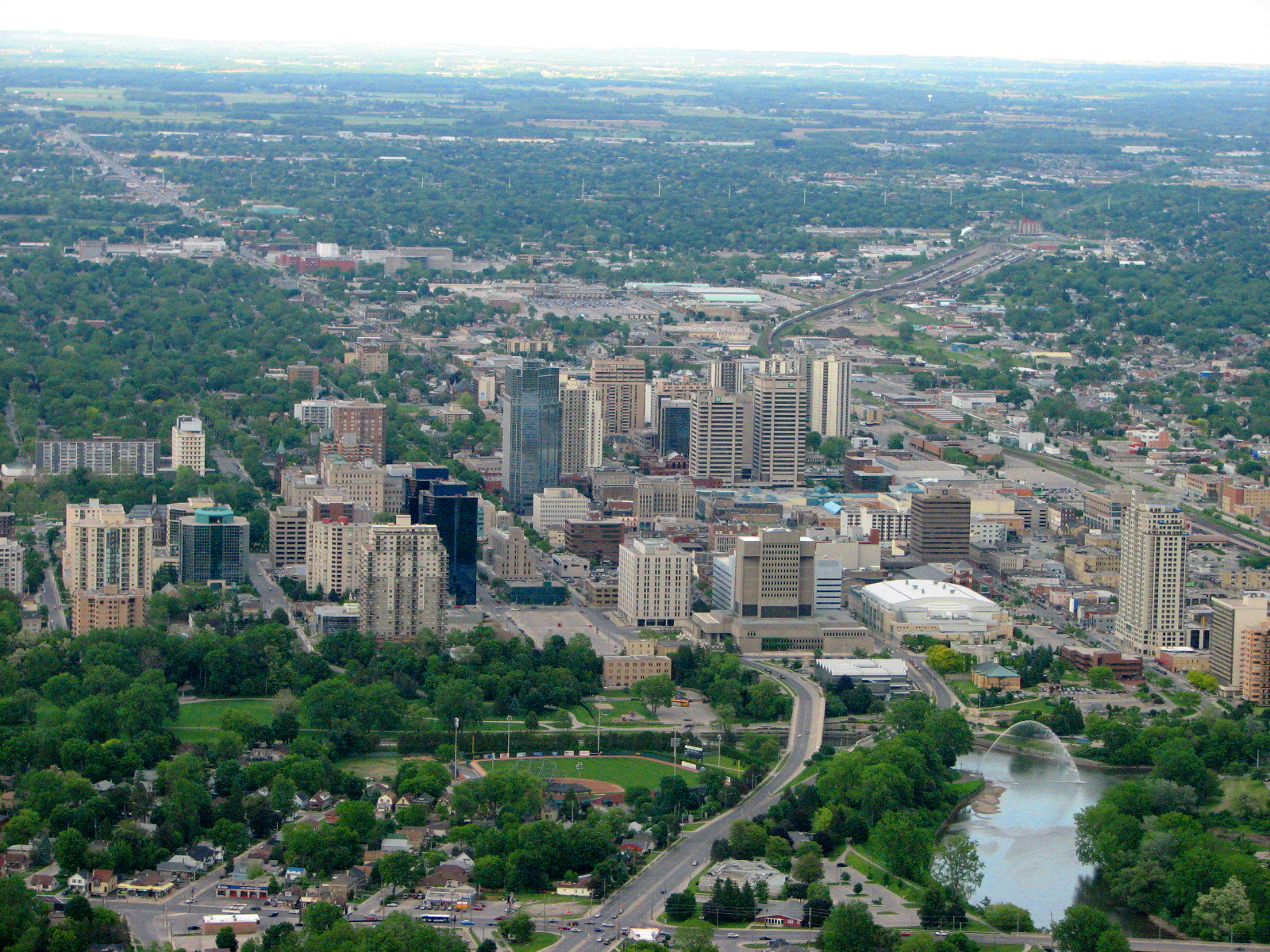
London (pronounced ) is a city in southwestern Ontario, Canada, along the Quebec City–Windsor Corridor. The city had a population of 422,324 according to the 2021 Canadian census. London is at the confluence of the Thames River, approximately from both Toronto and Detroit; and about from Buffalo, New York. The city of London is politically separate from Middlesex County, though it remains the county seat. London and the Thames were named in 1793 by John Graves Simcoe, who proposed the site for the capital city of Upper Canada. The first European settlement was between 1801 and 1804 by Peter Hagerman. The village was founded in 1826 and incorporated in 1855. Since then, London has grown to be the largest southwestern Ontario municipality and Canada's 11th largest metropolitan area, having annexed many of the smaller communities that surround it. London is a regional centre of healthcare and education, being home to the University of Western Ontario (which brands it ... [...More Info...] [...Related Items...] OR: [Wikipedia] [Google] [Baidu] |
Eastern Time Zone
The Eastern Time Zone (ET) is a time zone encompassing part or all of 23 states in the eastern part of the United States, parts of eastern Canada, the state of Quintana Roo in Mexico, Panama, Colombia, mainland Ecuador, Peru, and a small portion of westernmost Brazil in South America, along with certain Caribbean and Atlantic islands. Places that use: * Eastern Standard Time (EST), when observing standard time (autumn/winter), are five hours behind Coordinated Universal Time ( UTC−05:00). * Eastern Daylight Time (EDT), when observing daylight saving time (spring/summer), are four hours behind Coordinated Universal Time ( UTC−04:00). On the second Sunday in March, at 2:00 a.m. EST, clocks are advanced to 3:00 a.m. EDT leaving a one-hour "gap". On the first Sunday in November, at 2:00 a.m. EDT, clocks are moved back to 1:00 a.m. EST, thus "duplicating" one hour. Southern parts of the zone (Panama and the Caribbean) do not observe daylight saving time ... [...More Info...] [...Related Items...] OR: [Wikipedia] [Google] [Baidu] |
Area Codes 519 And 226
Area codes 519, 226 and 548 are the telephone area codes in the North American Numbering Plan (NANP) for most of southwestern Ontario. Area code 519 was created in 1953 by a split of two numbering plan areas (NPAs), from the western portion of 416 and the southwestern portion of 613. In 1957, parts of 519 and 613 formed area code 705. 519 is mostly bounded by area code 905, except for Simcoe County which is bordered by 705. It was overlaid with the new area code 226 on October 21, 2006, at which time ten-digit dialling became mandatory. The third area code, 548, was added on June 4, 2015. Area code 382 has been reserved as a fourth code for the region. The primary ILEC ( Incumbent Local Exchange Carrier) in 519/226/548 is Bell Canada, with numerous other small independent companies that covered vast tracts of rural Ontario. Since competition for service was mandated in 1997, numerous CLECs (Competitive Local Exchange Carrier) have also started serving the region. History Th ... [...More Info...] [...Related Items...] OR: [Wikipedia] [Google] [Baidu] |
Southwestern Ontario
Southwestern Ontario is a secondary region of Southern Ontario in the Canadian province of Ontario. It occupies most of the Ontario Peninsula bounded by Lake Huron, including Georgian Bay, to the north and northwest; the St. Clair River, Lake St. Clair, and Detroit River, to the west; and Lake Erie to the south. To the east, on land, Southwestern Ontario is bounded by Central Ontario and the Golden Horseshoe. The region had a population of 2,583,544 in 2016. It is sometimes further divided into "Midwestern Ontario" covering the eastern half of the area and the heart of Southwestern Ontario encompassing the western half of the region. Definitions The Government of Ontario also classifies municipalities along the eastern side of Southwestern Ontario near the Grand River, including Wellington County (containing Guelph), the Region of Waterloo (containing Kitchener, Waterloo, and Cambridge), and Brant County (containing Brantford), as part the "Greater Golden Horseshoe" region that ... [...More Info...] [...Related Items...] OR: [Wikipedia] [Google] [Baidu] |
Ontario
Ontario ( ; ) is one of the thirteen provinces and territories of Canada.Ontario is located in the geographic eastern half of Canada, but it has historically and politically been considered to be part of Central Canada. Located in Central Canada, it is Canada's most populous province, with 38.3 percent of the country's population, and is the second-largest province by total area (after Quebec). Ontario is Canada's fourth-largest jurisdiction in total area when the territories of the Northwest Territories and Nunavut are included. It is home to the nation's capital city, Ottawa, and the nation's most populous city, Toronto, which is Ontario's provincial capital. Ontario is bordered by the province of Manitoba to the west, Hudson Bay and James Bay to the north, and Quebec to the east and northeast, and to the south by the U.S. states of (from west to east) Minnesota, Michigan, Ohio, Pennsylvania, and New York. Almost all of Ontario's border with the United States f ... [...More Info...] [...Related Items...] OR: [Wikipedia] [Google] [Baidu] |
Canada
Canada is a country in North America. Its ten provinces and three territories extend from the Atlantic Ocean to the Pacific Ocean and northward into the Arctic Ocean, covering over , making it the world's second-largest country by total area. Its southern and western border with the United States, stretching , is the world's longest binational land border. Canada's capital is Ottawa, and its three largest metropolitan areas are Toronto, Montreal, and Vancouver. Indigenous peoples have continuously inhabited what is now Canada for thousands of years. Beginning in the 16th century, British and French expeditions explored and later settled along the Atlantic coast. As a consequence of various armed conflicts, France ceded nearly all of its colonies in North America in 1763. In 1867, with the union of three British North American colonies through Confederation, Canada was formed as a federal dominion of four provinces. This began an accretion of provinces an ... [...More Info...] [...Related Items...] OR: [Wikipedia] [Google] [Baidu] |
Lambeth, London, Ontario
Lambeth is a neighbourhood in the City of London, Ontario, Canada. It is immediately north of Highway 402, and east of Colonel Talbot Road. Almost all of its residents live in low-density, single detached dwellings. As of 2011, the area is home to 4,410 residents. The neighbourhood is considered a middle to upper-income area, with an average family income of $129,685 an average dwelling value of $340,707 and a home ownership rate of 93%. History Lambeth was formerly a population centre in Westminster Township, Middlesex County, Ontario, Canada. It held the status of Police Village (lacking corporate status as a village, but administered by a board of trustees) until an effort was made by the local Reeve, David Murray, to stop annexation by the City of London which brought about the creation of the Town of Westminster in 1988, which itself ceased to exist on December 31, 1992. On January 1, 1993, the Town of Westminster, including the village of Lambeth, became part of the ... [...More Info...] [...Related Items...] OR: [Wikipedia] [Google] [Baidu] |
Ontario Highway 401
King's Highway 401, commonly referred to as Highway 401 and also known by its official name as the Macdonald–Cartier Freeway or colloquially referred to as the four-oh-one, is a Controlled-access highway, controlled-access 400-series highways, 400-series highway in the Provinces and territories of Canada, Canadian province of Ontario. It stretches from Windsor, Ontario, Windsor in the west to the Ontario–Quebec border in the east. The part of Highway 401 that passes through Toronto is North America's busiest highway, and one of the widest. Together with Quebec Autoroute 20, it forms the road transportation backbone of the Quebec City–Windsor Corridor, along which over half of Canada's population resides. It is also a ''Core Route'' in the National Highway System (Canada), National Highway System of Canada. The route is maintained by the Ministry of Transportation of Ontario (MTO) and patrolled by the Ontario Provincial Police. The Speed limits in Canada, speed lim ... [...More Info...] [...Related Items...] OR: [Wikipedia] [Google] [Baidu] |
Ontario Highway 4
King's Highway 4, also known as Highway 4, is a provincially maintained highway in the Canadian province of Ontario. Originally much longer than its present length, more than half of Highway 4 was transferred to the responsibility of local governments in 1998. It travels between Highway 3 in Talbotville Royal, north-west of St. Thomas, and Highway 8 in Clinton, passing through the city of London inbetween. Highway 4 was first designated in 1920, when a route between Talbotville Royal and Elginfield was assumed by the Department of Highways. It was extended in the early 1930s both south to Port Stanley as well as north to Flesherton. Route description Highway4 starts at an intersection with Highway3 in Talbotville Royal and continues north as a two-lane undivided highway. For most of its length, the highway bisects agricultural land. It travels along a short concurrency with Highway 401 from the community of Tempo to Wonderland Road. It encounters an interchange wi ... [...More Info...] [...Related Items...] OR: [Wikipedia] [Google] [Baidu] |
McGill University
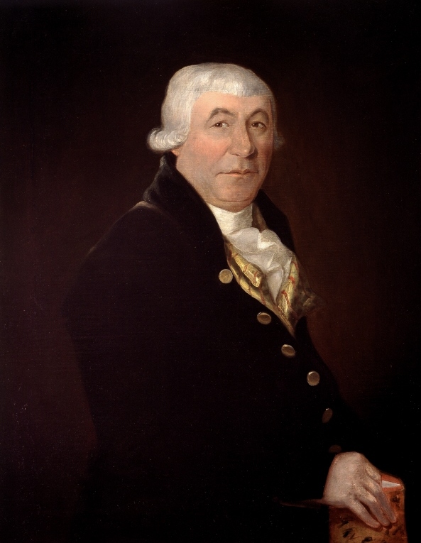
McGill University (french: link=no, Université McGill) is an English-language public research university located in Montreal, Quebec, Canada. Founded in 1821 by royal charter granted by King George IV,Frost, Stanley Brice. ''McGill University, Vol. I. For the Advancement of Learning, 1801–1895.'' McGill-Queen's University Press, 1980. the university bears the name of James McGill, a Scottish merchant whose bequest in 1813 formed the university's precursor, University of McGill College (or simply, McGill College); the name was officially changed to McGill University in 1885. McGill's main campus is on the slope of Mount Royal in downtown Montreal in the borough of Ville-Marie, with a second campus situated in Sainte-Anne-de-Bellevue, west of the main campus on Montreal Island. The university is one of two members of the Association of American Universities located outside the United States, alongside the University of Toronto, and is the only Canadian member of the Glob ... [...More Info...] [...Related Items...] OR: [Wikipedia] [Google] [Baidu] |


