|
Tanyard Creek (Arkansas)
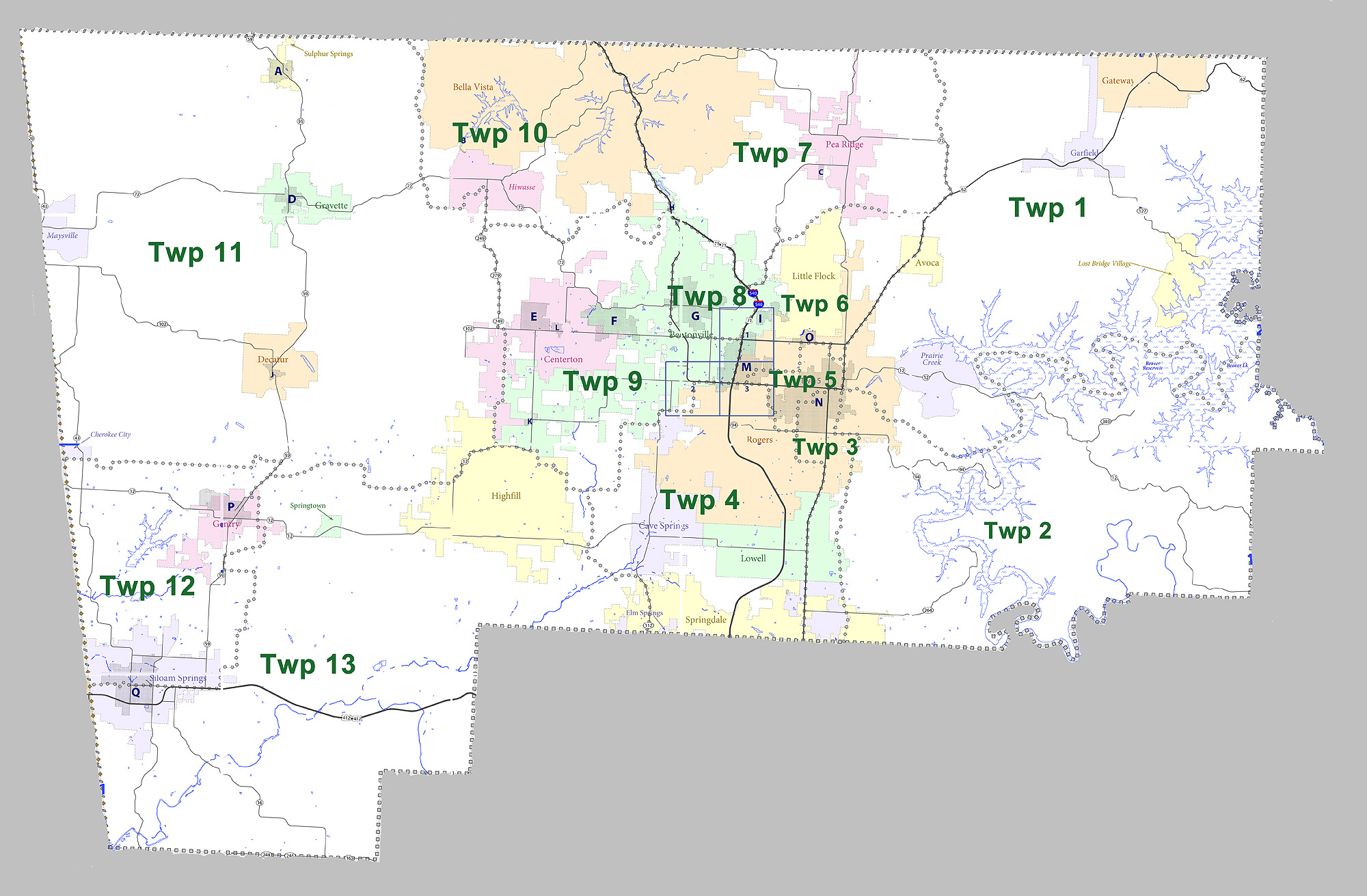
Tanyard Creek is a stream in Benton County in northwest Arkansas. It is a tributary of Little Sugar Creek in the Bella Vista resort region of northwest Benton County. The stream headwaters arise about four miles northwest of Bentonville just east of Arkansas Highway 72 at . The stream flows north and northeast through the Bella Vista community where is contained to form Lake Windsor. Below the dam the stream crosses under Arkansas Highway 340 to its confluence with Little Sugar Creek Little Sugar Creek is a stream in northwestern Benton County, Arkansas and southwestern McDonald County, Missouri. It is a tributary of the Elk River. The headwaters of the stream arise in northeast Benton County just southeast of Garfield (at ... just north of Bella Vista Village and adjacent to U.S. Route 71. The confluence is at with an elevation of .''Arkansas Atlas & Gazetteer,'' DeLorme, 2004, 2nd edition, p. 22, References Rivers of Arkansas Rivers of Benton County, Arkans ... [...More Info...] [...Related Items...] OR: [Wikipedia] [Google] [Baidu] |
Stream
A stream is a continuous body of water, body of surface water Current (stream), flowing within the stream bed, bed and bank (geography), banks of a channel (geography), channel. Depending on its location or certain characteristics, a stream may be referred to by a variety of local or regional names. Long large streams are usually called rivers, while smaller, less voluminous and more intermittent river, intermittent streams are known as streamlets, brooks or creeks. The flow of a stream is controlled by three inputs – surface runoff (from precipitation or meltwater), daylighting (streams), daylighted subterranean river, subterranean water, and surfaced groundwater (Spring (hydrology), spring water). The surface and subterranean water are highly variable between periods of rainfall. Groundwater, on the other hand, has a relatively constant input and is controlled more by long-term patterns of precipitation. The stream encompasses surface, subsurface and groundwater fluxes th ... [...More Info...] [...Related Items...] OR: [Wikipedia] [Google] [Baidu] |
Benton County, Arkansas
Benton County is a county within the Northwest Arkansas region with a culture, economy, and history that have transitioned from rural and agricultural to suburban and white collar since the growth of Walmart, which is headquartered in Benton County. Created as Arkansas's 35th county on September 30, 1836, Benton County contains thirteen incorporated municipalities, including Bentonville, the county seat, and Rogers, the most populous city. The county was named after Thomas Hart Benton, a U.S. Senator from Missouri influential in Arkansas statehood. The county is located within the gently rolling terrain of the Springfield Plateau, a subset of the Ozark Mountains. Much of eastern Benton County is located along Beaver Lake, a reservoir of the White River. The county contains three protected areas: Logan Cave National Wildlife Refuge, Pea Ridge National Military Park, and Devil's Eyebrow Natural Area, as well as parts of the Ozark National Forest, Hobbs State Park – Conser ... [...More Info...] [...Related Items...] OR: [Wikipedia] [Google] [Baidu] |
Arkansas
Arkansas ( ) is a landlocked state in the South Central United States. It is bordered by Missouri to the north, Tennessee and Mississippi to the east, Louisiana to the south, and Texas and Oklahoma to the west. Its name is from the Osage language, a Dhegiha Siouan language, and referred to their relatives, the Quapaw people. The state's diverse geography ranges from the mountainous regions of the Ozark and Ouachita Mountains, which make up the U.S. Interior Highlands, to the densely forested land in the south known as the Arkansas Timberlands, to the eastern lowlands along the Mississippi River and the Arkansas Delta. Arkansas is the 29th largest by area and the 34th most populous state, with a population of just over 3 million at the 2020 census. The capital and most populous city is Little Rock, in the central part of the state, a hub for transportation, business, culture, and government. The northwestern corner of the state, including the Fayetteville–Springdale� ... [...More Info...] [...Related Items...] OR: [Wikipedia] [Google] [Baidu] |
Tributary
A tributary, or affluent, is a stream or river that flows into a larger stream or main stem (or parent) river or a lake. A tributary does not flow directly into a sea or ocean. Tributaries and the main stem river drain the surrounding drainage basin of its surface water and groundwater, leading the water out into an ocean. The Irtysh is a chief tributary of the Ob river and is also the longest tributary river in the world with a length of . The Madeira River is the largest tributary river by volume in the world with an average discharge of . A confluence, where two or more bodies of water meet, usually refers to the joining of tributaries. The opposite to a tributary is a distributary, a river or stream that branches off from and flows away from the main stream. PhysicalGeography.net, Michael Pidwirny & S ... [...More Info...] [...Related Items...] OR: [Wikipedia] [Google] [Baidu] |
Little Sugar Creek
Little Sugar Creek is a stream in northwestern Benton County, Arkansas and southwestern McDonald County, Missouri. It is a tributary of the Elk River. The headwaters of the stream arise in northeast Benton County just southeast of Garfield (at ).''Arkansas Atlas & Gazetteer,'' DeLorme, 2004, 2nd edition, p. 22-23, The stream flows west crossing under U.S. Route 62 west of Brightwater and Arkansas routes 94 and 72 south of Pea Ridge. The stream turns to the northwest and flows parallel to U.S. Route 72 through the Bella Vista area to enter Missouri at the community of Caverna. In Missouri the stream flows northwest passing under Missouri Route 90. The stream passes the community of Havenhurst and reaches its confluence with Big Sugar Creek to form the Elk River just south of Pineville ().''Missouri Atlas & Gazetteer,'' DeLorme, 1998, First edition, p. 60, At Pineville, the creek measures approximately 224 cubic feet per second. Ironically, this stream is actually larger th ... [...More Info...] [...Related Items...] OR: [Wikipedia] [Google] [Baidu] |
Bella Vista, Arkansas
Bella Vista is a city in Benton County, Arkansas, Benton County, Arkansas, United States. First established in 1917 as a summer resort destination, Bella Vista has evolved and redesigned itself over the succeeding years. Bella Vista became a retirement community in 1965, and, after much contention and a 2006 vote of its property owners, became an incorporated city. Following its official incorporation on January 1, 2007, the new city government took over the police department, fire department, streets, trash removal and other city functions, while the Property Owners Association (POA) retained control of the many amenities available to members (property owners) and their guests. Amenities include numerous parks, clubhouses with workout areas, swimming pools, five 18-hole golf courses, two nine-hole golf course, seven lakes with fishing and boat docks (three ski lakes), a marina, swimming beach, putt putt golf courses and tennis courts, dog park, softball field, and extensive hi ... [...More Info...] [...Related Items...] OR: [Wikipedia] [Google] [Baidu] |
Headwaters
The headwaters of a river or stream is the farthest place in that river or stream from its estuary or downstream confluence with another river, as measured along the course of the river. It is also known as a river's source. Definition The United States Geological Survey (USGS) states that a river's "length may be considered to be the distance from the mouth to the most distant headwater source (irrespective of stream name), or from the mouth to the headwaters of the stream commonly known as the source stream". As an example of the second definition above, the USGS at times considers the Missouri River as a tributary of the Mississippi River. But it also follows the first definition above (along with virtually all other geographic authorities and publications) in using the combined Missouri—lower Mississippi length figure in lists of lengths of rivers around the world. Most rivers have numerous tributaries and change names often; it is customary to regard the longest t ... [...More Info...] [...Related Items...] OR: [Wikipedia] [Google] [Baidu] |
Bentonville, Arkansas
Bentonville is the List of cities and towns in Arkansas, tenth-largest city in Arkansas, United States and the county seat of Benton County, Arkansas, Benton County. The city is centrally located in the county with Rogers, Arkansas, Rogers adjacent to the east. The city is the birthplace of and world headquarters location of Walmart, the world's largest retailer. It is one of the four main cities in the three-county Fayetteville-Springdale-Rogers Metropolitan Area, Northwest Arkansas Metropolitan Statistical Area, which is ranked 105th in terms of population in the United States with 546,725 residents in 2020, according to the United States Census Bureau. The city itself had a population of 54,164 at the 2020 United States census, 2020 Census, an increase of 53% from the 2010 United States Census, 2010 Census. Bentonville is considered to be one of the fastest growing cities in the state and consistently ranks amongst the safest cities in Arkansas. History Early history The ar ... [...More Info...] [...Related Items...] OR: [Wikipedia] [Google] [Baidu] |
Arkansas Highway 72
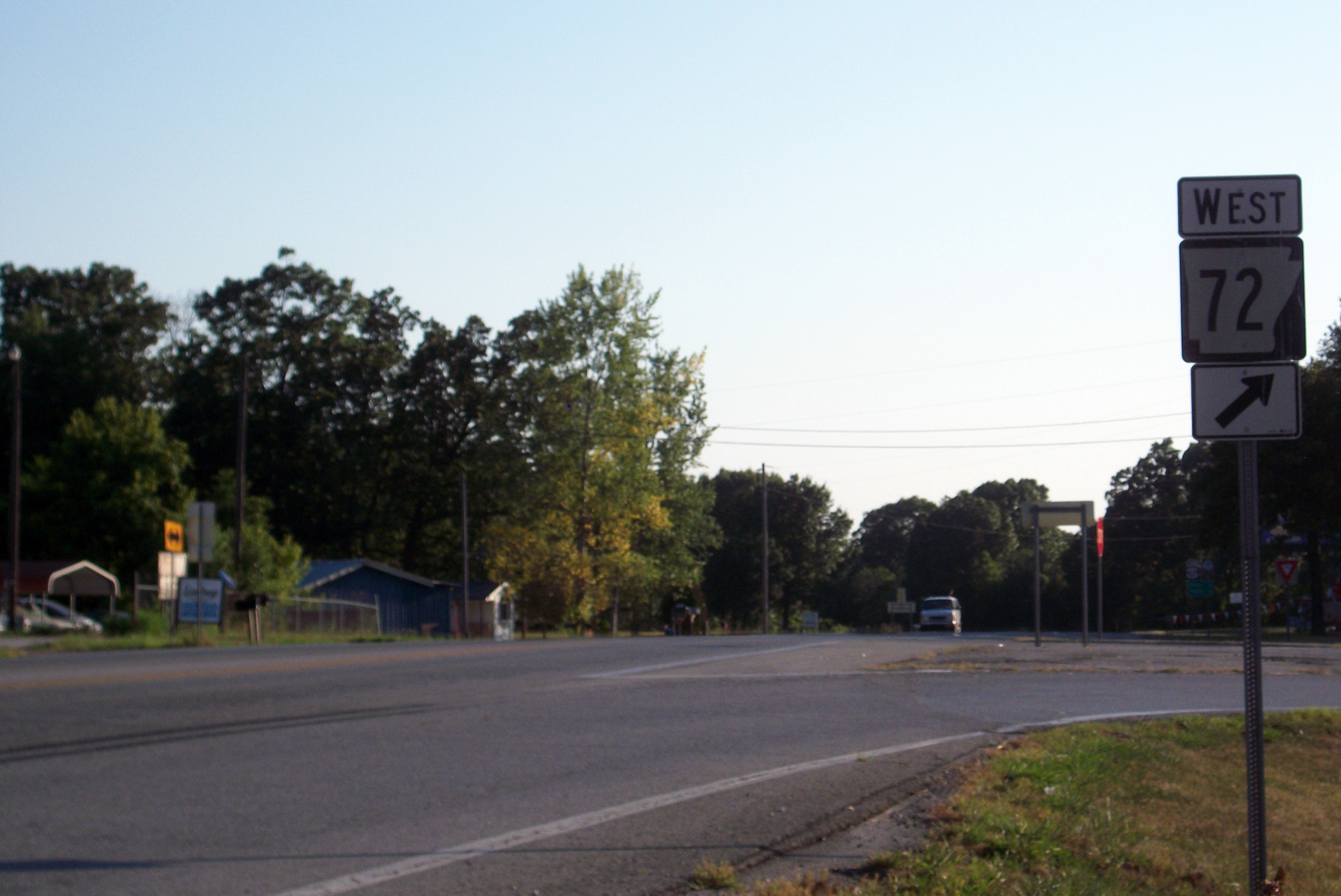
Highway 72 (AR 72, Ark. 72, and Hwy. 72) is a designation for two east–west state highways in Benton County, Arkansas. A western route of runs east from Highway 43 at Maysville to U.S. Route 71B (US 71B) in Bentonville. A second route of begins at Interstate 49/ US Route 71 (I-49/US 71) in Bentonville and runs northeast to US 62 near Avoca. The route is one of the original Arkansas state highways. Route description Maysville to Bentonville The route begins at Highway 43 in Maysville and runs east to Gravette. Highway 72 intersects Highway 59 in Gravette near the Kansas City Southern Railway Caboose No. 383 on the National Register of Historic Places. The highway continues east past the Banks House to the community of Hiwasse within Gravette, having an interchange with I-49 just west of the community, where the highway passes the Hiwasse Bank Building. Upon reaching Hiwasse, Highway 72 has an officially desi ... [...More Info...] [...Related Items...] OR: [Wikipedia] [Google] [Baidu] |
Lake Windsor
Lake Windsor is a man-made lake in the Bella Vista area of Benton County in northwest Arkansas, United States. The lake is on Tanyard Creek just upstream from its confluence with Little Sugar Creek Little Sugar Creek is a stream in northwestern Benton County, Arkansas and southwestern McDonald County, Missouri. It is a tributary of the Elk River. The headwaters of the stream arise in northeast Benton County just southeast of Garfield (at ....''Hiwasse, Arkansas,'' 7.5 Minute Topographic Quadrangle, USGS, 1971 (1982 rev.) References Bodies of water of Benton County, Arkansas Reservoirs in Arkansas Bella Vista, Arkansas {{BentonCountyAR-geo-stub ... [...More Info...] [...Related Items...] OR: [Wikipedia] [Google] [Baidu] |
Arkansas Highway 340
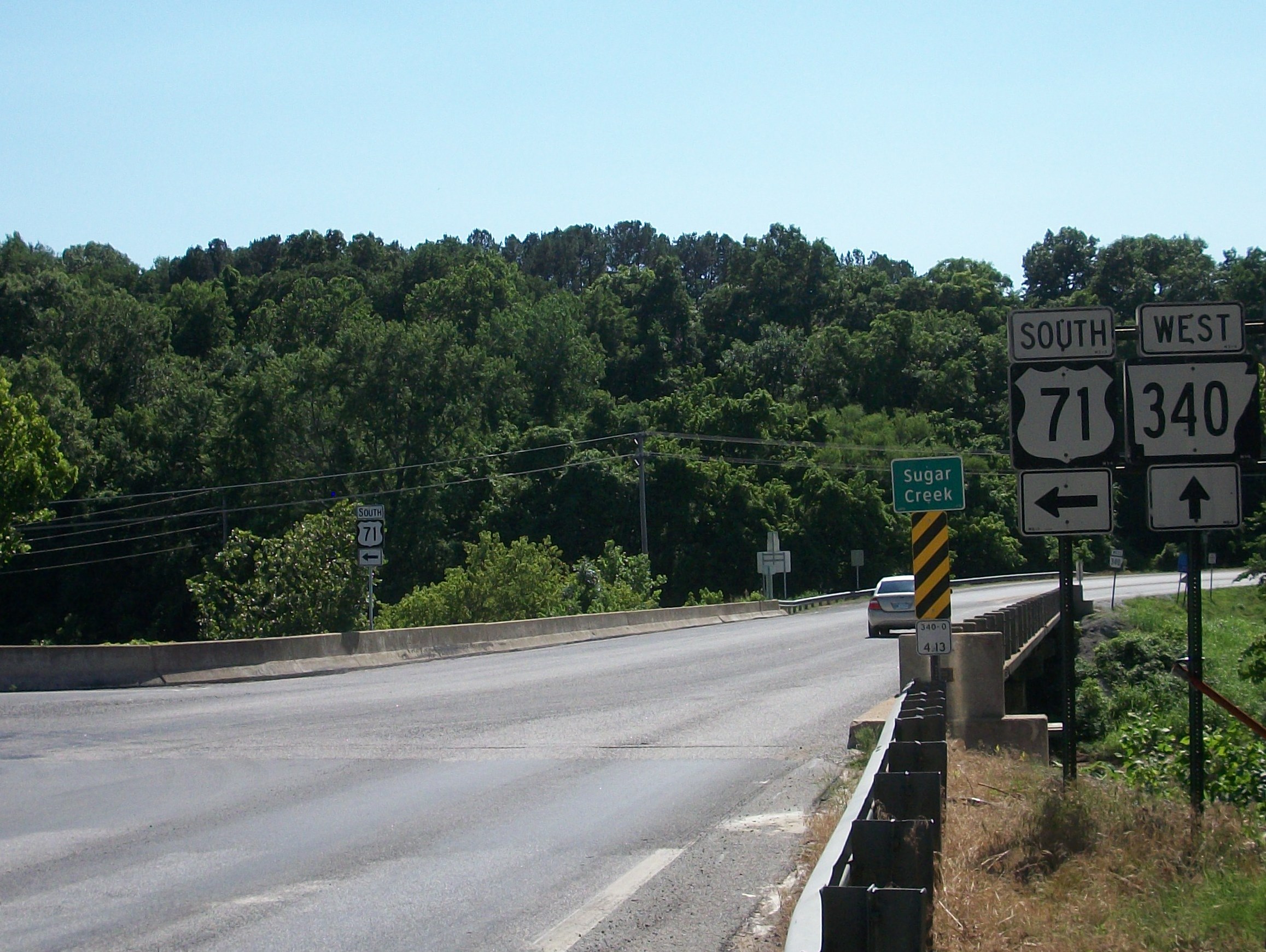
Highway 340 (AR 340, Ark. 340, Hwy. 340, also Lancashire Boulevard) is an east–west state highway in Benton County, Arkansas. The route of runs entirely across Bella Vista, from Arkansas Highway 279 in the west to Arkansas Highway 94 in the east. Route description The highway begins in west Bella Vista at Forest Hills Boulevard near the Northwest Arkansas Community College Bella Vista campus. AR 340 winds past numerous retirement communities and a few lakes on its way through the village. Approximately halfway along its length, AR 340 intersects US Route 71, which is a four-lane expressway. The interchange with US 71 is unusual, with long ramps on the northbound side and cramped southbound ramps. Traffic must exit US 71 and slow immediately to on a 180 degree curve before stopping and gaining access to AR 340. On the other side of US 71, the highway runs near the Mildred B. Cooper Memorial Chapel, built by local architect E. Fay Jones (in similar style to the Thorncrown ... [...More Info...] [...Related Items...] OR: [Wikipedia] [Google] [Baidu] |
Confluence
In geography, a confluence (also: ''conflux'') occurs where two or more flowing bodies of water join to form a single channel. A confluence can occur in several configurations: at the point where a tributary joins a larger river (main stem); or where two streams meet to become the source of a river of a new name (such as the confluence of the Monongahela and Allegheny rivers at Pittsburgh, forming the Ohio); or where two separated channels of a river (forming a river island) rejoin at the downstream end. Scientific study of confluences Confluences are studied in a variety of sciences. Hydrology studies the characteristic flow patterns of confluences and how they give rise to patterns of erosion, bars, and scour pools. The water flows and their consequences are often studied with mathematical models. Confluences are relevant to the distribution of living organisms (i.e., ecology) as well; "the general pattern ownstream of confluencesof increasing stream flow and decreasing s ... [...More Info...] [...Related Items...] OR: [Wikipedia] [Google] [Baidu] |
_nahe_dem_Weiherdamm_in_Wildbergerhütte.jpg)


