|
Subah Of Lahore
The Subah of Lahore was a province of the Mughal Empire encompassing the central Punjab region, now divided between Pakistan and India. It was created as one of the original 12 Subahs of the Mughal Empire under the administrative reforms carried by emperor Akbar in 1580. The province ceased to exist after the death of its last viceroy, Adina Beg in 1758, with large parts being incorporated into Durrani Empire. Geography The subah of Lahore was bordered on the south by the Multan Subah and Delhi Subah, to the north by Kashmir Subah, to the west by the Kabul Subah, and to the north east by the semi-autonomous hill states. History Establishing Mughal control In 1519, Babur first crossed the Indus river and took control of the entire Sind Sagar Doab up to Bhera and Khushab and by 1524 he had sacked Lahore. He then appointed representatives to key positions in his newly occupied territories, including Mir Abdul Aziz at Lahore. He went on to take several key hill forts such as Kuti ... [...More Info...] [...Related Items...] OR: [Wikipedia] [Google] [Baidu] |
Subah
A Subah was the term for a province (State) in the Mughal Empire. The word is derived from Arabic and Persian. The governor/ruler of a ''Subah'' was known as a '' subahdar'' (sometimes also referred to as a "''Subeh''"), which later became ''subedar'' to refer to an officer in the Indian Army and Pakistan Army. The ''subahs'' were established by badshah (emperor) Akbar during his administrative reforms of years 1572–1580; initially they numbered to 12, but his conquests expanded the number of ''subahs'' to 15 by the end of his reign. ''Subahs'' were divided into '' Sarkars'', or districts. ''Sarkars'' were further divided into ''Parganas'' or '' Mahals''. His successors, most notably Aurangzeb, expanded the number of ''subahs'' further through their conquests. As the empire began to dissolve in the early 18th century, many ''subahs'' became effectively independent, or were conquered by the Marathas or the British. In modern context subah ( ur, ) is a word used for province in ... [...More Info...] [...Related Items...] OR: [Wikipedia] [Google] [Baidu] |
Khushab
Khushab ( punjabi: خُوشاب) is a town as well as a district of Sargodha Division, located in the Punjab province of Pakistan. The word ''Khushab'' means "sweet water." Khushab city also serves as the headquarters of Khushab Tehsil, an administrative subdivision of the district Khushab. It is the 77th largest city of Pakistan by population. The city of Khushab is the location of the Khushab Nuclear Complex, a critical part of the Pakistan's Special Weapons Programme. Demographics The population according to the 1901 census was 11,403. Now it is 50,000. in ''Imperial Gazetteer of India'', v. 15, p. 298. Etymology "Khushab" is a combination of two |
Jhelum
Jhelum ( Punjabi and ur, ) is a city on the east bank of the Jhelum River, which is located in the district of Jhelum in the north of Punjab province, Pakistan. It is the 44th largest city of Pakistan by population. Jhelum is known for providing many soldiers to the British Army before independence, and later to the Pakistan armed forces – due to which it is also known as ''City of Soldiers'' or ''Land of Martyrs and Warriors''. Jhelum is a few miles upstream from the site of the ancient Battle of the Hydaspes between the armies of Alexander and King Porus. Possibly Jhelum City was the capital of Porus' Kingdom, Paurava. A city called Bucephala was founded nearby to commemorate the death of Alexander's horse, Bucephalus. Other notable sites nearby include the 16th-century Rohtas Fort, the Tilla Jogian complex of ancient temples, and the 16th-century Grand Trunk Road which passes through the city. According to the 2017 census of Pakistan, the population of Jhelum was 19 ... [...More Info...] [...Related Items...] OR: [Wikipedia] [Google] [Baidu] |
Rohtas Fort
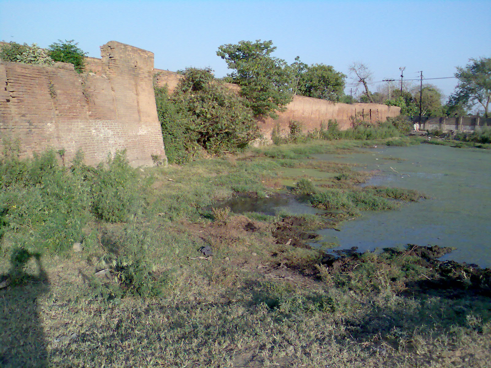
Rohtas Fort or Rotas Ghur ( Punjabi, ur, ; ''Qila Rohtas'') is a 16th-century fortress located near the city of Dina in Jhelum district of the Punjab province of Pakistan. An Afghan warlord turned Padishah, Sher Shah Suri built the fort, which is one of the largest and most formidable in Punjab. Due to its location, massive walls, trap gates, and baolis (stepwells), Rohtas Fort could withstand a major siege but never had to. The fort remains remarkably intact and was declared a UNESCO World Heritage Site in 1997. UNESCO called it an "exceptional example of the Muslim military architecture of South Asia." Location Rohtas Fort is in Pakistan approximately northwest of Jhelum and is near the city of Dina. The fort is from Khukha and Gaggar Khurd. It lies south of the Grand Trunk Road, one of Asia's oldest and longest major roads. The historic Badshahi Road road once passed along the northern outer wall of the fort. Rohtas Fort is situated on a hill in the Tilla Jogia ... [...More Info...] [...Related Items...] OR: [Wikipedia] [Google] [Baidu] |
Afghans
Afghans ( ps, افغانان, translit=afghanan; Persian/ prs, افغان ها, translit=afghānhā; Persian: افغانستانی, romanized: ''Afghanistani'') or Afghan people are nationals or citizens of Afghanistan, or people with ancestry from there. Afghanistan is made up of various ethnicities, of which the Pashtuns, Tajiks, Hazaras and Uzbeks are the largest; the pre-nation state, historical ethnonym Afghan was used to refer to a member of the Pashtun ethnic group. Due to the changing political nature of the state, such as the British-drawn border with Pakistan (then British India) the meaning has changed, and term has shifted to be the national identity of people from Afghanistan from all ethnicities. The two main languages spoken by Afghans are Pashto and Dari (the Afghan dialect of Persian language), and many are bilingual. Background The earliest mention of the name ''Afghan'' (''Abgân'') is by Shapur I of the Sassanid Empire during the 3rd century CE, In the 4th ... [...More Info...] [...Related Items...] OR: [Wikipedia] [Google] [Baidu] |
Sur Empire
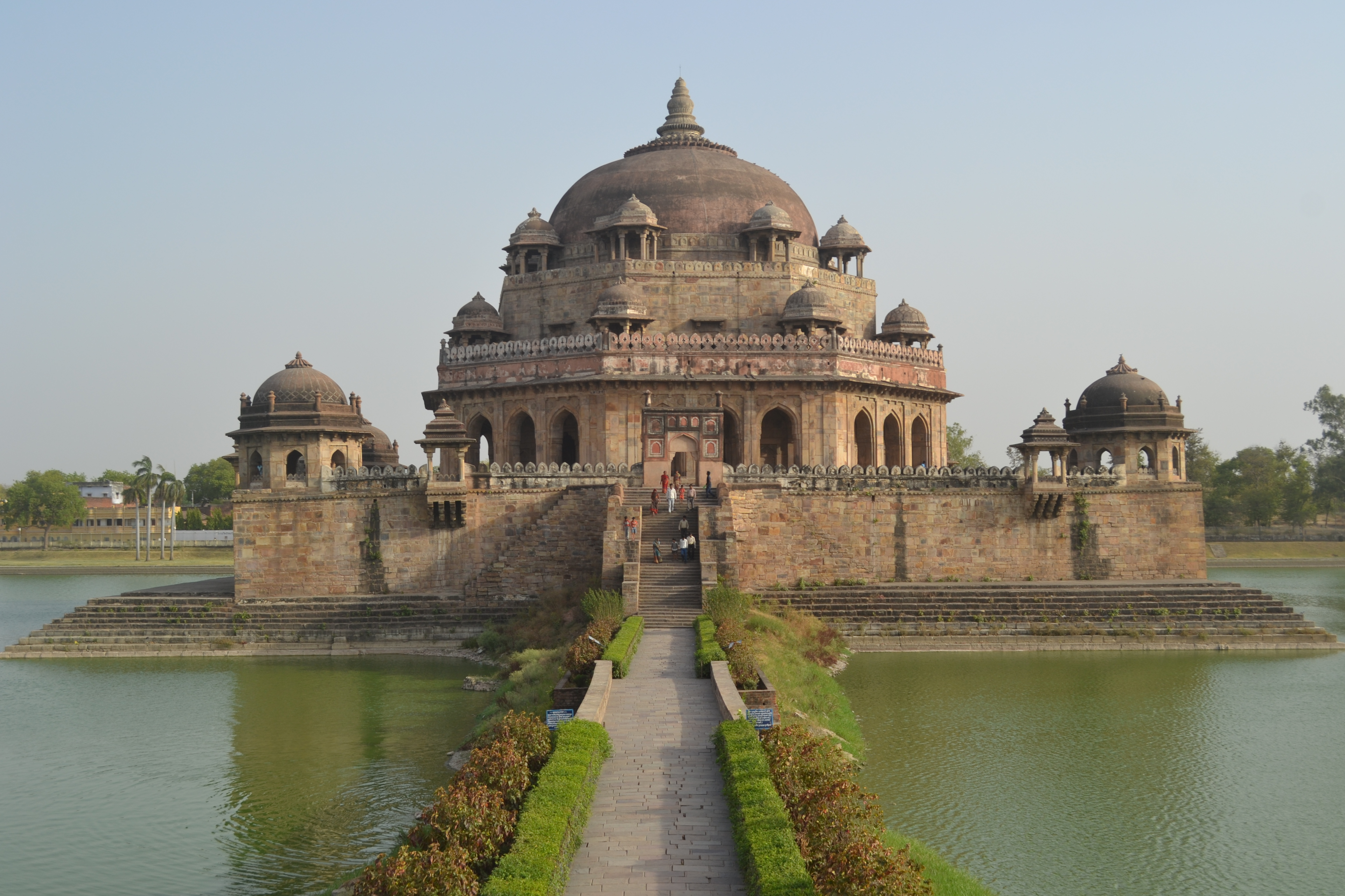
The Sur Empire ( ps, د سرو امپراتورۍ, dë sru amparāturəi; fa, امپراطوری سور, emperâturi sur) was an Afghan dynasty which ruled a large territory in the northern part of the Indian subcontinent for nearly 16 years, between 1540 and 1556, with Sasaram, in modern-day Bihar, serving as its capital. The Sur dynasty held control of nearly all the Mughal territories, from eastern Balochistan, Pakistan in the west to modern-day Rakhine, Myanmar in the east. History Sher Shah, an ethnic Pashtun of the tribal house of Sur, first served as a private before rising to become a commander in the Mughal army under Babur and then the governor of Bihar. In 1537, when Babur's son Humayun was elsewhere on an expedition, Sher Shah overran the state of Bengal and established the Suri dynasty. The Sur supplanted the Mughal dynasty as rulers of North India during the reign of the relatively ineffectual second Mughal Humayun. Sher Shah defeated ''badshah-i-Hind'' ... [...More Info...] [...Related Items...] OR: [Wikipedia] [Google] [Baidu] |
Kabul
Kabul (; ps, , ; , ) is the capital and largest city of Afghanistan. Located in the eastern half of the country, it is also a municipality, forming part of the Kabul Province; it is administratively divided into 22 municipal districts. According to late 2022 estimates, the population of Kabul was 13.5 million people. In contemporary times, the city has served as Afghanistan's political, cultural, and economical centre, and rapid urbanisation has made Kabul the 75th-largest city in the world and the country's primate city. The modern-day city of Kabul is located high up in a narrow valley between the Hindu Kush, and is bounded by the Kabul River. At an elevation of , it is one of the highest capital cities in the world. Kabul is said to be over 3,500 years old, mentioned since at least the time of the Achaemenid Persian Empire. Located at a crossroads in Asia—roughly halfway between Istanbul, Turkey, in the west and Hanoi, Vietnam, in the east—it is situated in a stra ... [...More Info...] [...Related Items...] OR: [Wikipedia] [Google] [Baidu] |
Sher Shah Suri
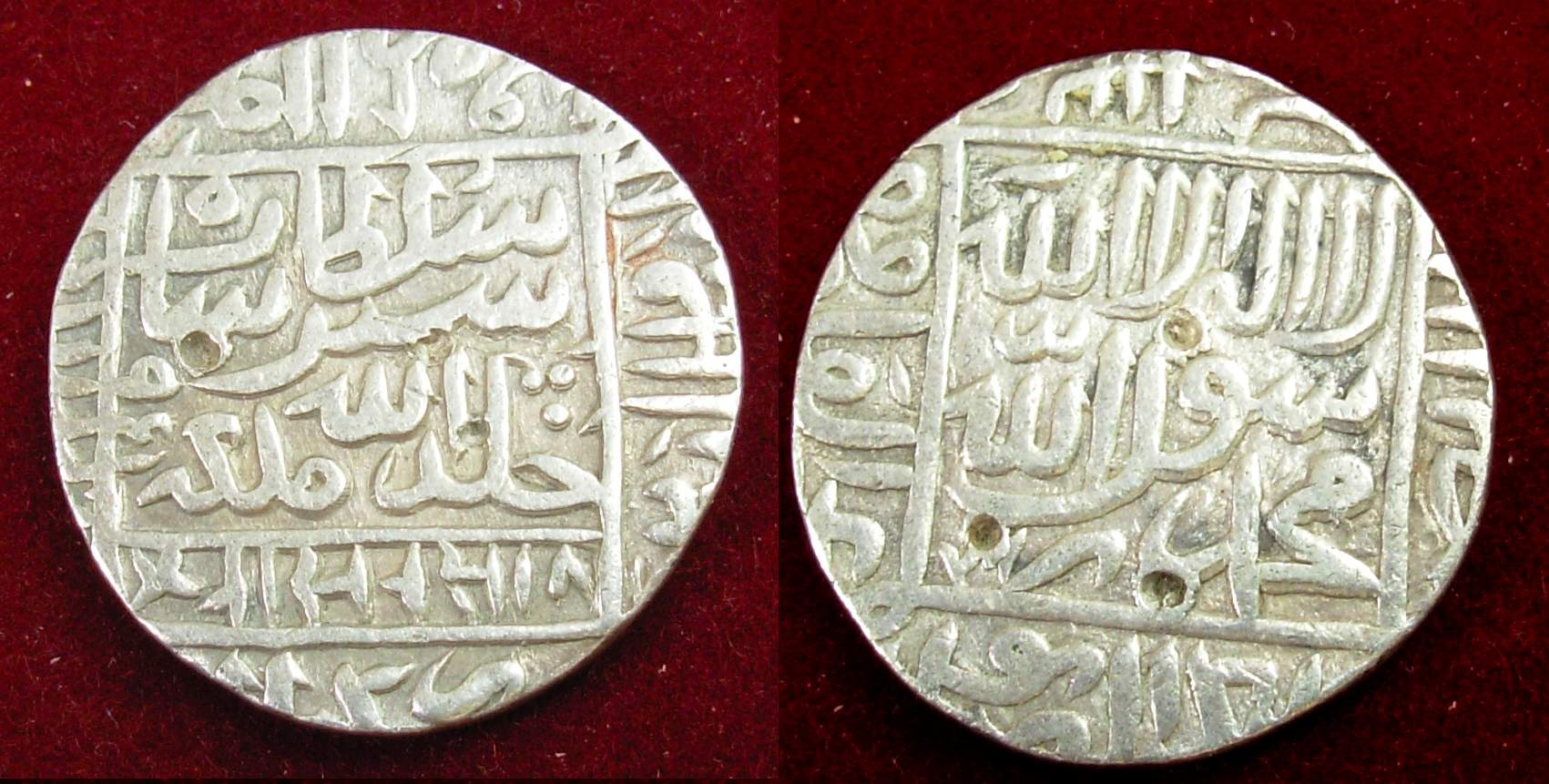
Sher Shah Suri ( ps, شیرشاه سوری) (1472, or 1486 – 22 May 1545), born Farīd Khān ( ps, فرید خان) , was the founder of the Sur Empire in India, with its capital in Sasaram in modern-day Bihar. He standardized the silver coin to the weight of 178 grams and named the currency as rupee based on the ancient Sanskrit term for silver. An ethnic Pashtun ruler, Sher Shah took control of the Mughal Empire in 1540 CE. After his accidental death in 1545 CE, his son Islam Shah became his successor. He first served as a private before rising to become a commander in the Mughal army under Babur and then the governor of Bihar. In 1537, when Babur's son Humayun was elsewhere on an expedition, Sher Shah overran the state of Bengal and established the Suri dynasty. A brilliant strategist, Sher Shah proved himself as a gifted administrator as well as a capable general. His reorganization of the empire laid the foundations for the later Mughal emperors, notably Akbar, son of Hu ... [...More Info...] [...Related Items...] OR: [Wikipedia] [Google] [Baidu] |
Delhi
Delhi, officially the National Capital Territory (NCT) of Delhi, is a city and a union territory of India containing New Delhi, the capital of India. Straddling the Yamuna river, primarily its western or right bank, Delhi shares borders with the state of Uttar Pradesh in the east and with the state of Haryana in the remaining directions. The NCT covers an area of . According to the 2011 census, Delhi's city proper population was over 11 million, while the NCT's population was about 16.8 million. Delhi's urban agglomeration, which includes the satellite cities of Ghaziabad, Faridabad, Gurgaon and Noida in an area known as the National Capital Region (NCR), has an estimated population of over 28 million, making it the largest metropolitan area in India and the second-largest in the world (after Tokyo). The topography of the medieval fort Purana Qila on the banks of the river Yamuna matches the literary description of the citadel Indraprastha in the Sanskrit ... [...More Info...] [...Related Items...] OR: [Wikipedia] [Google] [Baidu] |
Humayun
Nasir-ud-Din Muhammad ( fa, ) (; 6 March 1508 – 27 January 1556), better known by his regnal name, Humāyūn; (), was the second emperor of the Mughal Empire, who ruled over territory in what is now Eastern Afghanistan, Pakistan, Northern India, and Bangladesh from 1530 to 1540 and again from 1555 to 1556. Like his father, Babur, he lost his empire early but regained it with the aid of the Safavid dynasty of Persia, with additional territory. At the time of his death in 1556, the Mughal Empire spanned almost one million square kilometres. In December 1530, Humayun succeeded his father to the throne of Delhi as ruler of the Mughal territories in the Indian subcontinent. Humayun was an inexperienced ruler when he came to power, at the age of 22. His half-brother Kamran Mirza inherited Kabul and Kandahar, the northernmost parts of their father's empire. The two half-brothers would become bitter rivals. Humayun lost Mughal territories to Sher Shah Suri, but regained them 15 ... [...More Info...] [...Related Items...] OR: [Wikipedia] [Google] [Baidu] |
Kamran
Kamran ( fa, کامران ''Kāmrān'') is a Persian male given name meaning 'prosperous, fortunate'. The name is commonly used in Iran and Azerbaijan, in addition to Tajikistan, Afghanistan and Turkey, Pakistan. Variants include Kâmran and Kamuran. Notable people Kamran * Cumrun Vafa, Iranian physicist * Kamran Agayev, Azerbaijani footballer * Kamran Akmal, Pakistani batsman wicketkeeper * Kamran Atif, member of Harkat-ul Mujahideen al-Alami * Kamran Bagheri Lankarani, Iran's Minister of Health and Medical Education * Kamran Baghirov, Azerbaijani politician * Kamran Daneshjoo, Iranian politician, minister * Kamran Diba (born 1937), Iranian architect * Kamran Elahian (born 1954), Iranian-American entrepreneur * Kamran Ghadakchian (born 1947), Iranian director * Kamran Hedayati (1949–1996), Kurdish-Iranian dissident * Kamran Ince (born 1960), Turkish-American composer * Kamran Khan (other), several people * Kamran Mirza (1509–1557), the second son of Babur, the f ... [...More Info...] [...Related Items...] OR: [Wikipedia] [Google] [Baidu] |
Sutlej River
The Sutlej or Satluj River () is the longest of the five rivers that flow through the historic crossroads region of Punjab in northern India and Pakistan. The Sutlej River is also known as ''Satadru''. It is the easternmost tributary of the Indus River. The Bhakra Dam is built around the river Sutlej to provide irrigation and other facilities to the states of Punjab, Rajasthan and Haryana. The waters of the Sutlej are allocated to India under the Indus Waters Treaty between India and Pakistan, and are mostly diverted to irrigation canals in India like the Sirhind Canal, Bhakra Main Line and the Rajasthan canal. The mean annual flow is 14 million acre feet (MAF) upstream of Ropar barrage, downstream of the Bhakra dam. It has several major hydroelectric points, including the 1,325 MW Bhakra Dam, the 1,000 MW Karcham Wangtoo Hydroelectric Plant, and the 1,500 MW Nathpa Jhakri Dam. The drainage basin in India includes the states and union territories of Himachal Pra ... [...More Info...] [...Related Items...] OR: [Wikipedia] [Google] [Baidu] |


