|
Sombra–Marine City (Bluewater) Ferry
The Sombra – Marine City (Bluewater) Ferry was a ferry service that crossed the St. Clair River, connecting Sombra, Ontario in Canada on the eastern bank with Marine City, Michigan in the United States on the western bank. Vehicles accessed the ferry from Lambton County Road 33/St. Clair Parkway (a former alignment of Highway 40) in Sombra or from Highway M-29 in Marine City. In Sombra on the Ontario/Canadian side, the dock was on King Street. On the Michigan Michigan () is a U.S. state, state in the Great Lakes region, Great Lakes region of the Upper Midwest, upper Midwestern United States. With a population of nearly 10.12 million and an area of nearly , Michigan is the List of U.S. states and .../American side, the dock was on South Water Street. In July, 2013 the ferry was charging a toll of $7.00 (CAN or US) for an automobile. The first departure from Sombra was 6:40 AM, and from Marine City was 7:00 AM. Ferry vessels The Bluewater Ferry operated two vessels, th ... [...More Info...] [...Related Items...] OR: [Wikipedia] [Google] [Baidu] |
Sombra, Ontario
Sombra is a village situated on the St. Clair River, in southwestern Ontario, Canada within the municipality of St. Clair, Ontario, St. Clair Township. In its early days, the village developed out of local transport and agricultural trade via rail and ship and evolved mainly into a summer resort community, serving seasonal residences and summer cottagers through much of its history. The village is now home to mostly permanent residences and commuters supported by larger cities and towns such as Sarnia, Ontario, Sarnia, Corunna, Ontario, Corunna, and Wallaceburg, Ontario, Wallaceburg. Each year, in July, the town hosts Sombra Days. This community is served by two elementary schools, several churches and a small service industry. The public school i [...More Info...] [...Related Items...] OR: [Wikipedia] [Google] [Baidu] |
Marine City, Michigan
Marine City is a city in St. Clair County in the U.S. state of Michigan. Located on the west bank of the St. Clair River, it is one of the cities in the River District north of Detroit and south of Lake Huron. In the late 19th century, it was a major center of wooden shipbuilding and lumber processing. The population was 4,248 at the 2010 census. The city formerly featured an international auto ferry service, The Bluewater Ferry to Sombra, Ontario, Canada across the river. Geography *According to the United States Census Bureau, the city has a total area of , of which is land and is water. *It is considered to be part of the Thumb of Michigan, which in turn is a subregion of the Flint/Tri-Cities. **Marine City can also be considered as in the Blue Water Area, a subregion of the Thumb. *It is part of the Detroit-Warren-Livonia Metropolitan Statistical Area (MSA) and the Detroit-Ann Arbor-Flint Combined Statistical Area (CSA). History The area of Marine City had been Ojib ... [...More Info...] [...Related Items...] OR: [Wikipedia] [Google] [Baidu] |
Highway 40 (Ontario)
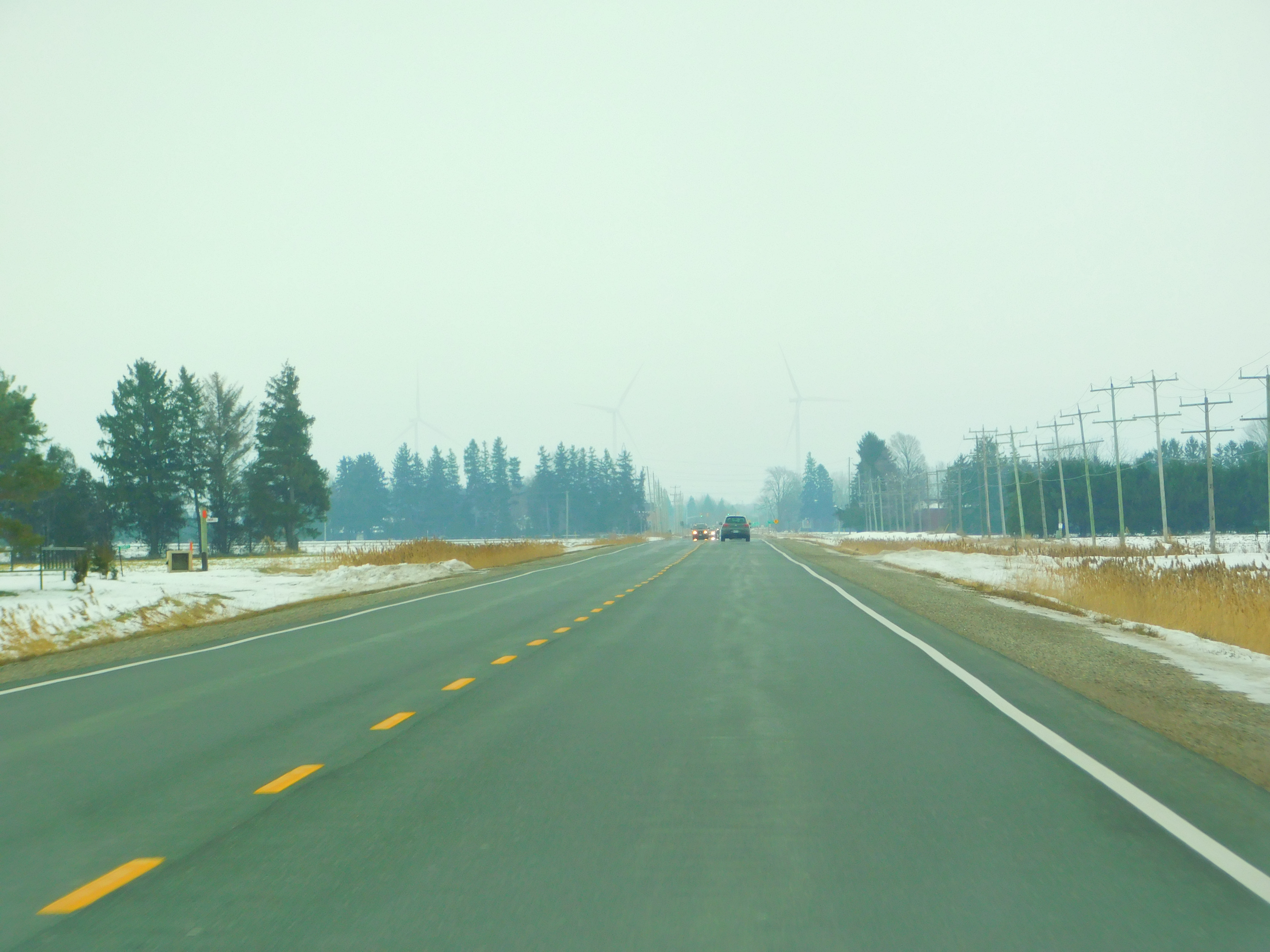
King's Highway 40, commonly referred to as Highway 40, is a Ontario Provincial Highway Network, provincially maintained highway in the Southwestern Ontario, southwestern portion of the Provinces and territories of Canada, Canadian province of Ontario. The route links Chatham, Ontario, Chatham and Sarnia via Wallaceburg, following close to the St. Clair River. The southern terminus is at Highway 401 south of Chatham, while the northern terminus is at Ontario Highway 402, Highway 402 in Sarnia. The portion of Highway 40 between Highway 401 and north of Wallaceburg is within the municipality of Chatham-Kent, while the portion north of there is within Lambton County. Highway 40 was built as a Great depression, depression-relief project in 1934. The original routing followed what is now the St. Clair Parkway, but was rerouted to create that scenic road in the mid-1970s. The Sarnia Bypass was opened in 1963 as Highway 40A and renumbered as Highway 40 by 19 ... [...More Info...] [...Related Items...] OR: [Wikipedia] [Google] [Baidu] |
M-29 (Michigan Highway)
M-29 is a state trunkline highway in the US state of Michigan that runs in a south–north direction from Chesterfield Township to Marysville. It generally runs along the shore of Lake St. Clair and the St. Clair River. The M-29 designation has been used twice in Michigan starting in 1919. The first designation near Lansing was replaced by U.S. Route 27 (US 27) in 1926. At that time, the M-29 designation was moved to the east side of the state along the current routing and farther north along part of what became US 25 and M-25. The 1933 extension of US 25 replaced the northern section of M-29 leading to the current location of M-29. Route description The route generally follows the eastern border of the state along the northwest shore of Lake St. Clair and the western bank of the St. Clair River. From Algonac to its northern terminus in Marysville, M-29 is within a mile of Ontario, just across the river to the east. The route starts at an interchange with Interstate 9 ... [...More Info...] [...Related Items...] OR: [Wikipedia] [Google] [Baidu] |
Ontario
Ontario ( ; ) is one of the thirteen provinces and territories of Canada.Ontario is located in the geographic eastern half of Canada, but it has historically and politically been considered to be part of Central Canada. Located in Central Canada, it is Canada's most populous province, with 38.3 percent of the country's population, and is the second-largest province by total area (after Quebec). Ontario is Canada's fourth-largest jurisdiction in total area when the territories of the Northwest Territories and Nunavut are included. It is home to the nation's capital city, Ottawa, and the nation's most populous city, Toronto, which is Ontario's provincial capital. Ontario is bordered by the province of Manitoba to the west, Hudson Bay and James Bay to the north, and Quebec to the east and northeast, and to the south by the U.S. states of (from west to east) Minnesota, Michigan, Ohio, Pennsylvania, and New York. Almost all of Ontario's border with the United States f ... [...More Info...] [...Related Items...] OR: [Wikipedia] [Google] [Baidu] |
Michigan
Michigan () is a state in the Great Lakes region of the upper Midwestern United States. With a population of nearly 10.12 million and an area of nearly , Michigan is the 10th-largest state by population, the 11th-largest by area, and the largest by area east of the Mississippi River.''i.e.'', including water that is part of state territory. Georgia is the largest state by land area alone east of the Mississippi and Michigan the second-largest. Its capital is Lansing, and its largest city is Detroit. Metro Detroit is among the nation's most populous and largest metropolitan economies. Its name derives from a gallicized variant of the original Ojibwe word (), meaning "large water" or "large lake". Michigan consists of two peninsulas. The Lower Peninsula resembles the shape of a mitten, and comprises a majority of the state's land area. The Upper Peninsula (often called "the U.P.") is separated from the Lower Peninsula by the Straits of Mackinac, a channel that joins Lak ... [...More Info...] [...Related Items...] OR: [Wikipedia] [Google] [Baidu] |
Walpole–Algonac Ferry
The Walpole–Algonac Ferry serves the city of Algonac, Michigan, and the First Nation reserve of Walpole Island, and (indirectly), Wallaceburg, Ontario, via Highway 40 (Ontario), Highway 40 and Chatham-Kent Road 32. It serves as a border crossing of the Canada–United States border. The Walpole–Algonac Ferry Line has been in operation for over 100 years. Operating out of Walpole Island (Ontario, Canada), the ferry crosses the St. Clair River to Algonac (Michigan, USA) and is the closest route between Detroit and Chatham/Wallaceburg/London/Toronto areas. The two-ferry operation (12 car and 9 car) runs daily, year-round (weather permitting), with a crossing time of approximately seven minutes. External links Ferries of Michigan Ferries of Ontario St. Clair River Transportation in St. Clair County, Michigan Transport in Lambton County Canada–United States border crossings {{Michigan-transport-stub ... [...More Info...] [...Related Items...] OR: [Wikipedia] [Google] [Baidu] |
Ferries Of Michigan
A ferry is a ship, watercraft or amphibious vehicle used to carry passengers, and sometimes vehicles and cargo, across a body of water. A passenger ferry with many stops, such as in Venice, Italy, is sometimes called a water bus or water taxi. Ferries form a part of the public transport systems of many waterside cities and islands, allowing direct transit between points at a capital cost much lower than bridges or tunnels. Ship connections of much larger distances (such as over long distances in water bodies like the Mediterranean Sea) may also be called ferry services, and many carry vehicles. History In ancient times The profession of the ferryman is embodied in Greek mythology in Charon, the boatman who transported souls across the River Styx to the Underworld. Speculation that a pair of oxen propelled a ship having a water wheel can be found in 4th century Roman literature "''Anonymus De Rebus Bellicis''". Though impractical, there is no reason why it could not work ... [...More Info...] [...Related Items...] OR: [Wikipedia] [Google] [Baidu] |
Ferries Of Ontario
A ferry is a ship, watercraft or amphibious vehicle used to carry passengers, and sometimes vehicles and cargo, across a body of water. A passenger ferry with many stops, such as in Venice, Italy, is sometimes called a water bus or water taxi. Ferries form a part of the public transport systems of many waterside cities and islands, allowing direct transit between points at a capital cost much lower than bridges or tunnels. Ship connections of much larger distances (such as over long distances in water bodies like the Mediterranean Sea) may also be called ferry services, and many carry vehicles. History In ancient times The profession of the ferryman is embodied in Greek mythology in Charon, the boatman who transported souls across the River Styx to the Underworld. Speculation that a pair of oxen propelled a ship having a water wheel can be found in 4th century Roman literature "''Anonymus De Rebus Bellicis''". Though impractical, there is no reason why it could not work ... [...More Info...] [...Related Items...] OR: [Wikipedia] [Google] [Baidu] |
Transportation In St
Transport (in British English), or transportation (in American English), is the intentional movement of humans, animals, and goods from one location to another. Modes of transport include air, land (rail and road), water, cable, pipeline, and space. The field can be divided into infrastructure, vehicles, and operations. Transport enables human trade, which is essential for the development of civilizations. Transport infrastructure consists of both fixed installations, including roads, railways, airways, waterways, canals, and pipelines, and terminals such as airports, railway stations, bus stations, warehouses, trucking terminals, refueling depots (including fueling docks and fuel stations), and seaports. Terminals may be used both for interchange of passengers and cargo and for maintenance. Means of transport are any of the different kinds of transport facilities used to carry people or cargo. They may include vehicles, riding animals, and pack animals. Vehicles may in ... [...More Info...] [...Related Items...] OR: [Wikipedia] [Google] [Baidu] |
Transport In Lambton County
Transport (in British English), or transportation (in American English), is the intentional Motion, movement of humans, animals, and cargo, goods from one location to another. Mode of transport, Modes of transport include aviation, air, land transport, land (rail transport, rail and road transport, road), ship transport, water, cable transport, cable, pipeline transport, pipeline, and space transport, space. The field can be divided into infrastructure, vehicles, and business operations, operations. Transport enables human trade, which is essential for the development of civilizations. Transport infrastructure consists of both fixed installations, including roads, railways, airway (aviation), airways, waterways, canals, and pipeline transport, pipelines, and terminals such as airports, train station, railway stations, bus stations, warehouses, trucking terminals, refueling depots (including fueling docks and fuel stations), and seaports. Terminals may be used both for intercha ... [...More Info...] [...Related Items...] OR: [Wikipedia] [Google] [Baidu] |


