|
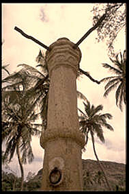
São Domingos, Cape Verde
São Domingos (also: ''Várzea da Igreja'') is a cityCabo Verde, Statistical Yearbook 2015 Instituto Nacional de Estatística, p. 32-33 in the central part of the island of , . In 2010 its population was 2,818. It is the seat of the [...More Info...] [...Related Items...] OR: [Wikipedia] [Google] [Baidu] |
Instituto Nacional De Estatística (Cape Verde)
The Instituto Nacional de Estatística (Portuguese for the ''National Statistics Institute'', abbreviated as INE) is the public statistics institute of Cape Verde. Its current president is Osvaldo Rui Monteiro dos Reis Borges. The population censuses are held every first year of a decade; the most recent was in 2010. Its main office is on 18 Rua da Caixa Económica in the capital city of Praia. History Until 1975, under Portuguese rule, statistics were done by the Provincial Statistics Bureau (''Repartição Provincial de Estatística''), part of the Instituto Nacional de Estatística of Portugal. When Cape Verde became independent, the ''Serviço Nacional de Estatística'' (SNE, Portuguese for the National Statistics Service) was established, part of the Ministry of Economy. Its first president was Edgard Chrysostome Pinto. At the end of 1985, the Directorate-General of Statistics was created. In 1996, the new law of the National Statistics System was approved, and the ''Istituto ... [...More Info...] [...Related Items...] OR: [Wikipedia] [Google] [Baidu] |
Santiago, Cape Verde
Santiago (Portuguese for “ Saint James”) is the largest island of Cape Verde, its most important agricultural centre and home to half the nation's population. Part of the Sotavento Islands, it lies between the islands of Maio ( to the east) and Fogo ( to the west). It was the first of the islands to be settled: the town of Ribeira Grande (now Cidade Velha and a UNESCO World Heritage Site) was founded in 1462. Santiago is home to the nation's capital city of Praia. History The eastern side of the nearby island of Fogo collapsed into the ocean 73,000 years ago, creating a tsunami 170 meters high which struck Santiago. In 1460, António de Noli became the first to visit the island. Da Noli settled at ''Ribeira Grande'' (now Cidade Velha) with his family members and Portuguese from Algarve and Alentejo in 1462.Valor simbóli ... [...More Info...] [...Related Items...] OR: [Wikipedia] [Google] [Baidu] |
Cape Verde
, national_anthem = () , official_languages = Portuguese , national_languages = Cape Verdean Creole , capital = Praia , coordinates = , largest_city = capital , demonym = Cape Verdean or Cabo Verdean , ethnic_groups_year = 2017 , government_type = Unitary semi-presidential republic , leader_title1 = President , leader_name1 = José Maria Neves , leader_title2 = Prime Minister , leader_name2 = Ulisses Correia e Silva , legislature = National Assembly , area_rank = 166th , area_km2 = 4033 , area_sq_mi = 1,557 , percent_water = negligible , population_census = 561,901 , population_census_rank = 172nd , population_census_year = 2021 , population_density_km2 = 123.7 , population_density_sq_mi = 325.0 , population_density_rank = 89th , GDP_PPP ... [...More Info...] [...Related Items...] OR: [Wikipedia] [Google] [Baidu] |
São Domingos, Cape Verde (municipality)
São Domingos is a ''concelho'' (municipality) of Cape Verde. It is situated in the southeastern part of the island of Santiago. Its seat is the city São Domingos (''Várzea da Igreja''). Its population was 13,699 at the 2010 census, and its area is 147.5 km2. The two major settlements in the concelho are São Domingos and Praia Baixo, São Domingos (population about 3,000) being the largest settlement in the area. Smaller settlements in the area include Água do Gato, Achada Banana and Rui Vaz, which is situated on the edge of a 1 km high cliff overlooking Ribeirão Galinha. While Rui Vaz and Praia Baixo are the main tourist draws in the area, tourism does not constitute a major factor in the region’s overwhelmingly agrarian economy. Farmlands cover the eastern and the central parts, where runoff from the center of the island allows a higher water table and loamier soils than the dense clays found on most of the island. Mountains dominate the western border, wh ... [...More Info...] [...Related Items...] OR: [Wikipedia] [Google] [Baidu] |
Praia
Praia (, Portuguese language, Portuguese for "beach") is the capital and largest city of Cape Verde.Cape Verde, Statistical Yearbook 2015 Instituto Nacional de Estatística (Cape Verde), Instituto Nacional de Estatística Located on the southern coast of Santiago, Cape Verde, Santiago island, within the Sotavento Islands group, the city is the seat of the Praia, Cape Verde (municipality), Praia Municipality. Praia is the economic, political, and cultural center of Cape Verde. History  The island of Santiago was discovered by António da Noli in 1460.
 [...More Info...] [...Related Items...] OR: [Wikipedia] [Google] [Baidu] |
EN1-ST01
EN1-ST01 is a first class national road on the island of Santiago, Cape Verde. It runs from the capital Praia in the south to Tarrafal in the north, through the mountainous interior of the island. Instituto de Estradas It is 61 km long. The main intersections are: *north of Praia: '' da Praia'' (EN1-ST06) *north of : to (EN1-ST02) *east of |
Jacques-Nicolas Bellin
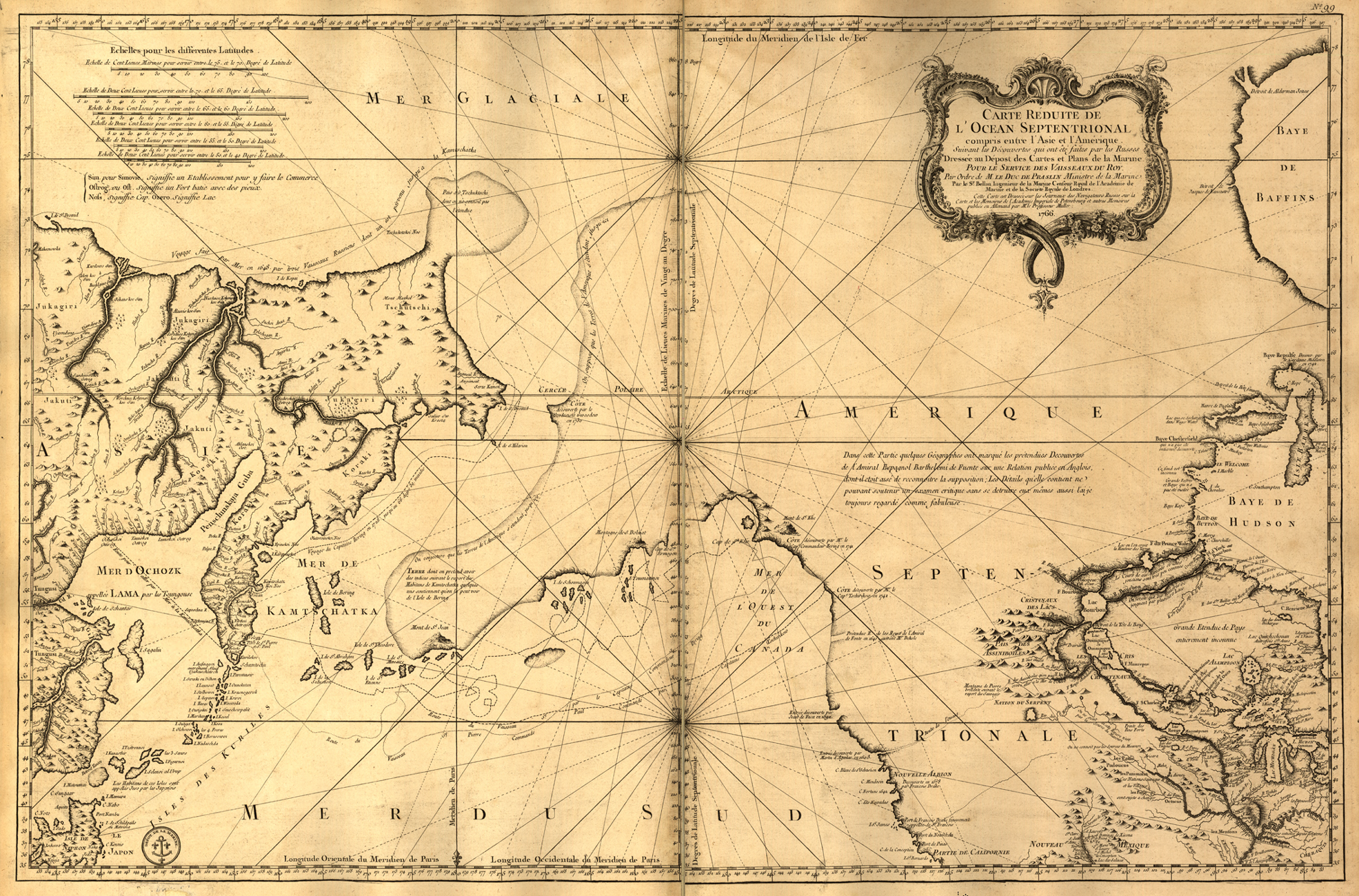
Jacques Nicolas Bellin (1703 – 21 March 1772) was a French hydrographer, geographer, and member of the French intellectual group called the philosophes. Bellin was born in Paris. He was hydrographer of France's hydrographic office, member of the ''Académie de Marine'' and of the Royal Society of London. Over a 50-year career, he produced many maps of particular interest to the ''Ministère de la Marine''. His maps of Canada and of French territories in North America (New France, Acadia, Louisiana) are particularly valuable. He died at Versailles. First ''Ingenieur de la Marine'' In 1721, at age 18, he was appointed hydrographer (chief cartographer) to the French Navy. In August 1741, he became the first ''Ingénieur de la Marine of the Dépot des cartes et plans de la Marine'' (the French Hydrographical Office) and was named Official Hydrographer of the French King. Prodigious work, high standard of excellence During his reign the Depot published a prodigious number of cha ... [...More Info...] [...Related Items...] OR: [Wikipedia] [Google] [Baidu] |
Banana Plantation In Sao Domingos
A banana is an elongated, edible fruit – botanically a berry – produced by several kinds of large herbaceous flowering plants in the genus ''Musa''. In some countries, bananas used for cooking may be called "plantains", distinguishing them from dessert bananas. The fruit is variable in size, color, and firmness, but is usually elongated and curved, with soft flesh rich in starch covered with a rind, which may be green, yellow, red, purple, or brown when ripe. The fruits grow upward in clusters near the top of the plant. Almost all modern edible seedless ( parthenocarp) bananas come from two wild species – ''Musa acuminata'' and ''Musa balbisiana''. The scientific names of most cultivated bananas are ''Musa acuminata'', ''Musa balbisiana'', and ''Musa'' × ''paradisiaca'' for the hybrid ''Musa acuminata'' × ''M. balbisiana'', depending on their genomic constitution. The old scientific name for this hybrid, ''Musa sapientum'', is no longer used. ''Musa' ... [...More Info...] [...Related Items...] OR: [Wikipedia] [Google] [Baidu] |

.jpg)

.jpg)

