|
EN1-ST01
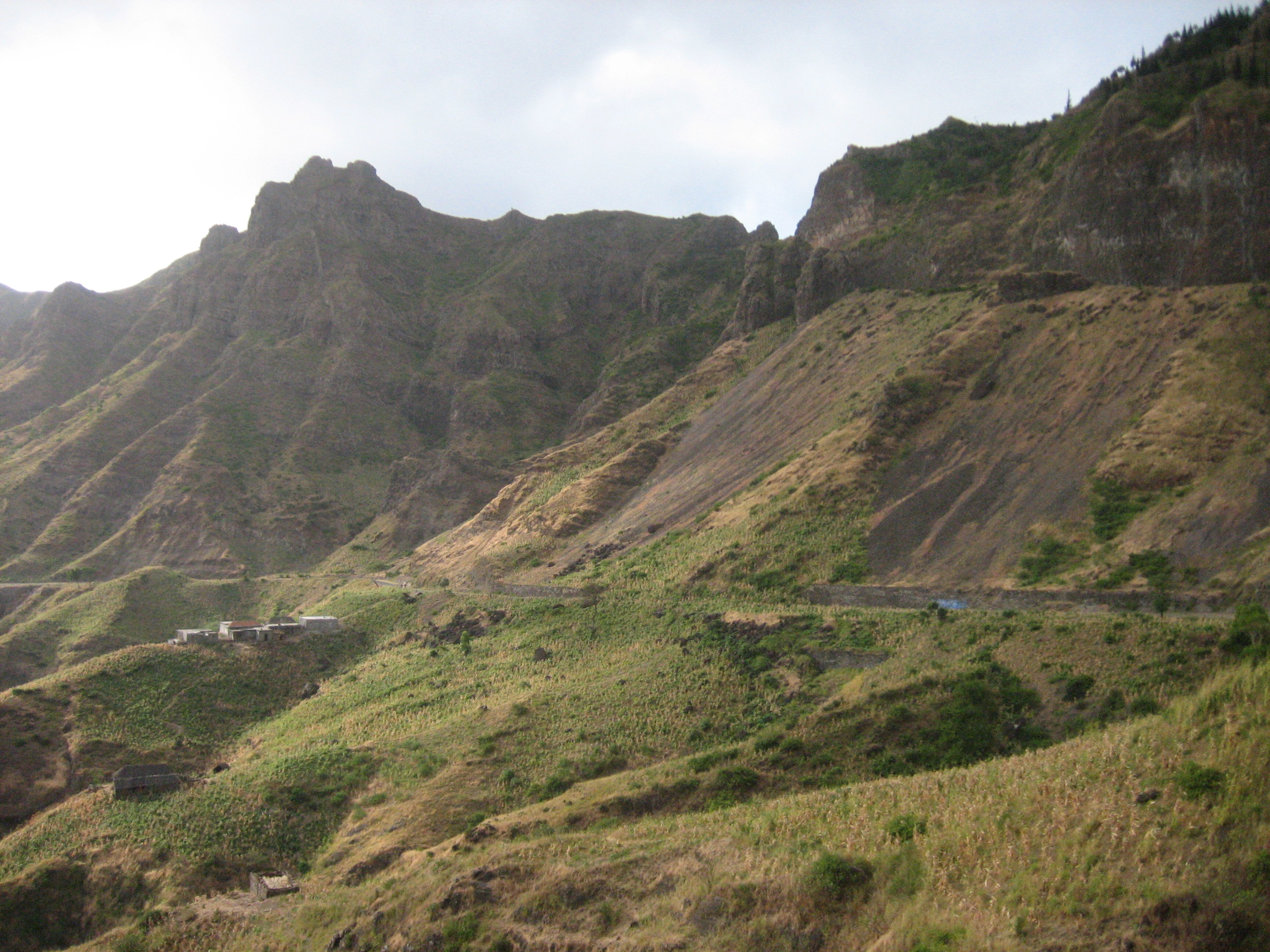
EN1-ST01 is a first class national road on the island of Santiago, Cape Verde. It runs from the capital Praia in the south to Tarrafal in the north, through the mountainous interior of the island. Instituto de Estradas It is 61 km long. The main intersections are: *north of Praia: '' da Praia'' (EN1-ST06) *north of : to (EN1-ST02) *east of |
Roads In Cape Verde
This article is related to roads in Cape Verde. There are three categories of national roads (EN1, EN2, EN3), rural roads (ER) and municipal roads (EM). Municipal roads are managed by the municipalities, the national and rural roads are managed by the ''Instituto de Estradas''. The total length of the national road network is 1,113 km; the total length of the municipal road networks is 537 km. Of the national roads, 36% (by length) is asphalted. Instituto de Estradas EN1 are first class national roads, EN2 are second class national roads and EN3 are third class national roads. Next is the first two letters which represent the island abbreviation, then the number. Only national roads are listed below. Boa Vista Brava Fogo [...More Info...] [...Related Items...] OR: [Wikipedia] [Google] [Baidu] |
Praia
Praia (, Portuguese language, Portuguese for "beach") is the capital and largest city of Cape Verde.Cape Verde, Statistical Yearbook 2015 Instituto Nacional de Estatística (Cape Verde), Instituto Nacional de Estatística Located on the southern coast of Santiago, Cape Verde, Santiago island, within the Sotavento Islands group, the city is the seat of the Praia, Cape Verde (municipality), Praia Municipality. Praia is the economic, political, and cultural center of Cape Verde. History  The island of Santiago was discovered by António da Noli in 1460.
 [...More Info...] [...Related Items...] OR: [Wikipedia] [Google] [Baidu] |
Ribeirão Chiqueiro - Tarrafal) passes near the village.
Ribeirão Chiqueiro is a village in the southcentral part of the island of Santiago, Cape Verde. It is part of the municipality of São Domingos. It is 5 km southeast of the municipal seat São Domingos. In 2010 its population was 775. Its elevation is around 270 m. The national road EN1-ST01 (Praia - Assomada Assomada is a cityCabo Verde, Statistical Yearbook 2015 References {{Subdivisions of Santiago, Cape Verde Villages and settlements in Santiago, ...[...More Info...] [...Related Items...] OR: [Wikipedia] [Google] [Baidu] |
Transport In Santiago, Cape Verde
Santiago (Portuguese for “ Saint James”) is the largest island of Cape Verde, its most important agricultural centre and home to half the nation's population. Part of the Sotavento Islands, it lies between the islands of Maio ( to the east) and Fogo ( to the west). It was the first of the islands to be settled: the town of Ribeira Grande (now Cidade Velha and a UNESCO World Heritage Site) was founded in 1462. Santiago is home to the nation's capital city of Praia. History The eastern side of the nearby island of Fogo collapsed into the ocean 73,000 years ago, creating a tsunami 170 meters high which struck Santiago. In 1460, António de Noli became the first to visit the island. Da Noli settled at ''Ribeira Grande'' (now Cidade Velha) with his family members and Portuguese from Algarve and Alentejo in 1462.Valor simbóli ... [...More Info...] [...Related Items...] OR: [Wikipedia] [Google] [Baidu] |
Santiago, Cape Verde
Santiago (Portuguese for “ Saint James”) is the largest island of Cape Verde, its most important agricultural centre and home to half the nation's population. Part of the Sotavento Islands, it lies between the islands of Maio ( to the east) and Fogo ( to the west). It was the first of the islands to be settled: the town of Ribeira Grande (now Cidade Velha and a UNESCO World Heritage Site) was founded in 1462. Santiago is home to the nation's capital city of Praia. History The eastern side of the nearby island of Fogo collapsed into the ocean 73,000 years ago, creating a tsunami 170 meters high which struck Santiago. In 1460, António de Noli became the first to visit the island. Da Noli settled at ''Ribeira Grande'' (now Cidade Velha) with his family members and Portuguese from Algarve and Alentejo in 1462.Valor simbóli ... [...More Info...] [...Related Items...] OR: [Wikipedia] [Google] [Baidu] |
João Teves
João Teves is a cityCabo Verde, Statistical Yearbook 2015 Instituto Nacional de Estatística, p. 32-33 in the central part of the island of , . It is situated 19 km northwest of the capital , on the national road from Praia to |
Tarrafal, Cape Verde
Tarrafal (also: ''Mangui'' or ''Mangue'') is a cityCabo Verde, Statistical Yearbook 2015 Instituto Nacional de Estatística, p. 32-33 in the northern part of the island of , . In 2010 its population was 6,656. It is a fishing port situated on the northwestern coast. It constitutes the seat of the |
São Domingos, Cape Verde
São Domingos (also: ''Várzea da Igreja'') is a cityCabo Verde, Statistical Yearbook 2015 Instituto Nacional de Estatística, p. 32-33 in the central part of the island of , . In 2010 its population was 2,818. It is the seat of the [...More Info...] [...Related Items...] OR: [Wikipedia] [Google] [Baidu] |
Ring Road
A ring road (also known as circular road, beltline, beltway, circumferential (high)way, loop, bypass or orbital) is a road or a series of connected roads encircling a town, city, or country. The most common purpose of a ring road is to assist in reducing traffic volumes in the urban centre, such as by offering an alternate route around the city for drivers who do not need to stop in the city core. Ring roads can also serve to connect suburbs to each other, allowing efficient travel between them. Nomenclature The name "ring road" is used for the majority of metropolitan circumferential routes in Europe, such as the Bundesautobahn 10, Berliner Ring, the Brussels Ring, the A10 motorway (Netherlands), Amsterdam Ring, the Boulevard Périphérique around Paris and the Leeds Leeds Inner Ring Road, Inner and Leeds Outer Ring Road, Outer ring roads. Australia, Pakistan and India also use the term ring road, as in Melbourne's M80 Ring Road, Melbourne, Western Ring Road, Lahore's Lahore ... [...More Info...] [...Related Items...] OR: [Wikipedia] [Google] [Baidu] |
Cape Verde
, national_anthem = () , official_languages = Portuguese , national_languages = Cape Verdean Creole , capital = Praia , coordinates = , largest_city = capital , demonym = Cape Verdean or Cabo Verdean , ethnic_groups_year = 2017 , government_type = Unitary semi-presidential republic , leader_title1 = President , leader_name1 = José Maria Neves , leader_title2 = Prime Minister , leader_name2 = Ulisses Correia e Silva , legislature = National Assembly , area_rank = 166th , area_km2 = 4033 , area_sq_mi = 1,557 , percent_water = negligible , population_census = 561,901 , population_census_rank = 172nd , population_census_year = 2021 , population_density_km2 = 123.7 , population_density_sq_mi = 325.0 , population_density_rank = 89th , GDP_PPP ... [...More Info...] [...Related Items...] OR: [Wikipedia] [Google] [Baidu] |
Pedra Badejo
Pedra Badejo is a cityCabo Verde, Statistical Yearbook 2015 Instituto Nacional de Estatística, p. 32-33 in the eastern part of the island of , . It is on the east coast, north of the island capital , southeast of |
.jpg)


