|
Steelville, Pennsylvania
Steelville is an unincorporated community in Chester County, Pennsylvania, United States. According to the 2016 census, the town has not been included in past census counts because the town is so small. It lies next to the Octoraro Creek: the border line between Lancaster County and Chester County. History Steelville occupies land adjacent to Atglen which was formerly wilderness. Native Americans roamed the land during this time, and primarily used trails such as the Great Minquas Path to access trade routes and trade with the English settlers. In 1875, the borough of Atglen was established and now includes Steelville. The town is also a member of West Fallowfield Township that was developed in 1878. A few organized religious groups began developing in the surrounding area, including the Presbyterians. Presbyterian churches and Quaker meeting houses began to form. A few families from these religious groups formed the town of Steelville, as the English began to settle most of ... [...More Info...] [...Related Items...] OR: [Wikipedia] [Google] [Baidu] |
Unincorporated Area
An unincorporated area is a region that is not governed by a local municipal corporation. Widespread unincorporated communities and areas are a distinguishing feature of the United States and Canada. Most other countries of the world either have no unincorporated areas at all or these are very rare: typically remote, outlying, sparsely populated or List of uninhabited regions, uninhabited areas. By country Argentina In Argentina, the provinces of Chubut Province, Chubut, Córdoba Province (Argentina), Córdoba, Entre Ríos Province, Entre Ríos, Formosa Province, Formosa, Neuquén Province, Neuquén, Río Negro Province, Río Negro, San Luis Province, San Luis, Santa Cruz Province, Argentina, Santa Cruz, Santiago del Estero Province, Santiago del Estero, Tierra del Fuego Province, Argentina, Tierra del Fuego, and Tucumán Province, Tucumán have areas that are outside any municipality or commune. Australia Unlike many other countries, Australia has only local government in Aus ... [...More Info...] [...Related Items...] OR: [Wikipedia] [Google] [Baidu] |
Chester County, Pennsylvania
Chester County (Pennsylvania Dutch language, Pennsylvania Dutch: ''Tscheschter Kaundi''), colloquially known as Chesco, is a County (United States), county in the Commonwealth (U.S. state), Commonwealth of Pennsylvania. It is located in the Delaware Valley region of the state. As of the 2020 United States census, 2020 census, the population was 534,413, increasing by 7.1% from 498,886 in 2010 United States census, 2010. The county seat and most populated municipality is West Chester, Pennsylvania, West Chester. Chester County was one of the three original Pennsylvania counties created by William Penn in 1682. It was named for Chester, England. Chester County is part of the Philadelphia-Camden, New Jersey, Camden-Wilmington, Delaware, Wilmington, PA-New Jersey, NJ-Delaware, DE-Maryland, MD Delaware Valley, Metropolitan Statistical Area. Eastern Chester County is home to many communities that comprise part of the Philadelphia Main Line western suburbs outside of Philadelphia, whi ... [...More Info...] [...Related Items...] OR: [Wikipedia] [Google] [Baidu] |
Pennsylvania
Pennsylvania (; ( Pennsylvania Dutch: )), officially the Commonwealth of Pennsylvania, is a state spanning the Mid-Atlantic, Northeastern, Appalachian, and Great Lakes regions of the United States. It borders Delaware to its southeast, Maryland to its south, West Virginia to its southwest, Ohio to its west, Lake Erie and the Canadian province of Ontario to its northwest, New York to its north, and the Delaware River and New Jersey to its east. Pennsylvania is the fifth-most populous state in the nation with over 13 million residents as of 2020. It is the 33rd-largest state by area and ranks ninth among all states in population density. The southeastern Delaware Valley metropolitan area comprises and surrounds Philadelphia, the state's largest and nation's sixth most populous city. Another 2.37 million reside in Greater Pittsburgh in the southwest, centered around Pittsburgh, the state's second-largest and Western Pennsylvania's largest city. The state's su ... [...More Info...] [...Related Items...] OR: [Wikipedia] [Google] [Baidu] |
Octoraro Creek
Octoraro Creek is a tributary of the Susquehanna River, joining it above the Susquehanna's mouth at Chesapeake Bay. The Octoraro rises as an East and West Branch in Pennsylvania. The East Branch and Octoraro Creek form the southern half of the border between Lancaster and Chester counties until the creek crosses the Mason-Dixon line. It winds through northwestern Cecil County, Maryland before joining the Susquehanna. Each of the branches is less than long. The entire creek drains of watershed. Octoraro Creek was designated a Pennsylvania Scenic River by Legislative Act 1983-43, managed by the Octoraro Creek Watershed Association. A brick tunnel leading to Octoraro Creek was built by Charles Spotts and used by slaves travelling the Underground Railway through Lancaster County, Pennsylvania. East Branch Octoraro Creek The East Branch Octoraro Creek, long, starts at Christiana, Pennsylvania, created by the confluence of Williams Run and Pine Creek, which carries the La ... [...More Info...] [...Related Items...] OR: [Wikipedia] [Google] [Baidu] |
Lancaster County, Pennsylvania
Lancaster County (; Pennsylvania Dutch: Lengeschder Kaundi), sometimes nicknamed the Garden Spot of America or Pennsylvania Dutch Country, is a county in the Commonwealth of Pennsylvania. It is located in the south central part of Pennsylvania. As of the 2020 census, the population was 552,984. Its county seat is Lancaster. Lancaster County comprises the Lancaster, Pennsylvania metropolitan statistical area. Lancaster County is a tourist destination with its Amish community a major attraction. Contrary to popular belief, the word "Dutch" in "Pennsylvania Dutch" is not a mistranslation, but rather a corruption of the Pennsylvania German endonym ''Deitsch'', which means "Pennsylvania Dutch / German" or "German". Ultimately, the terms Deitsch, Dutch, Diets, and Deutsch are all cognates of the Proto-Germanic word meaning "popular" or "of the people". The continued use of "Dutch" instead of "German" was strengthened by the Pennsylvania Dutch in the 19th century as a way of distin ... [...More Info...] [...Related Items...] OR: [Wikipedia] [Google] [Baidu] |
Atglen, Pennsylvania
Atglen is a borough in Chester County, Pennsylvania, United States. According to the 2020 Census, its population is 1,311. History The area now known as Atglen was originally a wilderness. Native Americans made paths which cut across this area when they traveled from Paxtang (present day Harrisburg) to present day New Castle, Delaware to trade with the Swedes and later the English. The Great Minquas Path was one of these trails. In 1717, Sadsbury Township was organized. It covered a large territory, including in whole or in part the present-day townships of Sadsbury, West Sadsbury, West Caln, Valley, East Fallowfield, West Fallowfield, and Highland; the boroughs of Atglen, Parkesburg, Modena, and South Coatesville; the city of Coatesville; and parts of Lancaster County. In August 1728, several inhabitants petitioned the court to separate Sadsbury from Fallowfield because of the former's size. In November of that year, the township was subdivided into East and West Sa ... [...More Info...] [...Related Items...] OR: [Wikipedia] [Google] [Baidu] |
Great Minquas Path
''Great Minquas Path'' (or ''The Great Trail'') was a 17th-century trade route that ran through southeastern Pennsylvania from the Susquehanna River, near Conestoga, to the Schuylkill River, opposite Philadelphia. The 80-mile (130 km) east-west trail was the primary route for fur trading with the Minquas (or Susquehannock) people. Dutch, Swedish and English settlers fought one another for control of it. Dutch The Dutch began the fur trade in the 1620s, and named the trail "Beversreede" or "Beaver Road." Sometime after 1633, they built Fort Beversreede at the trail's eastern terminus, the confluence of the Schuylkill River and the Delaware River. A 1655 Swedish map shows the fort on Providence Island, on the west bank of the Schuylkill at its mouth, although Scharf & Westcott state that the fort was on the east bank. In 1634, the Susquehannock used the Great Minquas Path in their conquest of the Lenni-Lenape (or Delaware) people. "Minquas," meaning "treacherous," was the Len ... [...More Info...] [...Related Items...] OR: [Wikipedia] [Google] [Baidu] |
English People
The English people are an ethnic group and nation native to England, who speak the English language in England, English language, a West Germanic languages, West Germanic language, and share a common history and culture. The English identity is of History of Anglo-Saxon England, Anglo-Saxon origin, when they were known in Old English as the ('race or tribe of the Angles'). Their ethnonym is derived from the Angles, one of the Germanic peoples who migrated to Great Britain around the 5th century AD. The English largely descend from two main historical population groups the West Germanic tribes (the Angles, Saxons, Jutes and Frisians) who settled in southern Britain following the withdrawal of the Ancient Rome, Romans, and the Romano-British culture, partially Romanised Celtic Britons already living there.Martiniano, R., Caffell, A., Holst, M. et al. Genomic signals of migration and continuity in Britain before the Anglo-Saxons. Nat Commun 7, 10326 (2016). https://doi.org/10 ... [...More Info...] [...Related Items...] OR: [Wikipedia] [Google] [Baidu] |
West Fallowfield Township, Chester County, Pennsylvania
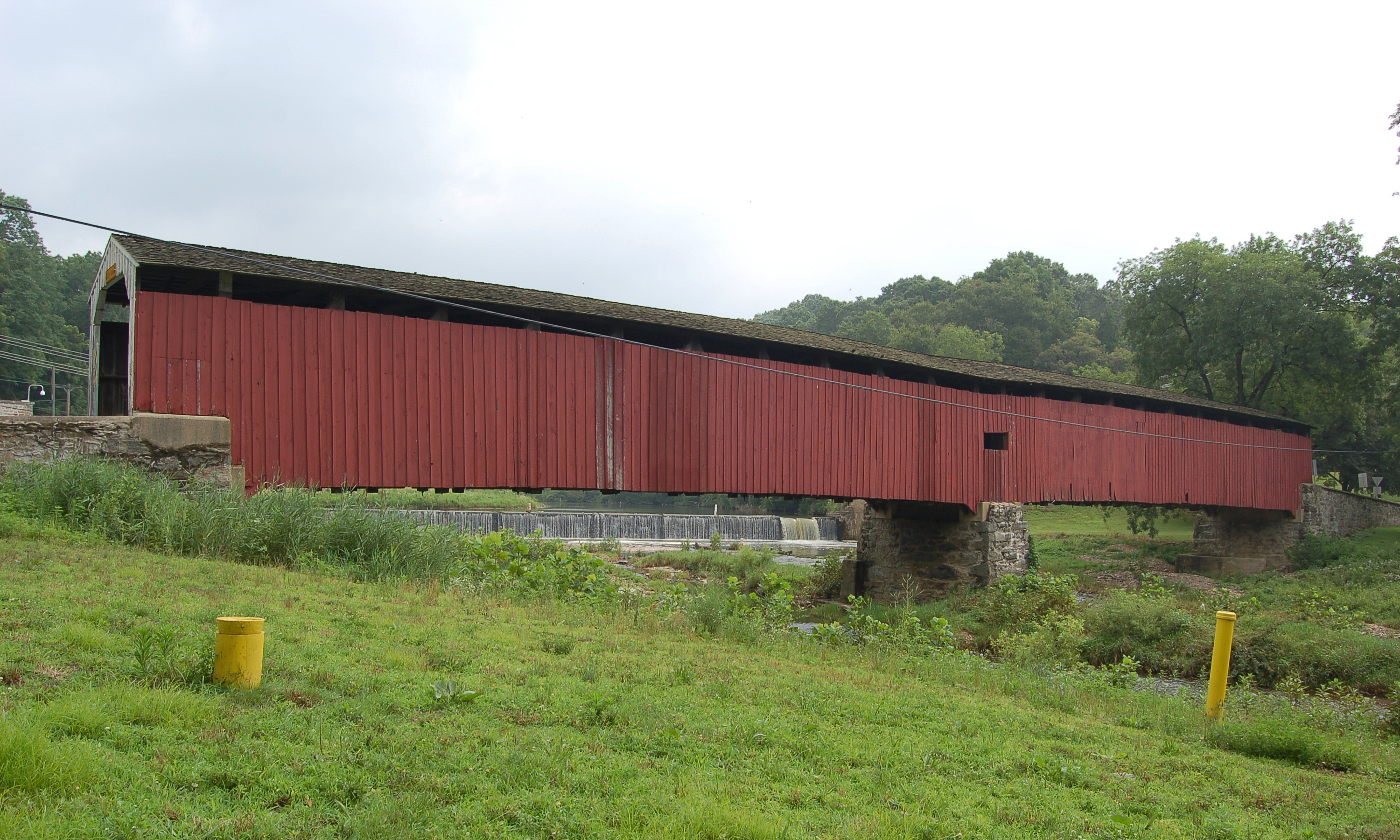
West Fallowfield Township is a township in Chester County, Pennsylvania, Chester County, Pennsylvania, United States. The population was 2,566 at the 2010 United States Census, 2010 census. It includes the unincorporated village of Cochranville, Pennsylvania, Cochranville. History The Bridge in West Fallowfield Township, Mercer's Mill Covered Bridge, and Joseph and Esther Phillips Plantation are listed on the National Register of Historic Places. Geography According to the United States Census Bureau, the township has a total area of , all of it land. Demographics At the 2010 census, the township was 89.7% non-Hispanic White, 1.5% Black or African American, 0.9% Asian, and 1.6% were two or more races. 6.8% of the population were of Hispanic or Latino ancestry. At the 2000 United States Census, 2000 census there were 2,485 people, 829 households, and 674 families living in the township. The population density was 137.5 people per square mile (53.1/km2). There were 858 housing ... [...More Info...] [...Related Items...] OR: [Wikipedia] [Google] [Baidu] |
Presbyterianism
Presbyterianism is a part of the Reformed tradition within Protestantism that broke from the Roman Catholic Church in Scotland by John Knox, who was a priest at St. Giles Cathedral (Church of Scotland). Presbyterian churches derive their name from the presbyterian form of church government by representative assemblies of elders. Many Reformed churches are organised this way, but the word ''Presbyterian'', when capitalized, is often applied to churches that trace their roots to the Church of Scotland or to English Dissenter groups that formed during the English Civil War. Presbyterian theology typically emphasizes the sovereignty of God, the authority of the Scriptures, and the necessity of grace through faith in Christ. Presbyterian church government was ensured in Scotland by the Acts of Union in 1707, which created the Kingdom of Great Britain. In fact, most Presbyterians found in England can trace a Scottish connection, and the Presbyterian denomination was also taken ... [...More Info...] [...Related Items...] OR: [Wikipedia] [Google] [Baidu] |
Meeting House
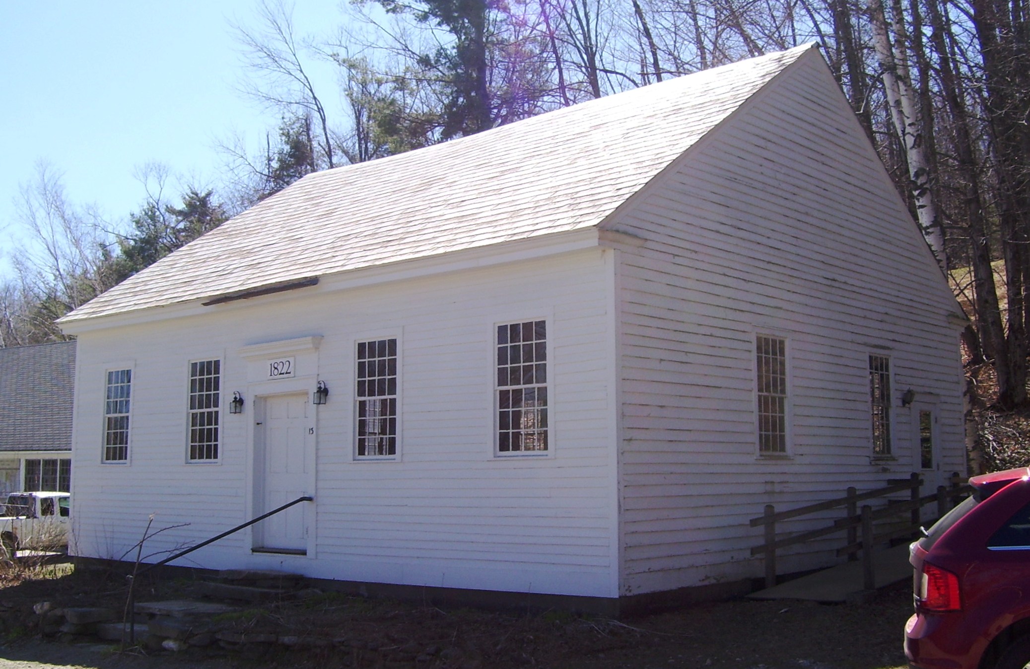
A meeting house (meetinghouse, meeting-house) is a building where religious and sometimes public meetings take place. Terminology Nonconformist Protestant denominations distinguish between a * church, which is a body of people who believe in Christ, and; * meeting house or chapel, which is a building where the church meets. In early Methodism, meeting houses were typically called preaching houses (to distinguish it from a church house), which hosted itinerant preachers. Meeting houses in America The colonial meeting house in America was typically the first public building built as new villages sprang up. A meeting-house had a dual purpose as a place of worship and for public discourse, but sometimes only for "...the service of God." As the towns grew and the separation of church and state in the United States matured the buildings which were used as the seat of local government were called a town-house or town-hall. The nonconformist meeting houses generally do not have s ... [...More Info...] [...Related Items...] OR: [Wikipedia] [Google] [Baidu] |
East Coast Of The United States
The East Coast of the United States, also known as the Eastern Seaboard, the Atlantic Coast, and the Atlantic Seaboard, is the coastline along which the Eastern United States meets the North Atlantic Ocean. The eastern seaboard contains the coastal states and areas east of the Appalachian Mountains that have shoreline on the Atlantic Ocean, namely, Maine, New Hampshire, Massachusetts, Rhode Island, Connecticut, New York, New Jersey, Delaware, Maryland, Virginia, North Carolina, South Carolina, Georgia, and Florida.General Reference Map , , 2003. Toponymy and composition T ...[...More Info...] [...Related Items...] OR: [Wikipedia] [Google] [Baidu] |


