|
Stad, Norway
Stad is a municipality in Vestland county, Norway. It is located in the traditional district of Nordfjord. The municipality includes much of the northern shore of the Nordfjorden as well as the Stad peninsula. The administrative centre of the municipality is the village of Nordfjordeid. Other villages in the municipality include Selje, Barmen, Ervik, Flatraket, Hoddevik, Hoddevika, Håvik, Leikanger, Mogrenda, Stårheim, Haugen, Kjølsdalen, Heggjabygda, and Lote. The municipality is the 152nd largest by area out of the 356 municipalities in Norway. Stad is the 119th most populous municipality in Norway with a population of 9,527. The municipality's population density is and its population has increased by 8.5% over the previous 10-year period. The Stad Ship Tunnel is a planned canal and tunnel to bypass the Stad peninsula in Stad Municipality in Vestland county, Norway. When built it will be the first full-size ship tunnel in the world and will allow boats ... [...More Info...] [...Related Items...] OR: [Wikipedia] [Google] [Baidu] |
Nordfjordeid
Nordfjordeid is the administrative centre of the municipality of Stad in Vestland county, western Norway. It is located at the end of the Eidsfjorden, an arm off of the main Nordfjorden, west of the large lake Hornindalsvatnet. The village of Stårheim is located about to the west, the village of Mogrenda is about to the east, and the village of Lote is about to the southeast. The town is a commercial hub for the municipality and greater Nordfjord region. It includes several industries, such as timber, agriculture, electronics and commerce. It is the shopping hub for surrounding villages and towns, due to the shopping center and commerce streets. There are 5 primary schools, one lower secondary school and an upper secondary school connected to the Opera House in the town. Eid Church is also located in the town and it is the main church for the municipality. The European route E39 highway passes by Nordfjordeid on its way from Bergen to Ålesund. Norwegian National Road 1 ... [...More Info...] [...Related Items...] OR: [Wikipedia] [Google] [Baidu] |
Ervik, Sogn Og Fjordane
Ervik is a village in Stad Municipality in Vestland county, Norway. The village is located on the northwestern tip of the Stadlandet peninsula, about northwest of the village of Selje, and about northwest of the village of Leikanger. The village sits at the southern base of the mountain plateau, ''Kjerringa'' which forms a cliff that plunges almost vertically into the ocean at the northwestern end of the peninsula. It is one of the westernmost villages in mainland Norway. Ervik Church is located in the village. There is a memorial at the church for the people who died when was bombed by Allied aircraft and sank off the coast of Ervik. The village has a grocery store, kindergarten, and small school. The residents of Ervik work mostly with fishing and farming Agriculture or farming is the practice of cultivating plants and livestock. Agriculture was the key development in the rise of sedentary human civilization, whereby farming of domesticated species created foo ... [...More Info...] [...Related Items...] OR: [Wikipedia] [Google] [Baidu] |
Stad Ship Tunnel
The Stad Ship Tunnel ( no, Stad skipstunnel) is a planned canal and tunnel to bypass the Stad peninsula in Stad Municipality in Vestland county, Norway. The peninsula is one of the most exposed areas on the coast, without any outlying islands to protect it from the weather. The section has traditionally been one of the most dangerous along the coast of Norway. When built it will be the first full-size ship tunnel in the world. Location The surrounding waters, known as the Stadhavet Sea, is the most windswept part of the nation's coastline and is stormy around 100 days of the year, leading to ships often waiting days to pass through. Currents, created by the area marking the meeting point of the North Sea and the Norwegian Sea further complicate navigation: Since World War Two ended, 33 deaths have occurred in maritime accidents within the Stadhavet Sea. The official Visit Norway website has claimed Vikings would drag their boats over the peninsula to avoid crossing the dangerou ... [...More Info...] [...Related Items...] OR: [Wikipedia] [Google] [Baidu] |
Population Density
Population density (in agriculture: Stock (other), standing stock or plant density) is a measurement of population per unit land area. It is mostly applied to humans, but sometimes to other living organisms too. It is a key geographical term.Matt RosenberPopulation Density Geography.about.com. March 2, 2011. Retrieved on December 10, 2011. In simple terms, population density refers to the number of people living in an area per square kilometre, or other unit of land area. Biological population densities Population density is population divided by total land area, sometimes including seas and oceans, as appropriate. Low densities may cause an extinction vortex and further reduce fertility. This is called the Allee effect after the scientist who identified it. Examples of the causes of reduced fertility in low population densities are * Increased problems with locating sexual mates * Increased inbreeding Human densities Population density is the number of people pe ... [...More Info...] [...Related Items...] OR: [Wikipedia] [Google] [Baidu] |
Lote, Norway
Lote is a village in the municipality of Stad in Vestland county, Norway. The population of Lote (2001) was 132. The village is located about southeast of the village of Nordfjordeid and about northwest of the village of Sandane in Gloppen Municipality. The Lote Tunnel is a tunnel along the European route E39 that goes through a mountain north of Lote. The tunnel connects Lote with the rest of Stad municipality. History Starting in 1838, Lote was administratively a part of the municipality of Gloppen, despite being separated from the rest of Gloppen by the Nordfjorden. On 1 January 1992, the Lote area was transferred to the municipality of Eid (now Stad Municipality). At that time Lote had 158 inhabitants. Lote is still connected to the municipality of Gloppen by a car ferry. Transportation The European route E39 highway passes through the village of Lote as it travels north toward Nordfjordeid. Going south from Lote on E39, there is a ferry service which crosses the Nord ... [...More Info...] [...Related Items...] OR: [Wikipedia] [Google] [Baidu] |
Heggjabygda
Heggjabygda is a village in Stad Municipality in Vestland county, Norway. The village is located along the northern shore of the large lake Hornindalsvatnet. The village of Mogrenda lies about to the west. Heggjabygda Church is located in the village, right along the lake shore. The village sits at the intersection of Norwegian county road A Norwegian county road ( nb, Fylkesvei or nn, Fylkesveg) is a highway in Norway owned and maintained by the local county municipality. Some of the roads have road signs. The signs are white with black numbers. History In 1931, a system of n ...s 664 and 665 with connections to the village of Fyrde (in Volda Municipality) to the north and the villages of Mogrenda and Nordfjordeid to the east. References Villages in Vestland Stad, Norway {{Vestland-geo-stub ... [...More Info...] [...Related Items...] OR: [Wikipedia] [Google] [Baidu] |
Kjølsdalen
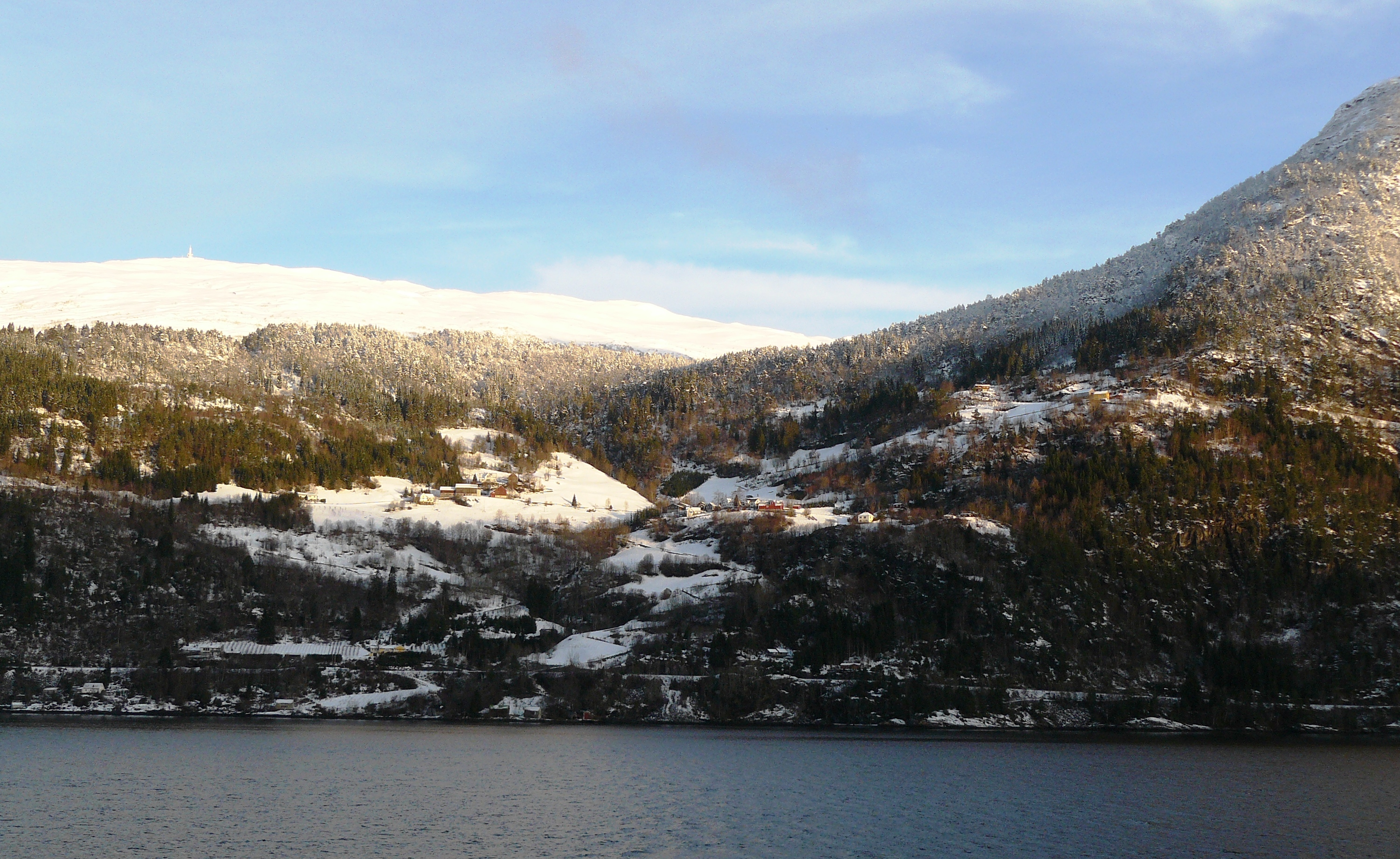
Kjølsdalen is a village in the municipality of Stad in Vestland county, Norway. The village is located on the northern shore of the Nordfjorden, about west of the village of Stårheim and about east of the village of Bryggja (in Vågsøy Municipality). The village of Davik lies about across the fjord from Kjølsdalen. The village is named after the Kjølsdalen valley in which it is located. Historically, Kjølsdalen was administratively part of the old municipality of Davik until 1964 when it became part of Eid municipality. In 2020, Eid Municipality became Stad Municipality. Kjølsdalen Church is located in the village, serving the western part of the municipality of Eid. References Villages in Vestland Stad, Norway {{Vestland-geo-stub ... [...More Info...] [...Related Items...] OR: [Wikipedia] [Google] [Baidu] |
Stårheim
Stårheim (or ''Torvika'') is a village in the municipality of Stad in Vestland county, Norway. Stårheim is located in the central part of Stad Municipality on the north shore of the Nordfjorden, about west of the municipal center of Nordfjordeid and about east of the village of Kjølsdalen. There is a regularly scheduled ferry route from Stårheim to the small village of Isane (in Bremanger Municipality), located about south across the Nordfjorden. The urban centre of the village is called ''Torvika'' by Statistics Norway. The urban area has a population (2018) of 233 and a population density of . Church Stårheim Church is the parish church located in the village of Stårheim. It is part of the Diocese of Bjørgvin and the Nordfjord prosti (deanery). The church building, which was constructed during 1864, can seat 340 people. It was built from drawings by architect Christian Heinrich Grosch. History Arne Ivarsson (''Árni Ívarsson á Stoðreimi'' ), a prominent ... [...More Info...] [...Related Items...] OR: [Wikipedia] [Google] [Baidu] |
Mogrenda
Mogrenda is a village in the municipality of Stad in Vestland county, Norway. The village is located at the western end of the lake Hornindalsvatnet along the river Eidselva. It is about east of the village of Nordfjordeid, about north of the village of Lote, and about west of the village of Heggjabygda. The European route E39 highway and the Norwegian National Road 15 run concurrently through Mogrenda. These road connections link Mogrenda to Nordfjordeid to the west, Volda to the north, Otta to the east, and Sandane to the south. The village has a population (2018) of 348 and a population density Population density (in agriculture: Stock (other), standing stock or plant density) is a measurement of population per unit land area. It is mostly applied to humans, but sometimes to other living organisms too. It is a key geographical ... of . References Villages in Vestland Stad, Norway {{Vestland-geo-stub ... [...More Info...] [...Related Items...] OR: [Wikipedia] [Google] [Baidu] |
Leikanger, Selje
Leikanger is a village in Stad Municipality in Vestland county, Norway. The village is located along the Vanylvsfjorden on the eastern coast of the Stadlandet peninsula, about southeast of the village of Ervik and the same distance north of the village of Selje. Leikanger Church is located in the village. There is some industry in the village as well as some small farming and fishing. The village has a population (2018) of 408 and a population density of . Just south of the village at Dragseidet is a large stone cross that was erected in 1913 to commemorate the meeting in 997 led by Olav Tryggvason to persuade the leaders of Norway to convert to Christianity Christianity is an Abrahamic monotheistic religion based on the life and teachings of Jesus of Nazareth Jesus, likely from he, יֵשׁוּעַ, translit=Yēšūaʿ, label=Hebrew/Aramaic ( AD 30 or 33), also referred to as Jesu .... References Stad, Norway Villages in Vestland {{Vest ... [...More Info...] [...Related Items...] OR: [Wikipedia] [Google] [Baidu] |
Håvik
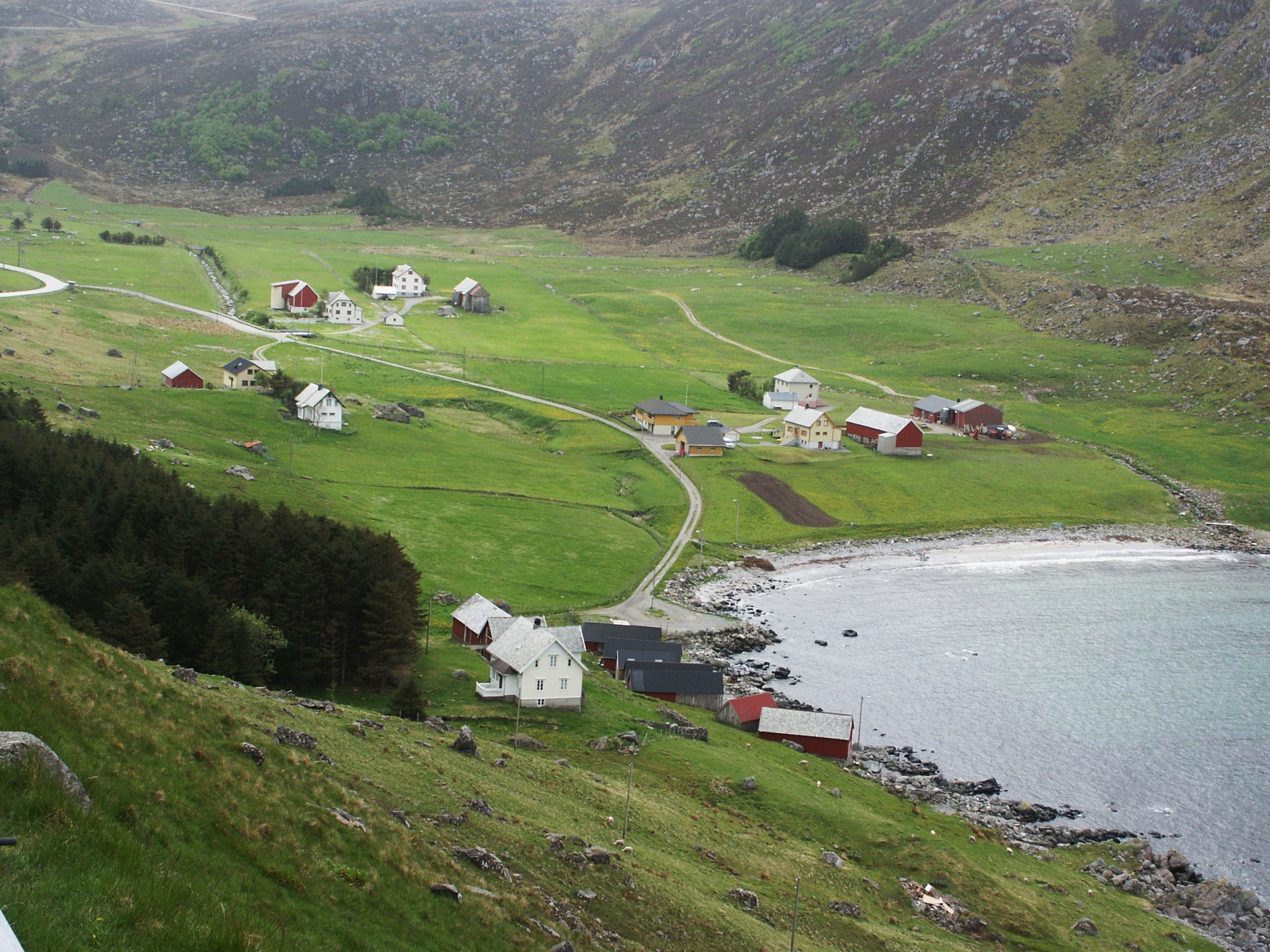
Håvik is a small village in Stad Municipality, in Vestland county, Norway. Håvik has approximately 35 inhabitants. Håvik has a high mountain at one side and the Nordpollen fjord right on the other side of the little village. Neighbouring villages are Flatraket, Nordpollen, Vengen, and Vetrhus. The closest store is at Flatraket, approximately a drive to the northwest. Håvik is about a drive from the town of Måløy in neighboring Kinn Municipality to the west and about the same distance to the village of Selje to the north. Håvik is an old name (formerly written as ''Haavig'') and comes from the high mountains "behind" the village, ''hå'' is an old Norwegian word for "high" and ''vik'' means "bay", therefore Håvik has high mountains by a bay. In the mountains of Håvik, there is a cave with visible signs of early living. A handcrafted cup of stone was found and delivered to the Historic Museum in Bergen during the 1970s. In earlier days, the people in Håvik, made ... [...More Info...] [...Related Items...] OR: [Wikipedia] [Google] [Baidu] |


